 English (UK)
 English (US)
 Français
 Deutsch
 Español
 Italiano
 Nederlands
 简体中文
Coast paths
Pembrokeshire Coast Path
Wales's first National Trail runs almost entirely inside the Pembrokeshire Coast National Park, from St Dogmaels in the north to Amroth in the south.
Facts checked 2 November 2026 against the sources listed at the end. Britlens is independent: see our editorial policy.

The path at a glance
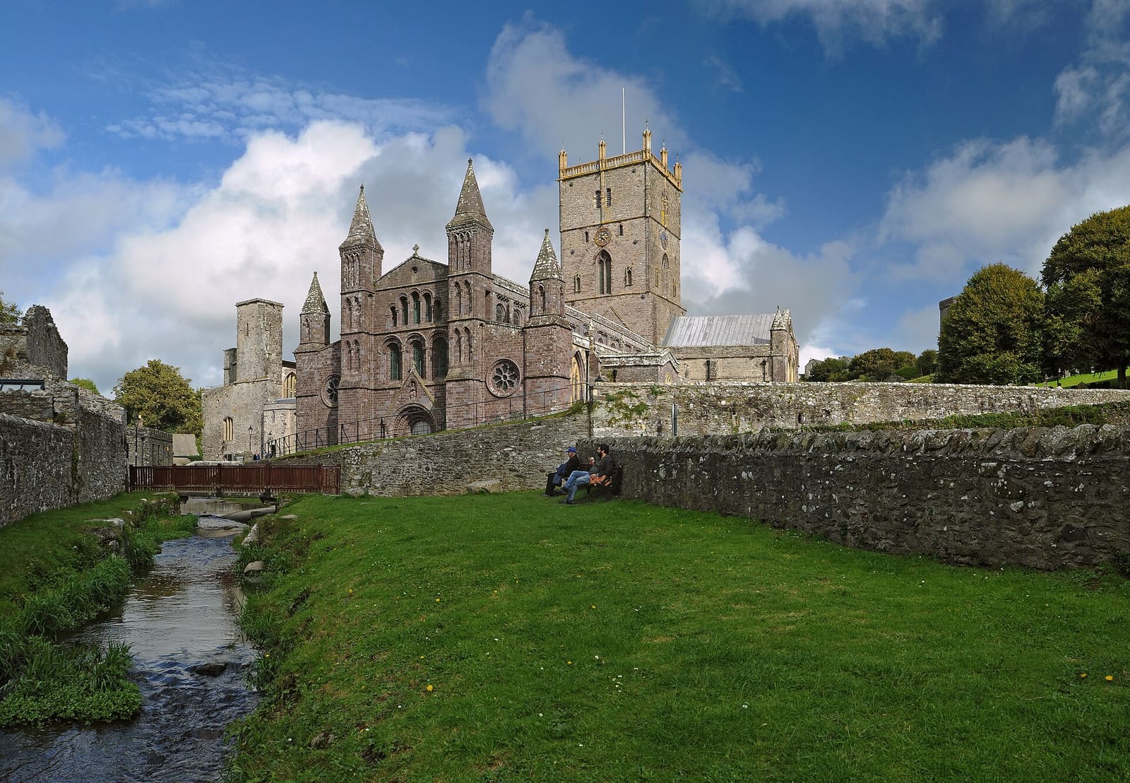
The Pembrokeshire Coast Path is 186 miles (299 km) long and was opened in 1970, the first National Trail in Wales. [1] It starts at St Dogmaels and ends at Amroth. [2] The route is well waymarked, but National Trails still advise carrying a guidebook or map. [1]
It is now also part of the longer Wales Coast Path.
The 15 sections
| Tramo | Distancia |
|---|---|
| St Dogmaels to Newport | 15.5 miles (25.7 km) |
| Newport to Fishguard | 12 miles (19.3 km) |
| Fishguard to Pwll Deri | 9 miles (14.5 km) |
| Pwll Deri to Porthgain | 12 miles (19.3 km) |
| Porthgain to Whitesands | 10 miles (16.1 km) |
| Whitesands to Solva | 13 miles (20.9 km) |
| Solva to Broad Haven | 12 miles (19.3 km) |
| Broad Haven to Martin's Haven | 11 miles (17.7 km) |
| Martin's Haven to Dale | 10 miles (16.1 km) |
| Dale to Neyland | 16 miles (25.7 km) |
| Neyland to Angle | 16 miles (25.7 km) |
| Angle to Freshwater West | 10 miles (16.1 km) |
| Freshwater West to Broad Haven (south) | 10 miles (16.1 km) |
| Broad Haven (south) to Skrinkle Haven | 11 miles (17.7 km) |
| Skrinkle Haven to Amroth | 14 miles (22.5 km) |
The first section is the hardest: frequent very steep hills and no services between Poppit and Newport Sands, so carry food and water; National Trails suggest splitting it with a break at Moylgrove. [2]

Tides, ranges and remote stretches
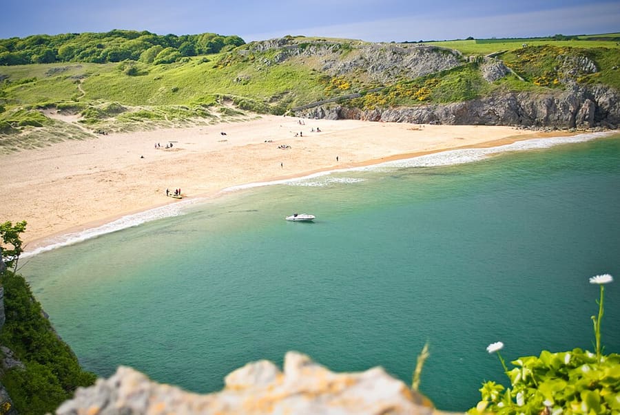
- Tidal crossings: between Dale and Neyland there are two tidal crossings; check the tide tables to avoid long detours by road. [2]
- Military range: between Freshwater West and Broad Haven (south) much of the coast is restricted because it is a firing range. [2]
- Remote coast: Angle to Freshwater West has no roads, houses or amenities and mostly no mobile signal. [2]
- Busiest stretch: Skrinkle Haven to Amroth, around Tenby, with views of Caldey Island. [2]

Cuándo ir
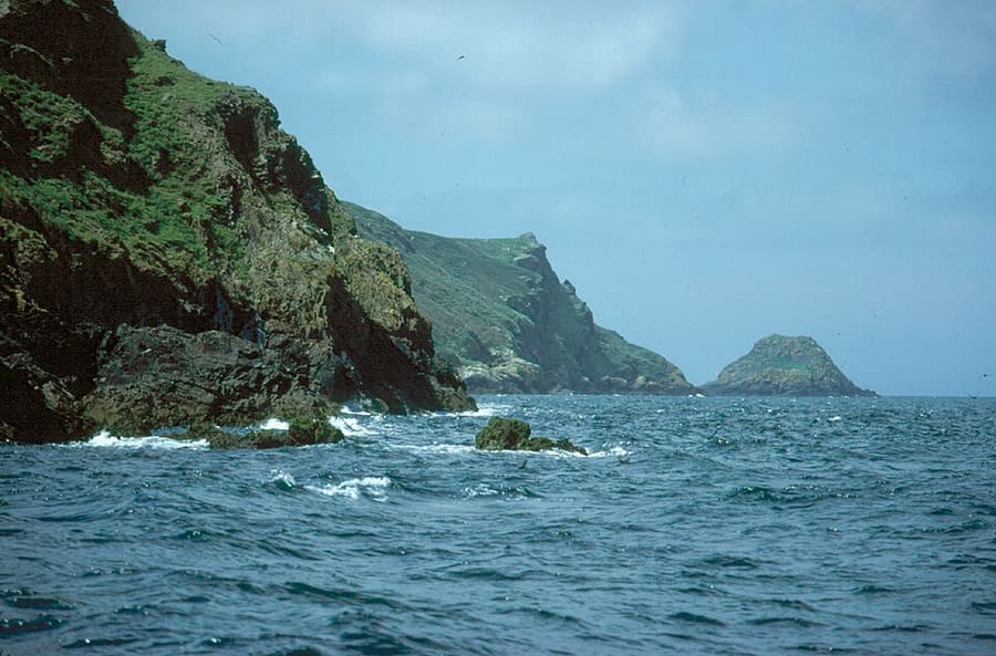
Spring is best for migrating and breeding birds and wild flowers; autumn for migrating birds and seal pups. In summer single-night accommodation can be hard to find, so book well ahead. [1]
Our Pembrokeshire coast guide covers St Davids, Tenby and boat trips to the islands.

Quick answers
How long does the Pembrokeshire Coast Path take?
National Trails lists 15 sections of 9 to 16 miles, so walking it all takes about two weeks at one section a day. [2]
Where does it start and finish?
At St Dogmaels in the north and Amroth in the south. [2]
Guías relacionadas
Fuentes
Read on the dates shown. Rules, dates and services change: check the source before you rely on it. Pages marked “not read” refused automated access, so we state nothing from them.
- Pembrokeshire Coast Path (opens in new tab), National Trails, read 2 November 2026
- Pembrokeshire Coast Path: route (opens in new tab), National Trails, read 2 November 2026