 English (UK)
 English (US)
 Français
 Deutsch
 Español
 Italiano
 Nederlands
 简体中文
Una miniguía de
Stonehaven and Dunnottar: getting there
Stops, stations and how to reach Stonehaven and Dunnottar
Paradas y estaciones
Getting to Stonehaven and Dunnottar
Elija la parada más cercana a su destino.
| Parada o estación | Servicios | Ideal para |
|---|---|---|
| Stonehaven | ScotRail | Station on Station Road, managed by ScotRail; some step-free access to all platforms, according to National Rail |
| Stonehaven town centre | Stagecoach Bluebird buses from Aberdeen | Check Traveline Scotland for current routes and times |
Walking from nearby areas
- Aberdeen city: 22.4 km from Stonehaven and Dunnottar, better by public transport
- Royal Deeside: 42.1 km from Stonehaven and Dunnottar, better by public transport
Reaching Aberdeen and Aberdeenshire
Información oficial de viajes
Aberdeen has an airport north-west of the city, a railway station beside the Union Square shopping centre with the bus station on its far side, and an overnight ferry port for Orkney and Shetland. Always check the operator for current times, fares and disruption.
- Aberdeen International Airport → — Flights, the Jet 727 bus and assisted travel
- National Rail: Aberdeen station → — Station facilities, step-free access and live departures
- Traveline Scotland → — Journey planner for buses and trains across Scotland
- NorthLink Ferries → — Ferries from Aberdeen to Orkney and Shetland
Los horarios, tarifas e incidencias cambian: consulte las páginas de los operadores indicadas arriba para información en directo.
Planifique aquí su trayecto
Enter your starting point and Google Maps will show routes to Stonehaven and Dunnottar. Public transport is selected; change it on the map. Check operator sites for live disruption.
While you are here
Things to see in Stonehaven and Dunnottar
A few of the sights in the area. The Things to do page lists them all, with directions and official links.
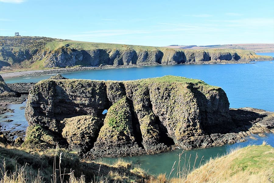
Dunnicaer
Sea stack between Stonehaven and Dunnottar Castle, the site of a Pictish fort.
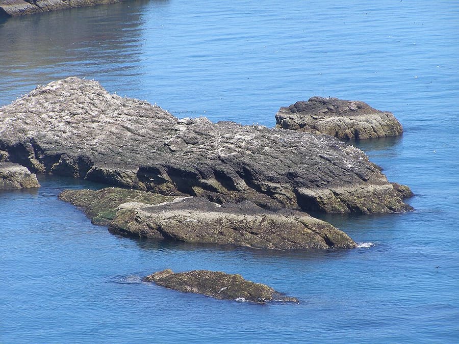
RSPB Fowlsheugh
Cliff-top RSPB reserve south of Stonehaven with over 115,000 breeding seabirds, seen from May to early August.
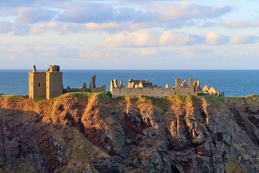
Dunnottar Castle
Ruined fortress of the Earls Marischal on a rock surrounded on three sides by the North Sea, 1.6 miles south of Stonehaven.
Aberdeen and Aberdeenshire
More areas to explore
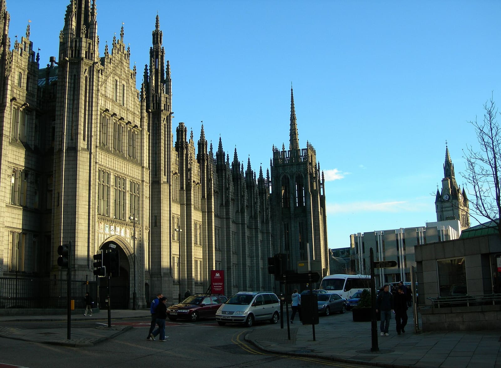
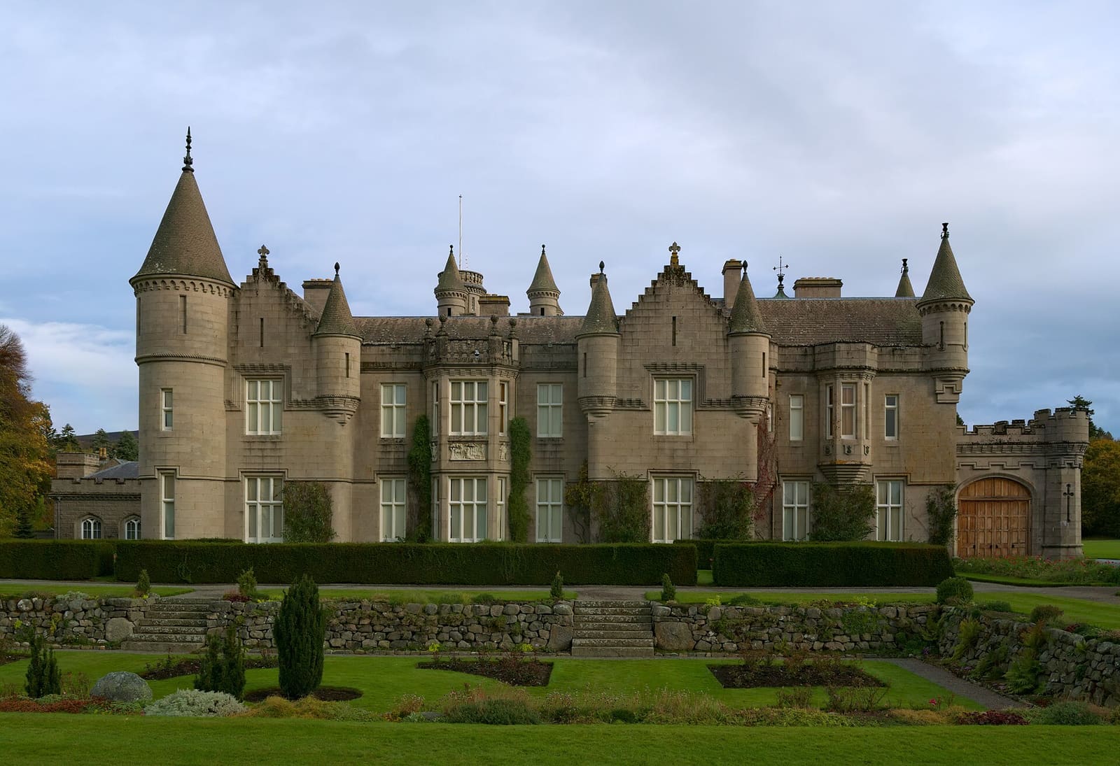
Créditos fotográficos
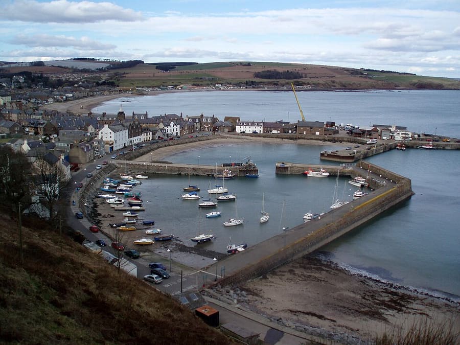
- Stonehaven Harbour: Onderwijsgek, CC BY-SA 2.5 nl, source
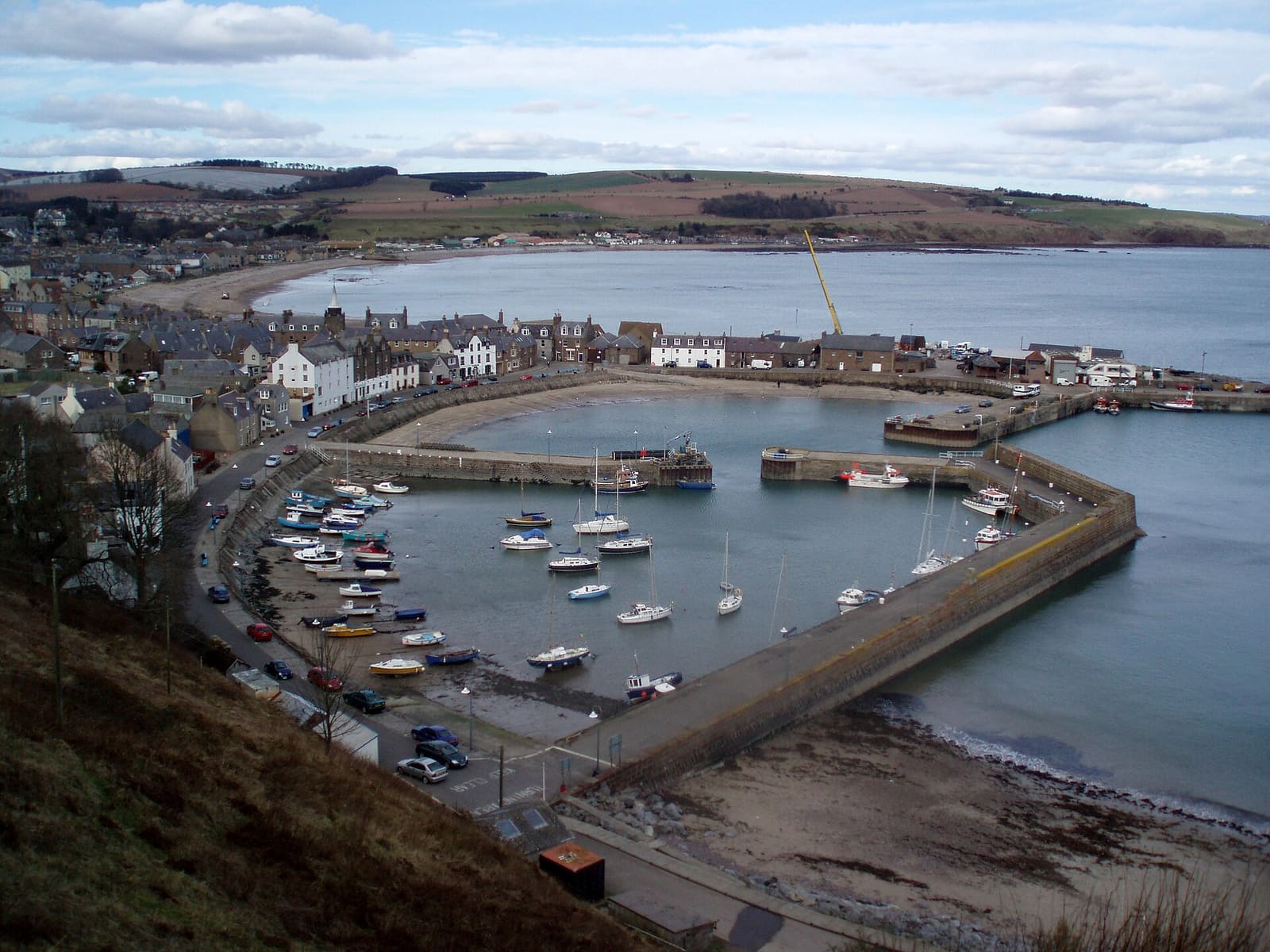
- Stonehaven and Dunnottar (area photo): Onderwijsgek, CC BY-SA 2.5 nl, source
- Dunnicaer: Andrew Wood, CC BY-SA 2.0, source
- RSPB Fowlsheugh: Photographer: C Michael Hogan Original uploader was Covalent at en.wikipedia, CC BY-SA 2.5, source
- Dunnottar Castle: Anne Burgess, CC BY-SA 2.0, source
- Aberdeen city: Carl Farnell, CC BY-SA 2.0, source
- Royal Deeside: Daniel Kraft, CC BY-SA 3.0, source
Photos from Wikimedia Commons, used under the licences shown. All photo credits
Keep exploring Aberdeen and Aberdeenshire