 English (UK)
 English (US)
 Français
 Deutsch
 Español
 Italiano
 Nederlands
 简体中文
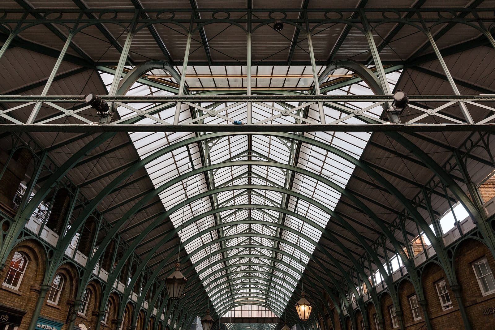
Soho & Covent Garden
Soho and Covent Garden
Squares, markets and side streets between Tottenham Court Road and the Piazza.
- Distance 3.6 km · 2.2 miles
- Walking time 45 min Allow 1 h 30 min for stops
- Stops9 Tottenham Court Road to Covent Garden
- Terrain Flat
- Step-freeCheck routeNot verified for this walk
Take this walk offline
The route
A compact walk through the West End's liveliest streets: the quiet green of Soho Square, shopping on Carnaby Street, the Berwick Street market stalls, Chinatown, then up through Seven Dials and Neal's Yard to the Covent Garden Piazza.
The interactive map needs JavaScript. The stops are listed below.
Stops
- Start: Tottenham Court Road
- End: Covent Garden
Distance and times come from a pedestrian route between the stops. Allow extra time for stops, and check for temporary closures.
Route and map data © OpenStreetMap contributors (ODbL). Walking routes by the FOSSGIS OSRM service, saved 2026-10-18. Spotted a mistake? Fix the map.
Saved. Plan your days in My trip
Google Maps chooses its own footpaths between the stops, so its line may differ slightly from the map above. The GPX file has our route and every stop as waypoints, for use in a walking or hiking app.
9 stops, in order
Each caption is a short fact; check opening times and tickets on the official site before you go.
-
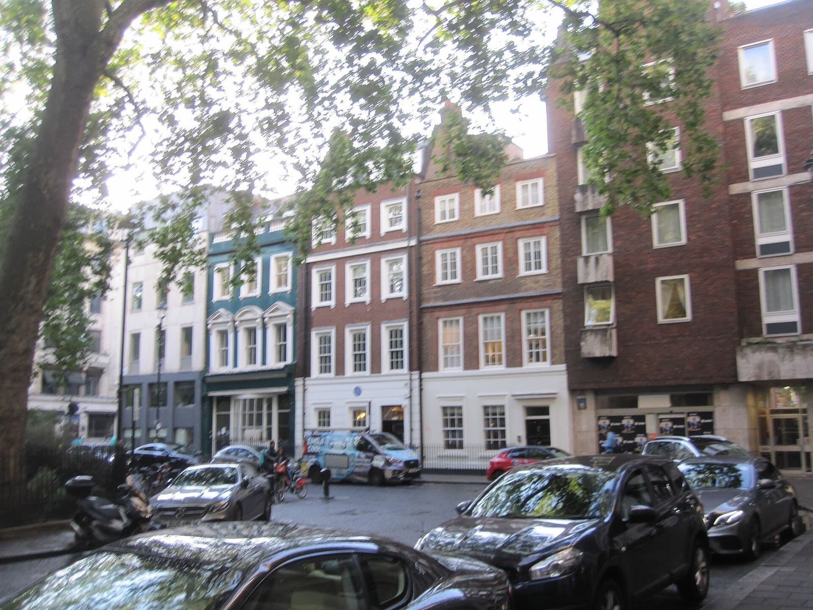
Stop 1 · Green space
Soho Square
Garden square on the northern edge of Soho.
600 m to the next stop
-
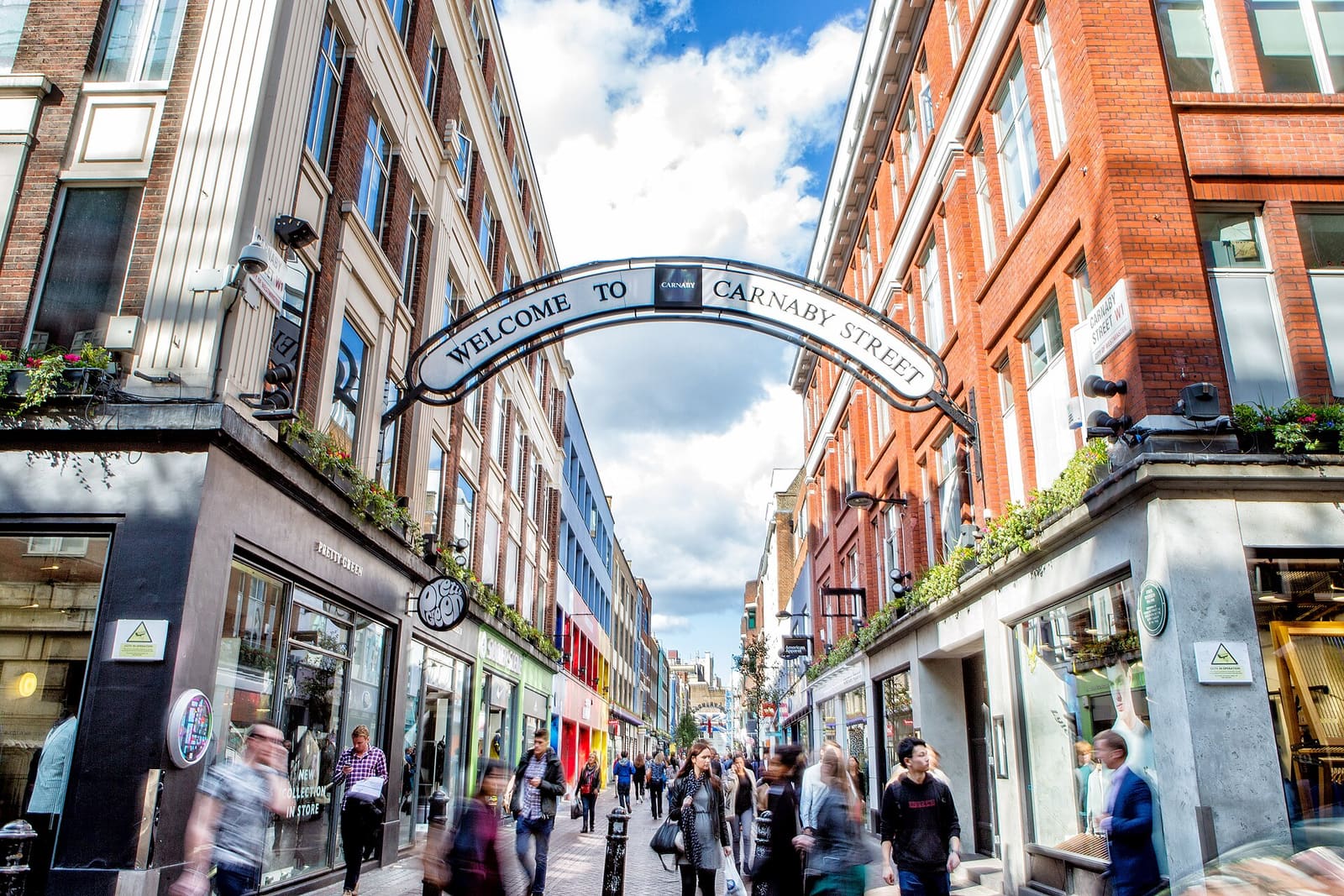
Stop 2 · Shopping
Carnaby Street
Pedestrianised shopping street on the western side of Soho.
370 m to the next stop
-
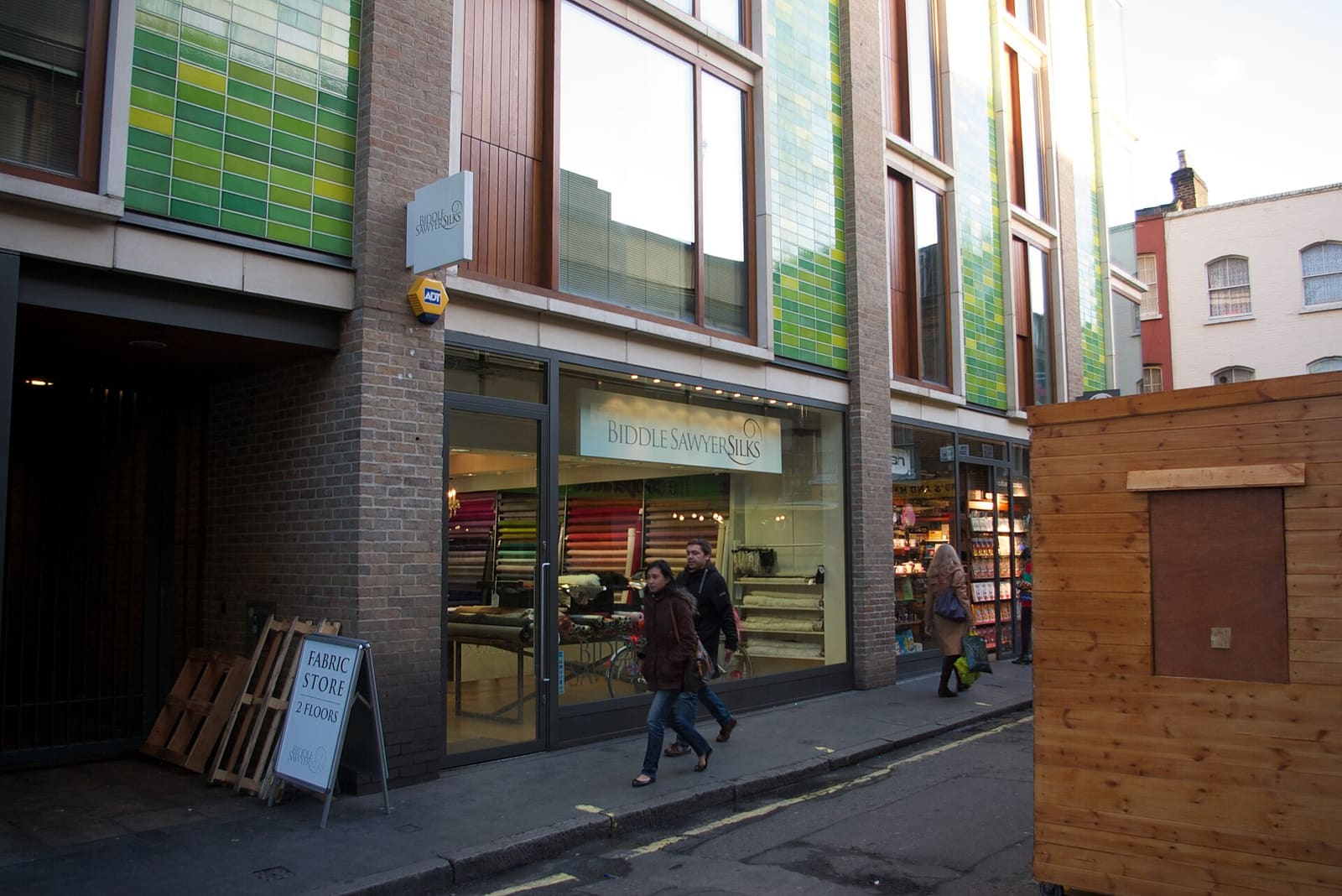
Stop 3 · Market
Berwick Street Market
Street market on Berwick Street in Soho.
330 m to the next stop
-
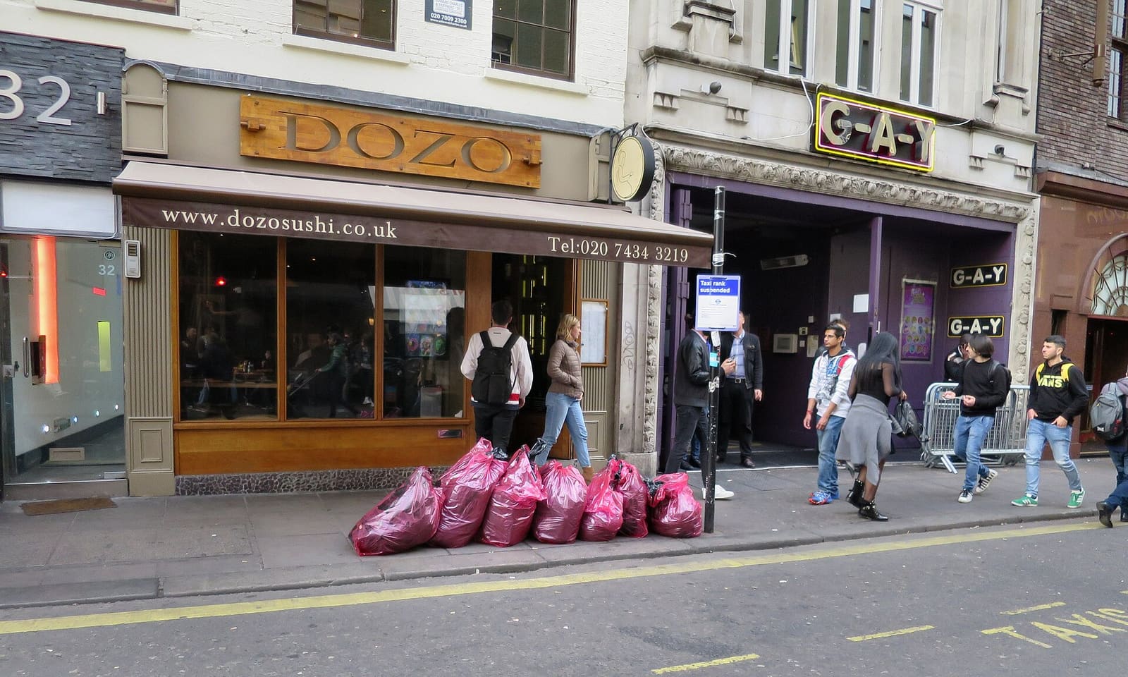
Stop 4 · Neighbourhood
Old Compton Street
Soho's main street of cafés, bars and restaurants.
320 m to the next stop
-
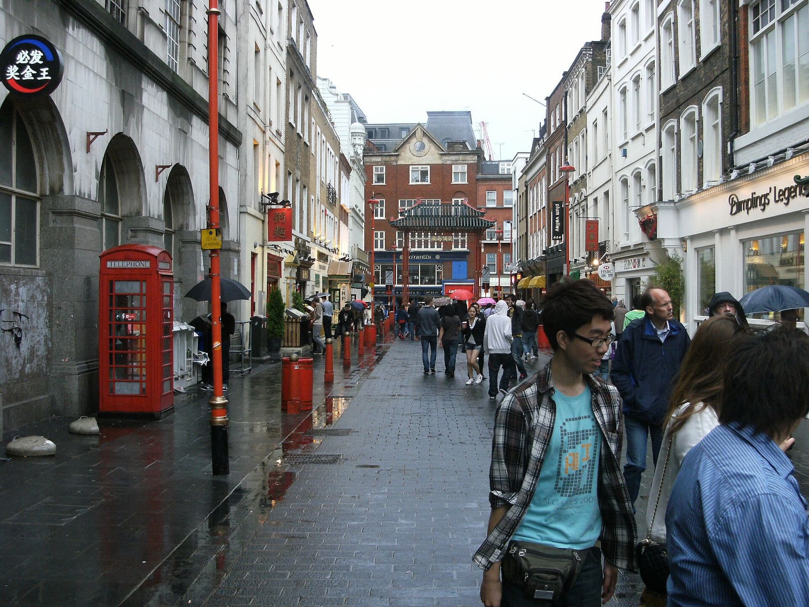
Stop 5 · Food & culture
Chinatown
The pedestrianised streets of London's Chinatown, around Gerrard Street.
190 m to the next stop
-
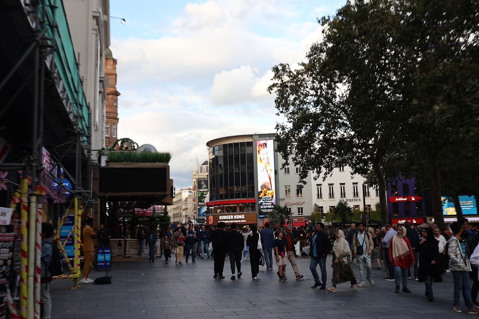
Stop 6 · Landmark
Leicester Square
Pedestrianised square in the middle of the West End.
560 m to the next stop
-
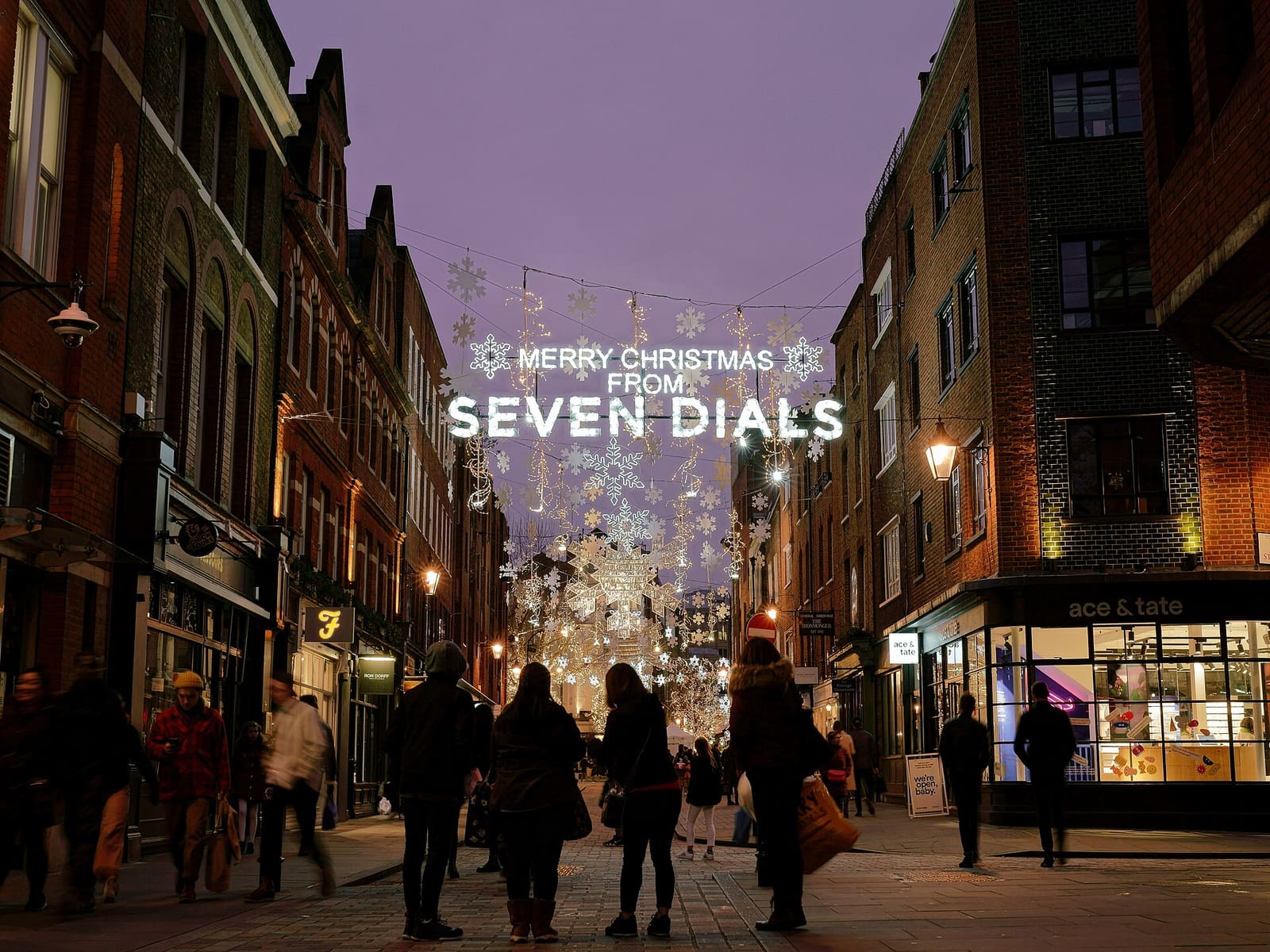
Stop 7 · Shopping & food
Seven Dials
A junction where seven streets meet around a central monument.
100 m to the next stop
-
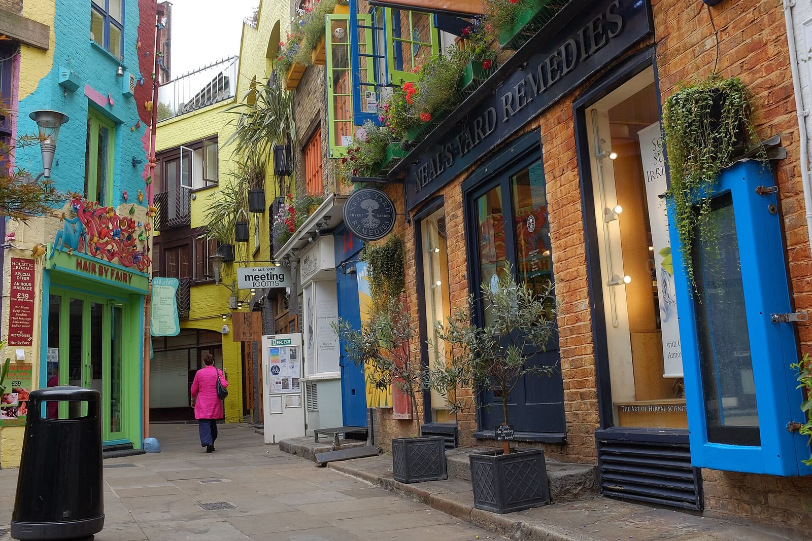
Stop 8 · Hidden gem
Neal's Yard
Courtyard of independent shops and cafés, a short walk from Seven Dials.
490 m to the next stop
-
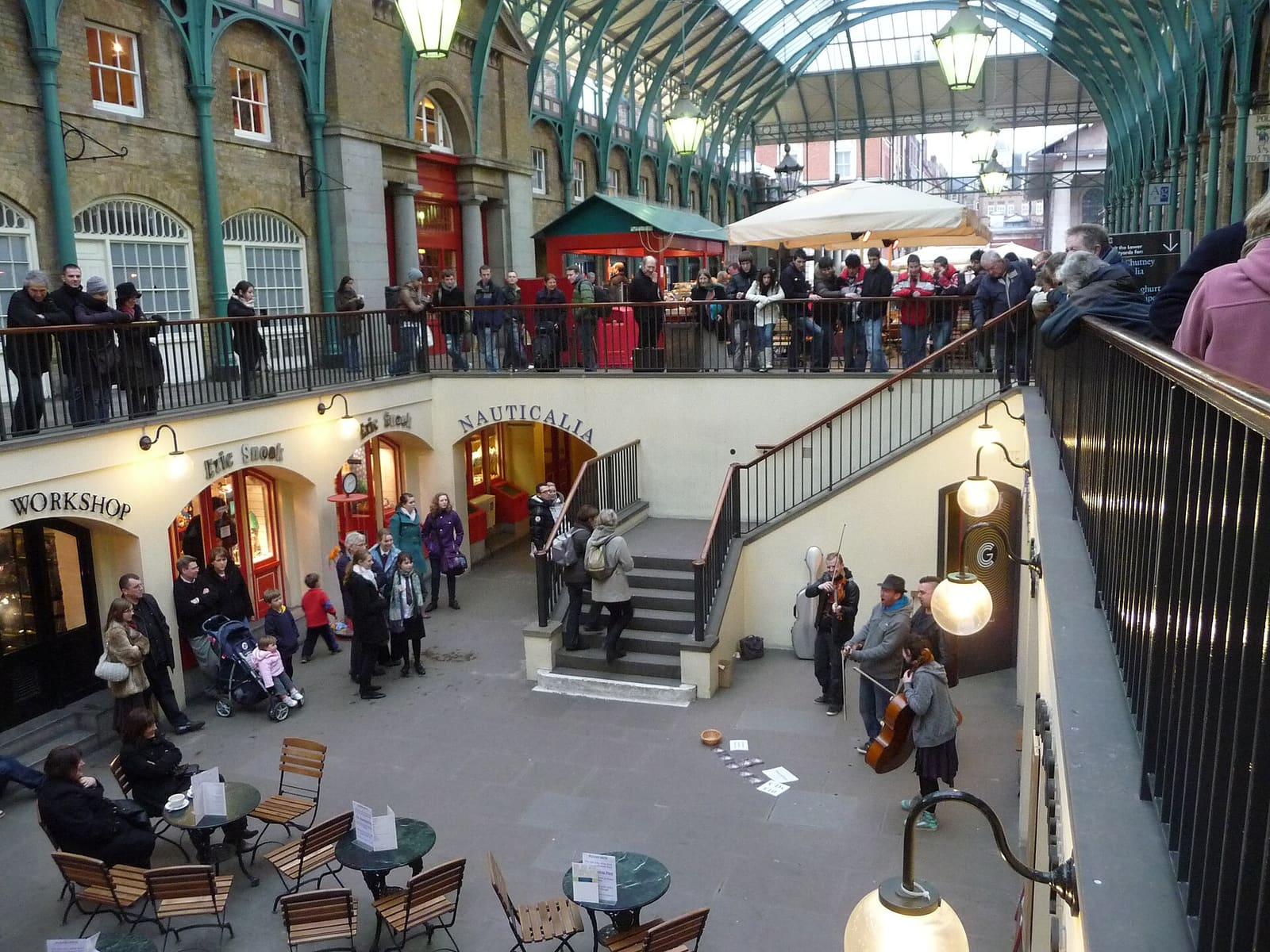
Stop 9 · Landmark
Covent Garden Piazza & Market
Historic piazza with a market hall, shops and street performers.
240 m to Covent Garden station
Read the guide
A short note for each stop, written to be read or recorded as an audio walk. Audio is not available for this walk yet.
Introduction
Read the guide
This walk goes from Tottenham Court Road station to Covent Garden station through Soho and Covent Garden. You will pass a garden square, a fashion street, a street market, Chinatown and Leicester Square, then reach Seven Dials, Neal's Yard and the old Covent Garden piazza. The route is compact, so you can take it at an easy pace.
Stop 1: Soho Square
Read the guide
Soho Square was built in the late 1670s, and the first lease was granted in 1677. It began life as King Square, after Charles the Second, and by a map of 1746 it was being called Soho Square. The garden at its centre is looked after by a local committee and leased to Westminster City Council, so it works like a public park. Look for the half-timbered hut in the garden. It was built in 1926 in the style of a market cross, and it hides an electricity substation. Next stop: Carnaby Street.
Sources for this stop
Stop 2: Carnaby Street
Read the guide
Carnaby Street takes its name from Karnaby House, built in 1683. The origin of that name is unknown. The street was laid out soon after, and was almost fully built by 1690. Its fashion story starts in the 1950s. John Stephen opened his shop, His Clothes, in 1957, and other menswear shops followed. In 1966 Lady Jane became the first women's fashion boutique on the street, and a Time magazine cover story that April brought it international attention as part of Swinging London. The street was pedestrianised in 1973. Next stop: Berwick Street Market.
Sources for this stop
Stop 3: Berwick Street Market
Read the guide
Berwick Street has had a street market for well over a century. A London County Council survey from 1893 says it began around 1843, and it counted thirty-two stalls on Saturdays. Many of the traders had moved over from Seven Dials after Shaftesbury Avenue was built. In 1854 a major cholera outbreak was centred on this street. Today it is still a small outdoor market, selling fruit and vegetables, hot food, clothing and household goods. Traders keep their own hours, so check before you plan a stop. Next stop: Old Compton Street.
Sources for this stop
Stop 4: Old Compton Street
Read the guide
Old Compton Street is named after Henry Compton, who raised money for the local parish church, St Anne's, dedicated in 1686. It was plain Compton Street until 1896. In the nineteenth century it was a gathering place for exiles, especially French ones. The Algerian Coffee Stores opened here in 1887 and is counted among the street's oldest shops. Since the 1970s the street has been a focal point for London's LGBT community. In 1999 a nail bomb attack on the Admiral Duncan pub killed three people, and the pub reopened afterwards. Next stop: Chinatown.
Sources for this stop
Stop 5: Chinatown
Read the guide
London's first Chinatown was in Limehouse, in the East End, where Chinese-run businesses served sailors from the docks. After the Second World War, Chinese restaurants opened elsewhere, probably first on Lisle Street. By the 1970s this enclave off Shaftesbury Avenue was being recognised as Chinatown. Before that it was a run-down part of Soho. Gerrard Street is still its core, though the area has no official boundary. A Qing-style gate on Wardour Street opened in July 2016. Next stop: Leicester Square.
Sources for this stop
Stop 6: Leicester Square
Read the guide
The square is named after Robert Sidney, the second Earl of Leicester, who bought the land in 1630. His house, Leicester House, was built by 1635, and the square was laid out in the 1670s as Leicester Fields. In 1874 the MP Albert Grant bought it and gave it to the Metropolitan Board of Works. The statue of Shakespeare with dolphins around it dates from that redesign, and it is the only original statue left. The square is best known for cinemas and film premieres. A big refurbishment finished in 2012. Next stop: Seven Dials.
Sources for this stop
Stop 7: Seven Dials
Read the guide
Seven Dials was laid out in the early 1690s by the developer Thomas Neale. He planned six roads meeting here, and a seventh was added later. A sundial column designed by Edward Pierce went up in 1694. It has six dial faces, and the column itself acts as the seventh dial. The original was taken down in 1773. For a long time people believed a mob pulled it down, but recent research suggests the Paving Commissioners removed it on purpose. A new column, following the original design, was unveiled in 1989. Next stop: Neal's Yard.
Sources for this stop
Stop 8: Neal's Yard
Read the guide
Neal's Yard is named after Thomas Neale, the seventeenth-century developer who also laid out Seven Dials. In the 1970s the activist and entrepreneur Nicholas Saunders bought a derelict warehouse here that had been used by the old Covent Garden fruit and vegetable market, and set up a wholefood warehouse. Other businesses grew from his success, including Neal's Yard Dairy, Monmouth Coffee and Neal's Yard Remedies. In 1976 Michael Palin and Terry Gilliam bought offices at number eleven. Next stop: Covent Garden Piazza and Market.
Sources for this stop
Stop 9: Covent Garden Piazza & Market
Read the guide
In 1630 Francis Russell, the fourth Earl of Bedford, asked Inigo Jones to lay out this piazza, which became London's first modern square. Market traders first set up stalls here in 1654, and in 1670 Charles the Second granted the Earl a charter for a daily fruit and vegetable market. Charles Fowler's neoclassical market hall was built in 1830. In 1974 the market moved about three miles south west to Nine Elms, and in 1980 the central building reopened as a shopping centre. Covent Garden station is close by, where the walk ends.
Sources for this stop
Written for Britlens from the sources listed under each stop. Check opening times and access on the official sites before you go.
Getting there and back
Both ends of the walk are at stations. Check live times and any planned works before you travel.
- Shops, stalls and attractions keep their own hours: check before you go. Streets are busiest on weekend afternoons and evenings.
- Step-free access has not been checked for this walk. Check the route and station access before you go.
- Opening times, prices and closures change: check before you visit.
More walks
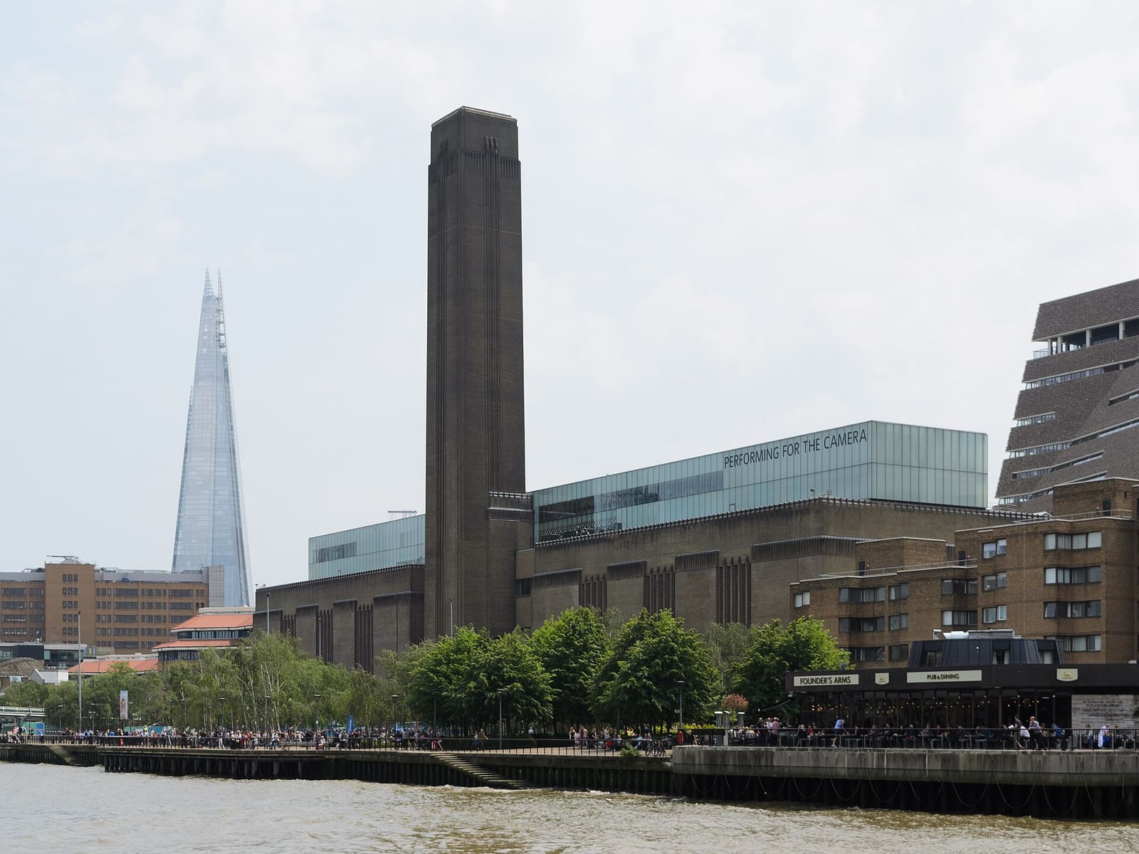 Thames Path: Westminster to Tower Bridge
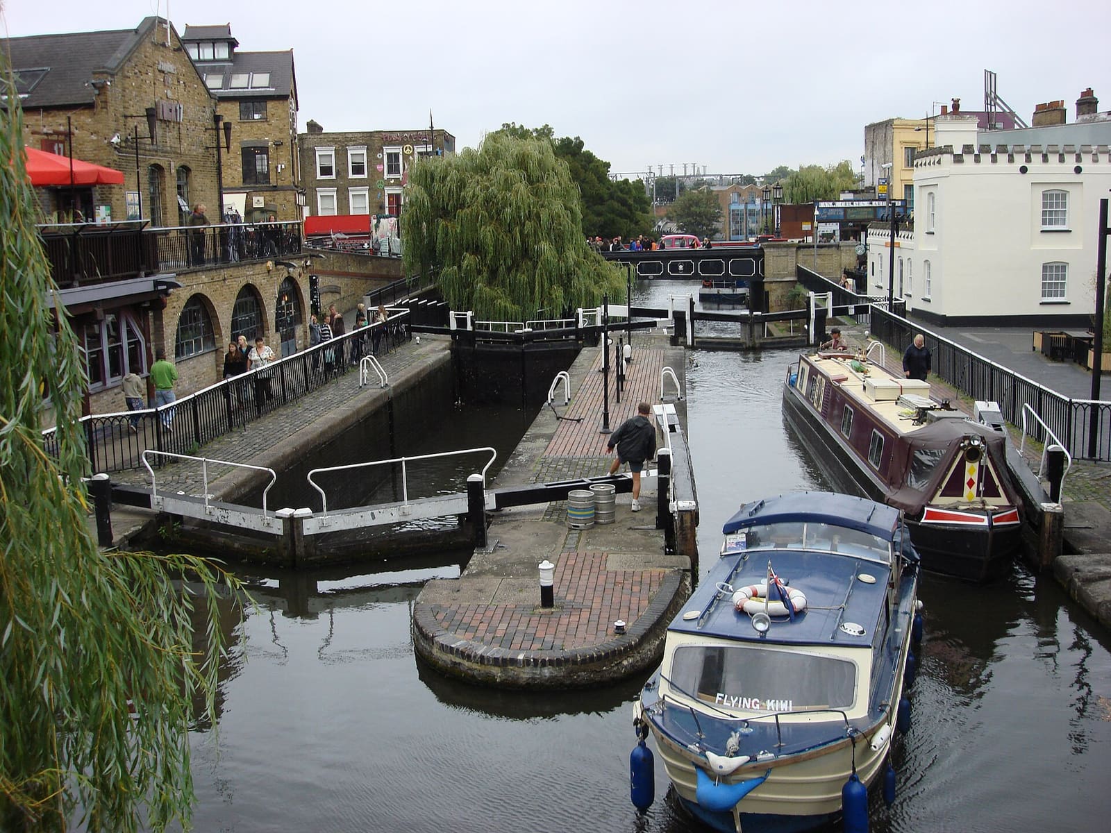 Camden, Primrose Hill and Little Venice
 Greenwich: Park, Observatory and Riverside
 Notting Hill, Portobello and Holland Park
Photos are credited on the photo credits page. Route and map data © OpenStreetMap contributors.