 English (UK)
 English (US)
 Français
 Deutsch
 Español
 Italiano
 Nederlands
 简体中文
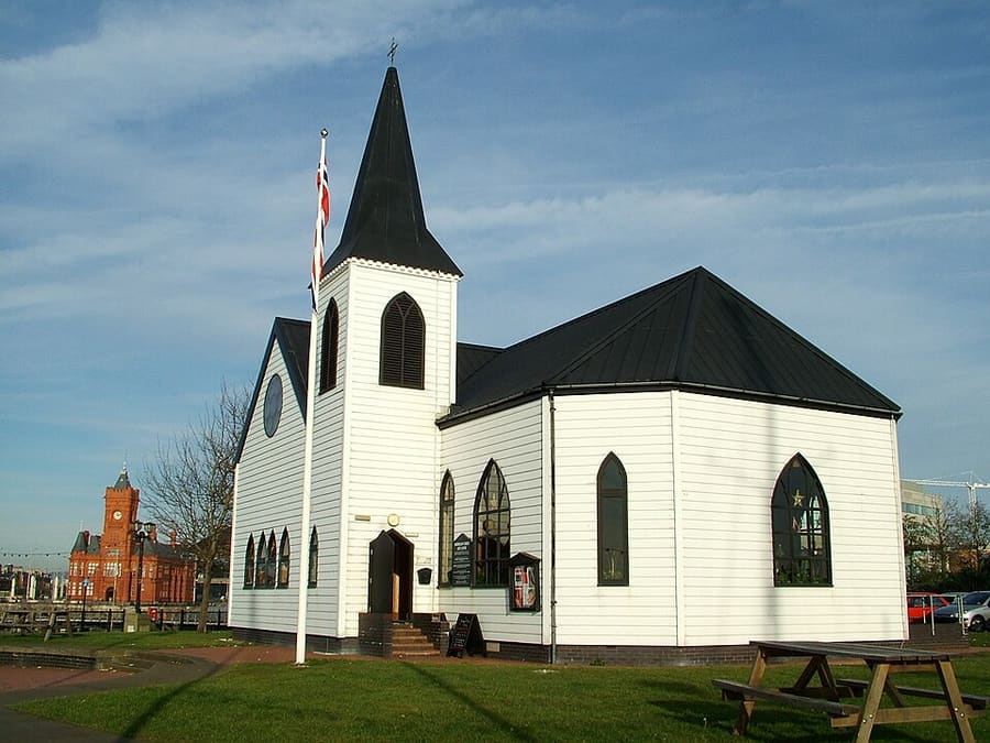
Una mini guida a
Cardiff (Caerdydd) & the Bay: come arrivare
Fermate, stazioni e come raggiungere Cardiff (Caerdydd) & the Bay
Fermate e stazioni
Come arrivare a Cardiff (Caerdydd) & the Bay
Scegliere la fermata più vicina alla destinazione.
| Fermata o stazione | Servizi | Adatto a |
|---|---|---|
| Cardiff Central | Transport for Wales, GWR, CrossCountry | Stazione principale, in centro vicino al Principality Stadium e al Cardiff Castle |
| Cardiff Queen Street | Transport for Wales | Il secondo nodo; secondo Visit Cardiff, un servizio regolare lo collega a Cardiff Bay |
| Waterbus (dal centro città alla Bay) | Gite in barca a Cardiff | Fermate nel Bute Park vicino alla West Gate e davanti a Mermaid Quay e al Pierhead Building |
| Cardiff Bus | Cardiff Bus | Rete su tutta la città; si paga con l'app, in modalità contactless, convalidando all'ingresso e all'uscita, oppure in contanti con l'importo esatto |
Within walking range
Stations near Cardiff (Caerdydd) & the Bay
Stations and stops mapped in OpenStreetMap within 2.5 km of the centre of Cardiff (Caerdydd) & the Bay, nearest first. Distances are straight lines; walking times assume 5 km/h and are a minimum.
| Station or stop | Tipo | Distanza | A piedi |
|---|---|---|---|
| Cardiff Bus Interchange | Bus or coach station (Transport for Wales) | 300 m | about 3 min |
| Sophia Gardens Coach Station | Bus or coach station | 900 m | about 11 min |
| Cathays | Rail station (Transport for Wales Rail) | 1.1 km | about 13 min |
| Grangetown | Rail station (Transport for Wales Rail) | 1.5 km | about 18 min |
Station data: © OpenStreetMap contributors (ODbL), read 1 November 2026. Check step-free access with the operator before you travel.
Walking from nearby areas
- Bannau Brycheiniog (Brecon Beacons): 48.3 km from Cardiff (Caerdydd) & the Bay, better by public transport
- Gower & Swansea (Abertawe): 61.7 km from Cardiff (Caerdydd) & the Bay, better by public transport
- Pembrokeshire Coast (St Davids & Tenby): 129.3 km from Cardiff (Caerdydd) & the Bay, better by public transport
- Eryri (Snowdonia): 184.5 km from Cardiff (Caerdydd) & the Bay, better by public transport
Come raggiungere il Galles
Informazioni ufficiali sui trasporti
Il Galles si raggiunge in treno, autobus a lunga percorrenza, auto, aereo e nave, ma i parchi nazionali e la costa sono piuttosto lontani dalle città principali. Verificare sempre con il gestore orari, tariffe e disservizi aggiornati.
- Visit Wales → — l'ente nazionale del turismo
- Transport for Wales → — treni e autobus TrawsCymru
- Traveline Cymru → — pianificazione dei viaggi con i mezzi pubblici in Galles
- National Rail → — orari e tariffe dei treni
- Great Western Railway → — treni tra Londra, Bristol e il Galles meridionale
- Cardiff Airport → — voli e proseguimento del viaggio
- TrawsCymru → — autobus a lunga percorrenza in Galles
- Visit Cardiff → — come raggiungere Cardiff
- Eryri National Park Authority → — come arrivare e spostarsi a Eryri
- Sherpa'r Wyddfa → — autobus intorno a Yr Wyddfa
- Autobus costieri del Pembrokeshire → — autobus lungo il Coast Path
- Bannau Brycheiniog: come arrivare → — treni, autobus a lunga percorrenza e autobus per il parco
- Visit Swansea Bay → — come arrivare a Swansea, Mumbles e Gower
- Visit Conwy → — come arrivare a Conwy, Llandudno e Betws-y-Coed
Orari, tariffe e disservizi cambiano: per informazioni in tempo reale consultare le pagine dei gestori qui sopra.
Pianifichi qui il tragitto
Inserisca il punto di partenza e Google Maps mostrerà i percorsi per Cardiff (Caerdydd) & the Bay. Il trasporto pubblico è preselezionato; si può cambiare sulla mappa. Per eventuali disagi in tempo reale, controllare i siti degli operatori.
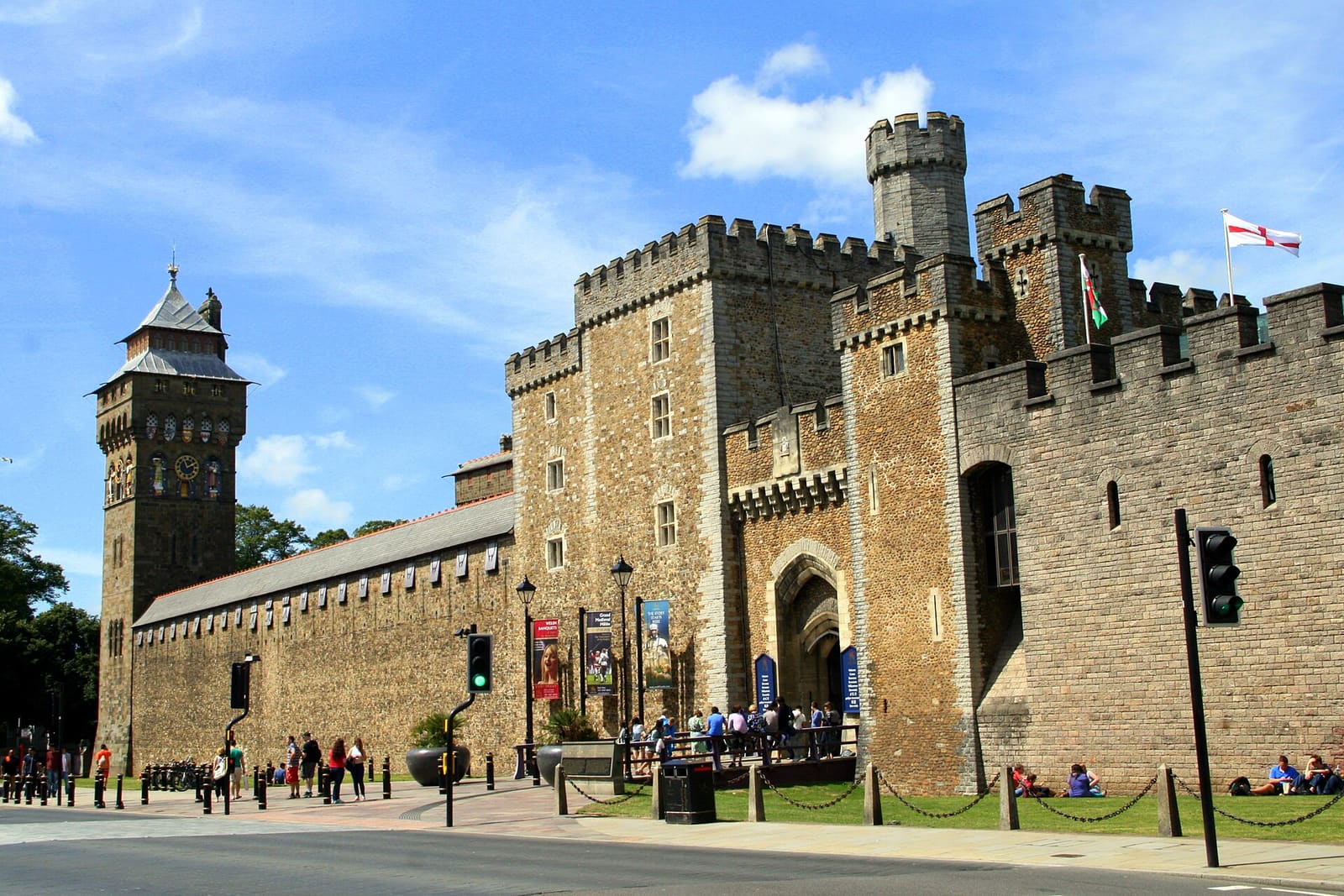
While you are here
Things to see in Cardiff (Caerdydd) & the Bay
A few of the sights in the area. The Things to do page lists them all, with directions and official links.
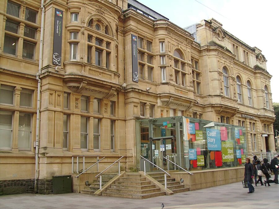
Museum of Cardiff (Amgueddfa Caerdydd)
Museo gratuito sulla storia della città, nell’edificio della Old Library, classificato Grade II*.
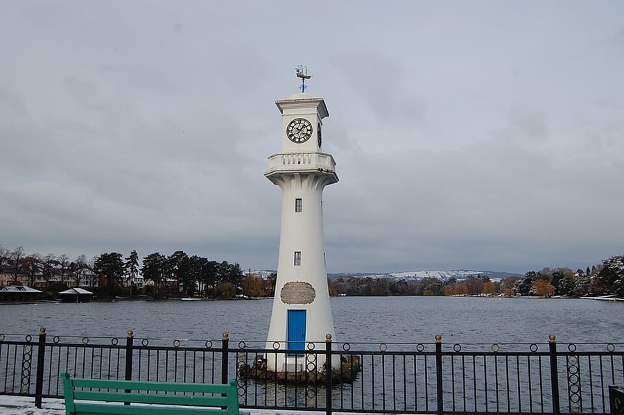
Roath Park (Parc y Rhath)
Parco con un lago di 30 acri (12 ettari), 1,3 miglia (2,1 km) di perimetro, su un’ex torbiera a nord-est del centro.
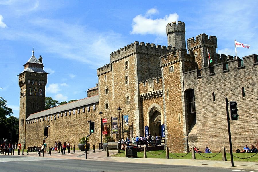
Cardiff Castle (Castell Caerdydd)
Mura romane, un mastio normanno e interni vittoriani nel centro città; il sito del castello racconta 2,000 anni di storia.
Galles
More areas to explore
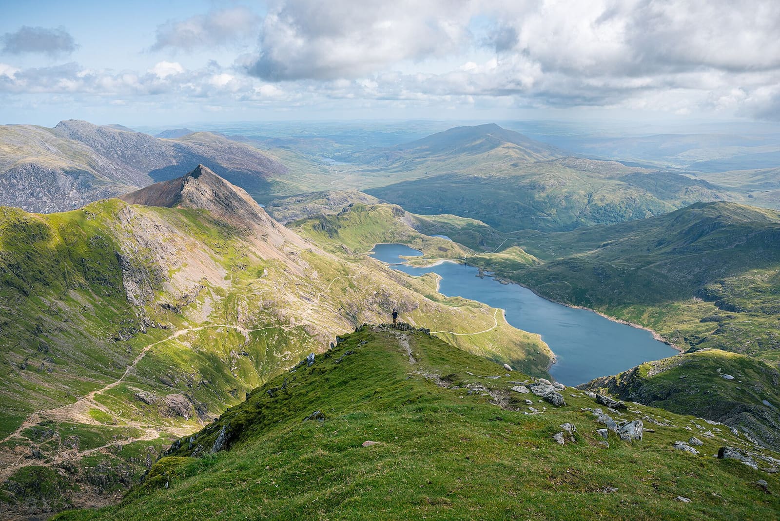
Eryri (Snowdonia)
Yr Wyddfa, ferrovie di montagna e patrimonio dell’ardesia nel primo parco nazionale del Galles
Apri la mini guida →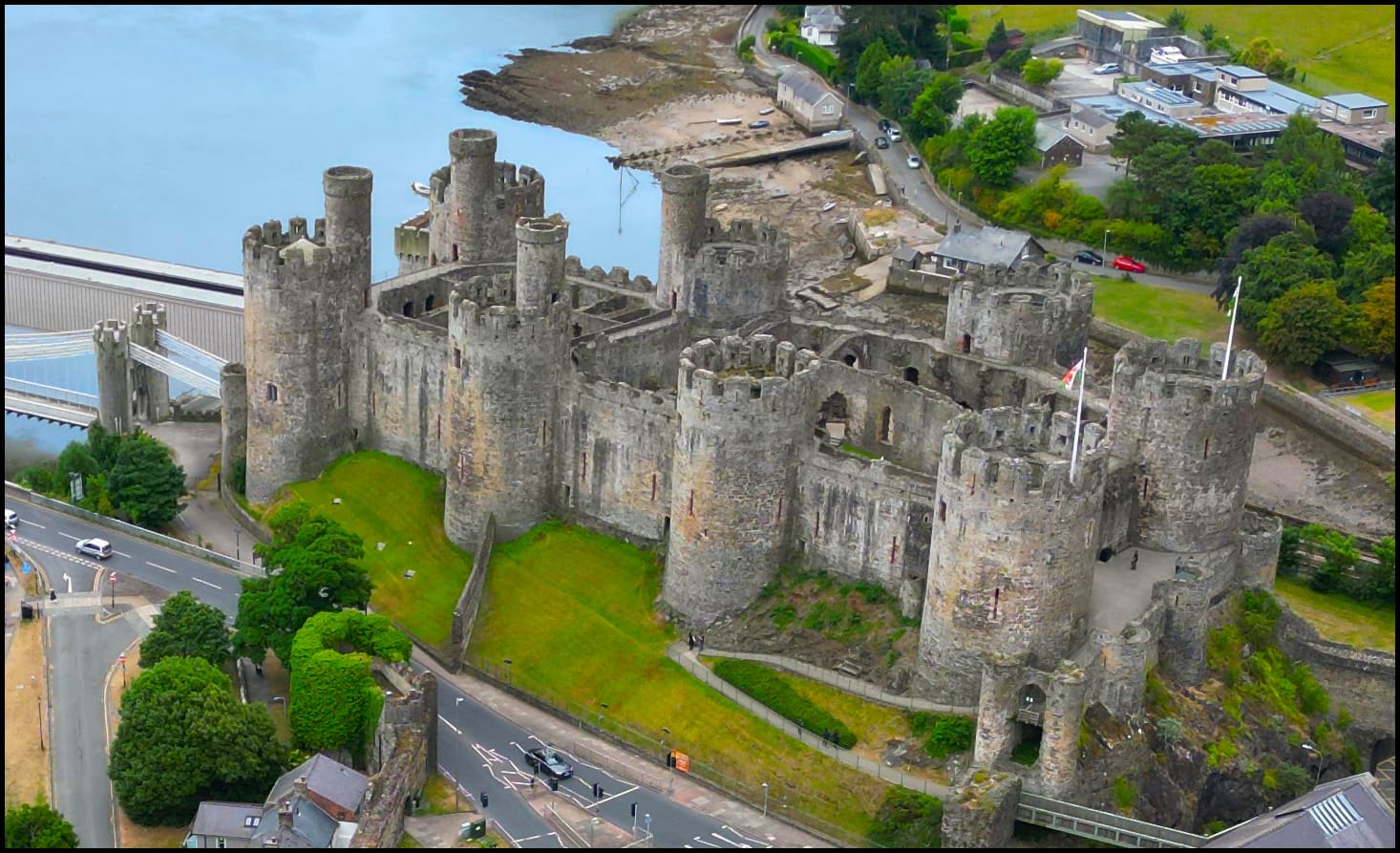
Conwy, Llandudno & the North Coast Castles
Una città medievale murata, una località balneare vittoriana e i castelli costieri di Edoardo I
Apri la mini guida →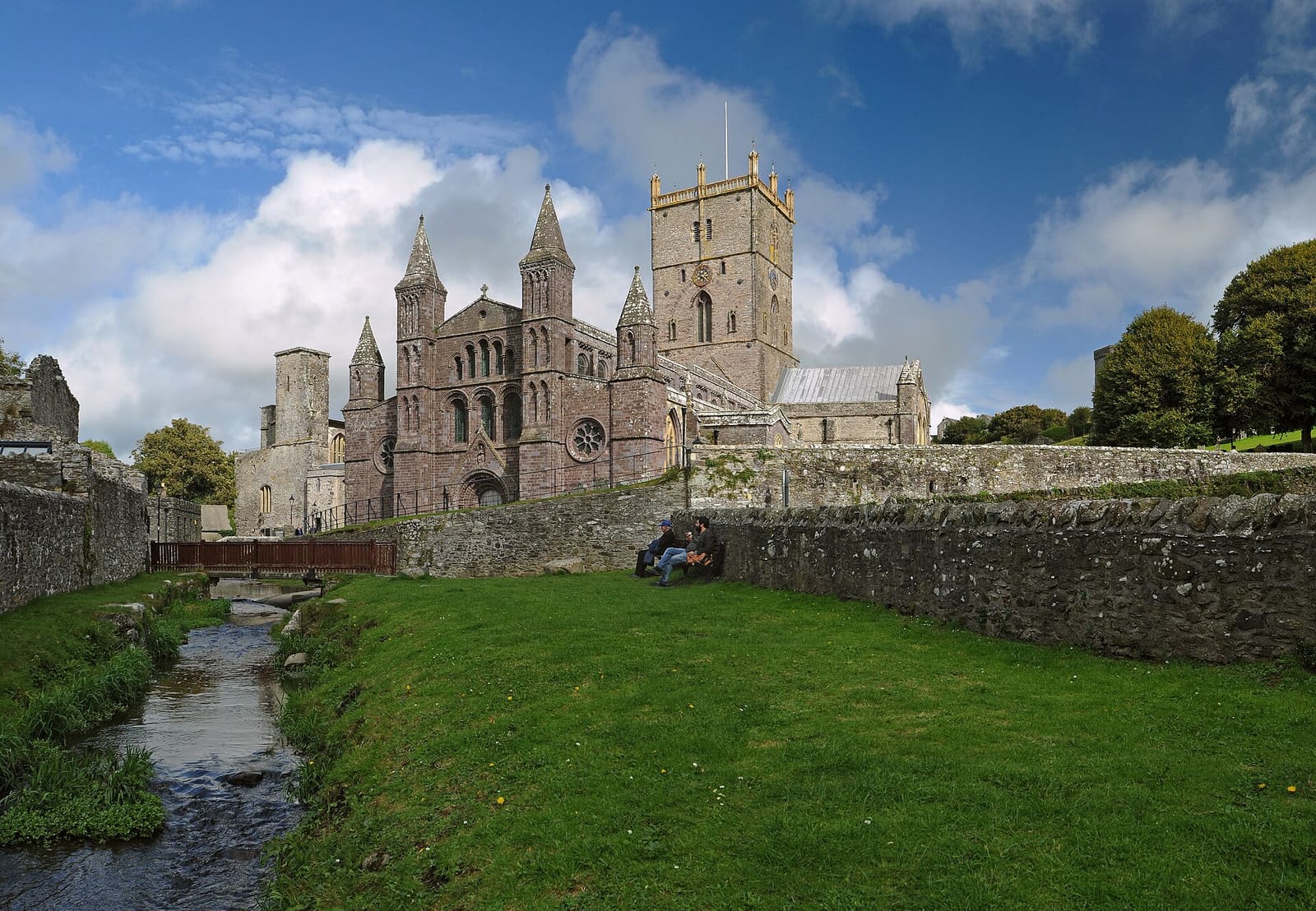
Pembrokeshire Coast (St Davids & Tenby)
Sentieri sulle scogliere, baie sabbiose, una città con cattedrale e una località balneare fortificata
Apri la mini guida →Crediti fotografici
- Norwegian Church Arts Centre: Michael Gwyther-Jones from UK, CC BY 2.0, source
- Cardiff (Caerdydd) & the Bay (area photo): Tevfik Teker, CC BY 3.0, source
- Museum of Cardiff (Amgueddfa Caerdydd): Seth Whales, CC BY-SA 3.0, source
- Roath Park (Parc y Rhath): Gail Franklin, CC BY-SA 2.0, source
- Cardiff Castle (Castell Caerdydd): Tevfik Teker, CC BY 3.0, source
- Eryri (Snowdonia): Julian Herzog (Website), CC BY 4.0, source
- Conwy, Llandudno & the North Coast Castles: Source: Llywelyn2000Derivative: User:MathKnight, CC BY-SA 4.0, source
- Pembrokeshire Coast (St Davids & Tenby): Ввласенко, CC BY 4.0, source
- Bannau Brycheiniog (Brecon Beacons): Dave.Dunford at English Wikipedia, Public domain, source
- Gower & Swansea (Abertawe): Llywelyn2000, CC BY-SA 4.0, source
Photos from Wikimedia Commons, used under the licences shown. All photo credits
Continui a esplorare il Galles