 English (UK)
 English (US)
 Français
 Deutsch
 Español
 Italiano
 Nederlands
 简体中文
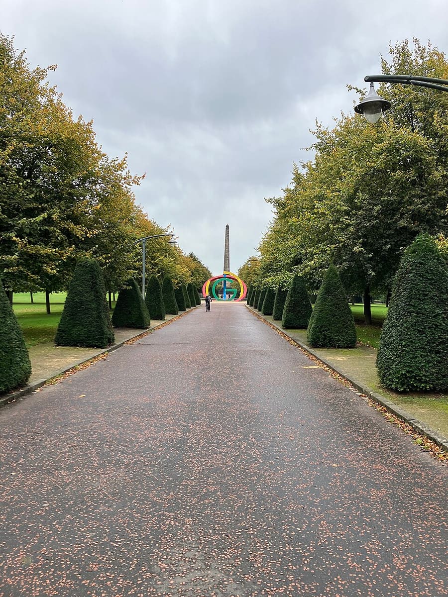
Una mini guida a
Glasgow Green & the East End: come arrivare
Fermate, stazioni e come raggiungere Glasgow Green & the East End
Fermate e stazioni
Come arrivare a Glasgow Green & the East End
Scegliere la fermata più vicina alla destinazione.
| Fermata o stazione | Servizi | Adatto a |
|---|---|---|
| Glasgow Central | Treno | Stazione principale per sud e ovest, secondo Visit Glasgow; per i servizi verso est fino a Celtic Park consultare ScotRail |
| St Enoch | Glasgow Subway | Fermata della Subway più vicina al lato del Green verso il centro; SPT indica nelle vicinanze Central Station e Argyle Street |
Within walking range
Stations near Glasgow Green & the East End
Stations and stops mapped in OpenStreetMap within 2.5 km of the centre of Glasgow Green & the East End, nearest first. Distances are straight lines; walking times assume 5 km/h and are a minimum.
| Station or stop | Tipo | Distanza | A piedi |
|---|---|---|---|
| Bridgeton | Stazione | 200 m | about 2 min |
| Bellgrove | Stazione | 700 m | about 9 min |
| High Street | Stazione | 1.4 km | about 17 min |
| Alexandra Parade | Stazione | 1.8 km | about 21 min |
| Argyle Street | Stazione | 1.8 km | about 22 min |
| St Enoch (Subway) | Metropolitana | 2.1 km | about 25 min |
Station data: © OpenStreetMap contributors (ODbL), read 25 October 2026. Check step-free access with the operator before you travel.
Walking from nearby areas
- Cathedral Precinct, Necropolis & Dennistoun: 1.4 km from Glasgow Green & the East End, about 17 min on foot
- Merchant City & City Centre: 2.1 km from Glasgow Green & the East End, about 25 min on foot
- Charing Cross & Garnethill: 3.3 km from Glasgow Green & the East End, about 40 min on foot
- The Southside: 3.9 km from Glasgow Green & the East End, about 47 min on foot
Come raggiungere Glasgow
Informazioni ufficiali sui trasporti
Glasgow ha due stazioni ferroviarie principali, una stazione degli autobus in centro e un aeroporto a ovest della città. ScotRail, Glasgow Airport, Citylink e Glasgow City Council bloccano le richieste automatiche, quindi questa pagina cita solo operatori e fonti che è stato possibile consultare; per orari, tariffe e disservizi verificare i rispettivi siti.
- Visit Glasgow → — il sito ufficiale per i visitatori della città
- Visit Glasgow: getting here → — treno, aereo, strada e mare
- Visit Glasgow: getting around → — Subway, autobus, bici e taxi
- Visit Glasgow: accessibility → — come pianificare una visita accessibile
- SPT: Glasgow Subway → — mappe, stazioni e biglietti
- SPT: Subway timetables → — orari di servizio e frequenza
- First Bus: Greater Glasgow → — autobus urbani e navetta per l'aeroporto
- Avanti West Coast → — treni da Londra e dal nord ovest
- Caledonian Sleeper → — treni notturni da Londra
- ScotRail → — la maggior parte dei servizi scozzesi (il sito blocca i controlli automatici)
- Glasgow Airport → — voli e collegamenti (il sito blocca i controlli automatici)
- National Rail Enquiries → — orari e tariffe dei treni
- Glasgow Life → — musei, biblioteche e sedi culturali
Orari, tariffe e disservizi cambiano: per informazioni in tempo reale consultare le pagine dei gestori qui sopra.
Pianifichi qui il tragitto
Inserisca il punto di partenza e Google Maps mostrerà i percorsi per Glasgow Green & the East End. Il trasporto pubblico è preselezionato; si può cambiare sulla mappa. Per eventuali disagi in tempo reale, controllare i siti degli operatori.
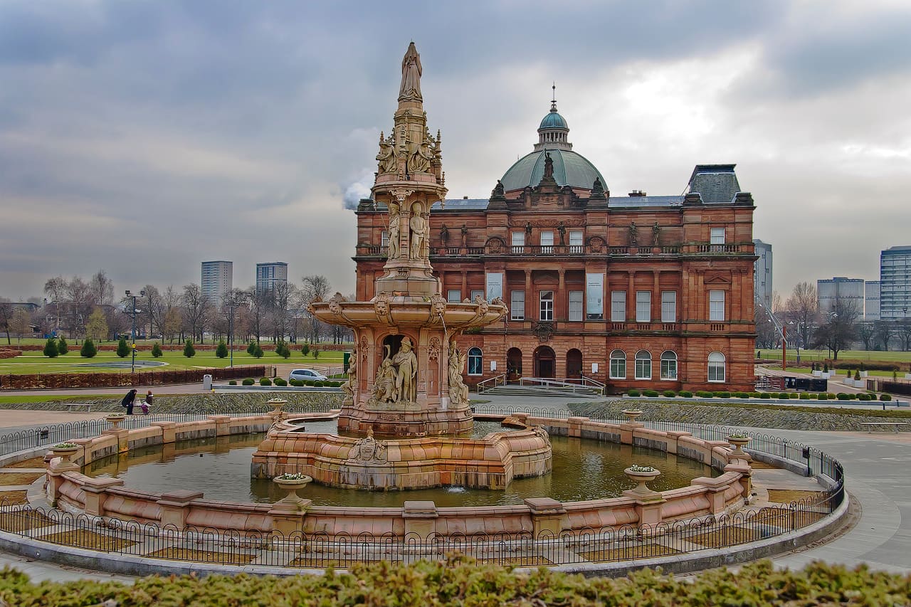
While you are here
Things to see in Glasgow Green & the East End
A few of the sights in the area. The Things to do page lists them all, with directions and official links.
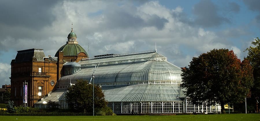
People's Palace and Winter Gardens
Museo e serra aperti nel 1898; secondo Glasgow Life sono chiusi per lavori di ristrutturazione.
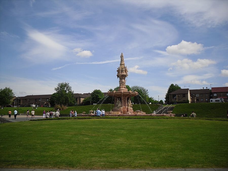
Doulton Fountain
Fontana in terracotta realizzata da Royal Doulton per l'esposizione del 1888 e trasferita al Green nel 1890.
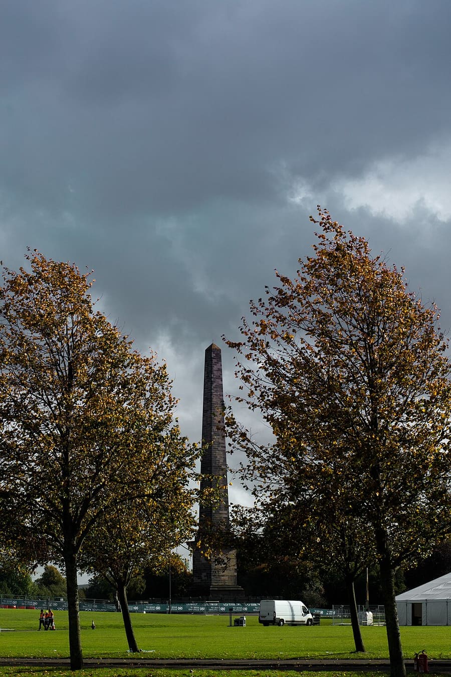
Nelson Monument
Obelisco a Glasgow Green completato nel 1807, ritenuto il primo portato a termine nel Regno Unito in onore di Nelson.
Glasgow
More areas to explore
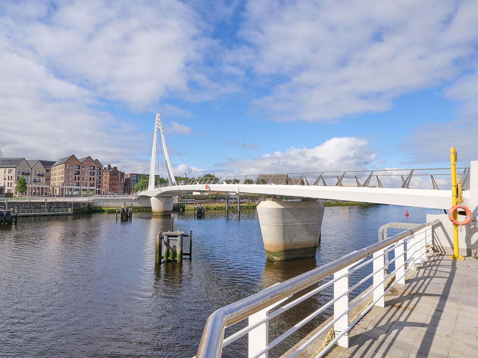
Partick & Hyndland
I pub e i ristoranti di Dumbarton Road, la passerella di Govan e le strade più tranquille di Hyndland e Dowanhill
Apri la mini guida →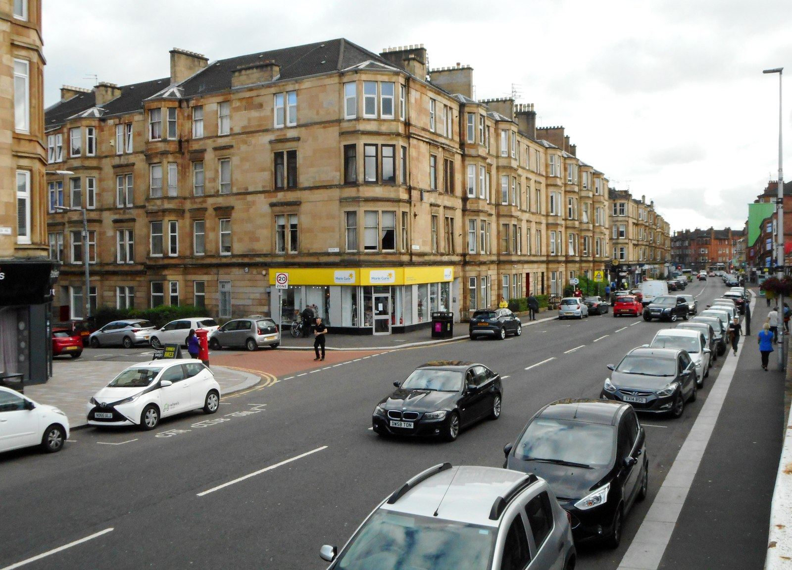
Shawlands & Langside
I caffè e i ristoranti indipendenti del Southside, un quartiere campo di battaglia e uno stadio di cricket
Apri la mini guida →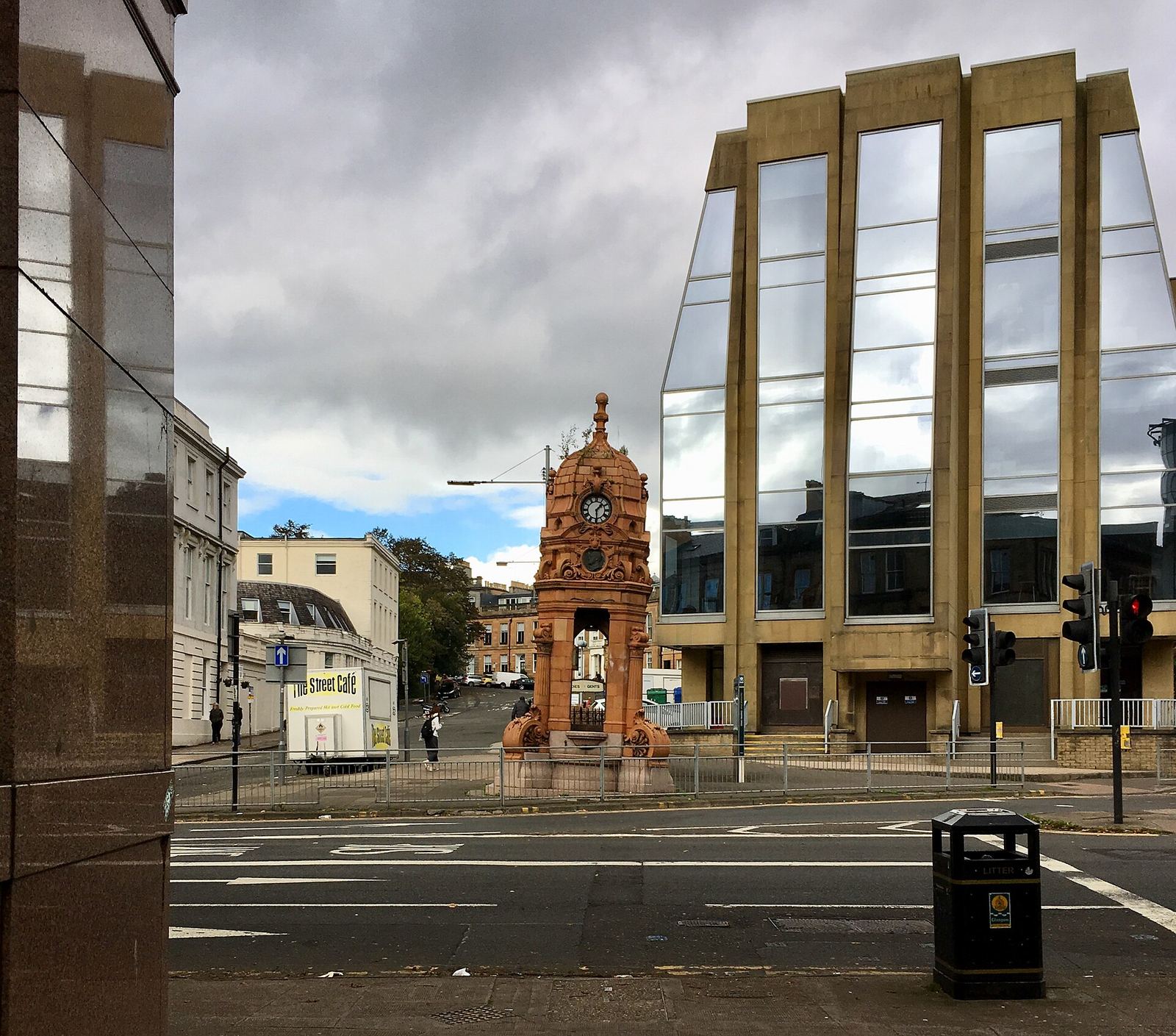
Charing Cross & Garnethill
Dove il centro città incontra il West End: Sauchiehall Street, Garnethill e una sinagoga vittoriana
Apri la mini guida →Crediti fotografici
- Glasgow Green: DaHuzyBru, CC BY-SA 4.0, source
- Glasgow Green & the East End (area photo): dun_deagh, CC BY-SA 2.0, source
- People's Palace and Winter Gardens: Emmi Hakka, CC BY-SA 4.0, source
- Doulton Fountain: Stevie Spiers, CC BY-SA 2.0, source
- Nelson Monument: Emmi Hakka, CC BY-SA 4.0, source
- Partick & Hyndland: James Petts, CC BY-SA 4.0, source
- Shawlands & Langside: Richard Sutcliffe, CC BY-SA 2.0, source
- Charing Cross & Garnethill: Sonictiller, CC BY-SA 4.0, source
- West End & Kelvingrove: Suicasmo, CC BY-SA 4.0, source
- Merchant City & City Centre: Michael D Beckwith, CC0, source
- Finnieston, Clydeside & the Riverside: Rosser1954, CC BY-SA 4.0, source
- The Southside: Gordon Brown, CC BY-SA 2.0, source
- Cathedral Precinct, Necropolis & Dennistoun: 瑞丽江的河水, CC BY-SA 4.0, source
Photos from Wikimedia Commons, used under the licences shown. All photo credits
Continua a esplorare Glasgow