 English (UK)
 English (US)
 Français
 Deutsch
 Español
 Italiano
 Nederlands
 简体中文
Una mini guida a
The Southside: come arrivare
Fermate, stazioni e come raggiungere The Southside
Fermate e stazioni
Come arrivare a The Southside
Scegliere la fermata più vicina alla destinazione.
| Fermata o stazione | Servizi | Adatto a |
|---|---|---|
| Shields Road | Glasgow Subway | Accanto allo Scotland Street School Museum, secondo SPT |
| Bridge Street | Glasgow Subway | La SPT indica come vicino il Citizens Theatre |
| Ibrox | Glasgow Subway | SPT indica Bellahouston Park come località vicina |
Within walking range
Stations near The Southside
Stations and stops mapped in OpenStreetMap within 2.5 km of the centre of The Southside, nearest first. Distances are straight lines; walking times assume 5 km/h and are a minimum.
| Station or stop | Tipo | Distanza | A piedi |
|---|---|---|---|
| Crossmyloof | Stazione | 300 m | about 4 min |
| Queens Park | Stazione | 900 m | about 10 min |
| Pollokshaws East | Stazione | 1.0 km | about 12 min |
| Langside | Stazione | 1.4 km | about 16 min |
| Pollokshaws West | Stazione | 1.7 km | about 20 min |
| Dumbreck | Stazione | 1.9 km | about 22 min |
Station data: © OpenStreetMap contributors (ODbL), read 25 October 2026. Check step-free access with the operator before you travel.
Walking from nearby areas
- Shawlands & Langside: 300 m from The Southside, about 4 min on foot
- Finnieston, Clydeside & the Riverside: 3.4 km from The Southside, about 41 min on foot
- Merchant City & City Centre: 3.5 km from The Southside, about 42 min on foot
- Charing Cross & Garnethill: 3.7 km from The Southside, about 45 min on foot
Come raggiungere Glasgow
Informazioni ufficiali sui trasporti
Glasgow ha due stazioni ferroviarie principali, una stazione degli autobus in centro e un aeroporto a ovest della città. ScotRail, Glasgow Airport, Citylink e Glasgow City Council bloccano le richieste automatiche, quindi questa pagina cita solo operatori e fonti che è stato possibile consultare; per orari, tariffe e disservizi verificare i rispettivi siti.
- Visit Glasgow → — il sito ufficiale per i visitatori della città
- Visit Glasgow: getting here → — treno, aereo, strada e mare
- Visit Glasgow: getting around → — Subway, autobus, bici e taxi
- Visit Glasgow: accessibility → — come pianificare una visita accessibile
- SPT: Glasgow Subway → — mappe, stazioni e biglietti
- SPT: Subway timetables → — orari di servizio e frequenza
- First Bus: Greater Glasgow → — autobus urbani e navetta per l'aeroporto
- Avanti West Coast → — treni da Londra e dal nord ovest
- Caledonian Sleeper → — treni notturni da Londra
- ScotRail → — la maggior parte dei servizi scozzesi (il sito blocca i controlli automatici)
- Glasgow Airport → — voli e collegamenti (il sito blocca i controlli automatici)
- National Rail Enquiries → — orari e tariffe dei treni
- Glasgow Life → — musei, biblioteche e sedi culturali
Orari, tariffe e disservizi cambiano: per informazioni in tempo reale consultare le pagine dei gestori qui sopra.
Pianifichi qui il tragitto
Inserisca il punto di partenza e Google Maps mostrerà i percorsi per The Southside. Il trasporto pubblico è preselezionato; si può cambiare sulla mappa. Per eventuali disagi in tempo reale, controllare i siti degli operatori.
While you are here
Things to see in The Southside
A few of the sights in the area. The Things to do page lists them all, with directions and official links.
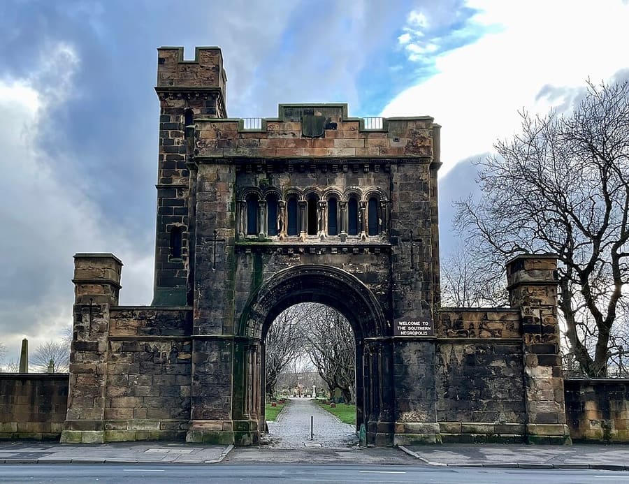
Southern Necropolis
Il cimitero di Gorbals fu aperto nel 1840 per sepolture a basso costo; vi sono sepolte oltre 250.000 persone.
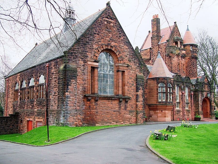
Pollokshields Burgh Hall
Edificio municipale classificato Category A ai margini di Maxwell Park, per breve tempo sede del Pollokshields Burgh Council.
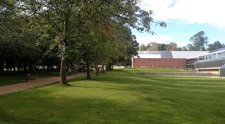
The Burrell Collection
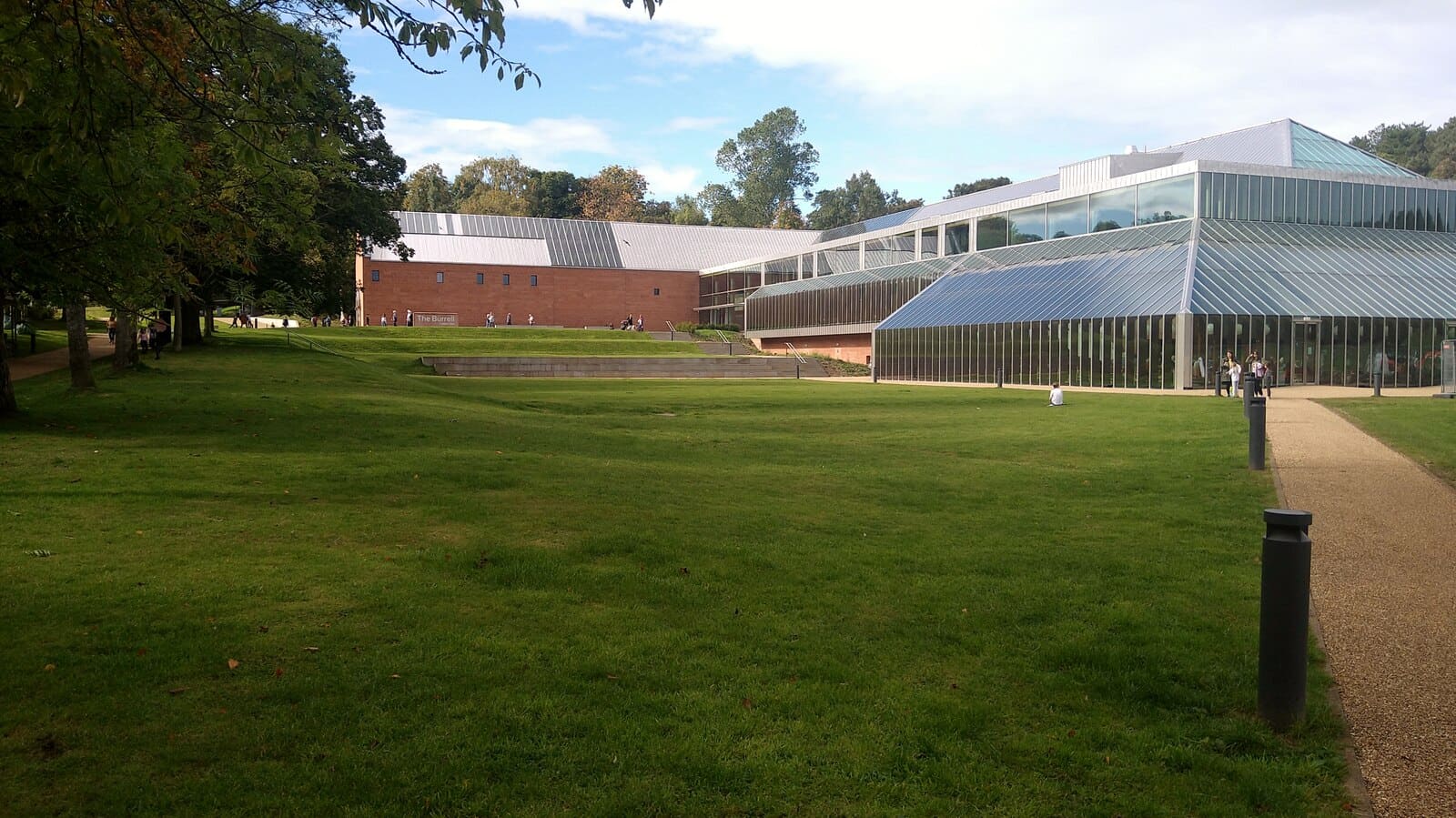
Museo della collezione d'arte di Sir William e Lady Burrell, riaperto nel 2022 e Museo dell'Anno nel 2023.
Glasgow
More areas to explore
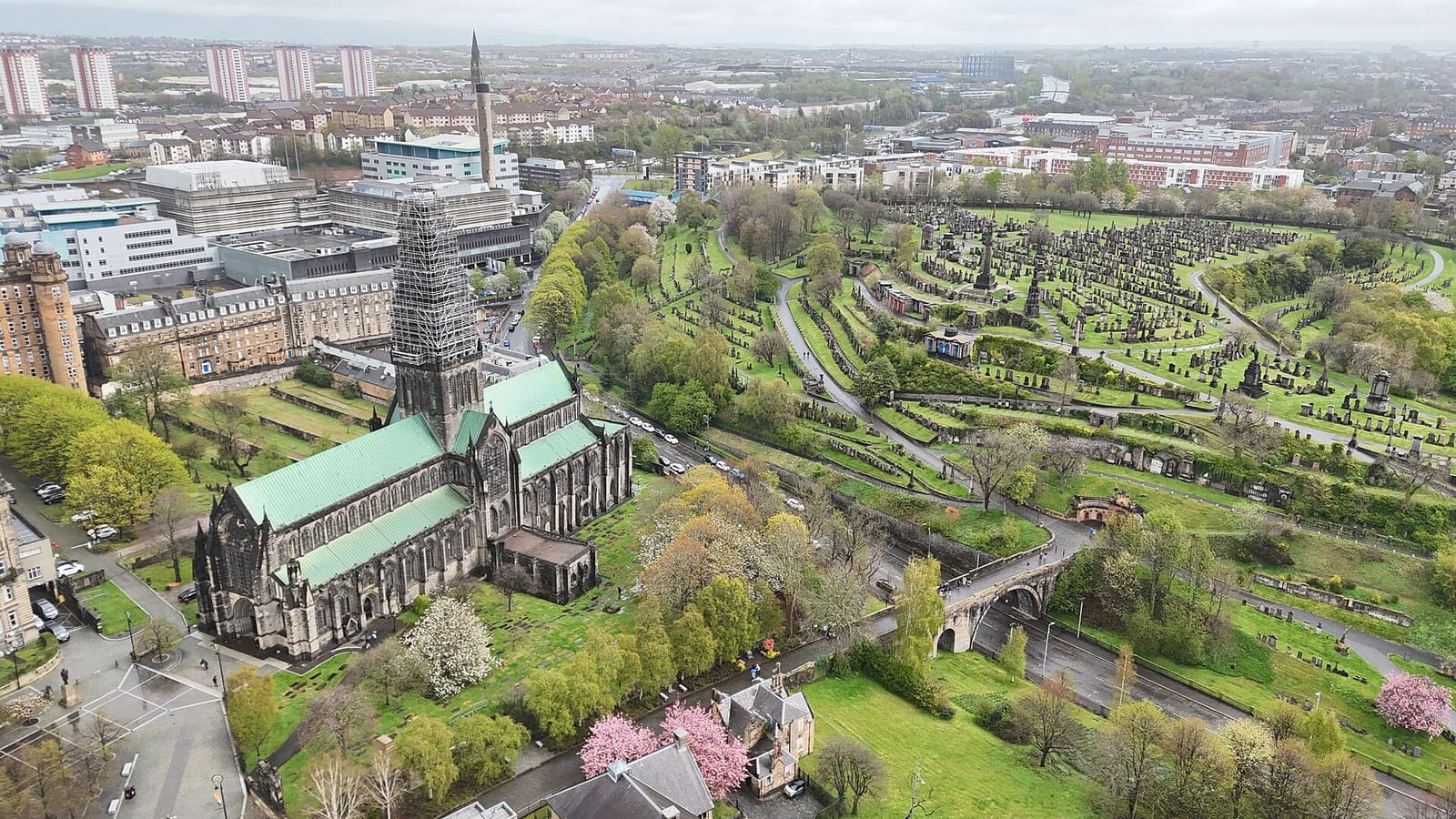
Cathedral Precinct, Necropolis & Dennistoun
La cattedrale medievale, la casa più antica della città, un cimitero vittoriano in collina e Dennistoun
Apri la mini guida →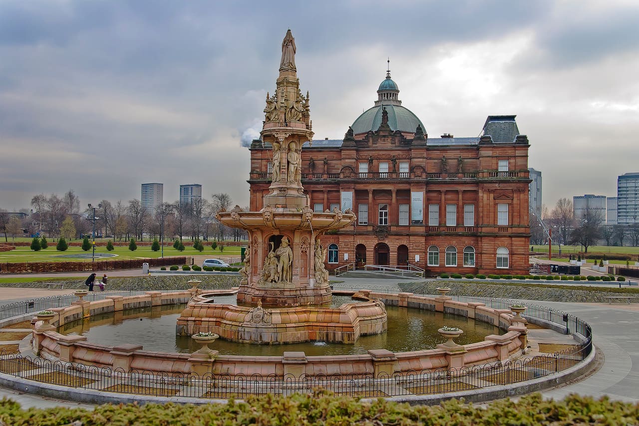
Glasgow Green & the East End
Il parco più antico della città, una fabbrica di tappeti, il Barras e Celtic Park
Apri la mini guida →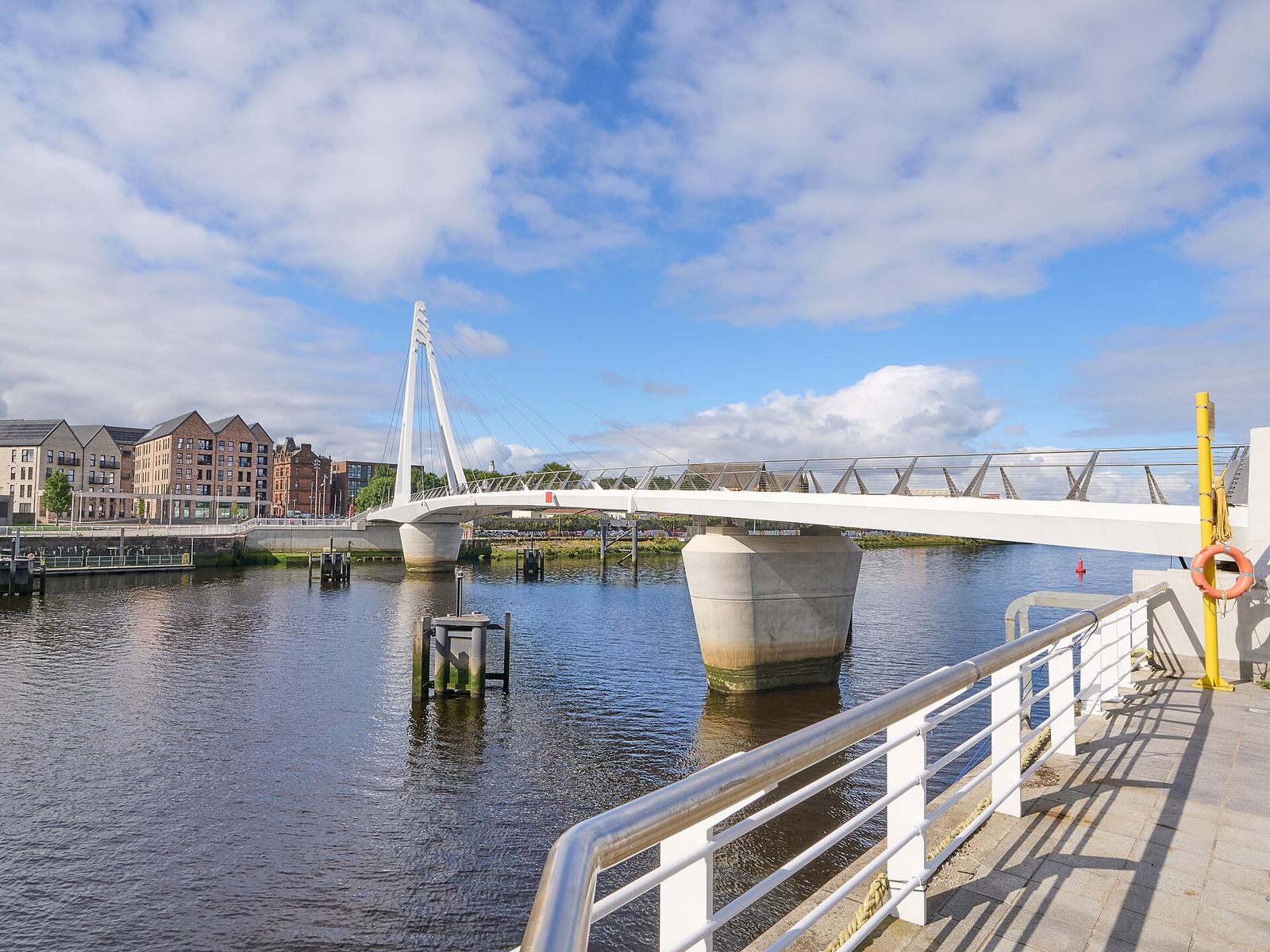
Partick & Hyndland
I pub e i ristoranti di Dumbarton Road, la passerella di Govan e le strade più tranquille di Hyndland e Dowanhill
Apri la mini guida →Crediti fotografici
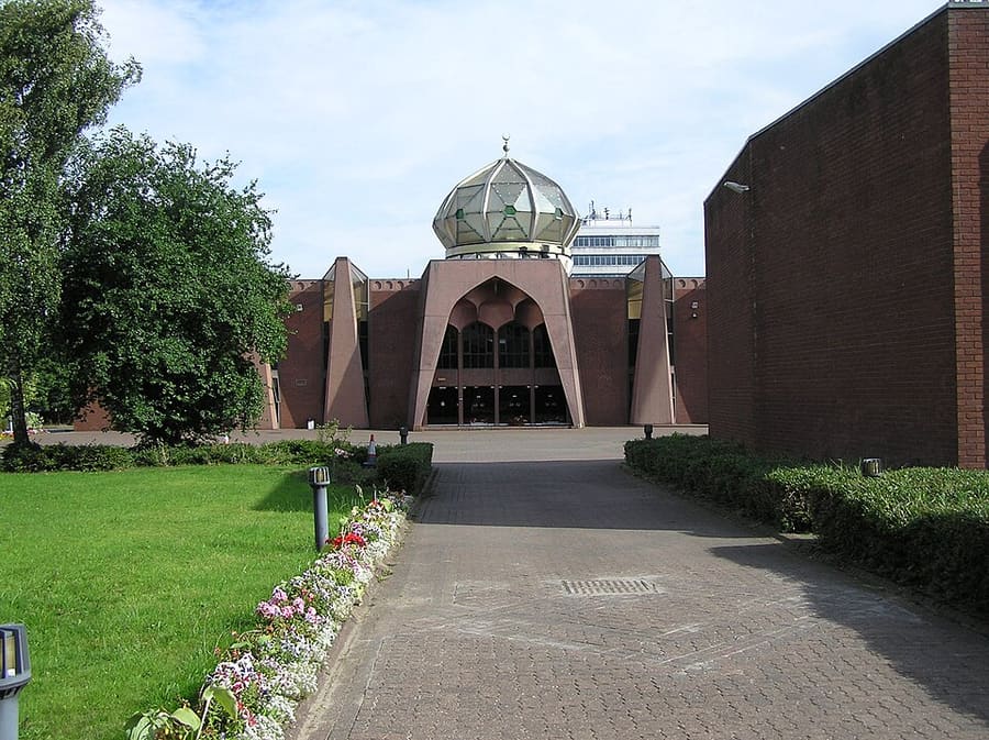
- Glasgow Central Mosque: No machine-readable author provided. Finlay McWalter assumed (based on copyright claims)., CC BY-SA 3.0, source
- The Southside (area photo): Gordon Brown, CC BY-SA 2.0, source
- Southern Necropolis: AlistairMcMillan, CC BY-SA 4.0, source
- Pollokshields Burgh Hall: The original uploader was Botany Bay at English Wikipedia., CC BY 2.5, source
- The Burrell Collection: Gordon Brown, CC BY-SA 2.0, source
- Cathedral Precinct, Necropolis & Dennistoun: 瑞丽江的河水, CC BY-SA 4.0, source
- Glasgow Green & the East End: dun_deagh, CC BY-SA 2.0, source
- Partick & Hyndland: James Petts, CC BY-SA 4.0, source
- Shawlands & Langside: Richard Sutcliffe, CC BY-SA 2.0, source
- Charing Cross & Garnethill: Sonictiller, CC BY-SA 4.0, source
- West End & Kelvingrove: Suicasmo, CC BY-SA 4.0, source
- Merchant City & City Centre: Michael D Beckwith, CC0, source
- Finnieston, Clydeside & the Riverside: Rosser1954, CC BY-SA 4.0, source
Photos from Wikimedia Commons, used under the licences shown. All photo credits
Continua a esplorare Glasgow