 English (UK)
 English (US)
 Français
 Deutsch
 Español
 Italiano
 Nederlands
 简体中文
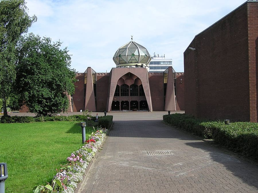
Een minigids voor
The Southside: hoe komt u er
Haltes, stations en hoe u bij The Southside komt
Haltes en stations
Hoe komt u bij The Southside
Kies de halte die het dichtst bij uw bestemming ligt.
| Halte of station | Voorzieningen | Geschikt voor |
|---|---|---|
| Shields Road | Glasgow Subway | Naast het Scotland Street School Museum, volgens SPT |
| Bridge Street | Glasgow Subway | SPT noemt het Citizens Theatre in de buurt |
| Ibrox | Glasgow Subway | SPT vermeldt Bellahouston Park als nabijgelegen |
Within walking range
Stations near The Southside
Stations and stops mapped in OpenStreetMap within 2.5 km of the centre of The Southside, nearest first. Distances are straight lines; walking times assume 5 km/h and are a minimum.
| Station or stop | Type | Afstand | Te voet |
|---|---|---|---|
| Crossmyloof | Station | 300 m | about 4 min |
| Queens Park | Station | 900 m | about 10 min |
| Pollokshaws East | Station | 1.0 km | about 12 min |
| Langside | Station | 1.4 km | about 16 min |
| Pollokshaws West | Station | 1.7 km | about 20 min |
| Dumbreck | Station | 1.9 km | about 22 min |
Station data: © OpenStreetMap contributors (ODbL), read 25 October 2026. Check step-free access with the operator before you travel.
Walking from nearby areas
- Shawlands & Langside: 300 m from The Southside, about 4 min on foot
- Finnieston, Clydeside & the Riverside: 3.4 km from The Southside, about 41 min on foot
- Merchant City & City Centre: 3.5 km from The Southside, about 42 min on foot
- Charing Cross & Garnethill: 3.7 km from The Southside, about 45 min on foot
Glasgow bereiken
Officiële reisinformatie
Glasgow heeft twee hoofdstations voor de trein, een busstation in het centrum en een luchthaven ten westen van de stad. ScotRail, Glasgow Airport, Citylink en Glasgow City Council blokkeren geautomatiseerde verzoeken, dus deze pagina citeert alleen vervoerders en bronnen die gelezen konden worden; controleer hun eigen websites voor tijden, tarieven en verstoringen.
- Visit Glasgow → — de officiële bezoekerssite van de stad
- Visit Glasgow: getting here → — trein, vliegtuig, auto en schip
- Visit Glasgow: getting around → — Subway, bussen, fietsen en taxi's
- Visit Glasgow: accessibility → — een toegankelijk bezoek plannen
- SPT: Glasgow Subway → — kaarten, stations en tickets
- SPT: Subway timetables → — rijtijden en frequentie
- First Bus: Greater Glasgow → — stadsbussen en de luchthavenexpress
- Avanti West Coast → — treinen vanuit Londen en het noordwesten
- Caledonian Sleeper → — nachttreinen vanuit Londen
- ScotRail → — de meeste Schotse diensten (de site blokkeert geautomatiseerde controles)
- Glasgow Airport → — vluchten en verder vervoer (de site blokkeert geautomatiseerde controles)
- National Rail Enquiries → — treintijden en tarieven
- Glasgow Life → — musea, bibliotheken en locaties
Tijden, tarieven en storingen veranderen: raadpleeg de bovenstaande pagina's van de vervoerders voor actuele informatie.
Plan hier uw reis
Voer uw vertrekpunt in en Google Maps toont routes naar The Southside. Openbaar vervoer is geselecteerd; wijzig dit op de kaart. Controleer de websites van de vervoerders voor actuele verstoringen.
While you are here
Things to see in The Southside
A few of the sights in the area. The Things to do page lists them all, with directions and official links.
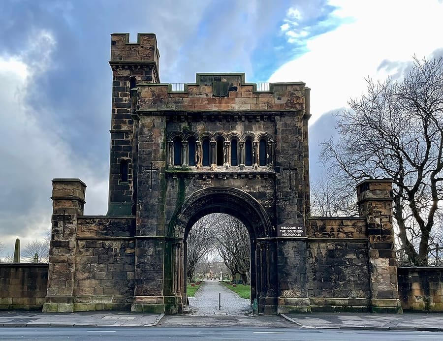
Southern Necropolis
Gorbals cemetery werd in 1840 geopend voor betaalbare begrafenissen; er liggen meer dan 250.000 mensen begraven.
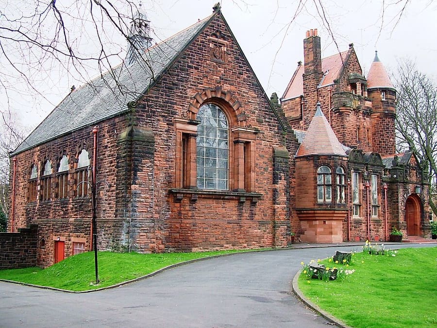
Pollokshields Burgh Hall
Gemeentelijk gebouw (Category A) aan de rand van Maxwell Park, kort het hoofdkantoor van de Pollokshields Burgh Council.
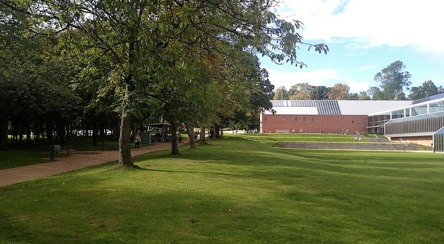
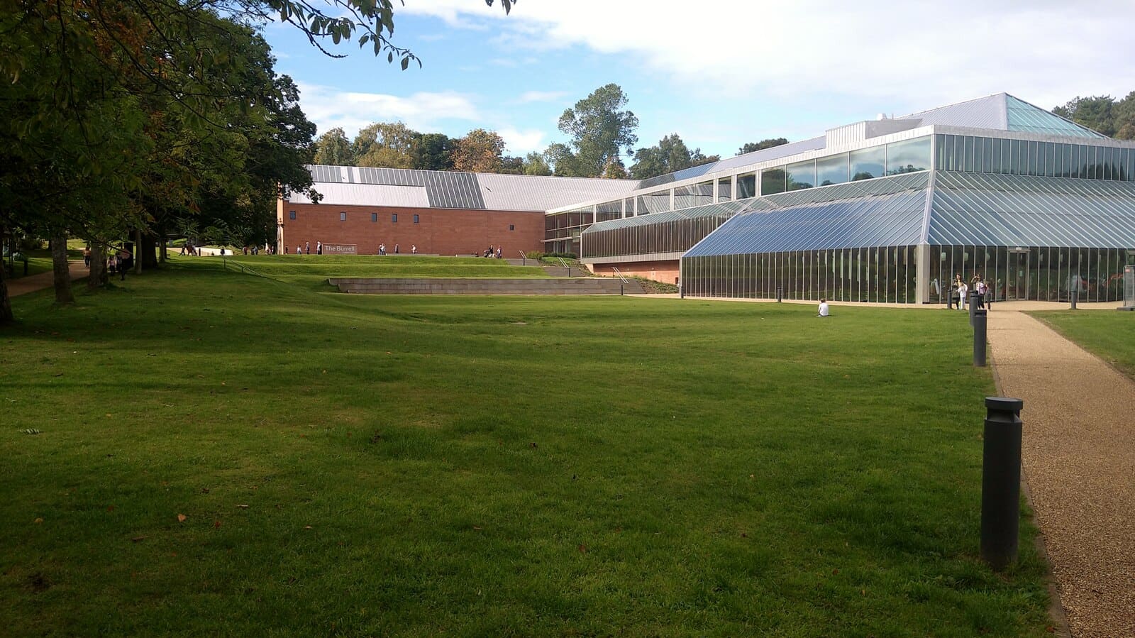
The Burrell Collection
Museum voor de kunstcollectie van Sir William en Lady Burrell, heropend in 2022 en Museum van het Jaar in 2023.
Glasgow
More areas to explore
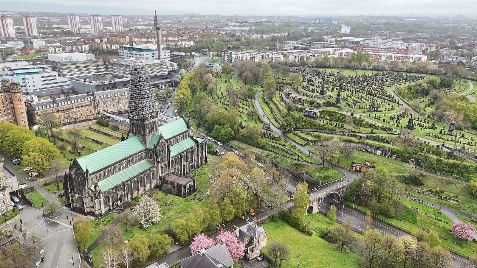
Cathedral Precinct, Necropolis & Dennistoun
De middeleeuwse kathedraal, het oudste huis van de stad, een Victoriaanse begraafplaats op een heuvel en Dennistoun
Open de minigids →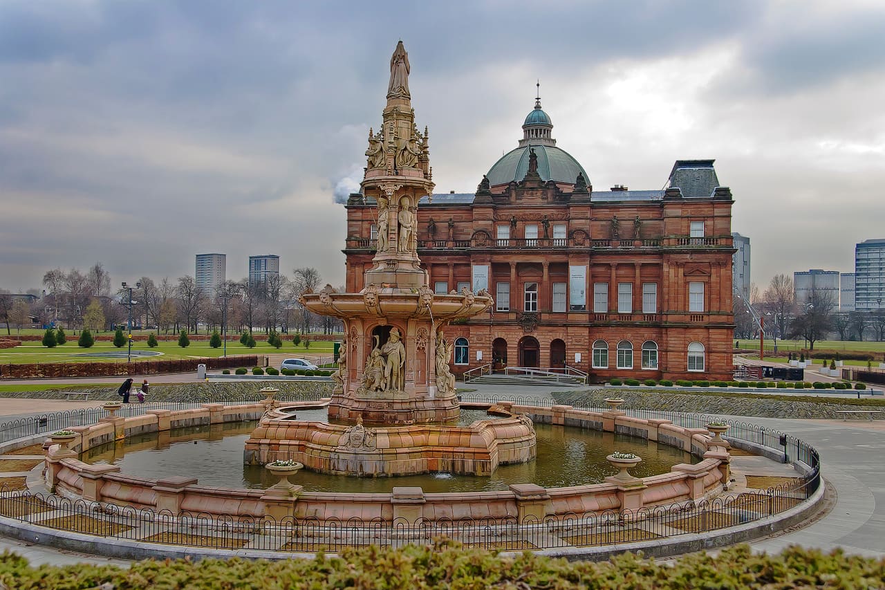
Glasgow Green & the East End
Het oudste park van de stad, een tapijtfabriek, de Barras en Celtic Park
Open de minigids →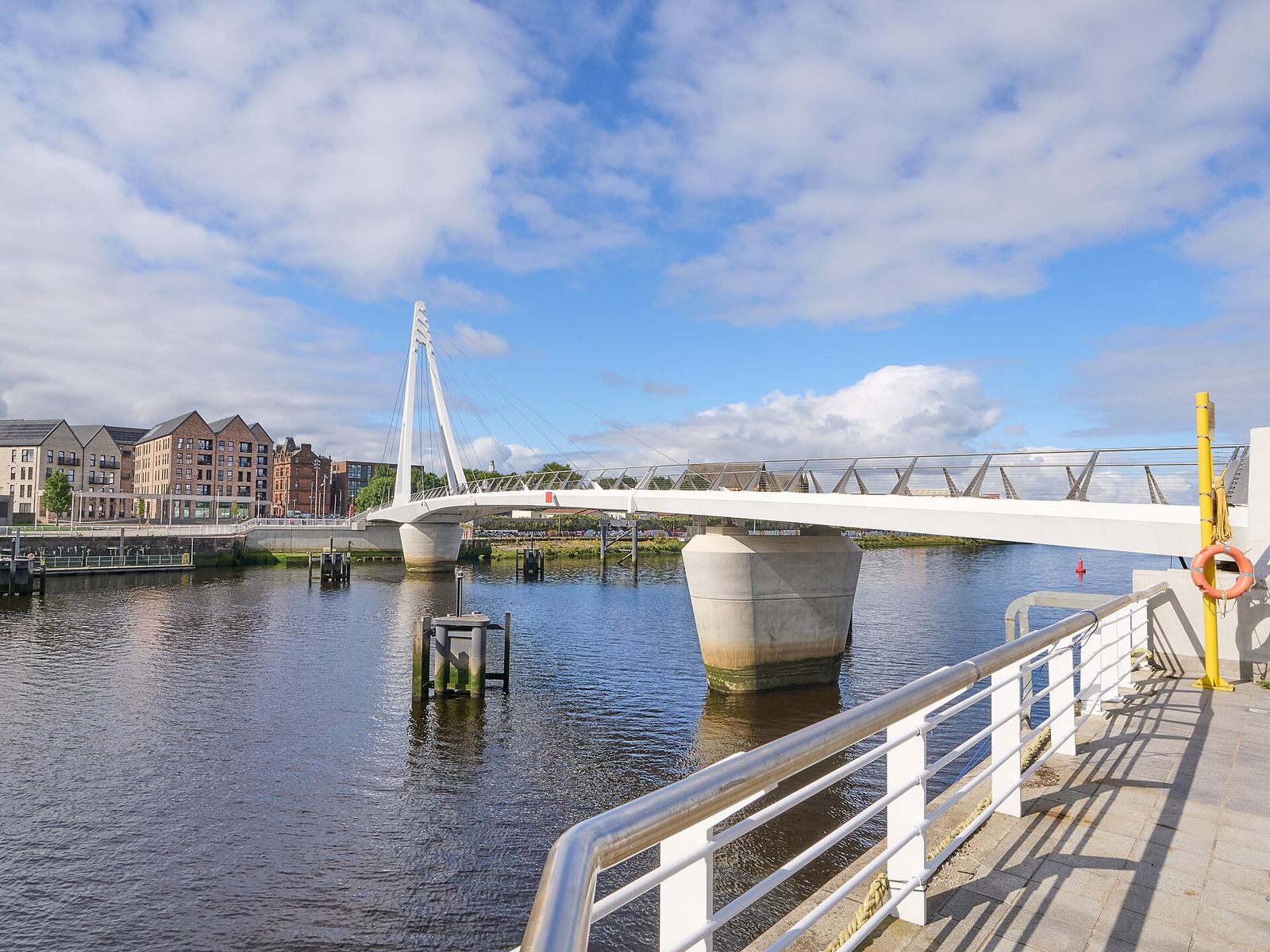
Partick & Hyndland
De pubs en restaurants van Dumbarton Road, de voetgangersbrug van Govan en de rustigere straten van Hyndland en Dowanhill
Open de minigids →Fotoverantwoording
- Glasgow Central Mosque: No machine-readable author provided. Finlay McWalter assumed (based on copyright claims)., CC BY-SA 3.0, source
- The Southside (area photo): Gordon Brown, CC BY-SA 2.0, source
- Southern Necropolis: AlistairMcMillan, CC BY-SA 4.0, source
- Pollokshields Burgh Hall: The original uploader was Botany Bay at English Wikipedia., CC BY 2.5, source
- The Burrell Collection: Gordon Brown, CC BY-SA 2.0, source
- Cathedral Precinct, Necropolis & Dennistoun: 瑞丽江的河水, CC BY-SA 4.0, source
- Glasgow Green & the East End: dun_deagh, CC BY-SA 2.0, source
- Partick & Hyndland: James Petts, CC BY-SA 4.0, source
- Shawlands & Langside: Richard Sutcliffe, CC BY-SA 2.0, source
- Charing Cross & Garnethill: Sonictiller, CC BY-SA 4.0, source
- West End & Kelvingrove: Suicasmo, CC BY-SA 4.0, source
- Merchant City & City Centre: Michael D Beckwith, CC0, source
- Finnieston, Clydeside & the Riverside: Rosser1954, CC BY-SA 4.0, source
Photos from Wikimedia Commons, used under the licences shown. All photo credits
Blijf Glasgow ontdekken