 English (UK)
 English (US)
 Français
 Deutsch
 Español
 Italiano
 Nederlands
 简体中文
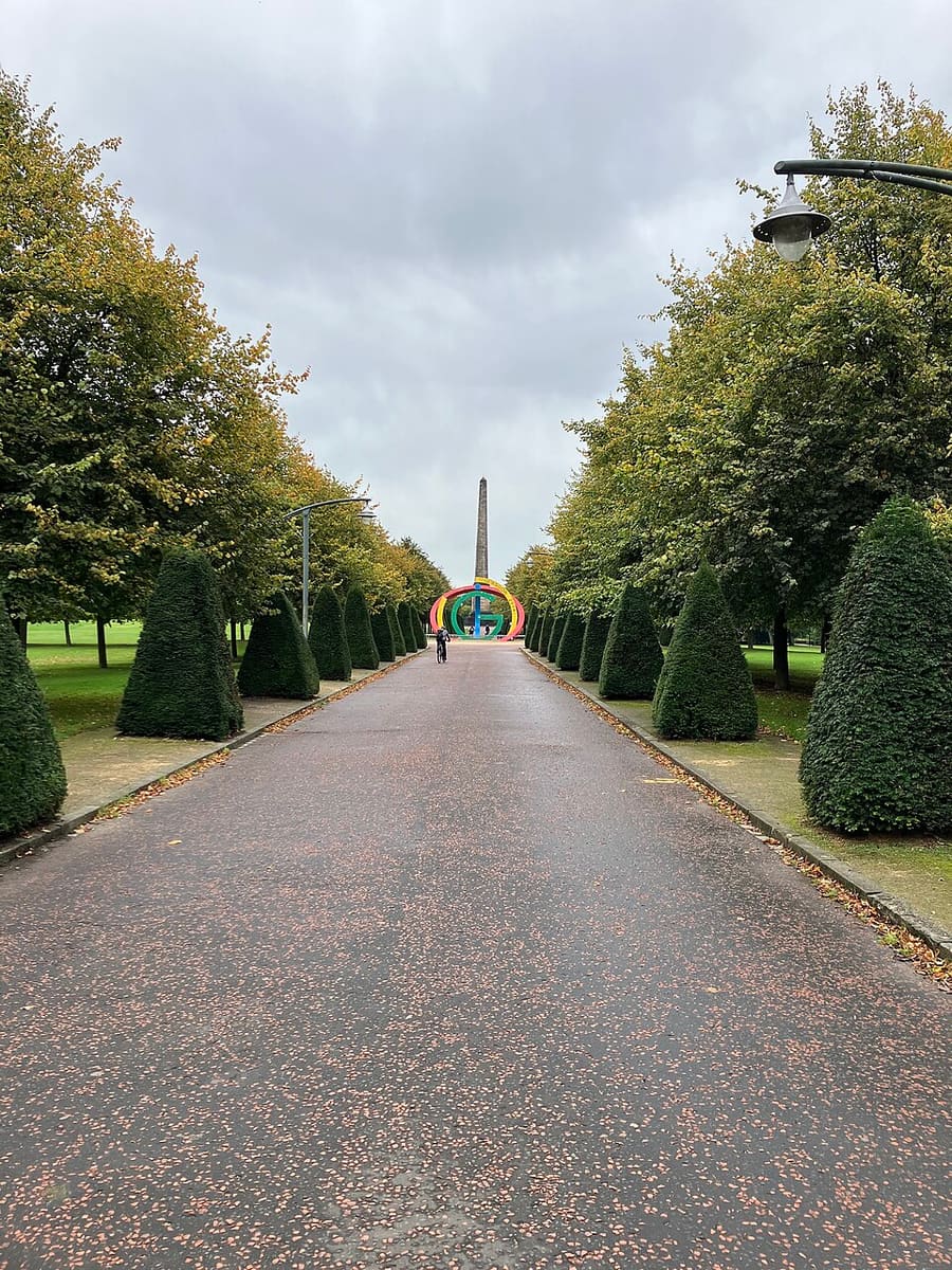
Een minigids voor
Glasgow Green & the East End: hoe komt u er
Haltes, stations en hoe u bij Glasgow Green & the East End komt
Haltes en stations
Hoe komt u bij Glasgow Green & the East End
Kies de halte die het dichtst bij uw bestemming ligt.
| Halte of station | Voorzieningen | Geschikt voor |
|---|---|---|
| Glasgow Central | Trein | Hoofdstation voor het zuiden en westen, volgens Visit Glasgow; kijk bij ScotRail voor treinen oostwaarts naar Celtic Park |
| St Enoch | Glasgow Subway | Dichtstbijzijnde Subway-halte aan de stadscentrumzijde van de Green; SPT noemt Central Station en Argyle Street in de buurt |
Within walking range
Stations near Glasgow Green & the East End
Stations and stops mapped in OpenStreetMap within 2.5 km of the centre of Glasgow Green & the East End, nearest first. Distances are straight lines; walking times assume 5 km/h and are a minimum.
| Station or stop | Type | Afstand | Te voet |
|---|---|---|---|
| Bridgeton | Station | 200 m | about 2 min |
| Bellgrove | Station | 700 m | about 9 min |
| High Street | Station | 1.4 km | about 17 min |
| Alexandra Parade | Station | 1.8 km | about 21 min |
| Argyle Street | Station | 1.8 km | about 22 min |
| St Enoch (Subway) | Metro | 2.1 km | about 25 min |
Station data: © OpenStreetMap contributors (ODbL), read 25 October 2026. Check step-free access with the operator before you travel.
Walking from nearby areas
- Cathedral Precinct, Necropolis & Dennistoun: 1.4 km from Glasgow Green & the East End, about 17 min on foot
- Merchant City & City Centre: 2.1 km from Glasgow Green & the East End, about 25 min on foot
- Charing Cross & Garnethill: 3.3 km from Glasgow Green & the East End, about 40 min on foot
- The Southside: 3.9 km from Glasgow Green & the East End, about 47 min on foot
Glasgow bereiken
Officiële reisinformatie
Glasgow heeft twee hoofdstations voor de trein, een busstation in het centrum en een luchthaven ten westen van de stad. ScotRail, Glasgow Airport, Citylink en Glasgow City Council blokkeren geautomatiseerde verzoeken, dus deze pagina citeert alleen vervoerders en bronnen die gelezen konden worden; controleer hun eigen websites voor tijden, tarieven en verstoringen.
- Visit Glasgow → — de officiële bezoekerssite van de stad
- Visit Glasgow: getting here → — trein, vliegtuig, auto en schip
- Visit Glasgow: getting around → — Subway, bussen, fietsen en taxi's
- Visit Glasgow: accessibility → — een toegankelijk bezoek plannen
- SPT: Glasgow Subway → — kaarten, stations en tickets
- SPT: Subway timetables → — rijtijden en frequentie
- First Bus: Greater Glasgow → — stadsbussen en de luchthavenexpress
- Avanti West Coast → — treinen vanuit Londen en het noordwesten
- Caledonian Sleeper → — nachttreinen vanuit Londen
- ScotRail → — de meeste Schotse diensten (de site blokkeert geautomatiseerde controles)
- Glasgow Airport → — vluchten en verder vervoer (de site blokkeert geautomatiseerde controles)
- National Rail Enquiries → — treintijden en tarieven
- Glasgow Life → — musea, bibliotheken en locaties
Tijden, tarieven en storingen veranderen: raadpleeg de bovenstaande pagina's van de vervoerders voor actuele informatie.
Plan hier uw reis
Voer uw vertrekpunt in en Google Maps toont routes naar Glasgow Green & the East End. Openbaar vervoer is geselecteerd; wijzig dit op de kaart. Controleer de websites van de vervoerders voor actuele verstoringen.
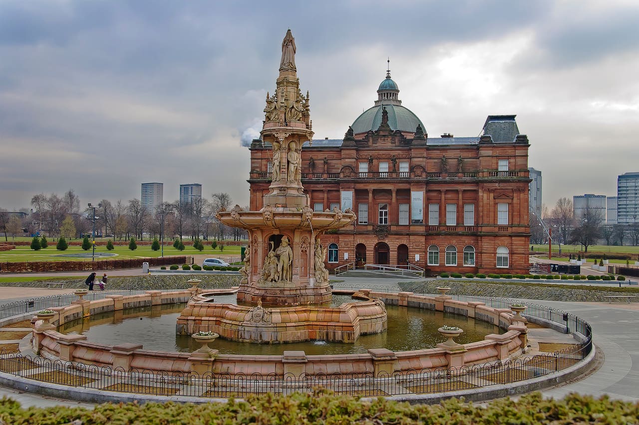
While you are here
Things to see in Glasgow Green & the East End
A few of the sights in the area. The Things to do page lists them all, with directions and official links.
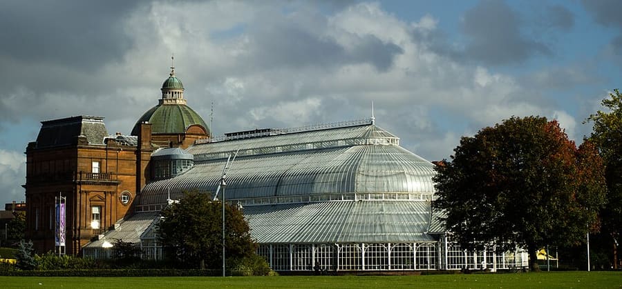
People's Palace and Winter Gardens
Museum en kas die in 1898 openden; volgens Glasgow Life gesloten wegens renovatie.
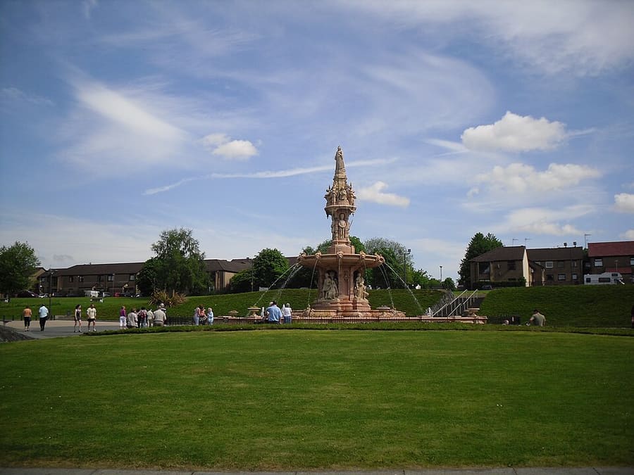
Doulton Fountain
Terracotta fontein, door Royal Doulton gebouwd voor de tentoonstelling van 1888 en in 1890 naar de Green verplaatst.
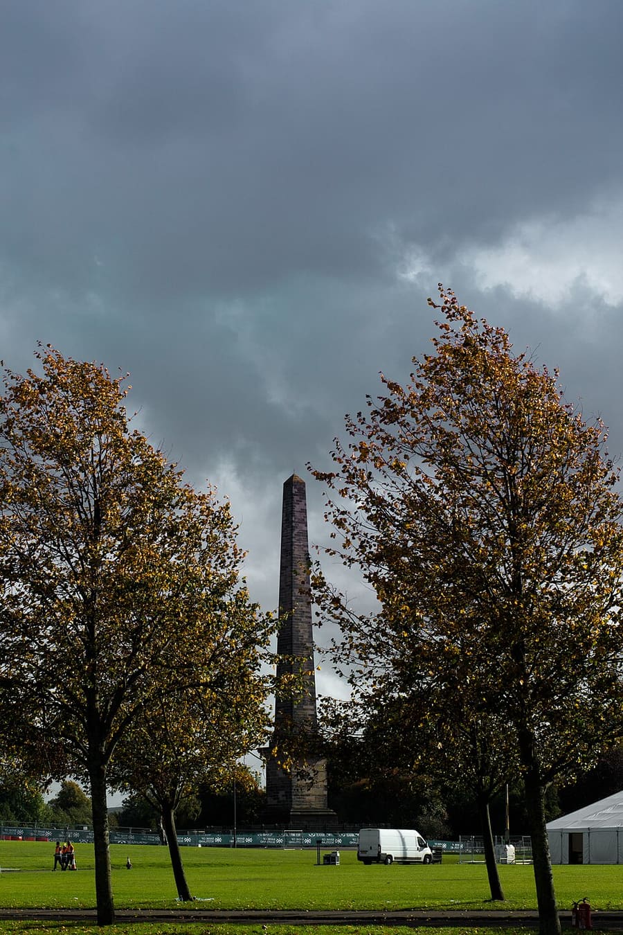
Nelson Monument
Obelisk op Glasgow Green, voltooid in 1807 en naar verluidt de eerste in het Verenigd Koninkrijk die ter ere van Nelson werd voltooid.
Glasgow
More areas to explore
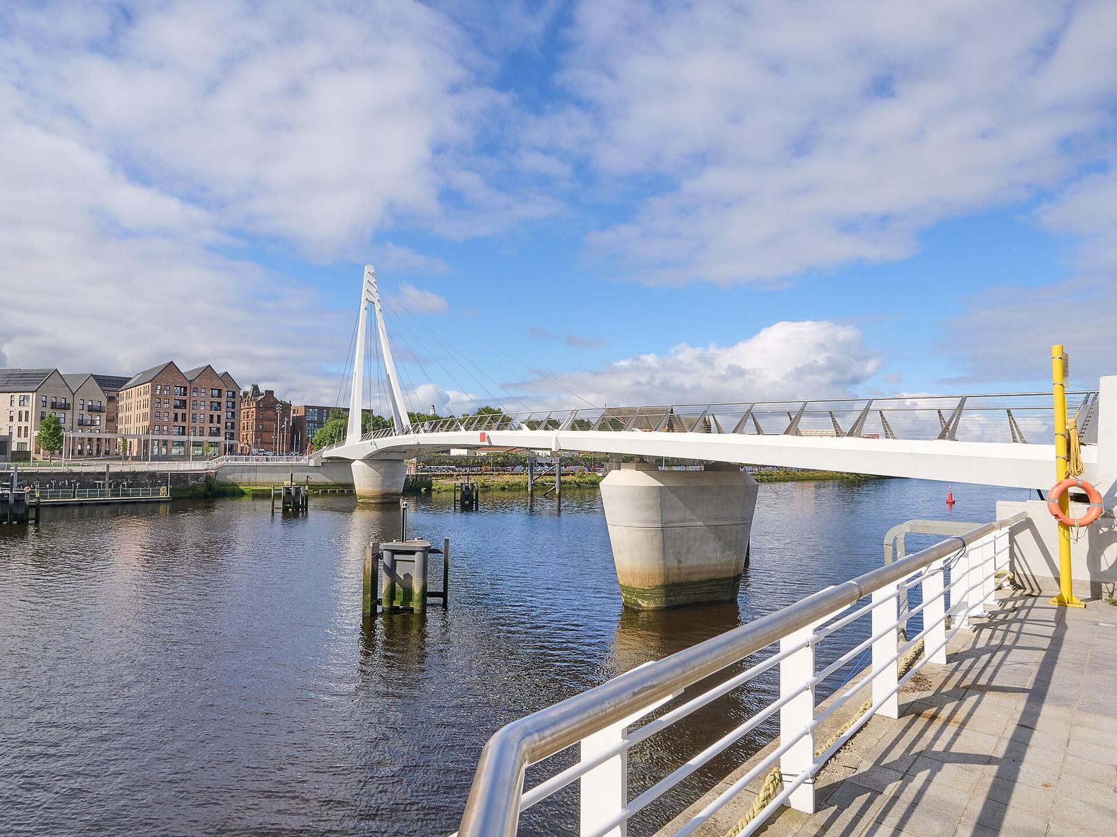
Partick & Hyndland
De pubs en restaurants van Dumbarton Road, de voetgangersbrug van Govan en de rustigere straten van Hyndland en Dowanhill
Open de minigids →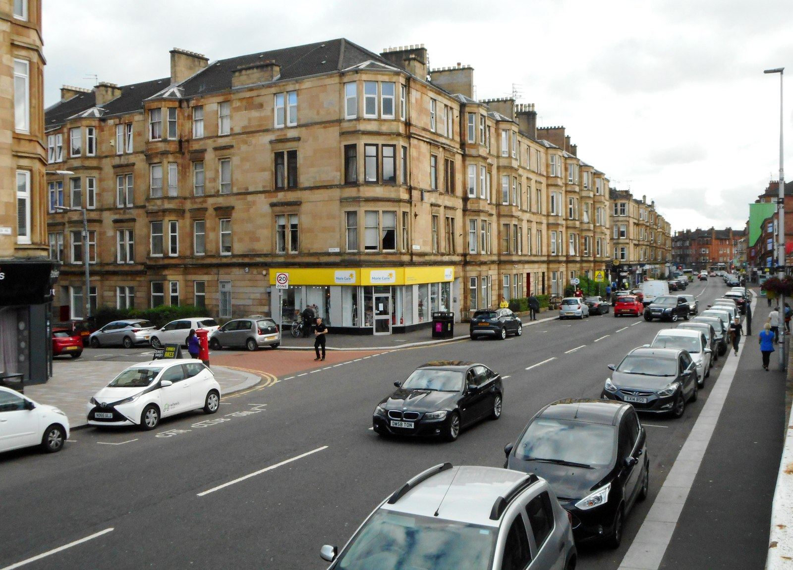
Shawlands & Langside
De onafhankelijke cafés en restaurants van Southside, een slagveldwijk en een cricketveld
Open de minigids →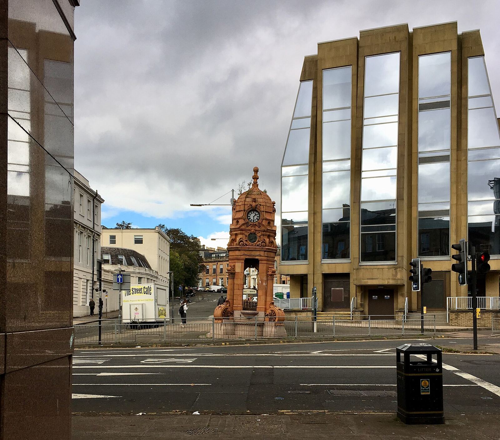
Charing Cross & Garnethill
Waar het stadscentrum overgaat in het West End: Sauchiehall Street, Garnethill en een Victoriaanse synagoge
Open de minigids →Fotoverantwoording
- Glasgow Green: DaHuzyBru, CC BY-SA 4.0, source
- Glasgow Green & the East End (area photo): dun_deagh, CC BY-SA 2.0, source
- People's Palace and Winter Gardens: Emmi Hakka, CC BY-SA 4.0, source
- Doulton Fountain: Stevie Spiers, CC BY-SA 2.0, source
- Nelson Monument: Emmi Hakka, CC BY-SA 4.0, source
- Partick & Hyndland: James Petts, CC BY-SA 4.0, source
- Shawlands & Langside: Richard Sutcliffe, CC BY-SA 2.0, source
- Charing Cross & Garnethill: Sonictiller, CC BY-SA 4.0, source
- West End & Kelvingrove: Suicasmo, CC BY-SA 4.0, source
- Merchant City & City Centre: Michael D Beckwith, CC0, source
- Finnieston, Clydeside & the Riverside: Rosser1954, CC BY-SA 4.0, source
- The Southside: Gordon Brown, CC BY-SA 2.0, source
- Cathedral Precinct, Necropolis & Dennistoun: 瑞丽江的河水, CC BY-SA 4.0, source
Photos from Wikimedia Commons, used under the licences shown. All photo credits
Blijf Glasgow ontdekken