 English (UK)
 English (US)
 Français
 Deutsch
 Español
 Italiano
 Nederlands
 简体中文
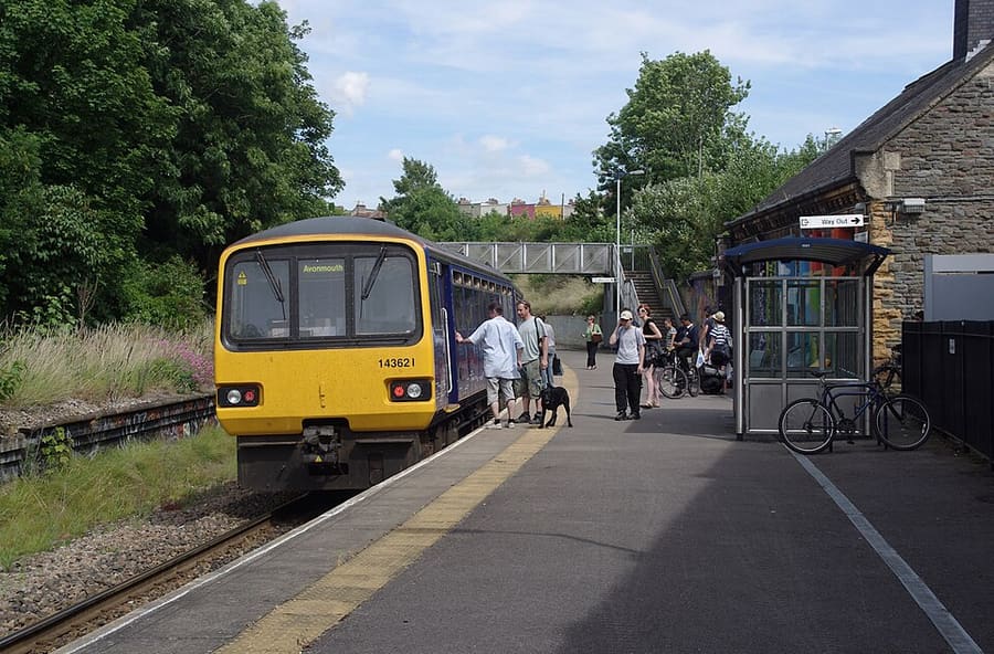
Una mini guida a
Stokes Croft, St Pauls & Montpelier: come arrivare
Fermate, stazioni e come raggiungere Stokes Croft, St Pauls & Montpelier
Fermate e stazioni
Come arrivare a Stokes Croft, St Pauls & Montpelier
Scegliere la fermata più vicina alla destinazione.
| Fermata o stazione | Servizi | Adatto a |
|---|---|---|
| Montpelier | GWR, Severn Beach Line | Stazione a banchina unica; secondo Wikipedia, per lo più un treno ogni 30 minuti in ciascuna direzione |
| Bristol Bus & Coach Station | National Express, FlixBus, megabus | In Marlborough Street, a breve distanza a piedi da Stokes Croft |
| Bristol Temple Meads | GWR, CrossCountry | Stazione principale, a un tragitto in autobus da Stokes Croft |
Within walking range
Stations near Stokes Croft, St Pauls & Montpelier
Stations and stops mapped in OpenStreetMap within 2.5 km of the centre of Stokes Croft, St Pauls & Montpelier, nearest first. Distances are straight lines; walking times assume 5 km/h and are a minimum.
| Station or stop | Tipo | Distanza | A piedi |
|---|---|---|---|
| Redland | Rail station (Great Western Railway) | 1000 m | about 12 min |
| Stapleton Road | Rail station (Great Western Railway) | 1.6 km | about 19 min |
| Clifton Down | Rail station (Great Western Railway) | 1.6 km | about 20 min |
Station data: © OpenStreetMap contributors (ODbL), read 1 November 2026. Check step-free access with the operator before you travel.
Walking from nearby areas
- Old City, King Street & Park Street: 1.3 km from Stokes Croft, St Pauls & Montpelier, about 16 min on foot
- Whiteladies Road & Redland: 1.5 km from Stokes Croft, St Pauls & Montpelier, about 18 min on foot
- Harbourside & Millennium Square: 1.6 km from Stokes Croft, St Pauls & Montpelier, about 20 min on foot
- Gloucester Road & Bishopston: 1.7 km from Stokes Croft, St Pauls & Montpelier, about 20 min on foot
Come raggiungere Bristol
Informazioni ufficiali sui trasporti
Bristol ha un aeroporto a sud-ovest della città, una stazione ferroviaria principale a Temple Meads e una stazione di autobus e pullman vicino a Broadmead. Verificare sempre con l'operatore orari, tariffe e disagi in corso.
- Visit Bristol → — il sito ufficiale per i visitatori della città
- Visit Bristol: travelling to Bristol → — treno, pullman, auto, barca e aereo
- Visit Bristol: travelling around Bristol → — autobus, traghetti, bicicletta e a piedi
- Visit Bristol: accessible travel → — accesso senza gradini e assistenza
- Great Western Railway → — treni da Londra, Bath, Cardiff e dal sud ovest
- National Rail Enquiries → — orari e tariffe dei treni
- Bristol Airport → — voli e trasporti
- Travelwest → — pianificazione di viaggi in autobus, treno, traghetto e bicicletta
- First Bus → — la maggior parte dei servizi di autobus urbani
- National Express → — autobus a lunga percorrenza
- Bristol Ferry Boats → — gite in porto e waterbus
- Bristol City Council → — parchi, musei e Clean Air Zone
Orari, tariffe e disservizi cambiano: per informazioni in tempo reale consultare le pagine dei gestori qui sopra.
Pianifichi qui il tragitto
Inserisca il punto di partenza e Google Maps mostrerà i percorsi per Stokes Croft, St Pauls & Montpelier. Il trasporto pubblico è preselezionato; si può cambiare sulla mappa. Per eventuali disagi in tempo reale, controllare i siti degli operatori.
While you are here
Things to see in Stokes Croft, St Pauls & Montpelier
A few of the sights in the area. The Things to do page lists them all, with directions and official links.
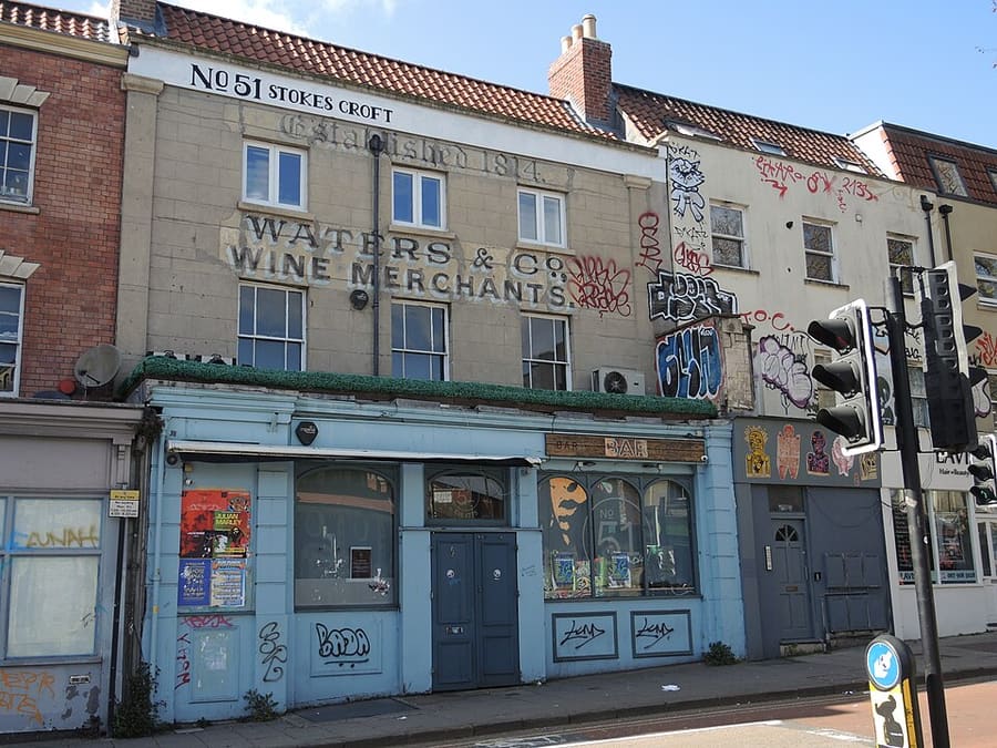
Stokes Croft
Strada e quartiere informale di street art, negozi indipendenti e locali di musica dal vivo, sede della People's Republic of Stokes Croft.
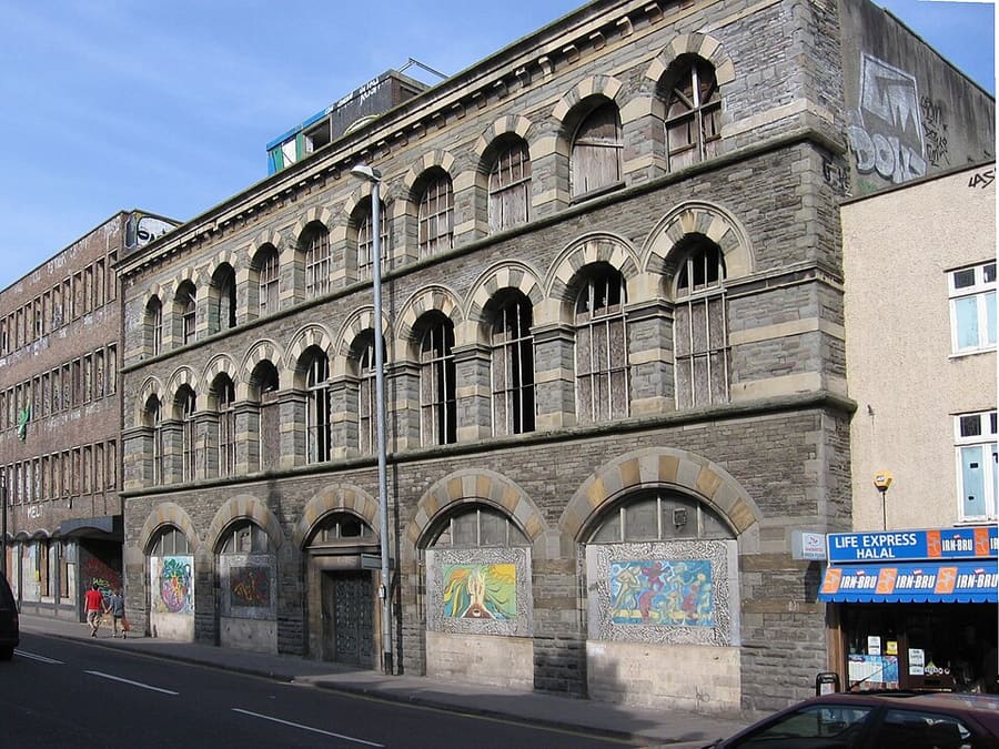
The Carriage Works
Edificio bizantino di Bristol del 1862, opera di E. W. Godwin a Stokes Croft, riqualificato nel 2022 come complesso a uso misto.
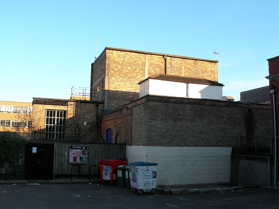
The Cube Microplex
Cinema e sede di eventi senza scopo di lucro, gestito da volontari e dotato di bar, aperto dal 1998.
Bristol
More areas to explore
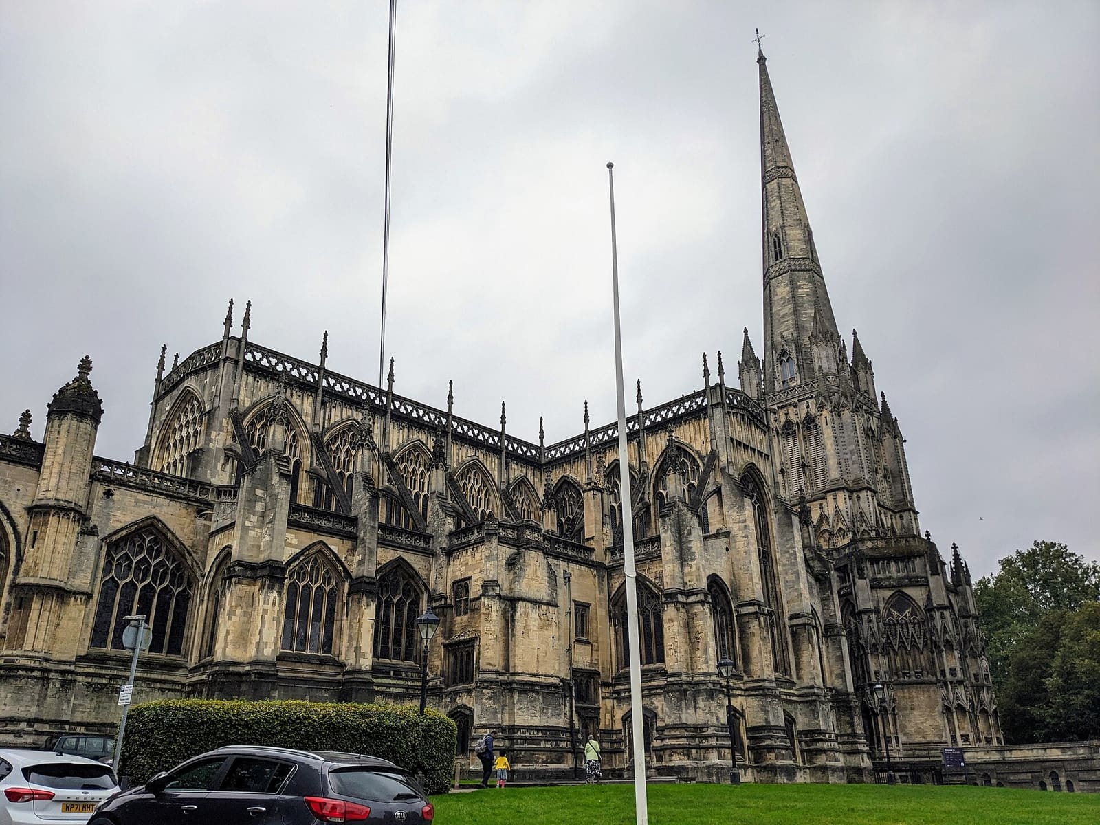
Redcliffe, Temple Meads & Bedminster
La stazione di Brunel, una grande chiesa parrocchiale e i murales di Bedminster
Apri la mini guida →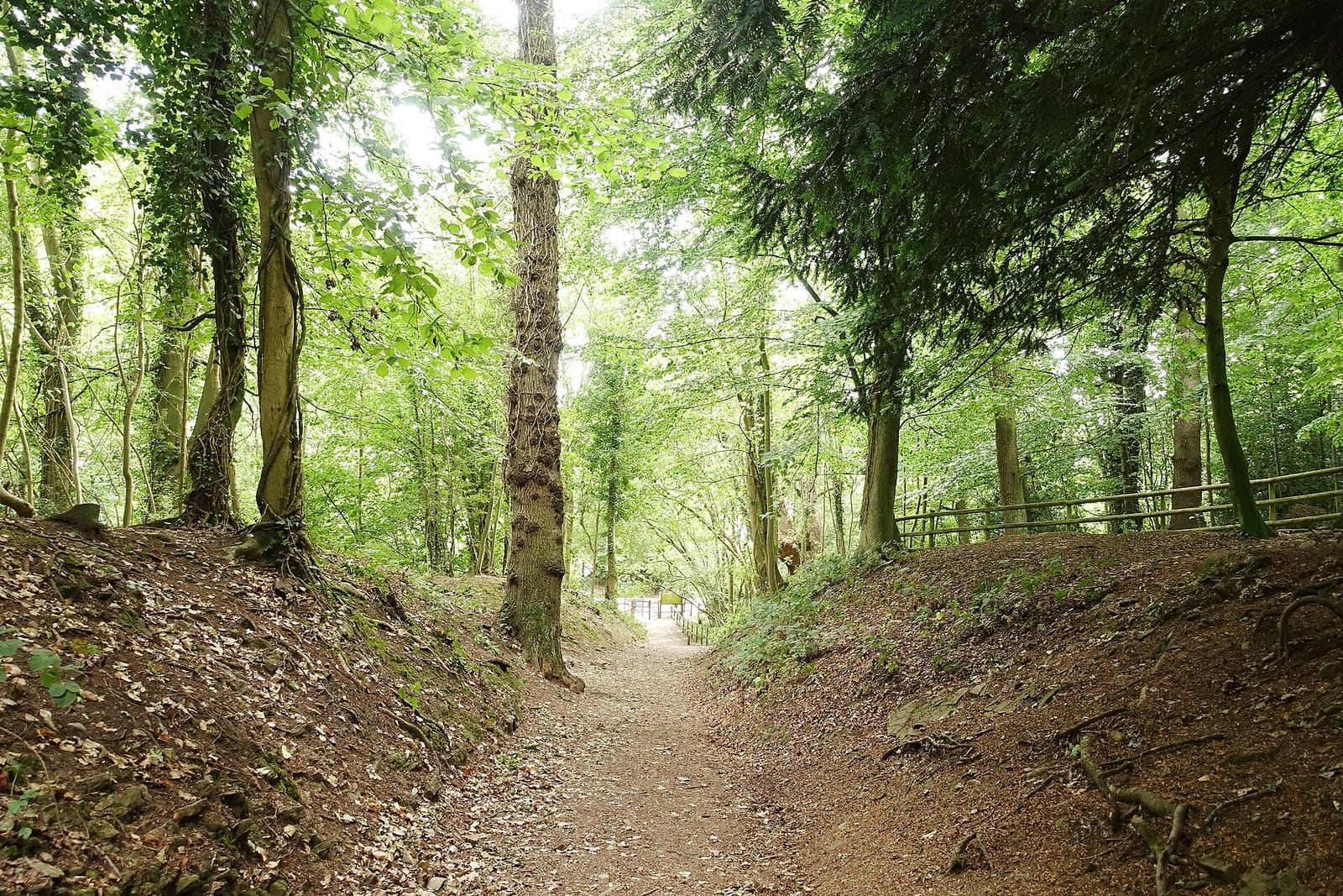
Avon Gorge, Leigh Woods & Ashton Court
Boschi, forti collinari e parchi su entrambi i lati della gola, con Hotwells ai suoi piedi
Apri la mini guida →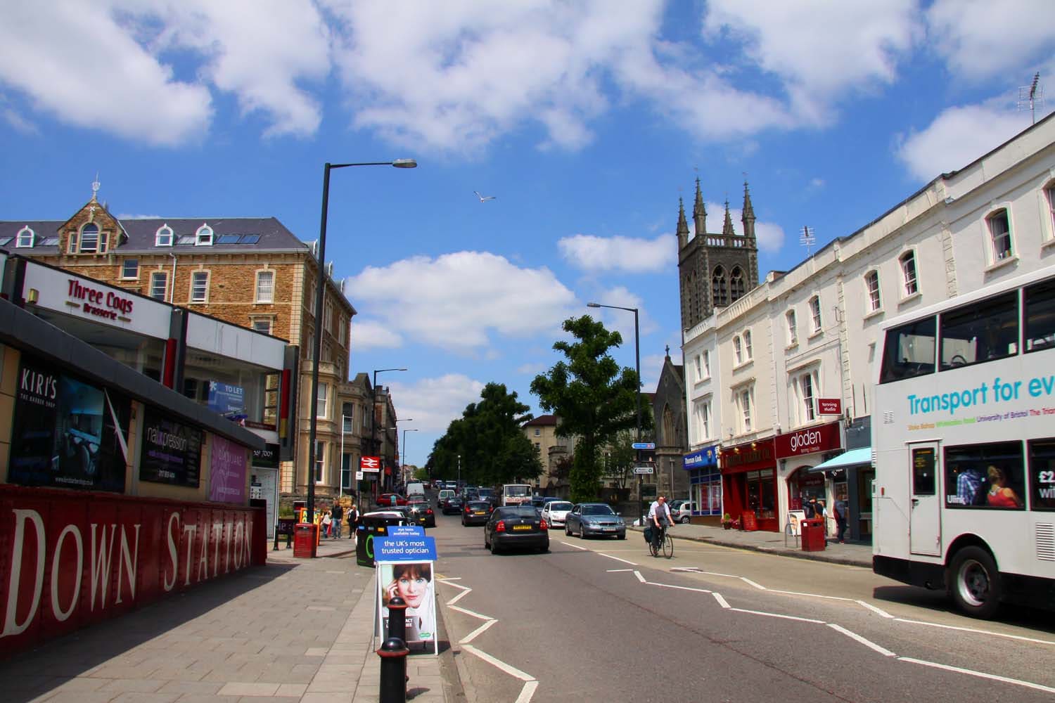
Whiteladies Road & Redland
Cappella georgiana, prati di villaggio e una lunga strada di caffè e ristoranti, a un miglio a nord-ovest del centro
Apri la mini guida →Crediti fotografici
- Montpelier Station: mattbuck (category), CC BY-SA 3.0, source
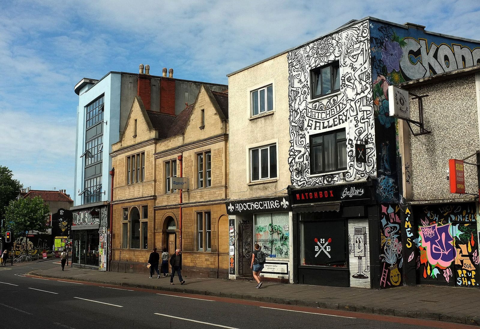
- Stokes Croft, St Pauls & Montpelier (area photo): Derek Harper, CC BY-SA 2.0, source
- Stokes Croft: Neil Owen, CC BY-SA 2.0, source
- The Carriage Works: William Avery, CC BY-SA 2.5, source
- The Cube Microplex: User:Kellen, Public domain, source
- Redcliffe, Temple Meads & Bedminster: The wub, CC BY-SA 4.0, source
- Avon Gorge, Leigh Woods & Ashton Court: Tiia Monto, CC BY-SA 3.0, source
- Whiteladies Road & Redland: Steve Daniels, CC BY-SA 2.0, source
- Gloucester Road & Bishopston: Derek Harper, CC BY-SA 2.0, source
- Harbourside & Millennium Square: Andrew Abbott, CC BY-SA 2.0, source
- Old City, King Street & Park Street: Hyspaosines, CC BY-SA 2.0, source
- Clifton & the Suspension Bridge: Anthony O'Neil, CC BY-SA 2.0, source
Photos from Wikimedia Commons, used under the licences shown. All photo credits
Continua a esplorare Bristol