 English (UK)
 English (US)
 Français
 Deutsch
 Español
 Italiano
 Nederlands
 简体中文
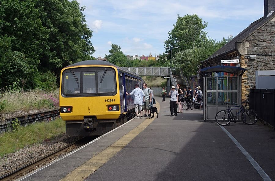
Ein Mini-Guide zu
Stokes Croft, St Pauls & Montpelier: Anreise
Haltestellen, Stationen und Anreise: Stokes Croft, St Pauls & Montpelier
Haltestellen und Stationen
Anreise nach Stokes Croft, St Pauls & Montpelier
Wählen Sie die Haltestelle, die Ihrem Ziel am nächsten liegt.
| Haltestelle oder Station | Services | Gut für |
|---|---|---|
| Montpelier | GWR, Severn Beach Line | Bahnhof mit einem Bahnsteig; laut Wikipedia überwiegend alle 30 Minuten ein Zug in jede Richtung |
| Bristol Bus & Coach Station | National Express, FlixBus, megabus | In der Marlborough Street, nur einen kurzen Fußweg von Stokes Croft entfernt |
| Bristol Temple Meads | GWR, CrossCountry | Hauptbahnhof, eine Busfahrt von Stokes Croft entfernt |
Within walking range
Stations near Stokes Croft, St Pauls & Montpelier
Stations and stops mapped in OpenStreetMap within 2.5 km of the centre of Stokes Croft, St Pauls & Montpelier, nearest first. Distances are straight lines; walking times assume 5 km/h and are a minimum.
| Station or stop | Art | Entfernung | Zu Fuß |
|---|---|---|---|
| Redland | Rail station (Great Western Railway) | 1000 m | about 12 min |
| Stapleton Road | Rail station (Great Western Railway) | 1.6 km | about 19 min |
| Clifton Down | Rail station (Great Western Railway) | 1.6 km | about 20 min |
Station data: © OpenStreetMap contributors (ODbL), read 1 November 2026. Check step-free access with the operator before you travel.
Walking from nearby areas
- Old City, King Street & Park Street: 1.3 km from Stokes Croft, St Pauls & Montpelier, about 16 min on foot
- Whiteladies Road & Redland: 1.5 km from Stokes Croft, St Pauls & Montpelier, about 18 min on foot
- Harbourside & Millennium Square: 1.6 km from Stokes Croft, St Pauls & Montpelier, about 20 min on foot
- Gloucester Road & Bishopston: 1.7 km from Stokes Croft, St Pauls & Montpelier, about 20 min on foot
Anreise nach Bristol
Offizielle Reiseinformationen
Bristol hat einen Flughafen südwestlich der Stadt, einen Hauptbahnhof in Temple Meads und einen Bus- und Fernbusbahnhof nahe Broadmead. Prüfen Sie aktuelle Zeiten, Preise und Störungen stets beim Betreiber.
- Visit Bristol → — die offizielle Besucherwebsite der Stadt
- Visit Bristol: travelling to Bristol → — Bahn, Fernbus, Auto, Boot und Flugzeug
- Visit Bristol: travelling around Bristol → — Busse, Fähren, Radfahren und Zu-Fuß-Gehen
- Visit Bristol: accessible travel → — stufenloser Zugang und Unterstützung
- Great Western Railway → — Züge von London, Bath, Cardiff und aus dem Südwesten
- National Rail Enquiries → – Zugzeiten und Preise
- Bristol Airport → — Flüge und Weiterreise
- Travelwest → — Reiseplanung für Busse, Züge, Fähren und Radfahren
- First Bus → — die meisten Stadtbuslinien
- National Express → – Fernbusse
- Bristol Ferry Boats → — Hafenfahrten und Waterbus
- Bristol City Council → — Parks, Museen und die Clean Air Zone
Zeiten, Preise und Störungen ändern sich: Aktuelle Informationen finden Sie auf den Seiten der Betreiber oben.
Fahrt hierher planen
Geben Sie Ihren Startpunkt ein, und Google Maps zeigt Ihnen Routen nach Stokes Croft, St Pauls & Montpelier. Öffentliche Verkehrsmittel sind voreingestellt; Sie können das auf der Karte ändern. Aktuelle Störungen finden Sie auf den Websites der Betreiber.
While you are here
Things to see in Stokes Croft, St Pauls & Montpelier
A few of the sights in the area. The Things to do page lists them all, with directions and official links.
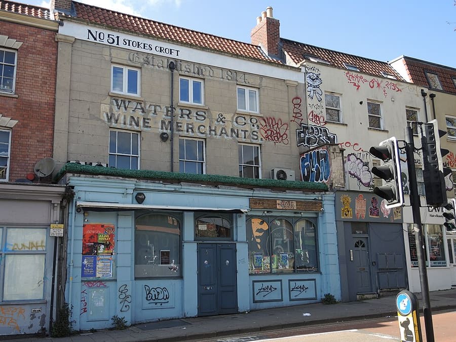
Stokes Croft
Straße und zwangloses Viertel mit Street-Art, unabhängigen Läden und Musikclubs, Heimat der People's Republic of Stokes Croft.
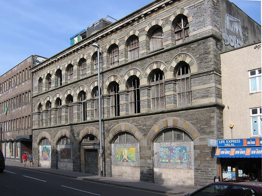
The Carriage Works
Byzantinisches Gebäude in Bristol von 1862, von E. W. Godwin an der Stokes Croft, 2022 als Mischnutzungsprojekt neu belebt.
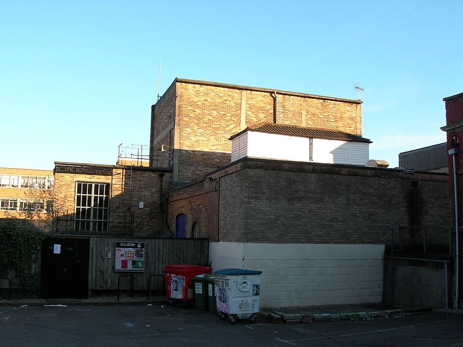
The Cube Microplex
Ehrenamtlich betriebenes, gemeinnütziges Kino und Veranstaltungsort mit Bar, seit 1998 geöffnet.
Bristol
More areas to explore
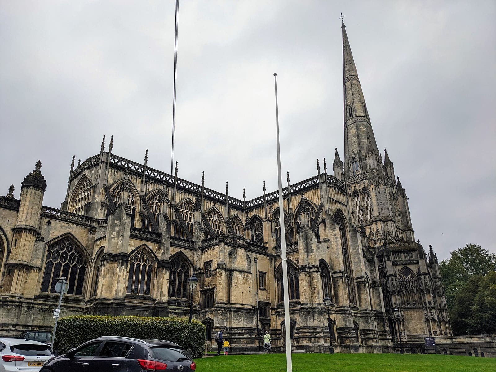
Redcliffe, Temple Meads & Bedminster
Brunels Bahnhof, eine große Pfarrkirche und die Wandbilder von Bedminster
Mini-Guide öffnen →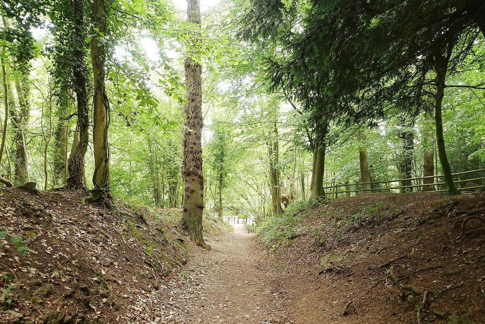
Avon Gorge, Leigh Woods & Ashton Court
Wälder, Wallburgen und Parkland zu beiden Seiten der Schlucht, mit Hotwells an ihrem Fuß
Mini-Guide öffnen →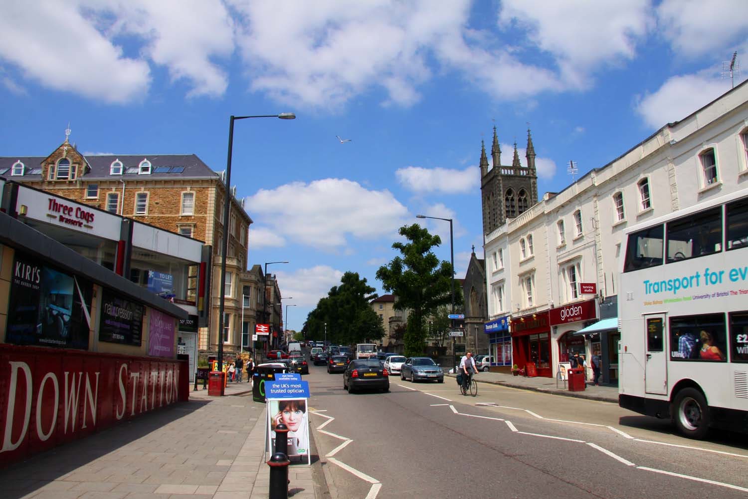
Whiteladies Road & Redland
Georgianische Kapelle, Dorfwiesen und eine lange Straße voller Cafés und Restaurants, eine Meile nordwestlich des Zentrums
Mini-Guide öffnen →Fotonachweise
- Montpelier Station: mattbuck (category), CC BY-SA 3.0, source
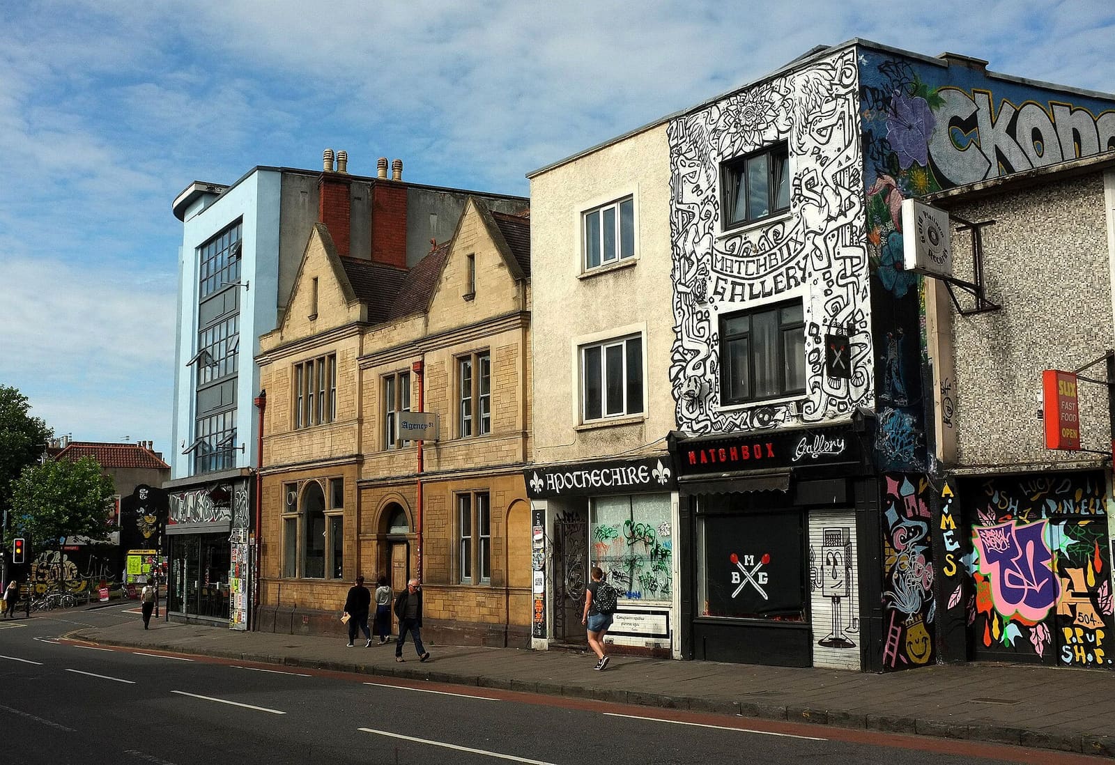
- Stokes Croft, St Pauls & Montpelier (area photo): Derek Harper, CC BY-SA 2.0, source
- Stokes Croft: Neil Owen, CC BY-SA 2.0, source
- The Carriage Works: William Avery, CC BY-SA 2.5, source
- The Cube Microplex: User:Kellen, Public domain, source
- Redcliffe, Temple Meads & Bedminster: The wub, CC BY-SA 4.0, source
- Avon Gorge, Leigh Woods & Ashton Court: Tiia Monto, CC BY-SA 3.0, source
- Whiteladies Road & Redland: Steve Daniels, CC BY-SA 2.0, source
- Gloucester Road & Bishopston: Derek Harper, CC BY-SA 2.0, source
- Harbourside & Millennium Square: Andrew Abbott, CC BY-SA 2.0, source
- Old City, King Street & Park Street: Hyspaosines, CC BY-SA 2.0, source
- Clifton & the Suspension Bridge: Anthony O'Neil, CC BY-SA 2.0, source
Photos from Wikimedia Commons, used under the licences shown. All photo credits
Bristol weiter entdecken