 English (UK)
 English (US)
 Français
 Deutsch
 Español
 Italiano
 Nederlands
 简体中文
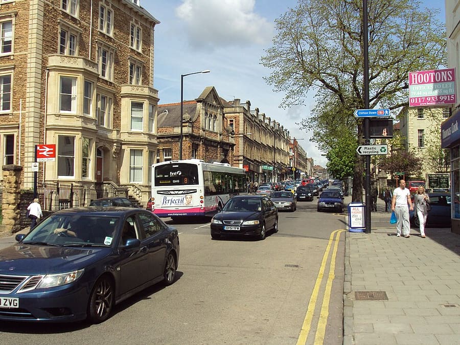
Una mini guida a
Whiteladies Road & Redland: come arrivare
Fermate, stazioni e come raggiungere Whiteladies Road & Redland
Fermate e stazioni
Come arrivare a Whiteladies Road & Redland
Scegliere la fermata più vicina alla destinazione.
| Fermata o stazione | Servizi | Adatto a |
|---|---|---|
| Clifton Down | GWR, Severn Beach Line | Stazione in Whiteladies Road; secondo Wikipedia, di norma un treno ogni 30 minuti |
| Redland | GWR, Severn Beach Line | Stazione per Cotham e Redland; secondo Wikipedia, di norma un treno ogni 30 minuti |
| Autobus di Redland e Whiteladies Road | First West of England | Wikipedia riporta l'autobus 72a attraverso Redland; verificare i percorsi attuali presso First Bus |
Within walking range
Stations near Whiteladies Road & Redland
Stations and stops mapped in OpenStreetMap within 2.5 km of the centre of Whiteladies Road & Redland, nearest first. Distances are straight lines; walking times assume 5 km/h and are a minimum.
| Station or stop | Tipo | Distanza | A piedi |
|---|---|---|---|
| Montpelier | Rail station (Great Western Railway) | 1.3 km | about 16 min |
| Bristol Bus & Coach Station | Bus or coach station | 1.5 km | about 18 min |
| SS Great Britain | Stazione | 2.3 km | about 28 min |
| Ashley Down | Rail station (Great Western Railway) | 2.3 km | about 28 min |
Station data: © OpenStreetMap contributors (ODbL), read 1 November 2026. Check step-free access with the operator before you travel.
Walking from nearby areas
- Stokes Croft, St Pauls & Montpelier: 1.5 km from Whiteladies Road & Redland, about 18 min on foot
- Gloucester Road & Bishopston: 1.5 km from Whiteladies Road & Redland, about 19 min on foot
- Old City, King Street & Park Street: 1.8 km from Whiteladies Road & Redland, about 21 min on foot
- Clifton & the Suspension Bridge: 1.8 km from Whiteladies Road & Redland, about 22 min on foot
Come raggiungere Bristol
Informazioni ufficiali sui trasporti
Bristol ha un aeroporto a sud-ovest della città, una stazione ferroviaria principale a Temple Meads e una stazione di autobus e pullman vicino a Broadmead. Verificare sempre con l'operatore orari, tariffe e disagi in corso.
- Visit Bristol → — il sito ufficiale per i visitatori della città
- Visit Bristol: travelling to Bristol → — treno, pullman, auto, barca e aereo
- Visit Bristol: travelling around Bristol → — autobus, traghetti, bicicletta e a piedi
- Visit Bristol: accessible travel → — accesso senza gradini e assistenza
- Great Western Railway → — treni da Londra, Bath, Cardiff e dal sud ovest
- National Rail Enquiries → — orari e tariffe dei treni
- Bristol Airport → — voli e trasporti
- Travelwest → — pianificazione di viaggi in autobus, treno, traghetto e bicicletta
- First Bus → — la maggior parte dei servizi di autobus urbani
- National Express → — autobus a lunga percorrenza
- Bristol Ferry Boats → — gite in porto e waterbus
- Bristol City Council → — parchi, musei e Clean Air Zone
Orari, tariffe e disservizi cambiano: per informazioni in tempo reale consultare le pagine dei gestori qui sopra.
Pianifichi qui il tragitto
Inserisca il punto di partenza e Google Maps mostrerà i percorsi per Whiteladies Road & Redland. Il trasporto pubblico è preselezionato; si può cambiare sulla mappa. Per eventuali disagi in tempo reale, controllare i siti degli operatori.
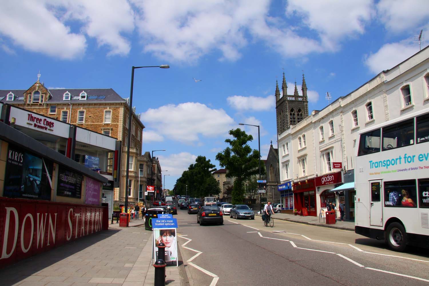
While you are here
Things to see in Whiteladies Road & Redland
A few of the sights in the area. The Things to do page lists them all, with directions and official links.
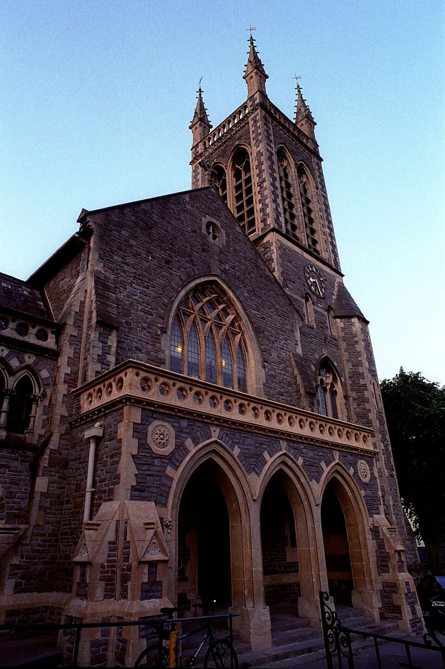
Tyndale Baptist Church
Chiesa battista su Whiteladies Road, fondata nel 1867 e ricostruita nel 1955 dopo i danni di guerra.
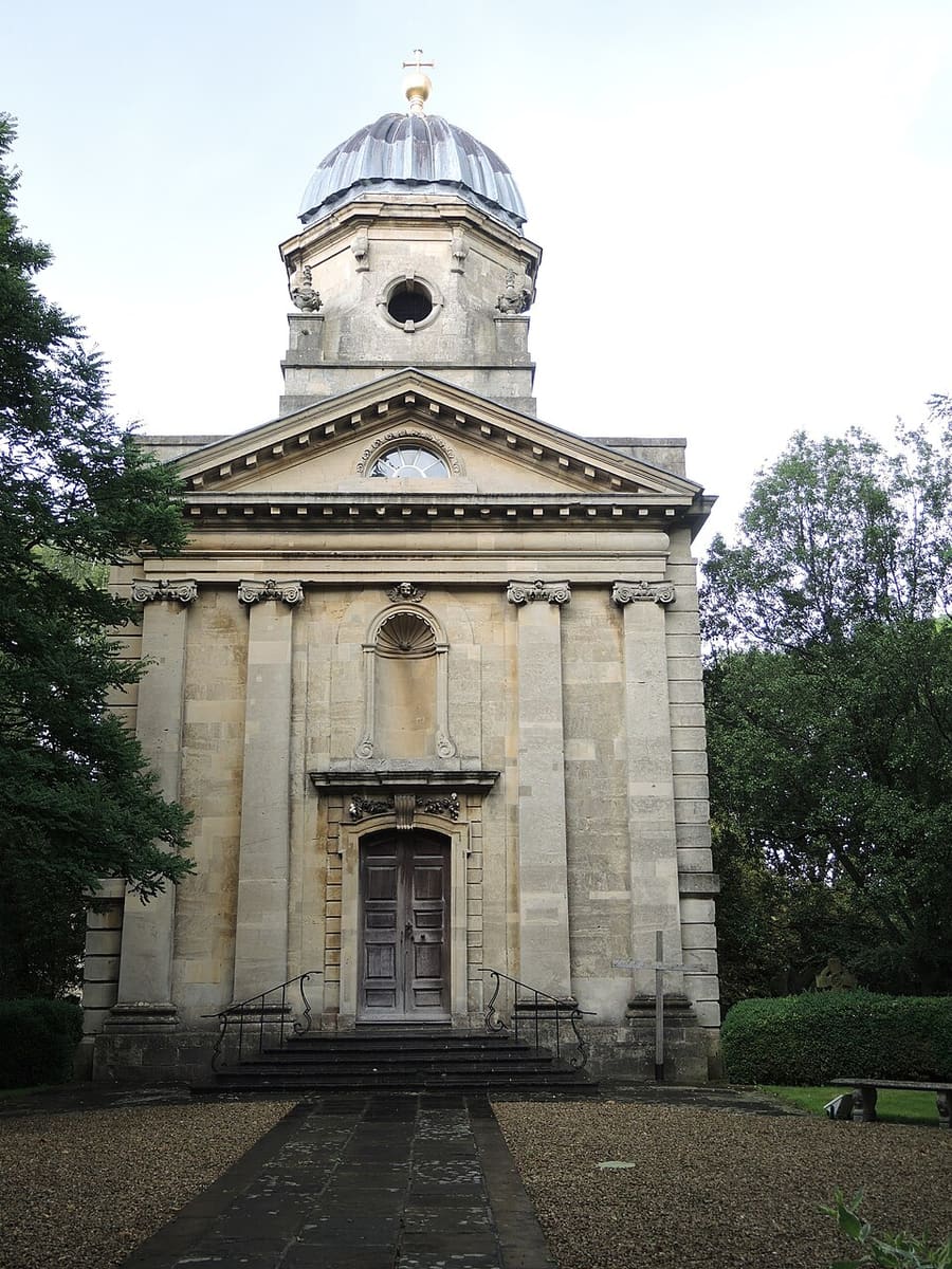
Redland Parish Church
Chiesa georgiana del 1742, costruita come cappella privata di Redland Court e oggi chiesa parrocchiale tutelata Grade I.
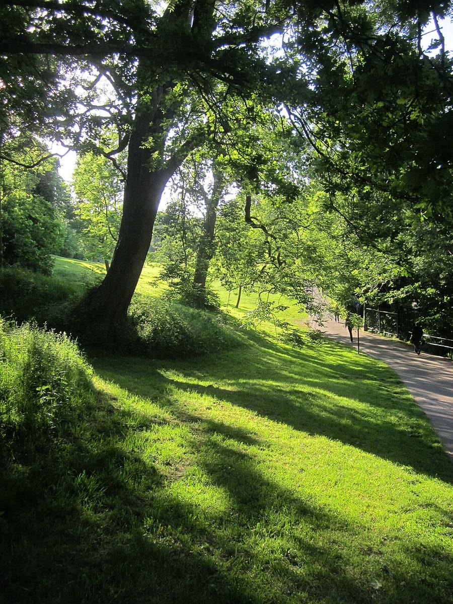
Redland Green
Parco locale con prato comune e area giochi. Ogni anno ospita la Redland May Fair.
Bristol
More areas to explore
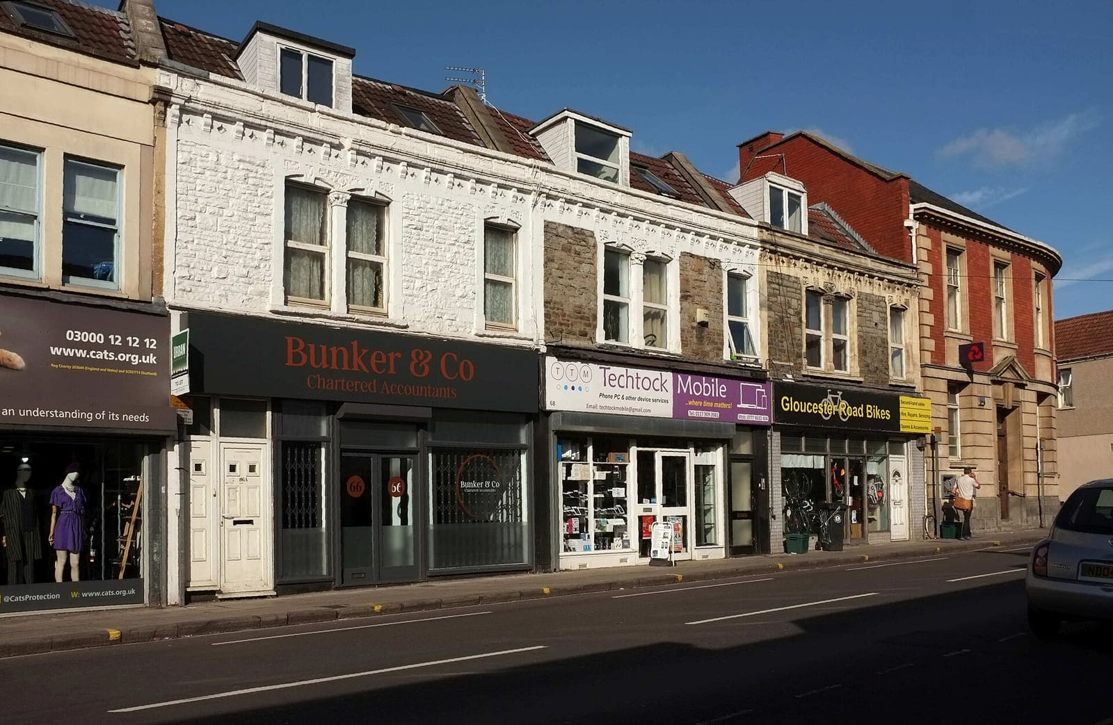
Gloucester Road & Bishopston
Una lunga via di negozi indipendenti, bar e caffè, con parchi cittadini e una fattoria urbana nelle vicinanze
Apri la mini guida →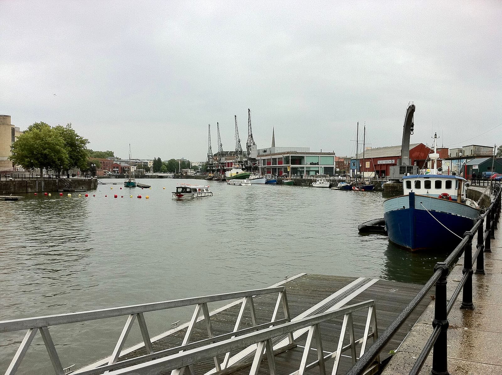
Harbourside & Millennium Square
Musei, gallerie e ristoranti sull'acqua intorno al Floating Harbour
Apri la mini guida →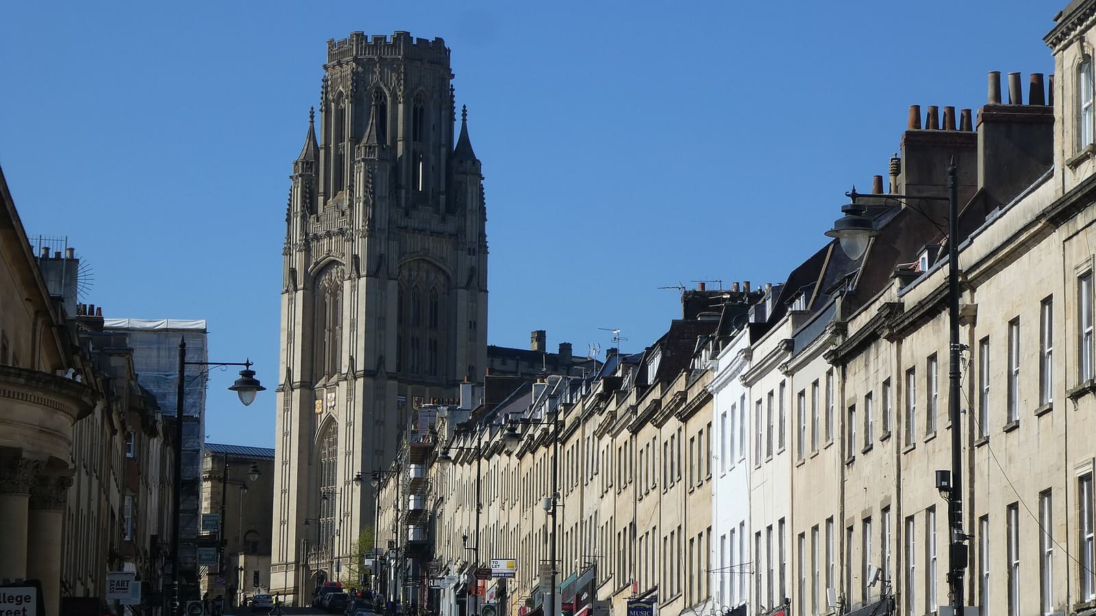
Old City, King Street & Park Street
Strade medievali, case georgiane e musei da Corn Street fino in cima a Park Street
Apri la mini guida →Crediti fotografici
- Whiteladies Road: Rept0n1x, CC BY-SA 3.0, source
- Whiteladies Road & Redland (area photo): Steve Daniels, CC BY-SA 2.0, source
- Tyndale Baptist Church: Rob Brewer from Bristol, England, CC BY-SA 2.0, source
- Redland Parish Church: Neil Owen, CC BY-SA 2.0, source
- Redland Green: Derek Harper, CC BY-SA 2.0, source
- Gloucester Road & Bishopston: Derek Harper, CC BY-SA 2.0, source
- Harbourside & Millennium Square: Andrew Abbott, CC BY-SA 2.0, source
- Old City, King Street & Park Street: Hyspaosines, CC BY-SA 2.0, source
- Clifton & the Suspension Bridge: Anthony O'Neil, CC BY-SA 2.0, source
- Stokes Croft, St Pauls & Montpelier: Derek Harper, CC BY-SA 2.0, source
- Redcliffe, Temple Meads & Bedminster: The wub, CC BY-SA 4.0, source
- Avon Gorge, Leigh Woods & Ashton Court: Tiia Monto, CC BY-SA 3.0, source
Photos from Wikimedia Commons, used under the licences shown. All photo credits
Continua a esplorare Bristol