 English (UK)
 English (US)
 Français
 Deutsch
 Español
 Italiano
 Nederlands
 简体中文
Una mini guida a
Royal Deeside: getting there
Stops, stations and how to reach Royal Deeside
Fermate e stazioni
Getting to Royal Deeside
Scegliere la fermata più vicina alla destinazione.
| Fermata o stazione | Servizi | Adatto a |
|---|---|---|
| Banchory | Stagecoach Bluebird buses from Aberdeen | About 18 miles west of Aberdeen on the A93; no railway station |
| Ballater | Stagecoach Bluebird buses from Aberdeen | The old railway terminus closed in 1966; buses stop in the village |
| Braemar | Stagecoach Bluebird buses via Ballater | About 58 miles from Aberdeen; check Traveline Scotland for current times |
Walking from nearby areas
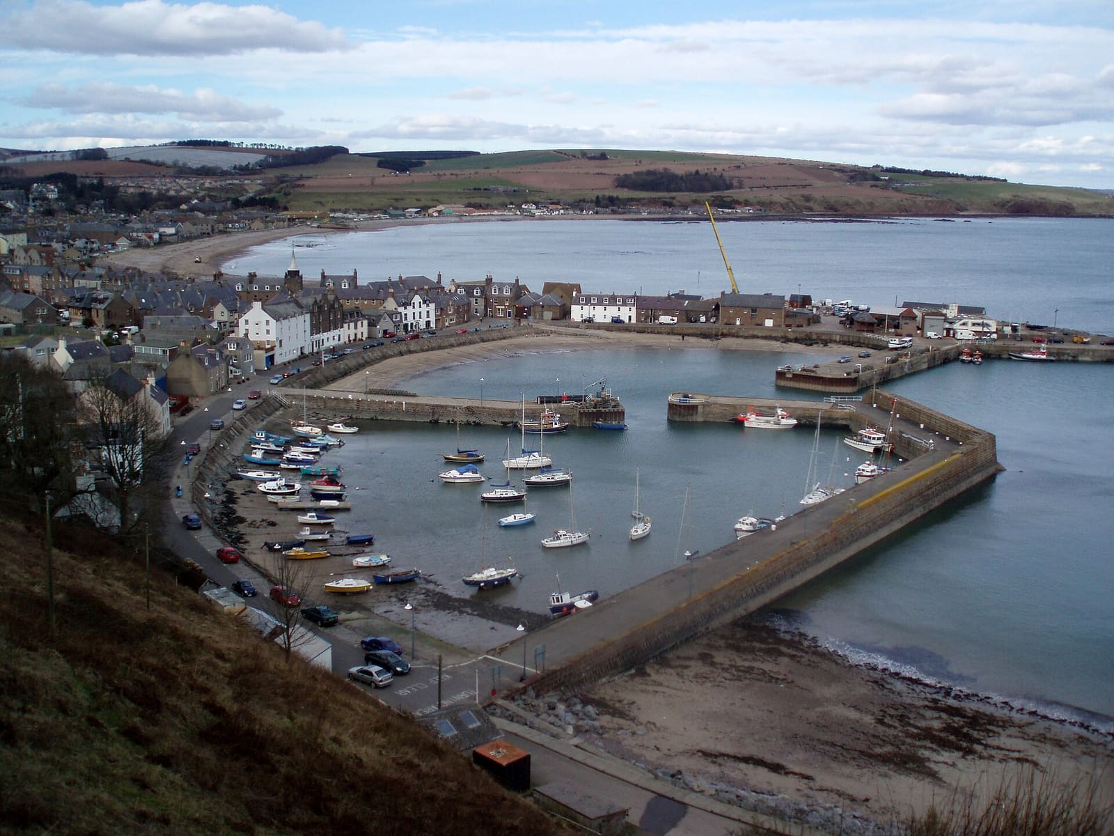
- Stonehaven and Dunnottar: 42.1 km from Royal Deeside, better by public transport
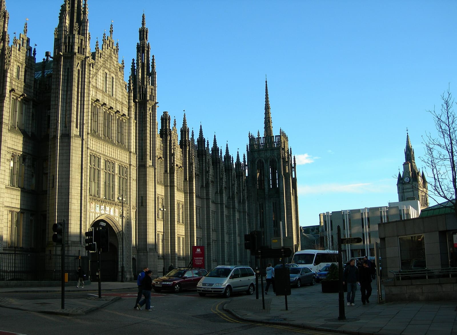
- Aberdeen city: 47.6 km from Royal Deeside, better by public transport
Reaching Aberdeen and Aberdeenshire
Informazioni ufficiali sui trasporti
Aberdeen has an airport north-west of the city, a railway station beside the Union Square shopping centre with the bus station on its far side, and an overnight ferry port for Orkney and Shetland. Always check the operator for current times, fares and disruption.
- Aberdeen International Airport → — Flights, the Jet 727 bus and assisted travel
- National Rail: Aberdeen station → — Station facilities, step-free access and live departures
- Traveline Scotland → — Journey planner for buses and trains across Scotland
- NorthLink Ferries → — Ferries from Aberdeen to Orkney and Shetland
Orari, tariffe e disservizi cambiano: per informazioni in tempo reale consultare le pagine dei gestori qui sopra.
Pianifichi qui il tragitto
Enter your starting point and Google Maps will show routes to Royal Deeside. Public transport is selected; change it on the map. Check operator sites for live disruption.
While you are here
Things to see in Royal Deeside
A few of the sights in the area. The Things to do page lists them all, with directions and official links.
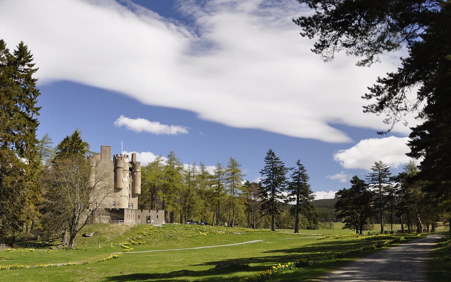
Braemar Castle
Castle by Braemar leased to the community and run by volunteers and staff; open April to October.
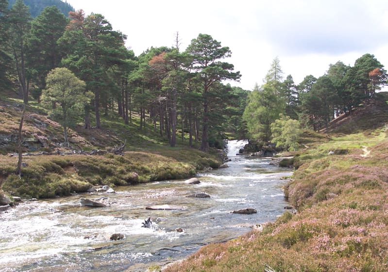
Mar Lodge Estate
Highland estate west of Braemar cared for by the National Trust for Scotland.
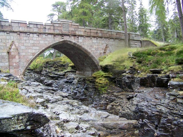
Linn of Dee
Waterfall on the River Dee west of Braemar, crossed by a minor road bridge.
Aberdeen and Aberdeenshire
More areas to explore
Crediti fotografici
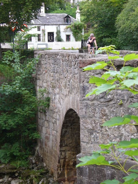
- Bridge of Feugh: Colin Smith, CC BY-SA 2.0, source
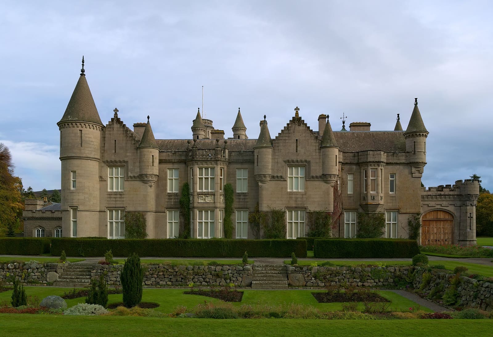
- Royal Deeside (area photo): Daniel Kraft, CC BY-SA 3.0, source
- Braemar Castle: Paul Hermans, CC BY-SA 3.0, source
- Mar Lodge Estate: Taken and uploaded by Deus Ex to en.wikipedia, Public domain, source
- Linn of Dee: Trish Steel, CC BY-SA 2.0, source
- Stonehaven and Dunnottar: Onderwijsgek, CC BY-SA 2.5 nl, source
- Aberdeen city: Carl Farnell, CC BY-SA 2.0, source
Photos from Wikimedia Commons, used under the licences shown. All photo credits
Keep exploring Aberdeen and Aberdeenshire