 English (UK)
 English (US)
 Français
 Deutsch
 Español
 Italiano
 Nederlands
 简体中文
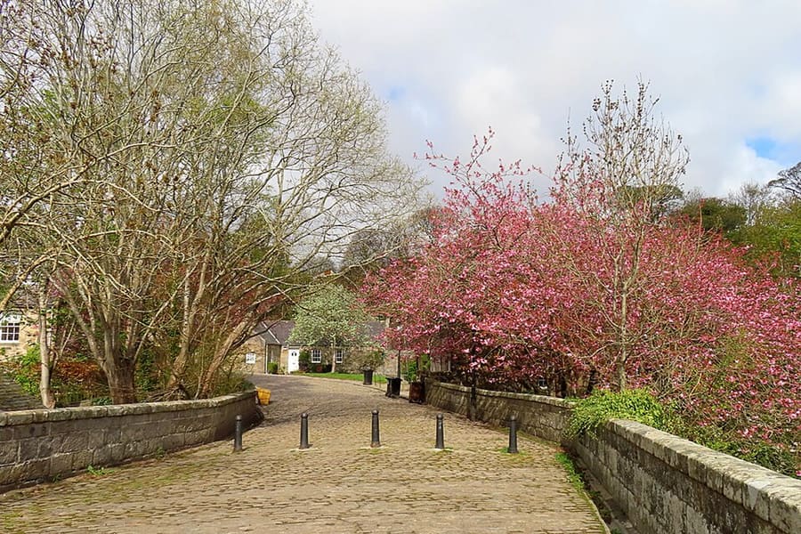
Una mini guida a
Aberdeen city: getting there
Stops, stations and how to reach Aberdeen city
Fermate e stazioni
Getting to Aberdeen city
Scegliere la fermata più vicina alla destinazione.
| Fermata o stazione | Servizi | Adatto a |
|---|---|---|
| Aberdeen | ScotRail, LNER, CrossCountry, Caledonian Sleeper | Main station on Guild Street at Union Square; step-free access to all platforms, according to National Rail |
| Union Square Bus Station | Stagecoach Bluebird and other operators | On the far side of the Union Square shopping centre from the railway station |
| Jet 727 airport bus | Aberdeen Airport to the city centre | Every 15 minutes, according to the airport |
| Dyce | ScotRail | Station about two miles from the airport terminal, on the line to Inverness |
Walking from nearby areas
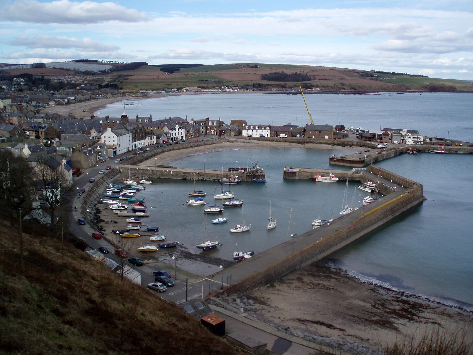
- Stonehaven and Dunnottar: 22.4 km from Aberdeen city, better by public transport
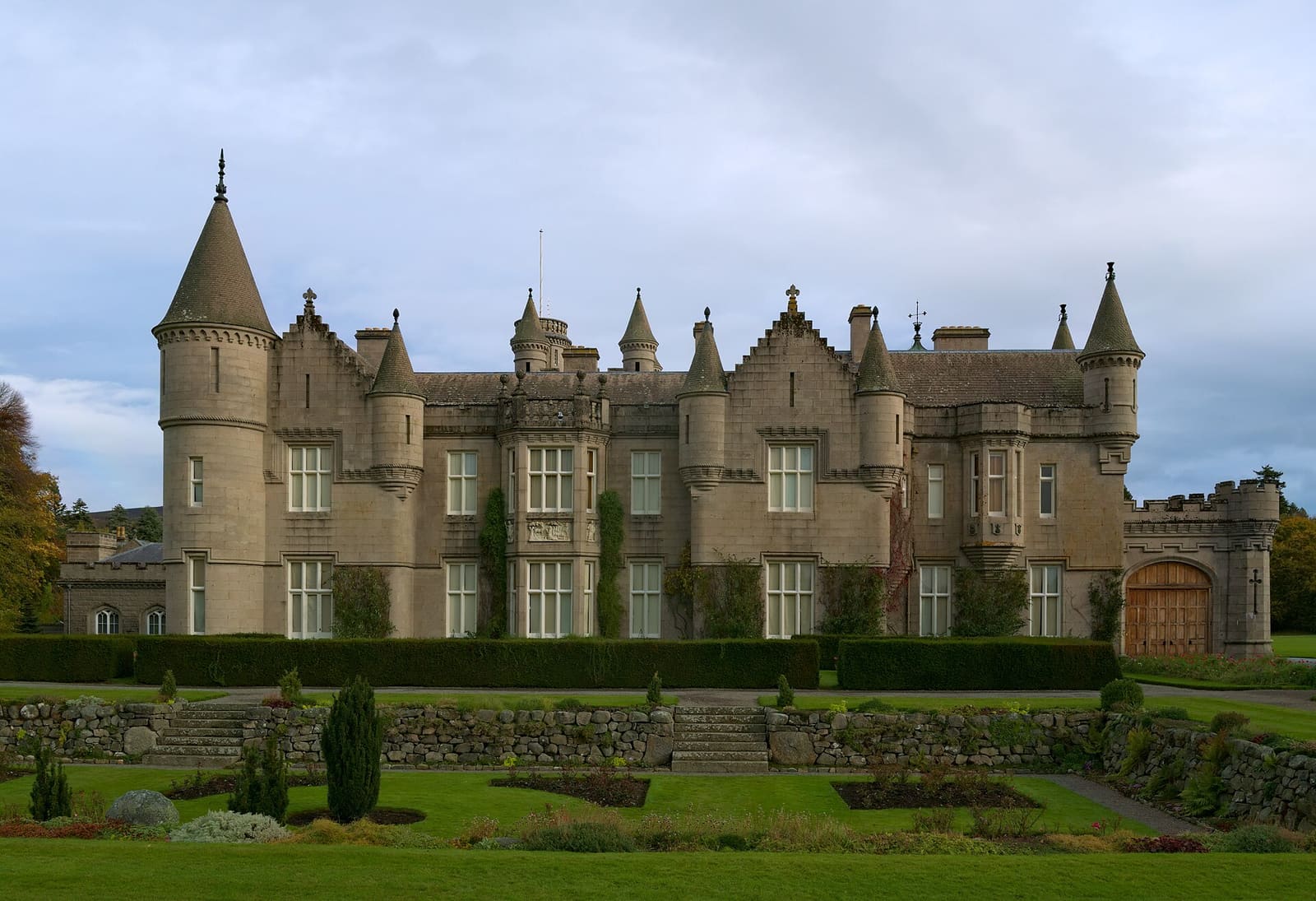
- Royal Deeside: 47.6 km from Aberdeen city, better by public transport
Reaching Aberdeen and Aberdeenshire
Informazioni ufficiali sui trasporti
Aberdeen has an airport north-west of the city, a railway station beside the Union Square shopping centre with the bus station on its far side, and an overnight ferry port for Orkney and Shetland. Always check the operator for current times, fares and disruption.
- Aberdeen International Airport → — Flights, the Jet 727 bus and assisted travel
- National Rail: Aberdeen station → — Station facilities, step-free access and live departures
- Traveline Scotland → — Journey planner for buses and trains across Scotland
- NorthLink Ferries → — Ferries from Aberdeen to Orkney and Shetland
Orari, tariffe e disservizi cambiano: per informazioni in tempo reale consultare le pagine dei gestori qui sopra.
Pianifichi qui il tragitto
Enter your starting point and Google Maps will show routes to Aberdeen city. Public transport is selected; change it on the map. Check operator sites for live disruption.
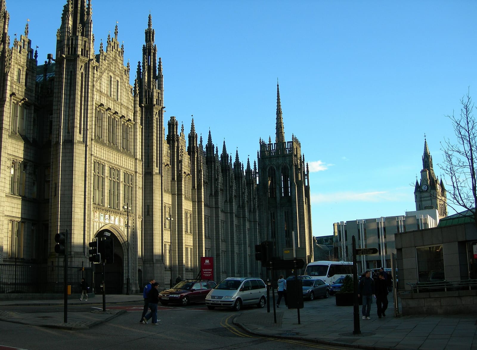
While you are here
Things to see in Aberdeen city
A few of the sights in the area. The Things to do page lists them all, with directions and official links.
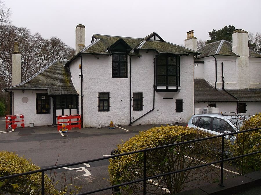
The Gordon Highlanders Museum
Museum of the Gordon Highlanders regiment, which began as the 92nd Regiment of Foot in 1794.
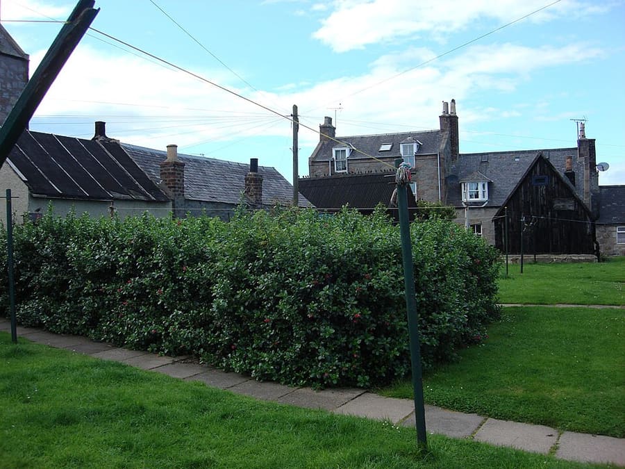
Footdee
Former fishing village at the harbour mouth, with cottages laid out in squares by John Smith in 1808-9; locally called Fittie.
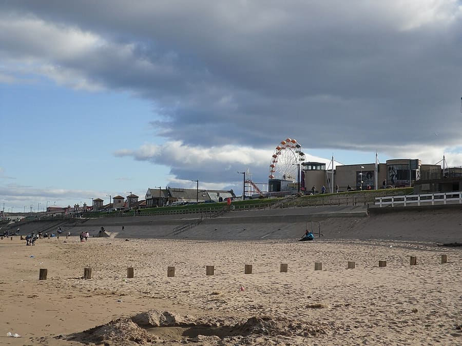
Aberdeen Beach and Queens Links
City beach and esplanade north of the harbour, with the Queens Links behind it.
Aberdeen and Aberdeenshire
More areas to explore
Crediti fotografici
- Brig o' Balgownie: Anne Burgess, CC BY-SA 2.0, source
- Aberdeen city (area photo): Carl Farnell, CC BY-SA 2.0, source
- The Gordon Highlanders Museum: AlasdairW, CC BY-SA 4.0, source
- Footdee: Ettore Timi, CC BY 2.5, source
- Aberdeen Beach and Queens Links: Iain Lees, CC BY-SA 2.0, source
- Royal Deeside: Daniel Kraft, CC BY-SA 3.0, source
- Stonehaven and Dunnottar: Onderwijsgek, CC BY-SA 2.5 nl, source
Photos from Wikimedia Commons, used under the licences shown. All photo credits
Keep exploring Aberdeen and Aberdeenshire