 English (UK)
 English (US)
 Français
 Deutsch
 Español
 Italiano
 Nederlands
 简体中文
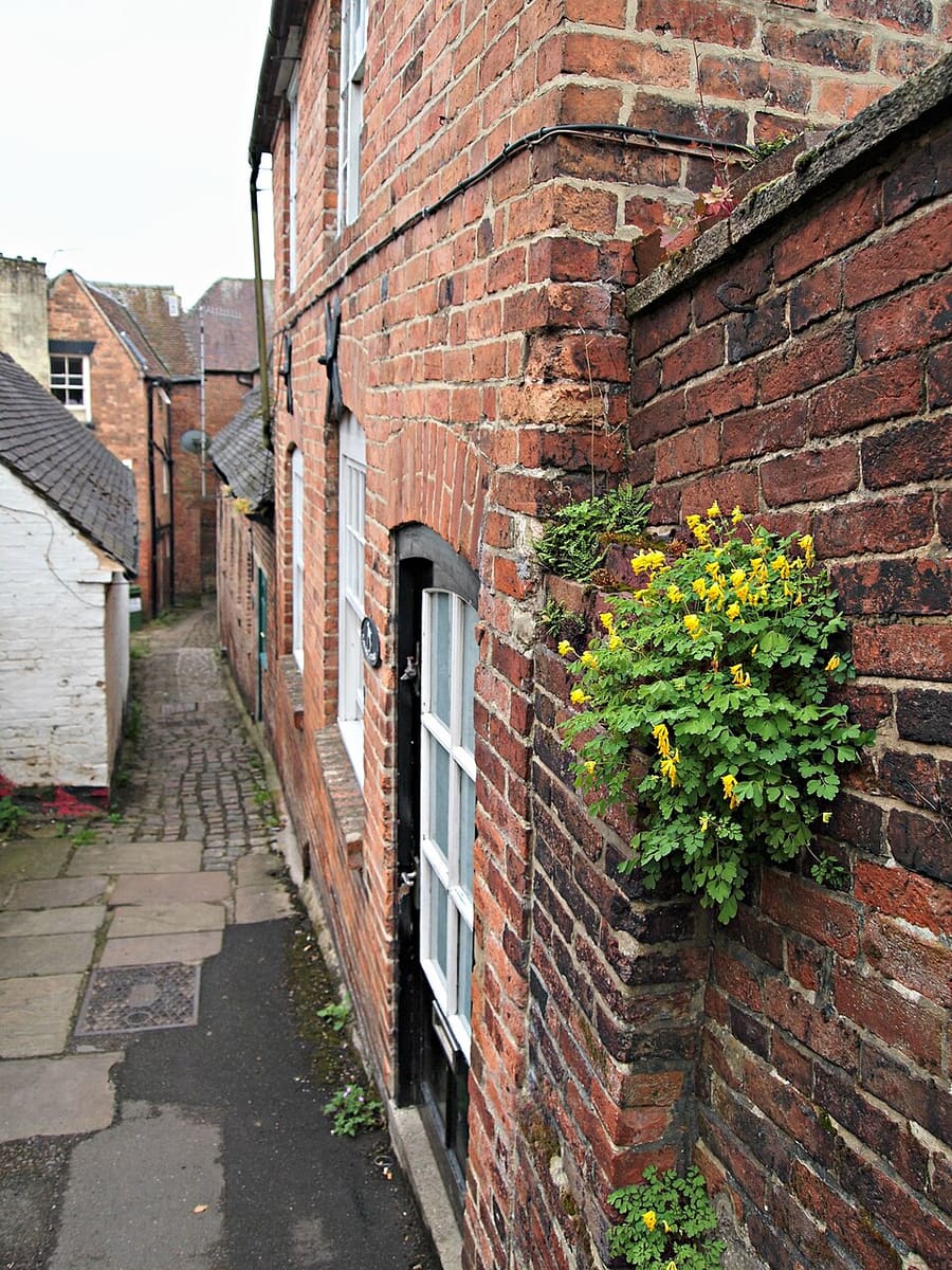
A mini guide to
Dovedale, Ashbourne & the White Peak South: tips and FAQs
Local know-how and common questions
Local know-how
Tips for visiting
Dovedale is busy
The National Trust land in Dovedale attracts about a million visitors a year, so arrive early for the stepping stones and the walk beneath Thorpe Cloud.
Cross a county line
The River Dove forms the Derbyshire and Staffordshire boundary, so Ilam Park and the Manifold Valley are in Staffordshire even though Ashbourne is the post town.
Walk or ride the old railways
The Tissington Trail follows the former Ashbourne to Buxton line, and the Manifold Way follows the old Leek and Manifold Valley Light Railway.
Thor's Cave
Reached by an easy stepped path from the Manifold Way or from Wetton, the cave is a symmetrical arch about 10 metres high.
Rock climbing at Beeston Tor
Seasonal restrictions apply to rock climbing at Beeston Tor, so check local guidance before you climb.
Events
The Peak District event seasons
Dates come from the organisers: confirm on their sites before booking.
Mercatum Christmas Artisan Market at Haddon Hall
11 November to 20 December 2026 (Wednesday to Sunday)
Haddon Hall's own website gives these dates for the Christmas artisan market; the hall is otherwise closed to normal visits between events, so check the Hall's pages.
FAQ
Frequently asked questions
Where is Dovedale, Ashbourne & the White Peak South?
Dovedale, Ashbourne & the White Peak South is in Derbyshire and Staffordshire, England. The River Dove's stepping stones, rail trails and the market town of Ashbourne. Nearby stops and stations include High Peak 442, Derby station, Traveline and Travel Derbyshire.
How long do I need in Dovedale, Ashbourne & the White Peak South?
1 to 2 days. Allow longer if you plan to eat out or visit several attractions.
What are the highlights?
Highlights include Dovedale, Thorpe Cloud, Ilam Park. See the Things to do page for more.
How do I get there?
Nearby: High Peak 442 (High Peak buses); Derby station (East Midlands Railway and others); Traveline and Travel Derbyshire (Journey planners); Tissington Trail (Walking and cycling). The Getting there page links to the official timetables and journey planners.
Where can I eat and drink?
We list 5 places to eat and drink in and around Dovedale, Ashbourne & the White Peak South, with filters to help you choose.
Where should I stay?
We list 5 hotels and other places to stay nearby. Check availability and prices with each property.
Is Dovedale, Ashbourne & the White Peak South accessible?
Accessibility varies by street, building and venue. Check each attraction or operator’s access information before you travel.
While you are here
Things to see in Dovedale, Ashbourne & the White Peak South
A few of the sights in the area. The Things to do page lists them all, with directions and official links.
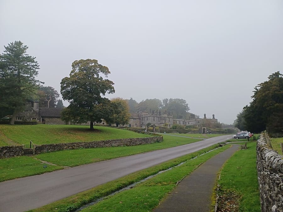
Tissington
Village near Ashbourne that gives its name to the Tissington Trail.
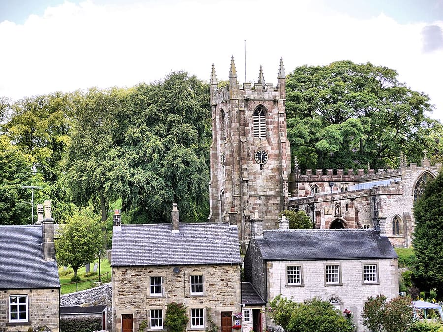
Hartington
Village in the centre of the White Peak on the River Dove; its 17th-century hall is now a youth hostel.
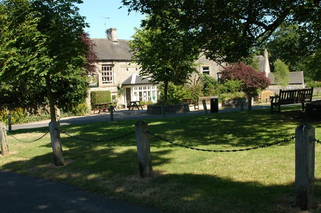
Alstonefield
Village and civil parish in the Peak District National Park, in the Staffordshire Moorlands.
The Peak District
More areas to explore
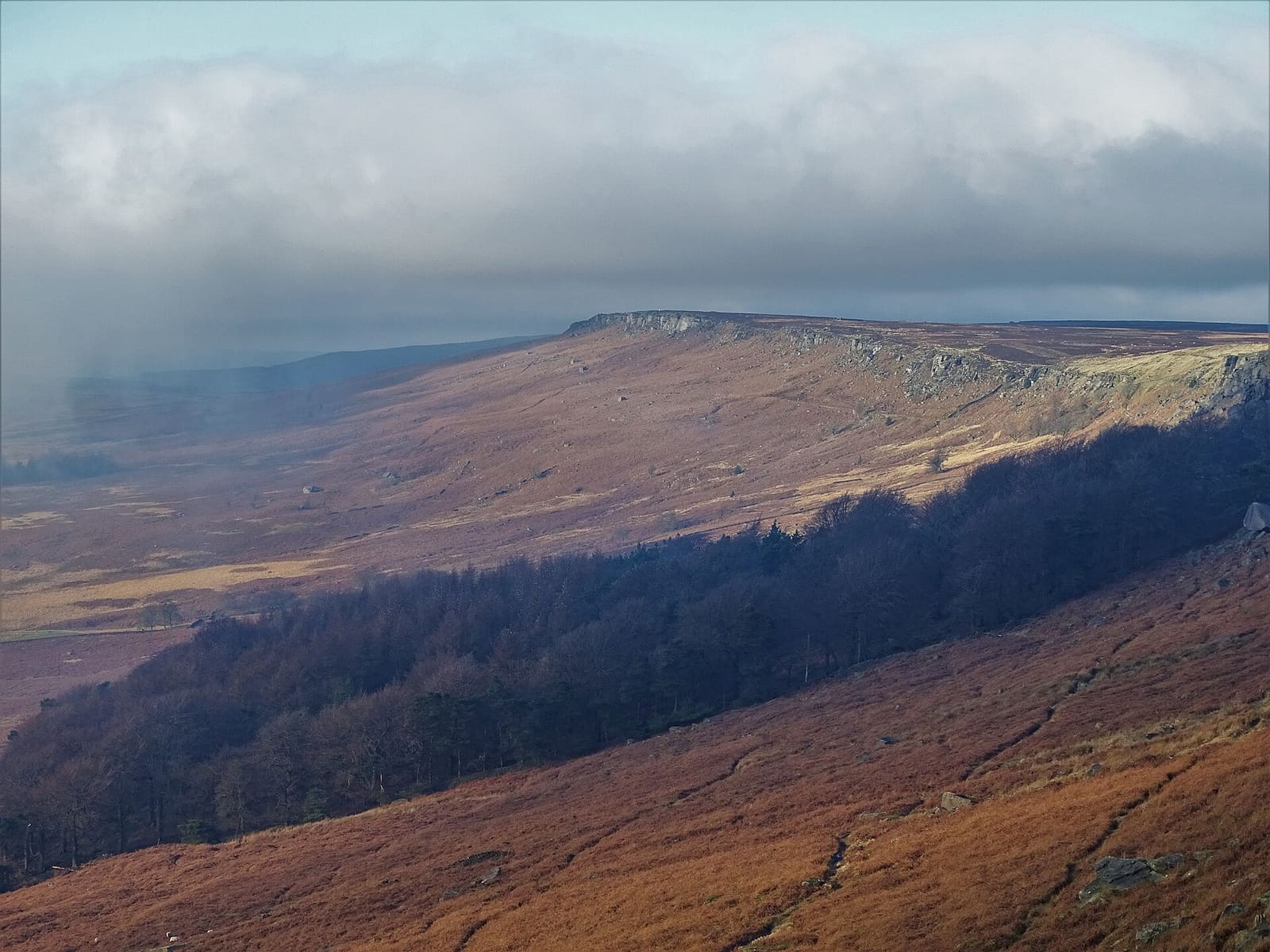
Hathersage, Longshaw & Eyam
Gritstone edges, Padley Gorge and the Eyam plague village on the eastern side of the Peak
Open the mini guide →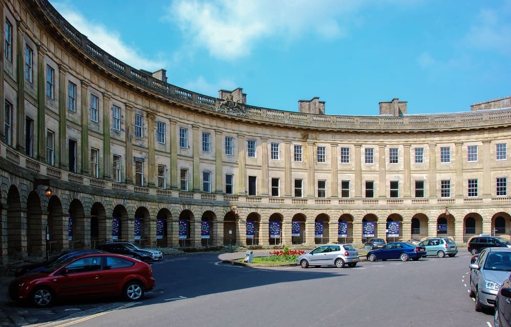
Buxton & the Northern Peak
A Georgian spa town with an opera house, a show cave and the Goyt Valley on its doorstep
Open the mini guide →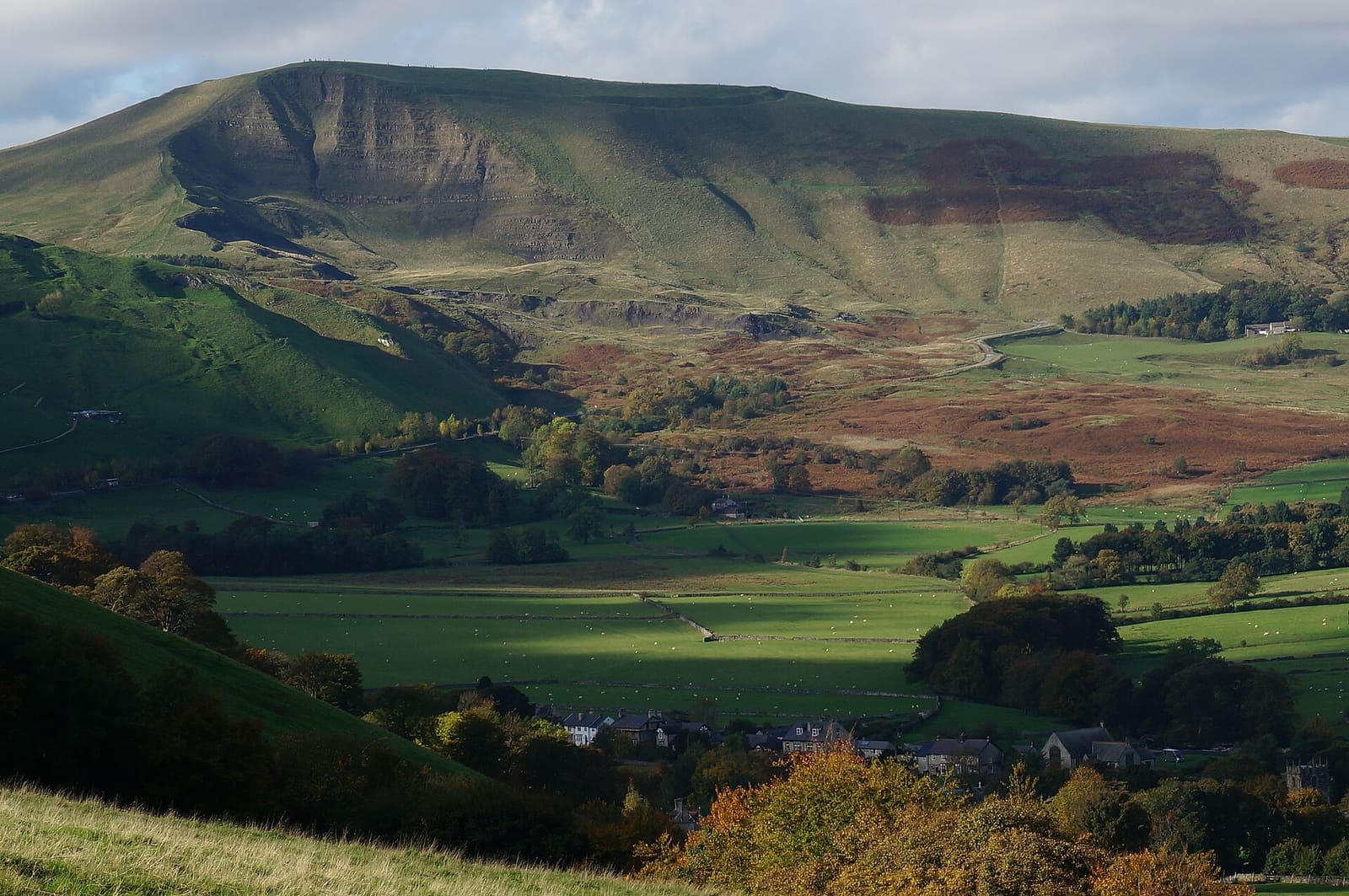
Castleton, Hope Valley & Edale
Show caves, a Norman castle and the start of the Pennine Way below Kinder Scout
Open the mini guide →Photo credits
- Ashbourne: David Hallam-Jones, CC BY-SA 2.0, source
- Tissington: Simon Burchell, CC BY-SA 4.0, source
- Hartington: David, CC BY 2.0, source
- Alstonefield: Row17, CC BY-SA 2.0, source
- Hathersage, Longshaw & Eyam: Neil Theasby, CC BY-SA 2.0, source
- Buxton & the Northern Peak: Eugene Birchall, CC BY-SA 2.0, source
- Castleton, Hope Valley & Edale: Peter Barr, CC BY-SA 2.0, source
- Bakewell, Haddon & Monsal: Kmtextor, CC BY-SA 4.0, source
- Matlock Bath, Matlock & the Derwent Valley: Janine Forbes., CC BY-SA 2.0, source
Photos from Wikimedia Commons, used under the licences shown. All photo credits
Keep exploring the Peak District