 English (UK)
 English (US)
 Français
 Deutsch
 Español
 Italiano
 Nederlands
 简体中文
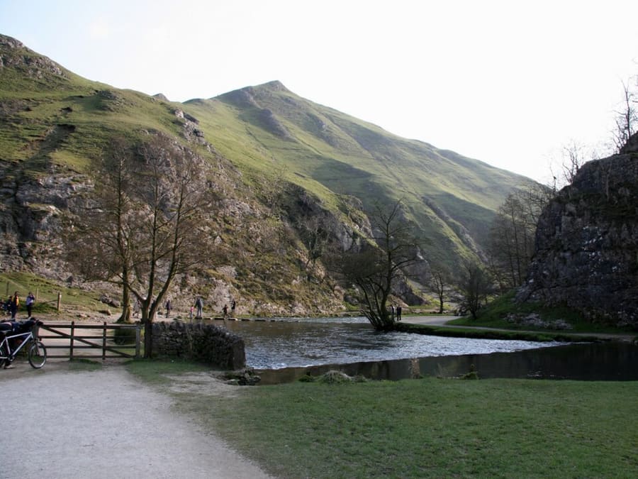
Valley
Dovedale
Valley of just over three miles cut by the River Dove, owned by the National Trust, with stepping stones in the wooded ravine.
A mini guide to
Places worth your time in Dovedale, Ashbourne & the White Peak South
Top places
Landmarks, museums, parks and viewpoints in and around the area.
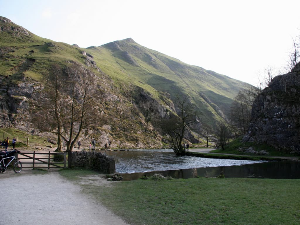
Valley of just over three miles cut by the River Dove, owned by the National Trust, with stepping stones in the wooded ravine.
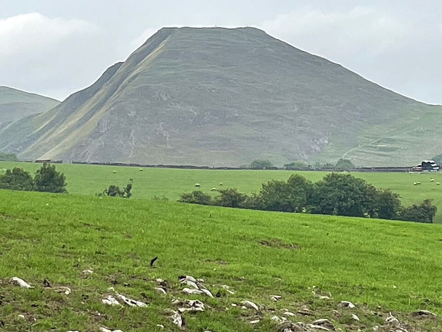
Isolated limestone hill at the southern end of Dovedale, with a viewpoint north up the dale.
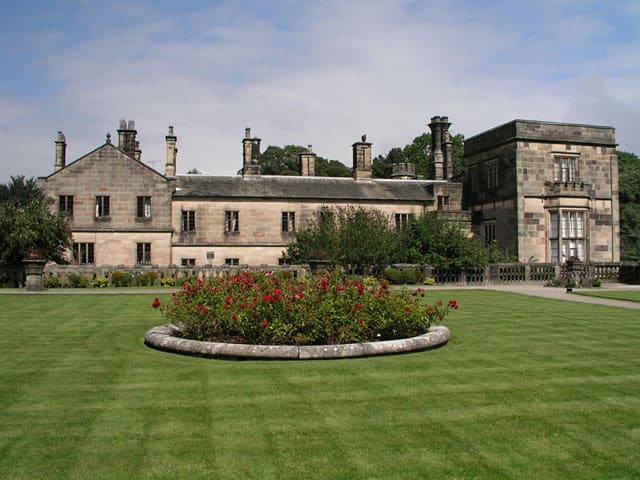
158-acre National Trust park on both banks of the River Manifold, five miles north-west of Ashbourne.
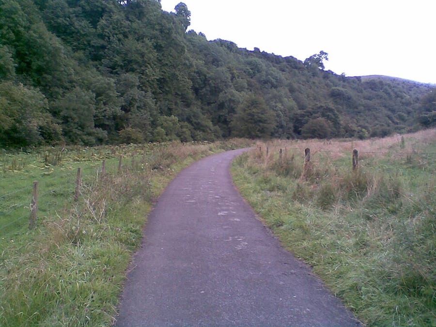
Eight-mile shared-use path from Hulme End to Waterhouses on the old Leek and Manifold Valley Light Railway.
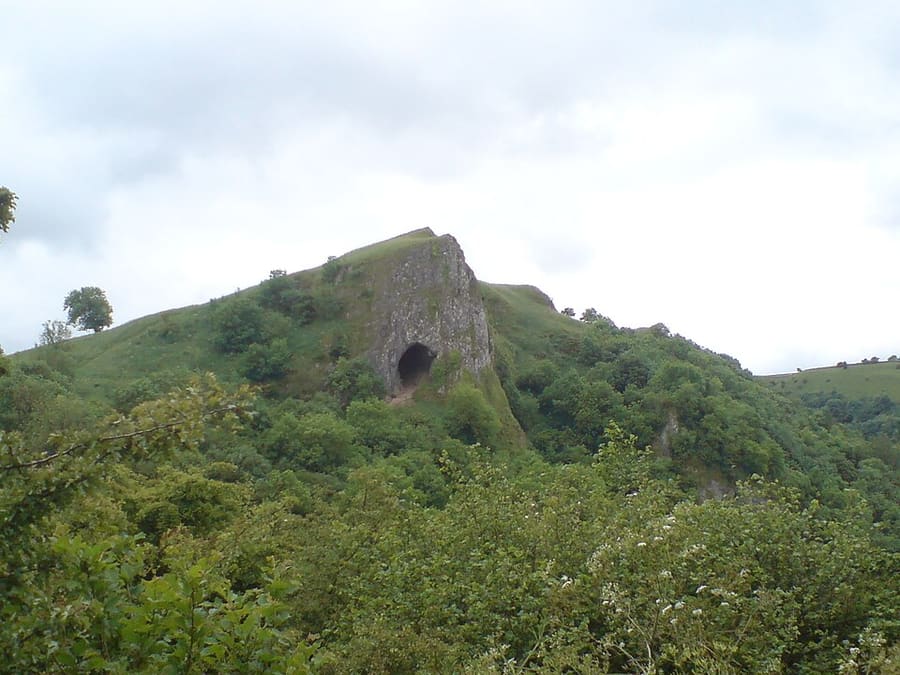
Natural cavern in a limestone crag above the Manifold Valley, reached by a stepped path.
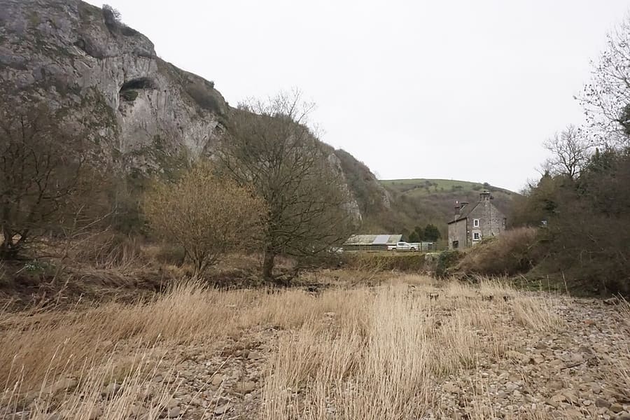
Limestone cliff above the meeting of the Hamps and Manifold, with caves of archaeological importance.
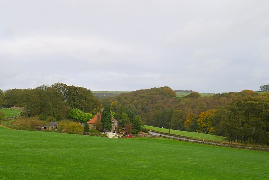
Rail trail of 13 miles from Parsley Hay to Ashbourne on the former Ashbourne to Buxton line, opened in 1971.
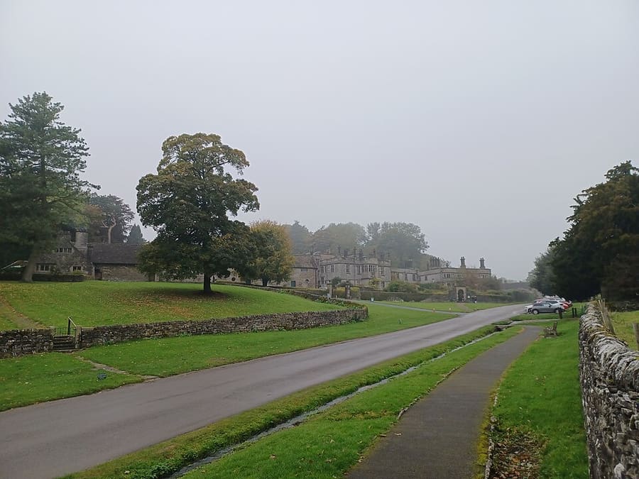
Village near Ashbourne that gives its name to the Tissington Trail.
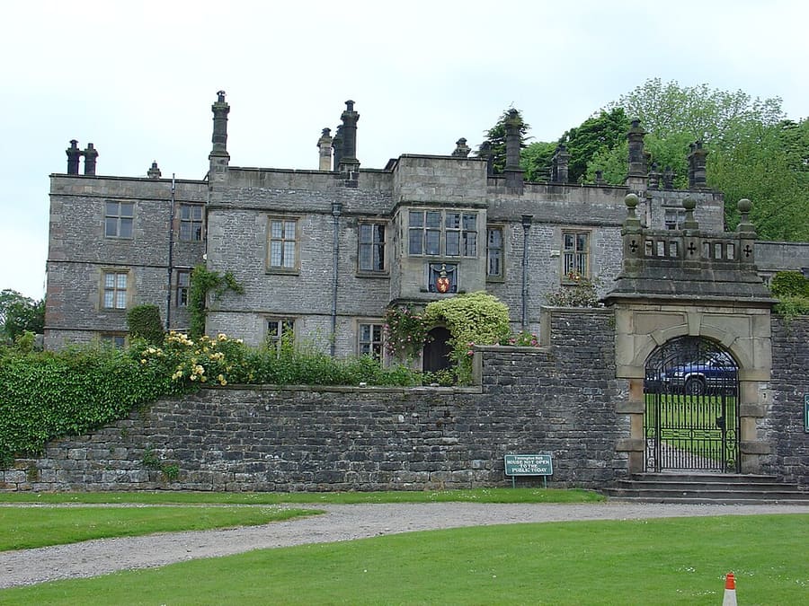
Early 17th-century Jacobean mansion house in Tissington, Grade II* listed.
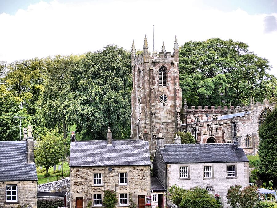
Village in the centre of the White Peak on the River Dove; its 17th-century hall is now a youth hostel.
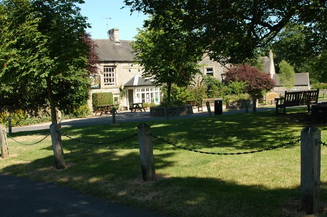
Village and civil parish in the Peak District National Park, in the Staffordshire Moorlands.
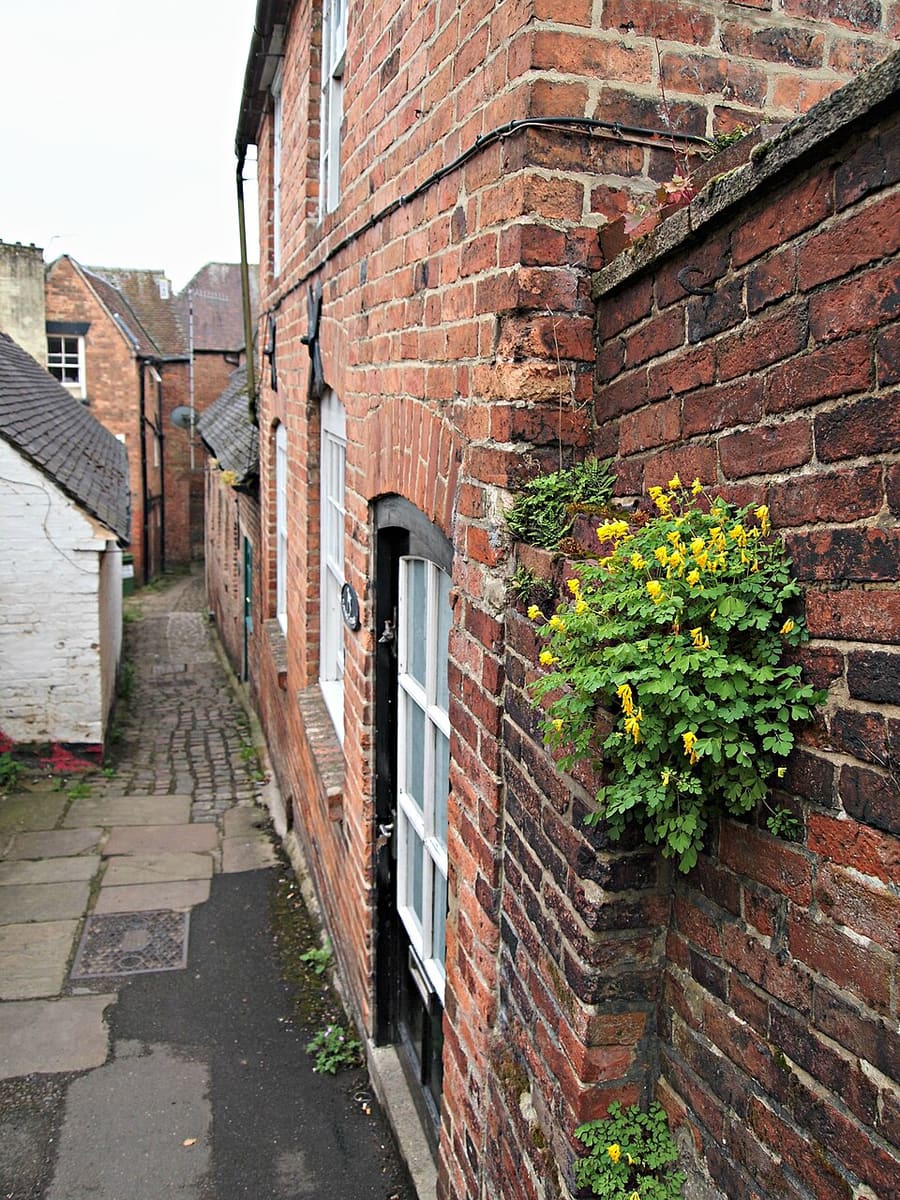
Market town in the Derbyshire Dales, 14 miles north-west of Derby.
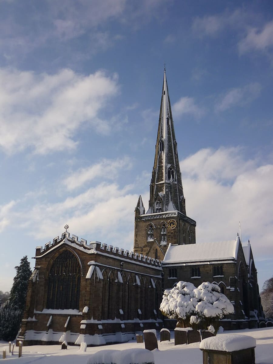
Church of England parish church in the centre of Ashbourne.
The Peak District
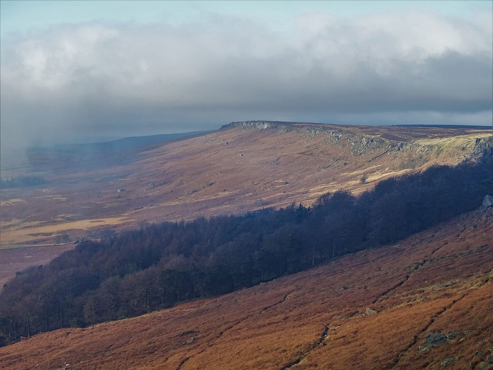
Gritstone edges, Padley Gorge and the Eyam plague village on the eastern side of the Peak
Open the mini guide →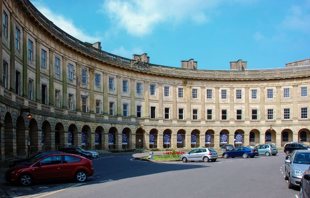
A Georgian spa town with an opera house, a show cave and the Goyt Valley on its doorstep
Open the mini guide →
Show caves, a Norman castle and the start of the Pennine Way below Kinder Scout
Open the mini guide →Photos from Wikimedia Commons, used under the licences shown. All photo credits
Keep exploring the Peak District