 English (UK)
 English (US)
 Français
 Deutsch
 Español
 Italiano
 Nederlands
 简体中文
Una mini guida a
Micklegate and Bishopthorpe Road: come arrivare
Fermate, stazioni e come raggiungere Micklegate and Bishopthorpe Road
Fermate e stazioni
Come arrivare a Micklegate and Bishopthorpe Road
Scegliere la fermata più vicina alla destinazione.
| Fermata o stazione | Servizi | Adatto a |
|---|---|---|
| Stazione di York | LNER, Grand Central, TransPennine Express e altri | A pochi passi da Micklegate Bar, appena fuori dalle mura |
| Park & Ride | Sei aree gestite dal comune | Gli autobus collegano ogni area di sosta al centro; per gli orari controllare il timetable della linea |
Within walking range
Stations near Micklegate and Bishopthorpe Road
Stations and stops mapped in OpenStreetMap within 2.5 km of the centre of Micklegate and Bishopthorpe Road, nearest first. Distances are straight lines; walking times assume 5 km/h and are a minimum.
| Station or stop | Tipo | Distanza | A piedi |
|---|---|---|---|
| York | Rail station (London North Eastern Railway) | 700 m | about 8 min |
| Erskine Halt | Rail station (York Model Engineers) | 1.7 km | about 20 min |
Station data: © OpenStreetMap contributors (ODbL), read 1 November 2026. Check step-free access with the operator before you travel.
Walking from nearby areas
- Castle, Fossgate and Walmgate: 800 m from Micklegate and Bishopthorpe Road, about 10 min on foot
- The Shambles and Stonegate: 900 m from Micklegate and Bishopthorpe Road, about 10 min on foot
- Station and Museum Gardens: 1000 m from Micklegate and Bishopthorpe Road, about 12 min on foot
- Minster Quarter: 1.2 km from Micklegate and Bishopthorpe Road, about 14 min on foot
Raggiungere York
Informazioni ufficiali sui trasporti
York si trova sulla East Coast Main Line e la sua stazione ferroviaria è appena fuori dalle mura della città, a pochi passi dal centro. I principali aeroporti più vicini sono raggiungibili in auto. Verificare sempre con i gestori orari, tariffe e disservizi aggiornati.
- Visit York: arrivare a York → — treni, autobus, aeroporti e viaggio in auto
- Visit York: spostarsi a York → — come muoversi in città
- City of York Council: Park & Ride → — pagina ufficiale del comune
- iTravel York: Park & Ride → — aree di sosta e servizi di autobus
- LNER → — treni sulla East Coast Main Line
- TransPennine Express → — treni diretti da Manchester, Liverpool e Newcastle
- National Rail: York → — informazioni sulla stazione e pianificazione del viaggio
Orari, tariffe e disservizi cambiano: per informazioni in tempo reale consultare le pagine dei gestori qui sopra.
Pianifichi qui il tragitto
Inserisca il punto di partenza e Google Maps mostrerà i percorsi per Micklegate and Bishopthorpe Road. Il trasporto pubblico è preselezionato; si può cambiare sulla mappa. Per eventuali disagi in tempo reale, controllare i siti degli operatori.
While you are here
Things to see in Micklegate and Bishopthorpe Road
A few of the sights in the area. The Things to do page lists them all, with directions and official links.
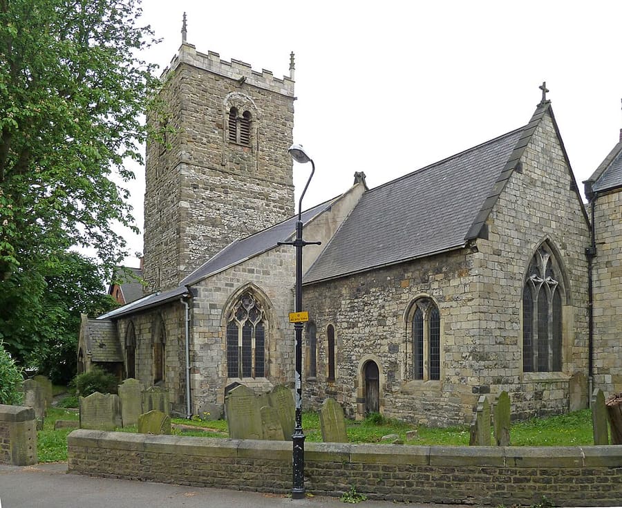
York
More areas to explore
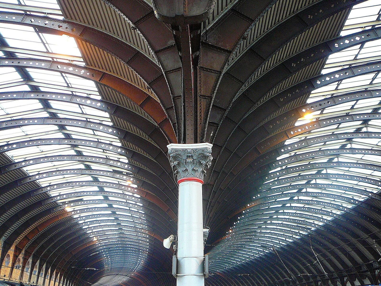
Station and Museum Gardens
Il National Railway Museum, la stazione e i Museum Gardens
Apri la mini guida →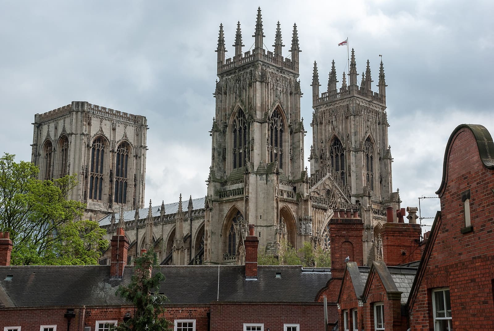
Minster Quarter
York Minster e le vie, le porte e le sale medievali che la circondano
Apri la mini guida →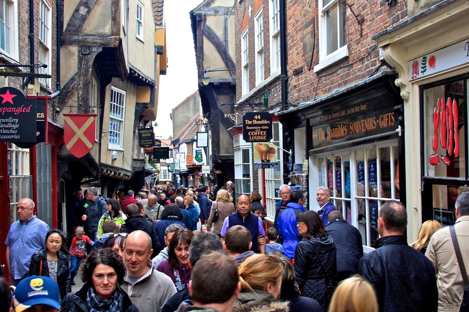
The Shambles and Stonegate
The Shambles, Stonegate e i vicoli stretti del centro storico
Apri la mini guida →Crediti fotografici
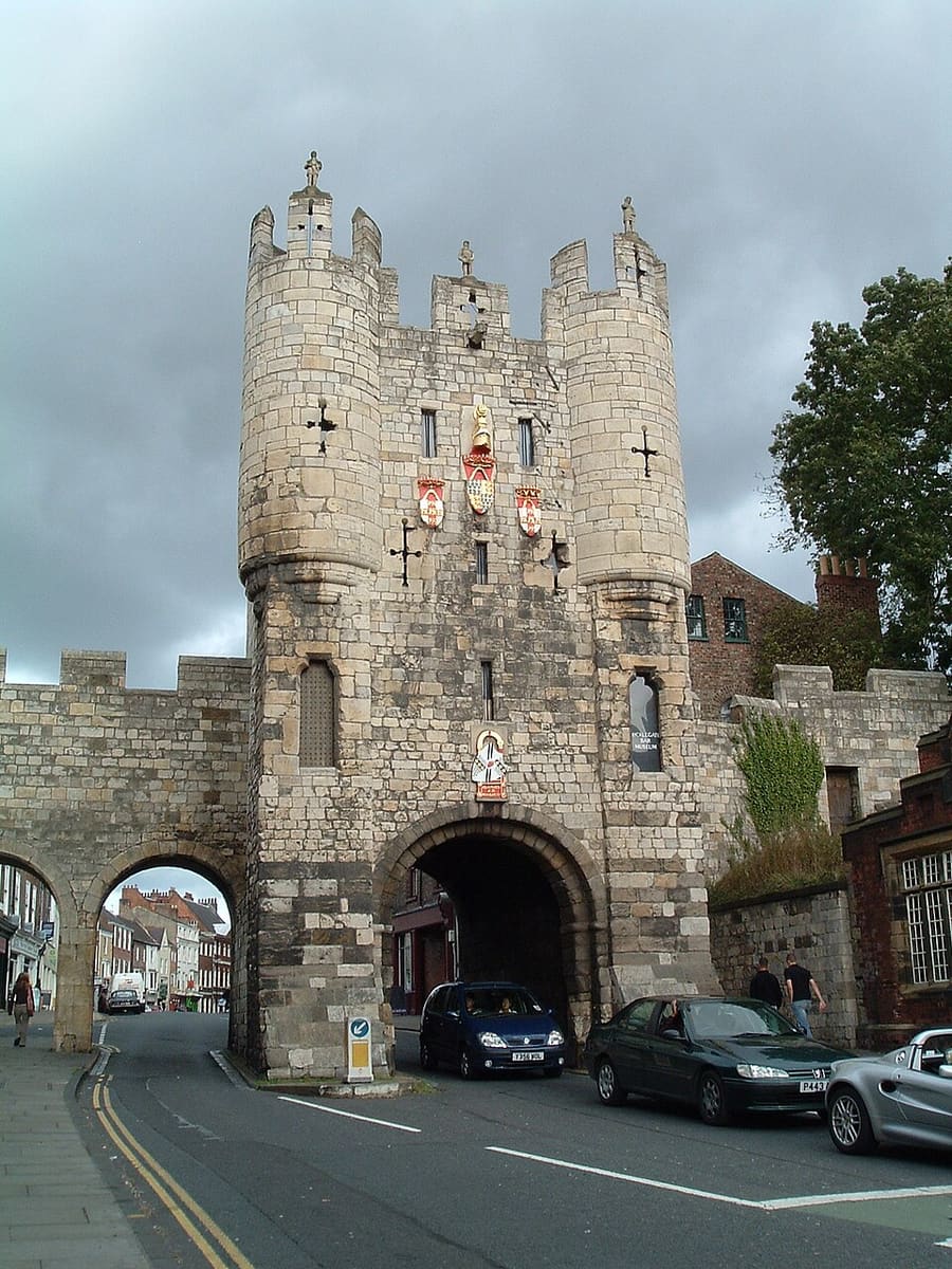
- Micklegate Bar: Dashwortley at English Wikipedia, CC BY-SA 3.0, source
- Micklegate and Bishopthorpe Road (area photo): Tim Green, CC BY 2.0, source
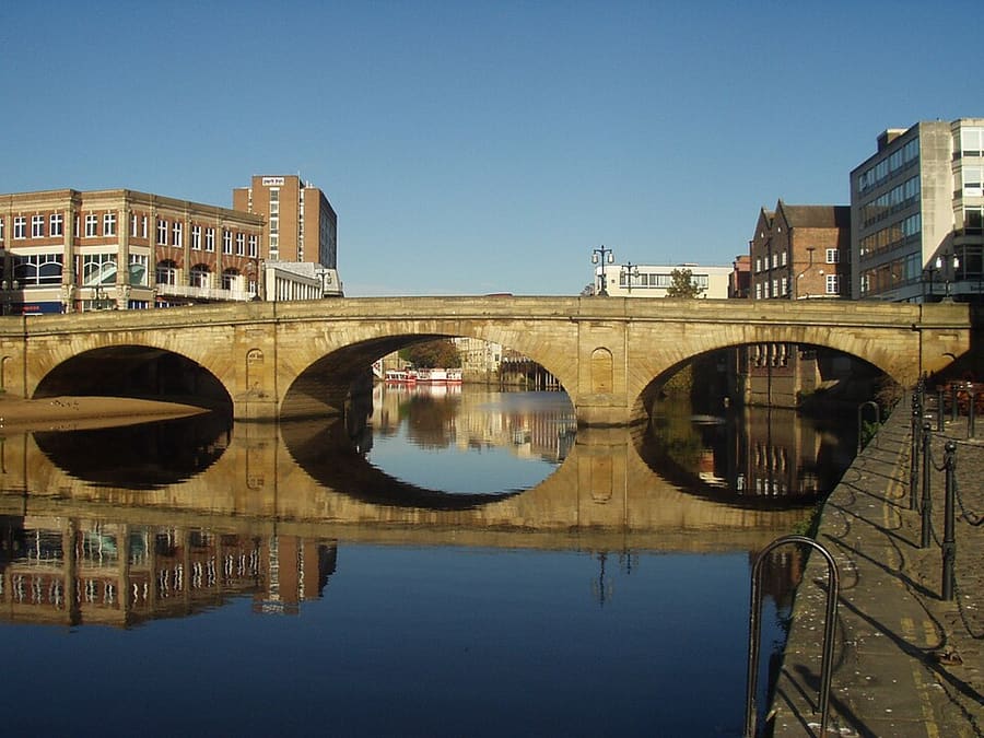
- Ouse Bridge: Tim Green from Bradford, CC BY 2.0, source
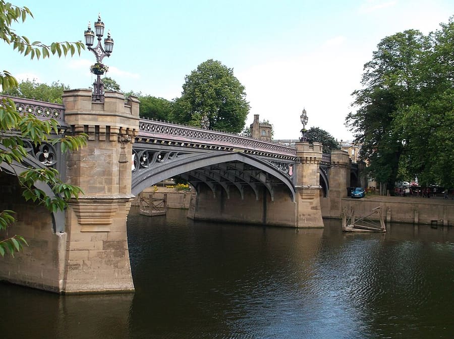
- Skeldergate Bridge: Harry Mitchell, CC BY 3.0, source
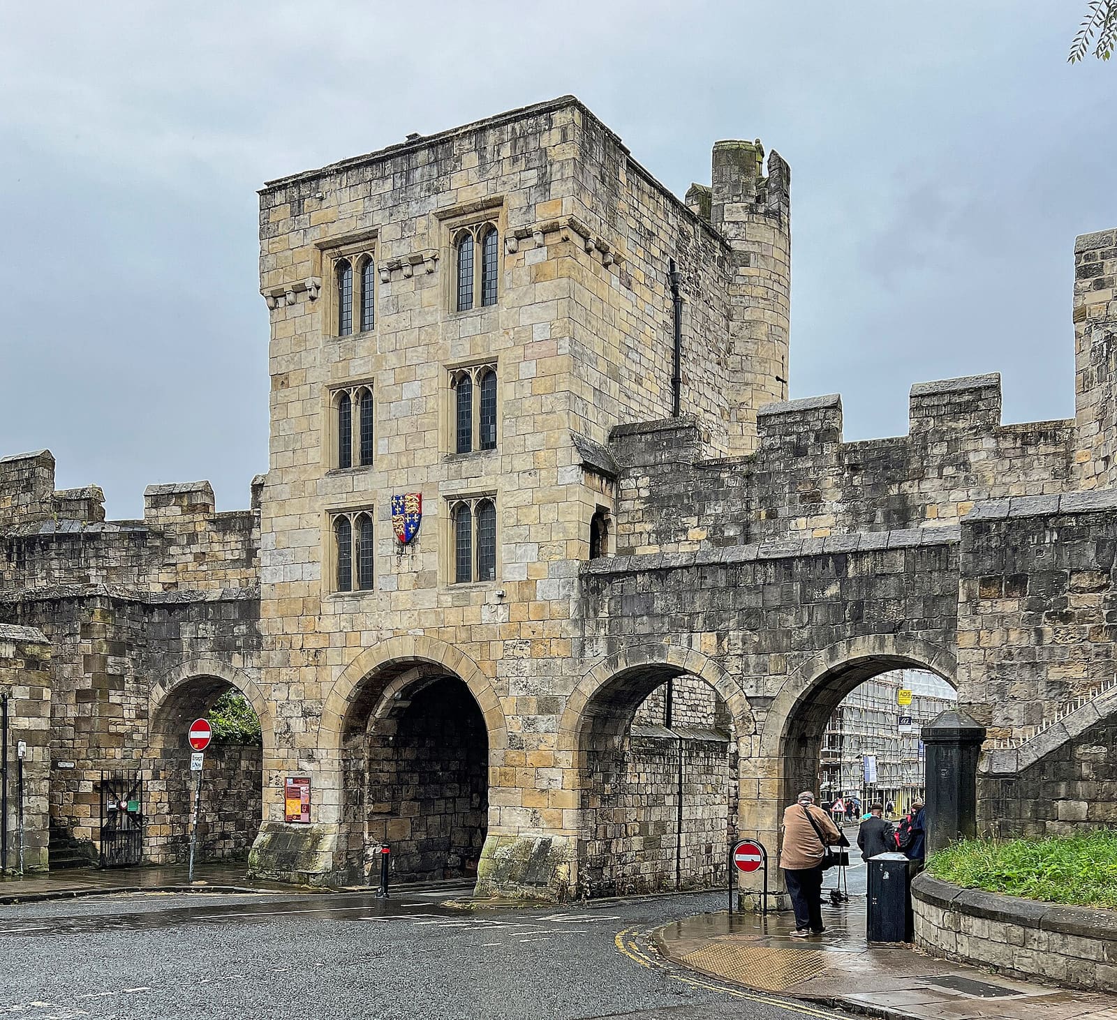
- St Mary Bishophill Junior: Tim Green, CC BY 2.0, source
- Station and Museum Gardens: Tim Green from Bradford, CC BY 2.0, source
- Minster Quarter: Chris Gorringe, CC BY-SA 2.0, source
- The Shambles and Stonegate: Paul Buckingham, CC BY-SA 2.0, source
- Castle, Fossgate and Walmgate: Steven Fruitsmaak, Public domain, source
Photos from Wikimedia Commons, used under the licences shown. All photo credits
Continua a esplorare York