 English (UK)
 English (US)
 Français
 Deutsch
 Español
 Italiano
 Nederlands
 简体中文
Una mini guida a
Shrewsbury town centre: getting there
Stops, stations and how to reach Shrewsbury town centre
Fermate e stazioni
Getting to Shrewsbury town centre
Scegliere la fermata più vicina alla destinazione.
| Fermata o stazione | Servizi | Adatto a |
|---|---|---|
| Shrewsbury station | Trains to Birmingham, Manchester, Chester, Wales and London | In the town centre below the castle |
| Park and Ride | Harlescott, Meole Brace and Oxon | Buses every 20 minutes during the day, Monday to Saturday |
Within walking range
Stations near Shrewsbury town centre
Stations and stops mapped in OpenStreetMap within 2.5 km of the centre of Shrewsbury town centre, nearest first. Distances are straight lines; walking times assume 5 km/h and are a minimum.
| Station or stop | Tipo | Distanza | A piedi |
|---|---|---|---|
| Shrewsbury Bus Station | Bus or coach station (Arriva Midlands) | 400 m | about 4 min |
| Shrewsbury | Rail station (Transport for Wales Rail) | 500 m | about 6 min |
Station data: © OpenStreetMap contributors (ODbL), read 3 November 2026. Check step-free access with the operator before you travel.
Reaching Shrewsbury
Informazioni ufficiali sui trasporti
Shrewsbury station is in the town centre, below the castle. Original Shrewsbury says many services to Wales start at or pass through it, and Birmingham, Manchester and Chester are around an hour away on a direct train; there is also a direct service to London. Check operators for times and fares.
- Original Shrewsbury → — the official guide to Shrewsbury
- Shropshire Museums → — Shrewsbury Museum & Art Gallery and Shrewsbury Castle
- Shrewsbury Abbey → — visiting and services
Orari, tariffe e disservizi cambiano: per informazioni in tempo reale consultare le pagine dei gestori qui sopra.
Pianifichi qui il tragitto
Enter your starting point and Google Maps will show routes to Shrewsbury town centre. Public transport is selected; change it on the map. Check operator sites for live disruption.
While you are here
Things to see in Shrewsbury town centre
A few of the sights in the area. The Things to do page lists them all, with directions and official links.
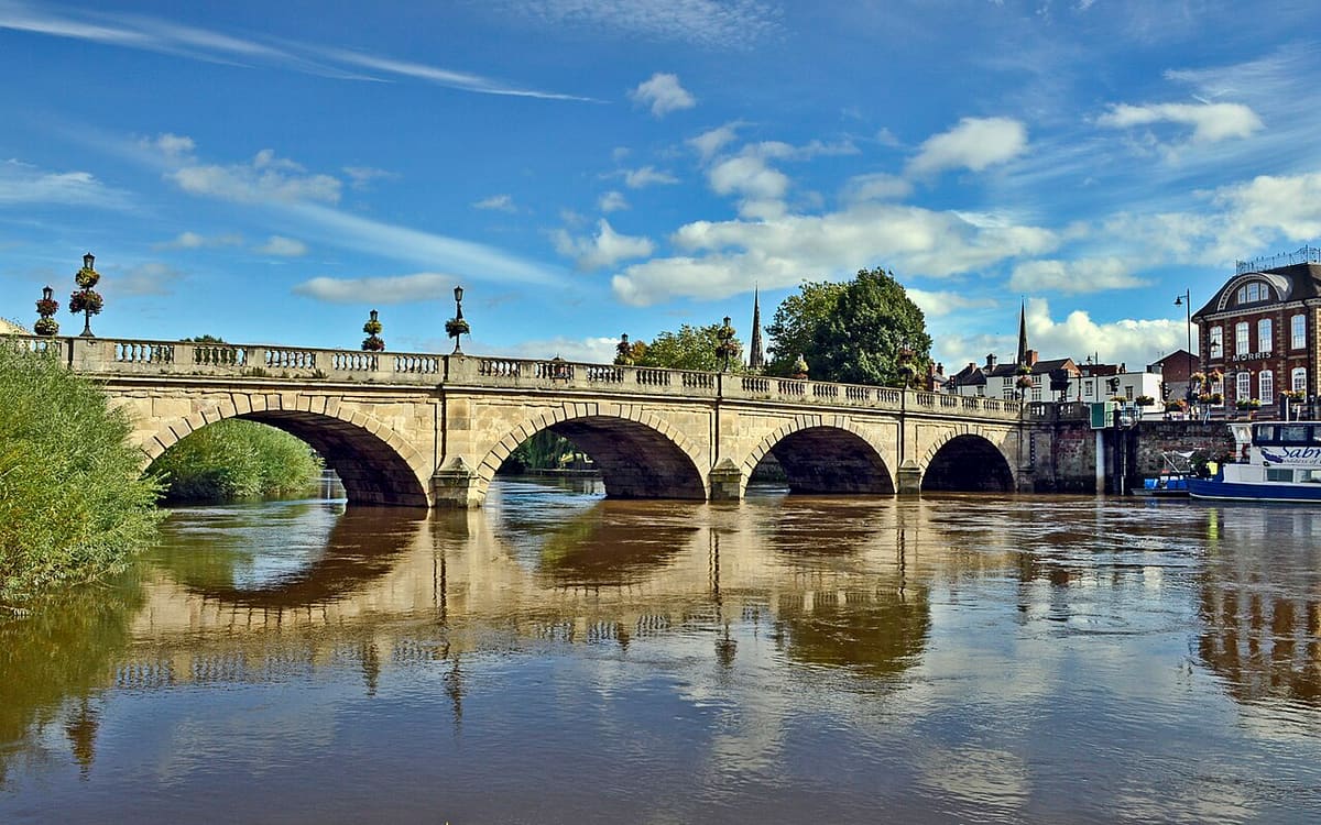
Welsh Bridge
Bridge built in 1793-1795 linking Frankwell with the town centre across the Severn.
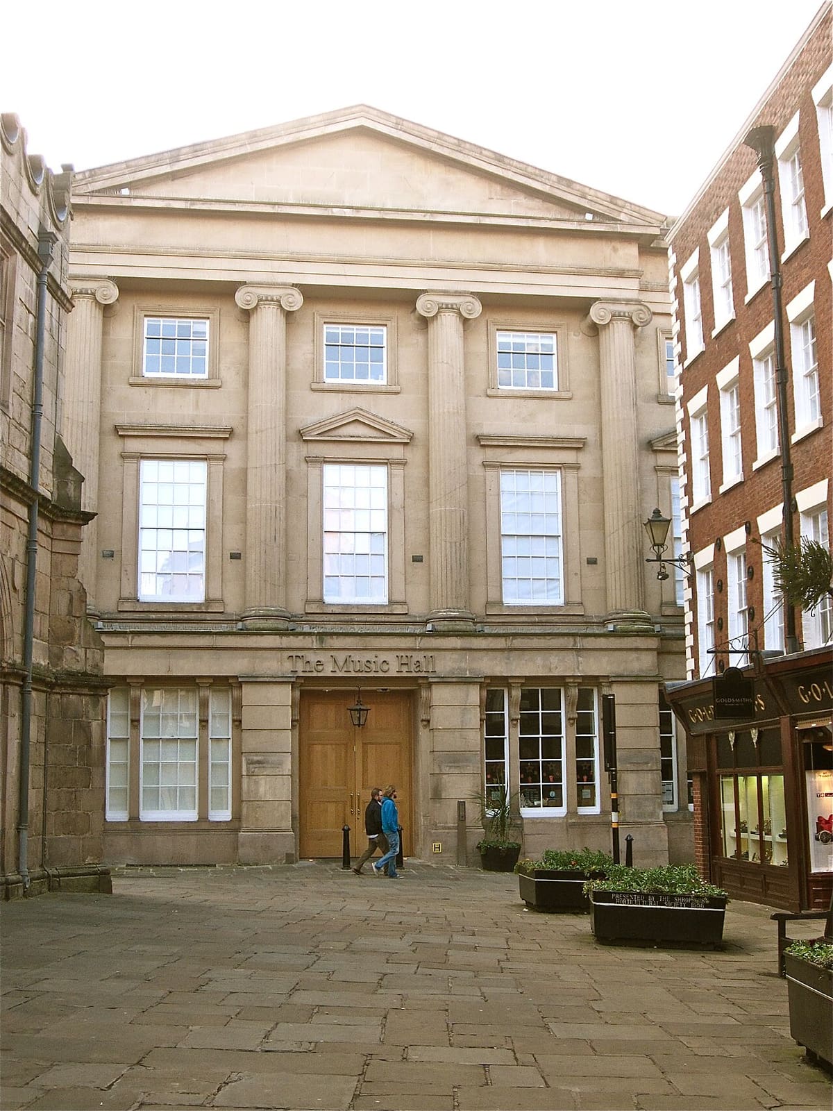
Shrewsbury Museum & Art Gallery
Free museum in Vaughan's Mansion and the Music Hall, with over a thousand objects from Shropshire's history.
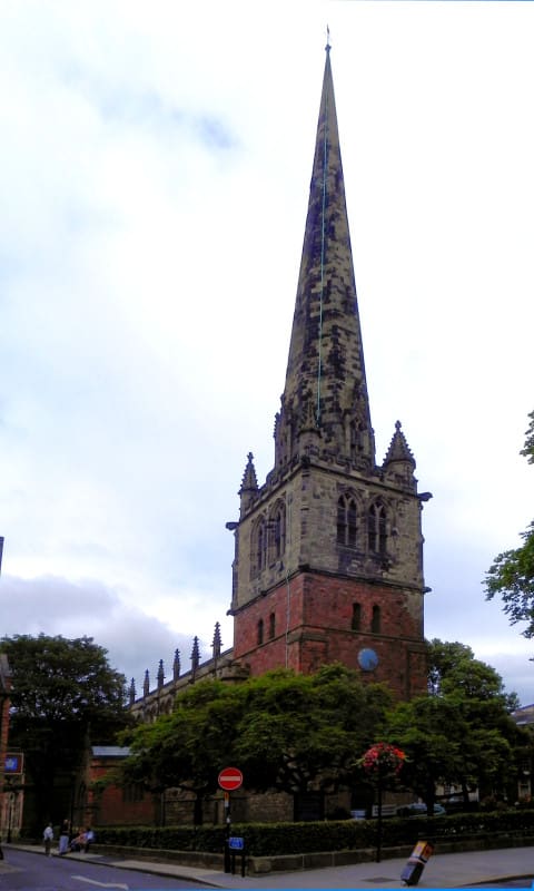
St Mary's Church
Shrewsbury's largest church, Grade I listed and in the care of the Churches Conservation Trust.
Crediti fotografici
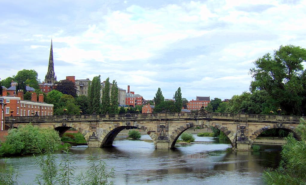
- English Bridge: Dpaajones, CC BY-SA 3.0, source
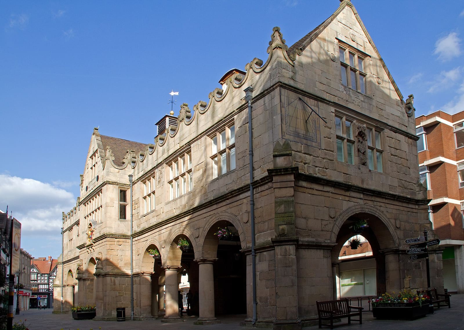
- Shrewsbury town centre (area photo): Tony Hisgett from Birmingham, UK, CC BY 2.0, source
- Welsh Bridge: Brian Clift, CC BY 2.0, source
- Shrewsbury Museum & Art Gallery: Tyssil, CC BY-SA 4.0, source
- St Mary's Church: David Dixon, CC BY-SA 2.0, source
Photos from Wikimedia Commons, used under the licences shown. All photo credits
Keep exploring Shrewsbury