 English (UK)
 English (US)
 Français
 Deutsch
 Español
 Italiano
 Nederlands
 简体中文
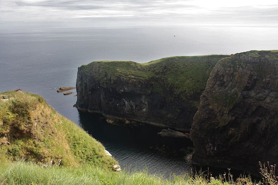
Una mini guida a
Durness, Thurso & John o' Groats: getting there
Stops, stations and how to reach Durness, Thurso & John o' Groats
Fermate e stazioni
Getting to Durness, Thurso & John o' Groats
Scegliere la fermata più vicina alla destinazione.
| Fermata o stazione | Servizi | Adatto a |
|---|---|---|
| Thurso | Treno | Northernmost station on the National Rail network, opened in 1874 and managed by ScotRail; trains continue to Wick |
| Scrabster | NorthLink ferry to Stromness | NorthLink says the crossing to Orkney takes 90 minutes |
| Gills Bay | Pentland Ferries to St Margaret's Hope | Pentland Ferries says the crossing takes just over an hour |
| A836 and A99 | Auto | The A836 follows the north coast from Tongue to John o' Groats; the A99 runs south to Wick |
Walking from nearby areas
- Ullapool, Coigach & Assynt: 104.3 km from Durness, Thurso & John o' Groats, better by public transport
Reaching North Coast 500
Informazioni ufficiali sui trasporti
Inverness is the gateway: the North Coast 500 starts and ends there, and it has the nearest airport and the main railway station. Check each operator for current times, fares and disruption, especially for ferries in bad weather.
- North Coast 500 → — Official route site with road safety and motorhome advice
- VisitScotland → — National tourist board
- The Highland Council → — Local council: roads, public toilets and local services
- Mountain Weather Information Service → — Mountain forecasts for the Northwest Highlands
- Scottish Outdoor Access Code → — Guidance on responsible access and wild camping
Orari, tariffe e disservizi cambiano: per informazioni in tempo reale consultare le pagine dei gestori qui sopra.
Pianifichi qui il tragitto
Enter your starting point and Google Maps will show routes to Durness, Thurso & John o' Groats. Public transport is selected; change it on the map. Check operator sites for live disruption.
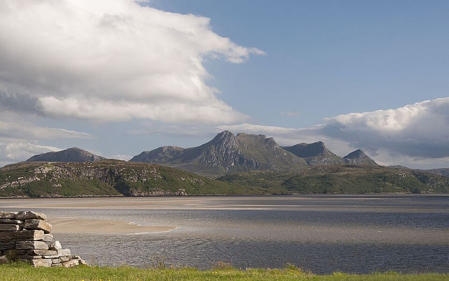
While you are here
Things to see in Durness, Thurso & John o' Groats
A few of the sights in the area. The Things to do page lists them all, with directions and official links.
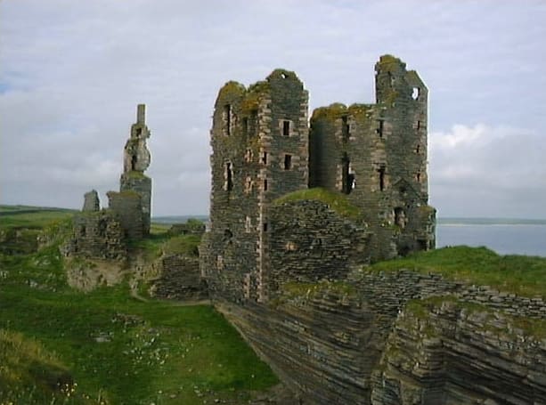
Castle Sinclair Girnigoe
Ruins of two castles, 15th-century Girnigoe and 17th-century Sinclair, on the cliffs about 3 miles north of Wick.
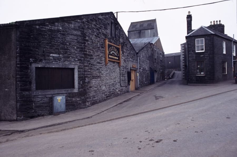
Pulteney Distillery
Distillery in the Pulteneytown area of Wick that makes Old Pulteney single malt and has a visitor centre on Huddart Street.
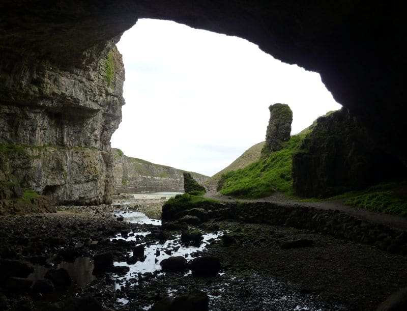
Smoo Cave
Large combined sea cave and freshwater cave at Durness, fed by the Allt Smoo stream; guided tours run in season.
Crediti fotografici
- Whaligoe Steps: Postdlf, CC BY-SA 3.0, source
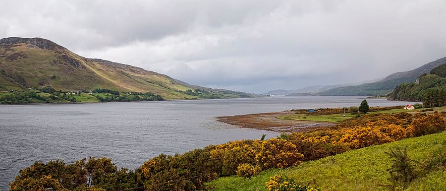
- Durness, Thurso & John o' Groats (area photo): Paul Hermans (derivative work: Hogweard), CC BY-SA 3.0, source
- Castle Sinclair Girnigoe: Dorcas Sinclair, modified by Sir Gawain, CC BY-SA 2.0, source
- Pulteney Distillery: K. Schwebke at de.wikipedia, CC BY-SA 3.0 de, source
- Smoo Cave: Bubobubo2, CC BY-SA 3.0, source
- Ullapool, Coigach & Assynt: Paul Hermans, CC BY-SA 3.0, source
Photos from Wikimedia Commons, used under the licences shown. All photo credits
Keep exploring North Coast 500