 English (UK)
 English (US)
 Français
 Deutsch
 Español
 Italiano
 Nederlands
 简体中文
Una mini guida a
Uphill and downhill Lincoln: getting there
Stops, stations and how to reach Uphill and downhill Lincoln
Fermate e stazioni
Getting to Uphill and downhill Lincoln
Scegliere la fermata più vicina alla destinazione.
| Fermata o stazione | Servizi | Adatto a |
|---|---|---|
| Lincoln Central station | LNER, East Midlands Railway and Northern | Direct trains from London, Nottingham, Sheffield, Doncaster and Peterborough |
| Lincoln bus station | Mostly Stagecoach | Opposite the railway station, beside Lincoln Central car park |
Within walking range
Stations near Uphill and downhill Lincoln
Stations and stops mapped in OpenStreetMap within 2.5 km of the centre of Uphill and downhill Lincoln, nearest first. Distances are straight lines; walking times assume 5 km/h and are a minimum.
| Station or stop | Tipo | Distanza | A piedi |
|---|---|---|---|
| Lincoln | Rail station (East Midlands Railway) | 700 m | about 8 min |
Station data: © OpenStreetMap contributors (ODbL), read 3 November 2026. Check step-free access with the operator before you travel.
Reaching Lincoln
Informazioni ufficiali sui trasporti
Lincoln Central station is south of the city centre, opposite the bus station. Visit Lincoln lists direct LNER, East Midlands Railway and Northern services to London, Nottingham, Leicester, Sheffield, Doncaster, Peterborough and Gainsborough. Check operators for times and fares.
- Visit Lincoln → — official tourist information, run by the City of Lincoln Council
- Lincoln Cathedral → — visiting, tours and services
- Lincoln Castle → — Magna Carta, Victorian prison and wall walk
Orari, tariffe e disservizi cambiano: per informazioni in tempo reale consultare le pagine dei gestori qui sopra.
Pianifichi qui il tragitto
Enter your starting point and Google Maps will show routes to Uphill and downhill Lincoln. Public transport is selected; change it on the map. Check operator sites for live disruption.
While you are here
Things to see in Uphill and downhill Lincoln
A few of the sights in the area. The Things to do page lists them all, with directions and official links.
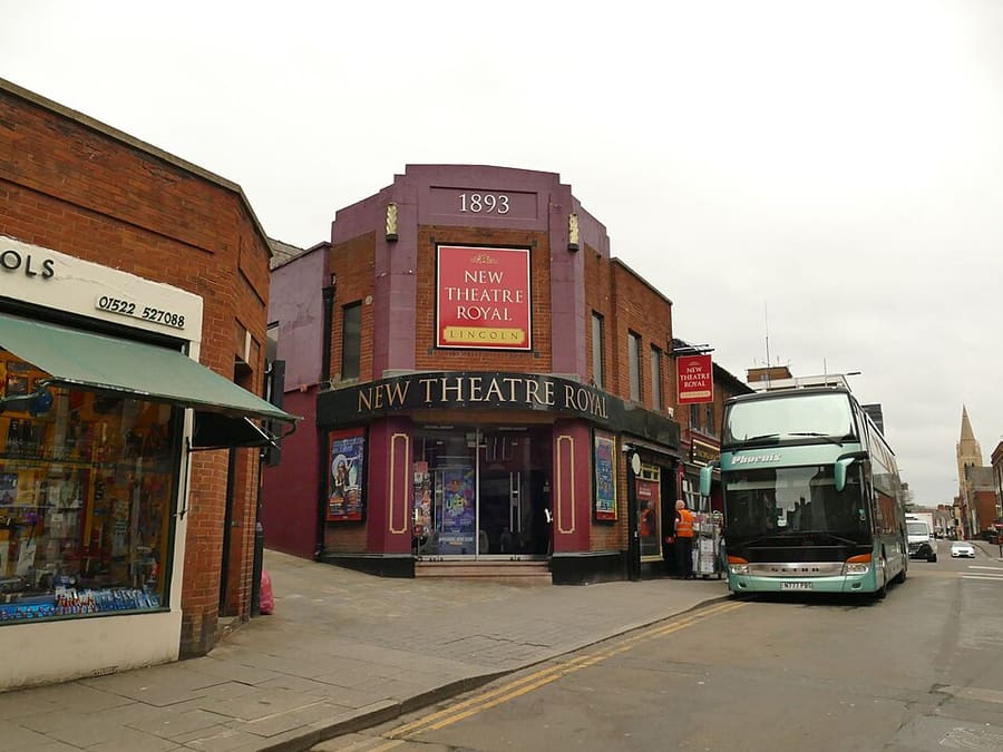
New Theatre Royal Lincoln
Theatre built in 1893 to designs by Bertie Crewe and W. G. R. Sprague, after fire destroyed the earlier Theatre Royal.
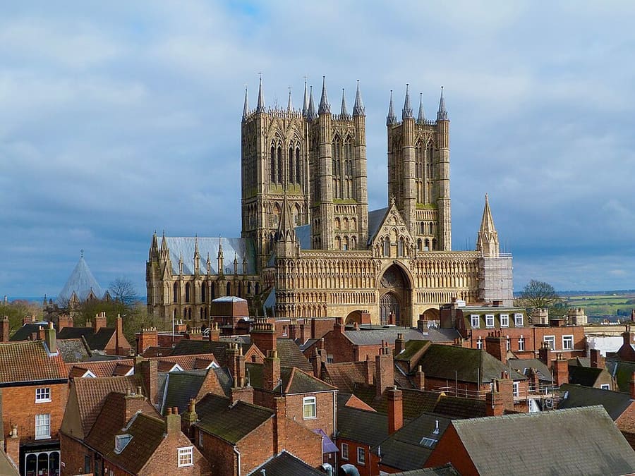
Lincoln Cathedral
Cathedral begun in 1072 and rebuilt after an earthquake in 1185; for over 200 years it was the tallest building in the world.
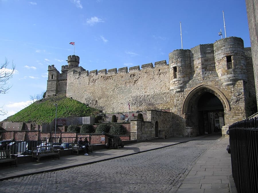
Lincoln Castle
Norman castle on a Roman fortress site, with two mottes, a Victorian prison and an original 1215 Magna Carta; the grounds are free.
Crediti fotografici
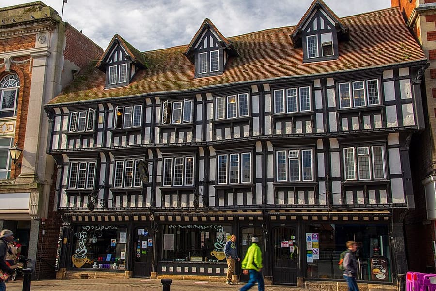
- High Bridge: Oliver Mills, CC BY-SA 2.0, source
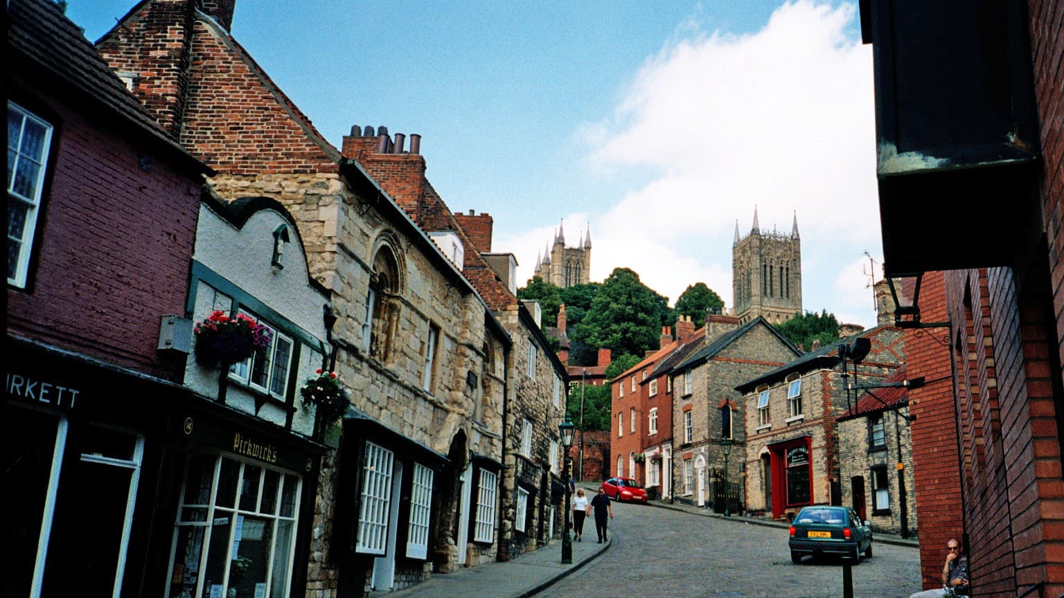
- Uphill and downhill Lincoln (area photo): The original uploader was Daviddariusbijan at English Wikipedia., CC BY 2.0, source
- New Theatre Royal Lincoln: Stephen Craven, CC BY-SA 2.0, source
- Lincoln Cathedral: DrMoschi, CC BY-SA 4.0, source
- Lincoln Castle: Dmitrij M, CC BY 3.0, source
Photos from Wikimedia Commons, used under the licences shown. All photo credits
Keep exploring Lincoln