 English (UK)
 English (US)
 Français
 Deutsch
 Español
 Italiano
 Nederlands
 简体中文
Porto
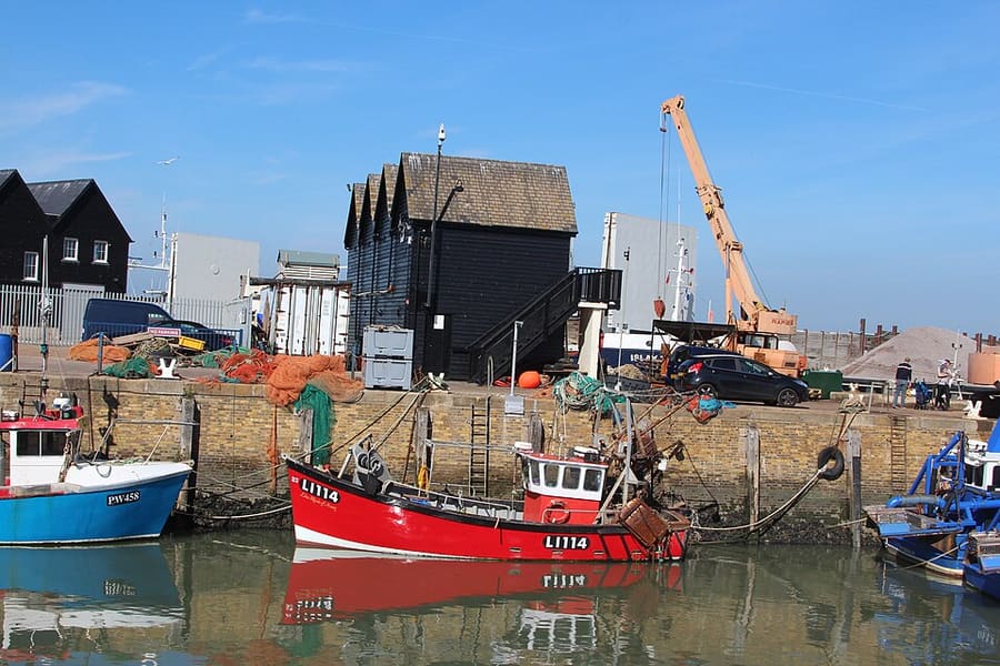
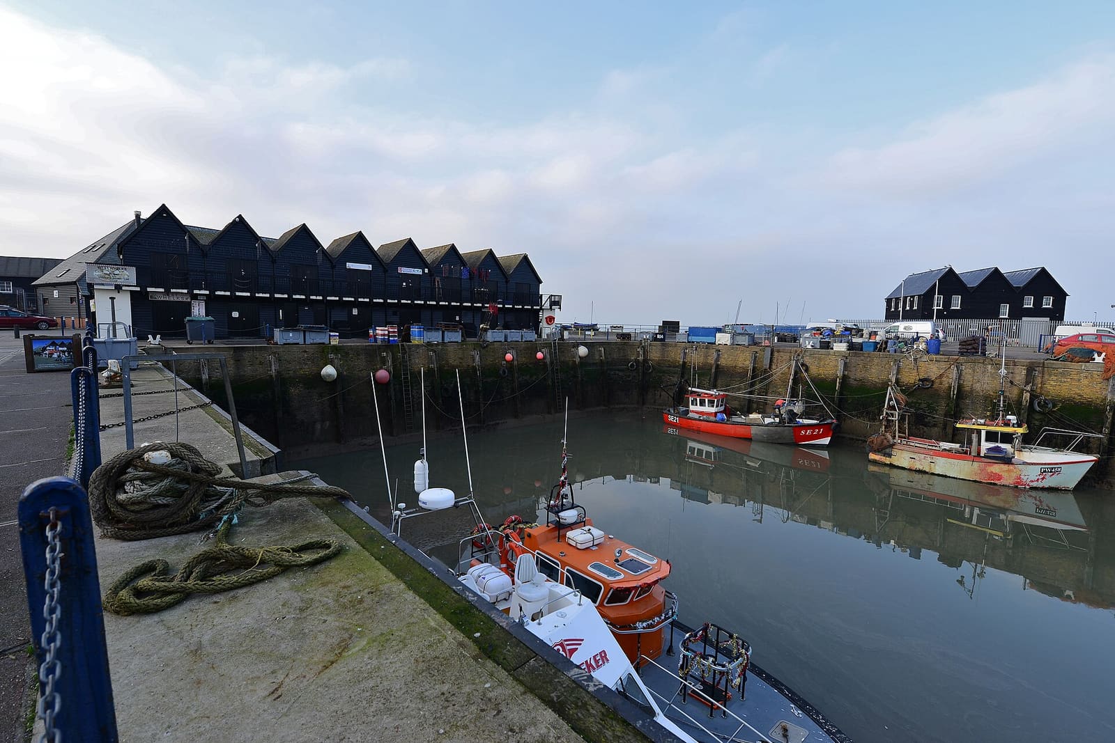
Whitstable Harbour
Working harbour with fishing boats, food and gift huts, the South Quay Shed and boat trips.
Una mini guida a
Oysters, a working harbour and a long shingle beach facing the Thames Estuary
Benvenuti nella zona
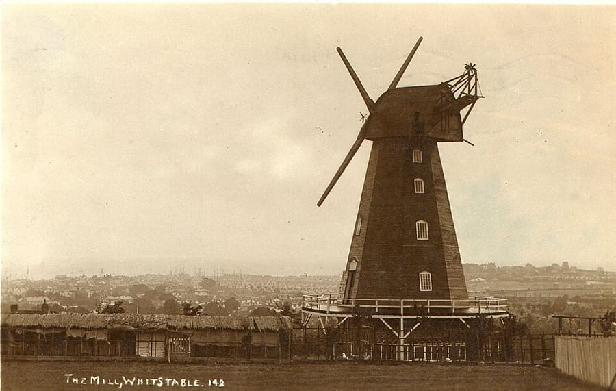
Whitstable is a small town on the north Kent coast, about five miles north of Canterbury, where the Swale meets the Thames Estuary. It is known for its oysters, its working harbour and a shingle beach lined with weatherboarded houses and huts, with Tankerton's grassy slopes and beach huts to the east.
Harbour Street and the High Street carry most of the independent shops, galleries and places to eat, and the harbour has huts selling food and drink, the South Quay Shed and boat trips. Visit Canterbury puts the town about 15 minutes from Canterbury by car; the station is a short walk from the beach.
Da non perdere
Con poche ore a disposizione, questi sono ottimi punti di partenza.
Working harbour with fishing boats, food and gift huts, the South Quay Shed and boat trips.
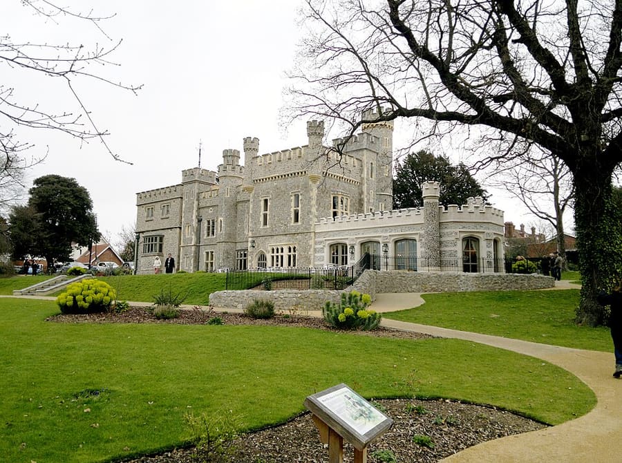
Castellated manor house, also called Tankerton Castle, between the harbour and Tankerton; Visit Canterbury suggests it for afternoon tea.
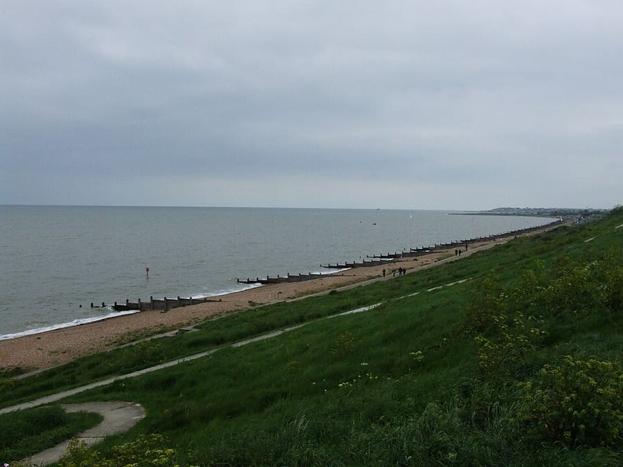
Grassy slopes above the beach huts at Tankerton, a protected wildlife site with views over the Street.
Heritage centre on the town's oyster trade and diving history; it also displays Invicta, an early steam locomotive.
Indicazioni Report a problem with Whitstable Museum and Gallery
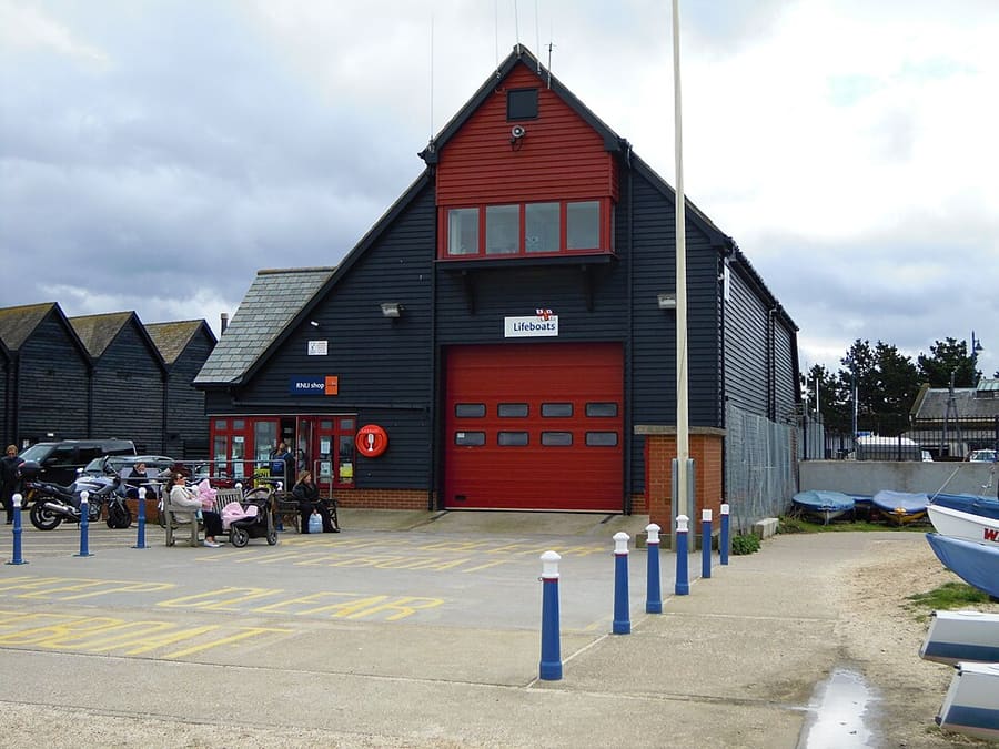
RNLI lifeboat station at the harbour.
Indicazioni Report a problem with Whitstable Lifeboat Station
Church of England church, one of five in the Whitstable Team Ministry.
Come orientarsi
The map shows Whitstable and the streets around it. The Getting there page lists nearby stops and stations.
Consigli da insider
The Street is a natural shingle bank running about half a mile out to sea off Tankerton; it is best seen from Tankerton Slopes. Check tide times before walking on it.
Visit Canterbury says the Sportsman at Seasalter needs booking well in advance; the busiest harbour restaurants fill up on summer weekends.
The seafront path leads east from the harbour past Whitstable Castle's gardens to the Tankerton slopes and beach huts.
Whitstable is one stop beyond Canterbury on the line from London, so the two fit into one day.
Consigli della redazione di Britlens
Canterbury & Kent
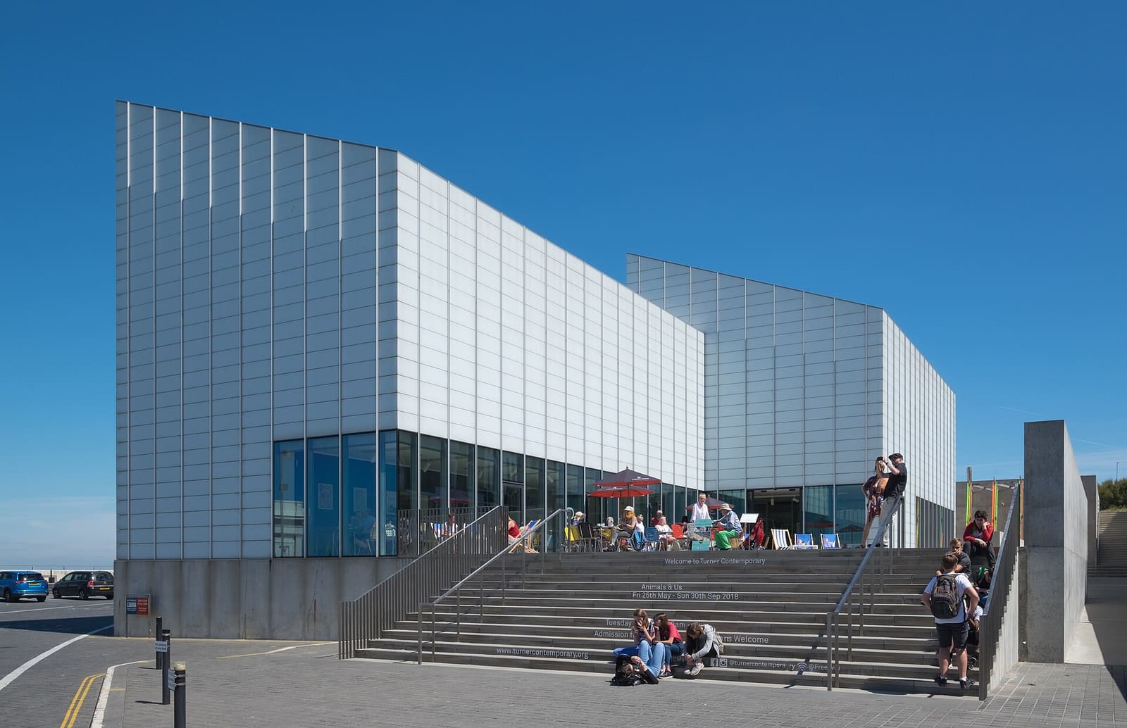
Sandy bays, Turner Contemporary, Margate Old Town and Dickens's Broadstairs
Apri la mini guida →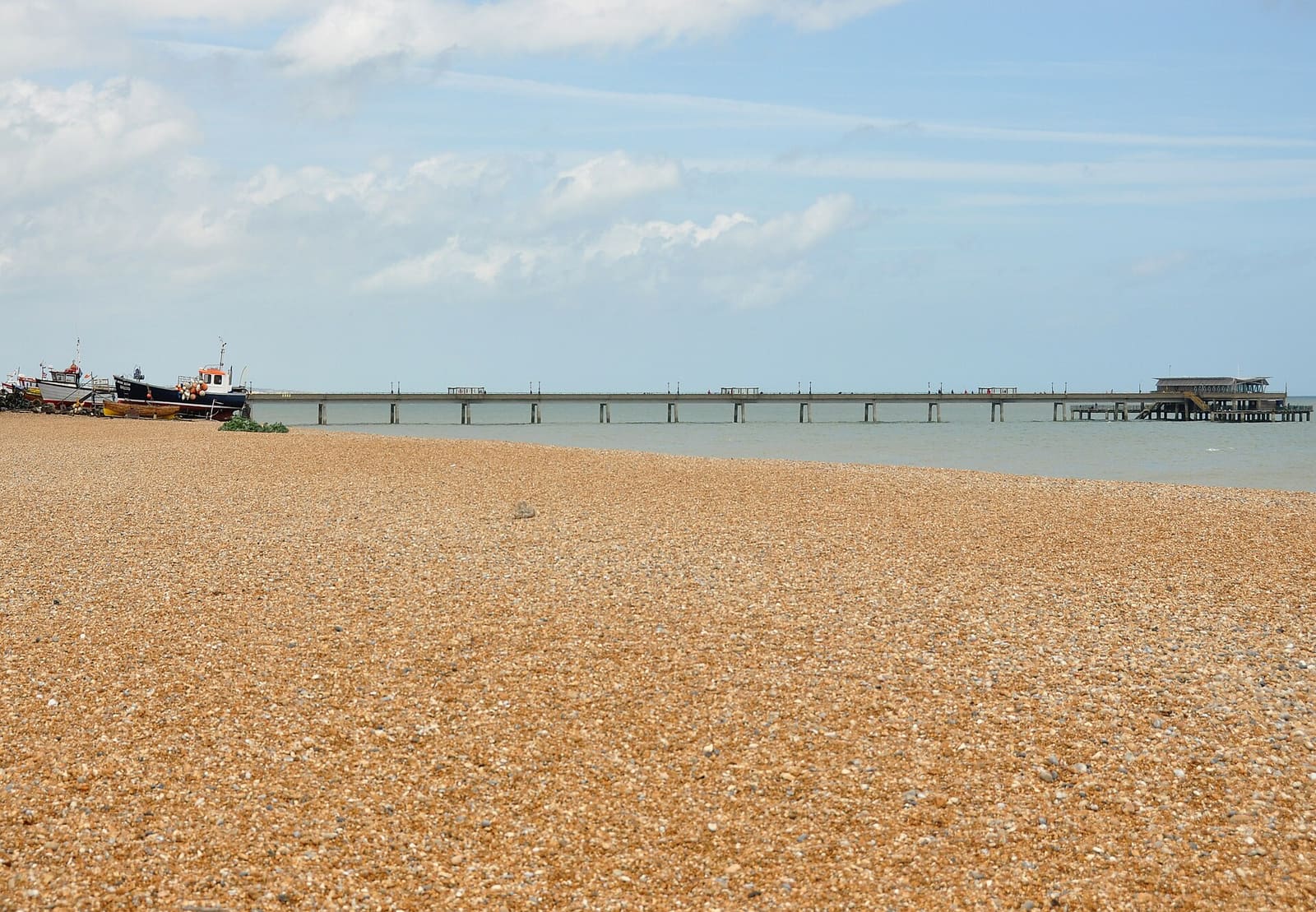
A shingle seafront, a pier and two Tudor castles
Apri la mini guida →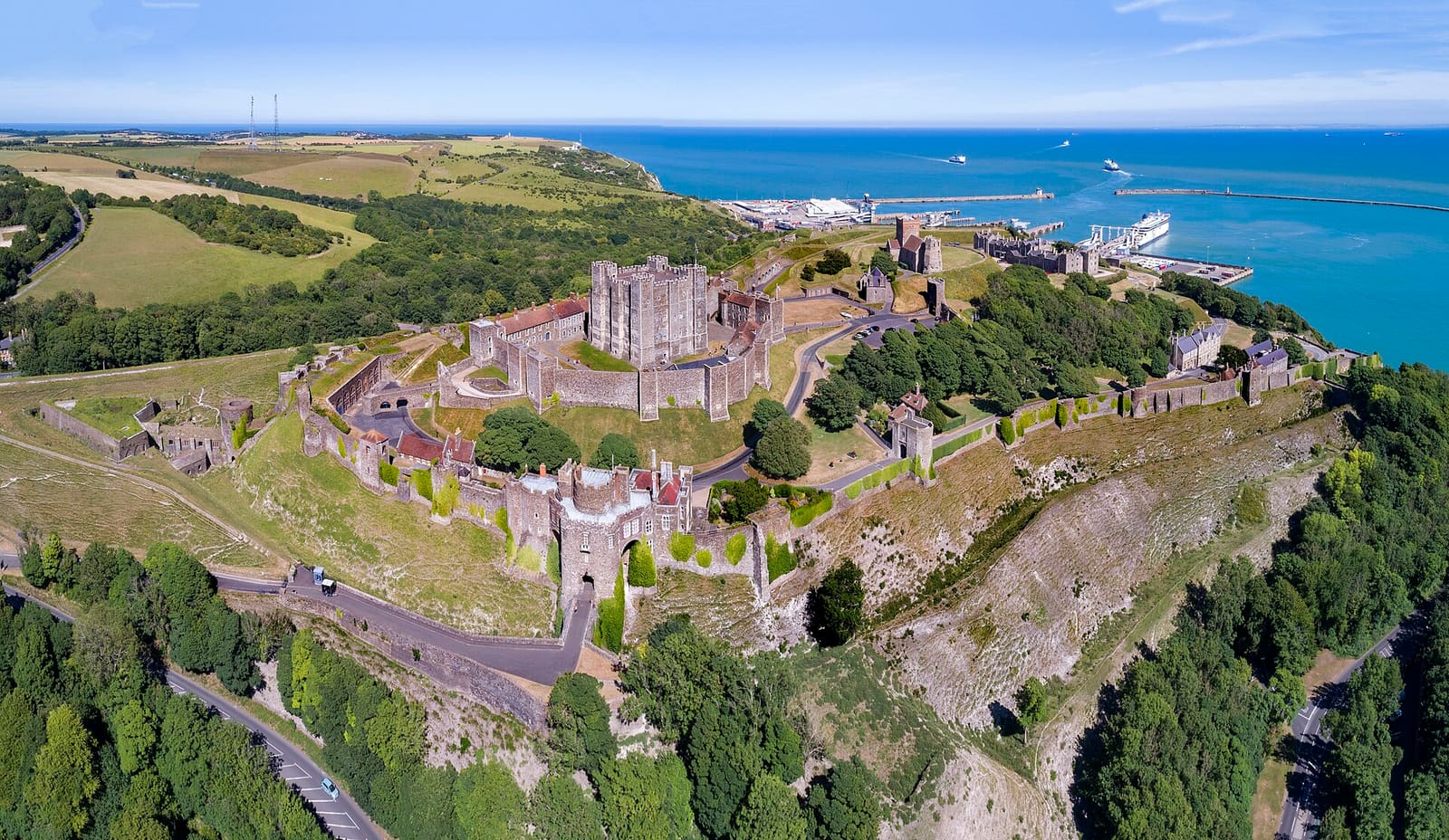
Dover Castle, the white cliffs and the busiest ferry port to France
Apri la mini guida →Photos from Wikimedia Commons, used under the licences shown. All photo credits
Keep exploring Canterbury & Kent