 English (UK)
 English (US)
 Français
 Deutsch
 Español
 Italiano
 Nederlands
 简体中文
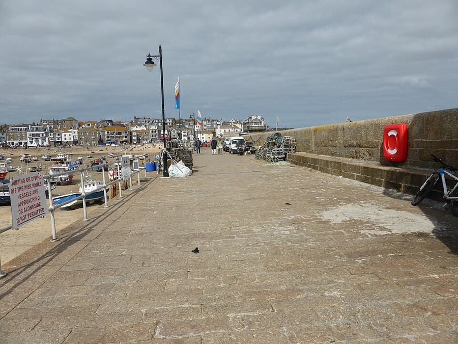
Una mini guida a
St Ives & West Penwith: come arrivare
Fermate, stazioni e come raggiungere St Ives & West Penwith
Fermate e stazioni
Come arrivare a St Ives & West Penwith
Scegliere la fermata più vicina alla destinazione.
| Fermata o stazione | Servizi | Adatto a |
|---|---|---|
| St Ives | GWR, St Ives Bay Line | Capolinea del ramo di 4.25 miglia da St Erth, che ha cinque stazioni in tutto |
| St Erth | GWR, Cornish Main Line | Nodo per la diramazione di St Ives; Visit Cornwall segnala qui un parcheggio di interscambio |
| Penzance | GWR, CrossCountry, Night Riviera | Capolinea della Cornish Main Line, il capolinea di linea principale più vicino a St Ives |
| Autobus per Zennor e Penwith | Transport for Cornwall | Consulti il pianificatore di viaggio dell’operatore per tratte e orari aggiornati |
Within walking range
Stations near St Ives & West Penwith
Stations and stops mapped in OpenStreetMap within 2.5 km of the centre of St Ives & West Penwith, nearest first. Distances are straight lines; walking times assume 5 km/h and are a minimum.
| Station or stop | Tipo | Distanza | A piedi |
|---|---|---|---|
| Carbis Bay | Stazione | 2.0 km | about 23 min |
Station data: © OpenStreetMap contributors (ODbL), read 25 October 2026. Check step-free access with the operator before you travel.
Walking from nearby areas
- Penzance, Mousehole & Land’s End: 14.7 km from St Ives & West Penwith, better by public transport
- Falmouth & the Helford: 29.9 km from St Ives & West Penwith, better by public transport
- Newquay & the North Coast: 36.6 km from St Ives & West Penwith, better by public transport
- Padstow & the Camel Estuary: 53.2 km from St Ives & West Penwith, better by public transport
Come raggiungere la Cornovaglia
Informazioni ufficiali sui trasporti
La linea ferroviaria principale della Cornovaglia termina a Penzance, c'è un aeroporto a Newquay e gli autobus a lunga percorrenza arrivano fino a Penzance. Verificare sempre con il gestore orari, tariffe e disservizi aggiornati.
- Visit Cornwall → — il sito turistico ufficiale della contea
- Visit Cornwall: viaggi e trasporti → — treno, auto, aereo, autobus a lunga percorrenza, autobus e traghetto
- Visit Cornwall: sicurezza in spiaggia → — maree, correnti e bagnini
- Great Western Railway: treni per la Cornovaglia → — linea principale e diramazioni
- Great Western Railway: Night Riviera Sleeper → — orari e cabine del treno notturno
- National Rail Enquiries → — orari e tariffe dei treni
- Transport for Cornwall → — orari e biglietti degli autobus
- Cornwall Airport Newquay → — voli e proseguimento del viaggio
- National Express → — autobus a lunga percorrenza per la Cornovaglia
- Isles of Scilly Travel → — traghetto e Skybus per le Isles of Scilly
Orari, tariffe e disservizi cambiano: per informazioni in tempo reale consultare le pagine dei gestori qui sopra.
Pianifichi qui il tragitto
Inserisca il punto di partenza e Google Maps mostrerà i percorsi per St Ives & West Penwith. Il trasporto pubblico è preselezionato; si può cambiare sulla mappa. Per eventuali disagi in tempo reale, controllare i siti degli operatori.
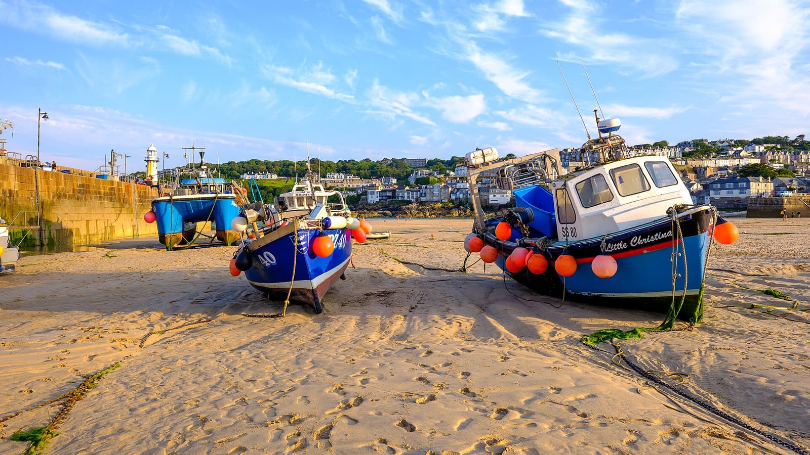
While you are here
Things to see in St Ives & West Penwith
A few of the sights in the area. The Things to do page lists them all, with directions and official links.
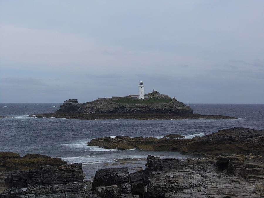
Godrevy Lighthouse
Faro costruito tra il 1858 e il 1859 su Godrevy Island, a circa 300 metri da Godrevy Head, che segnala la scogliera di Stones.
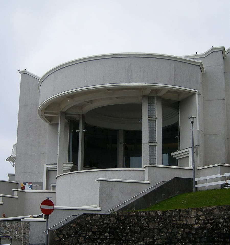
Tate St Ives
Galleria di arte britannica moderna legata alla zona di St Ives. La Tate gestisce anche il Barbara Hepworth Museum in città.
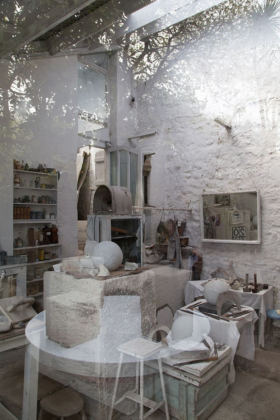
Barbara Hepworth Museum and Sculpture Garden
Studio e giardino in cui la scultrice Barbara Hepworth visse e lavorò dal 1949 fino alla morte nel 1975, conservati quasi come li lasciò.
Cornovaglia
More areas to explore
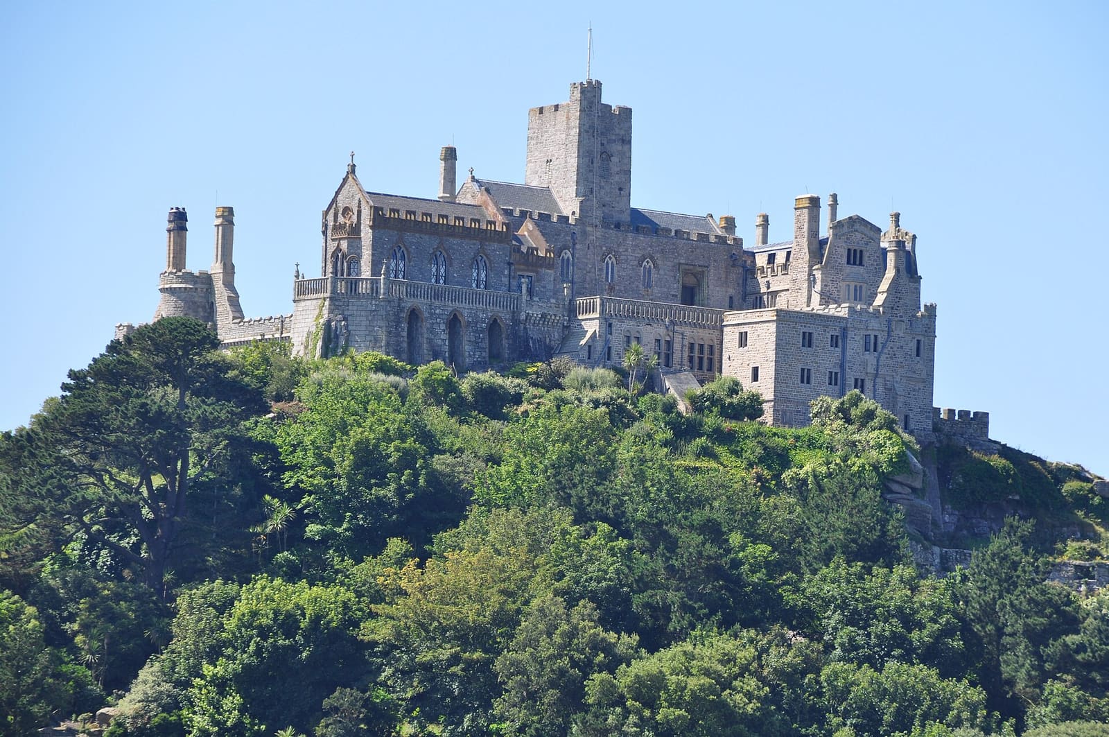
Penzance, Mousehole & Land’s End
Una cittadina con mercato, porti di pescatori e l'estremità sud-occidentale della Gran Bretagna
Apri la mini guida →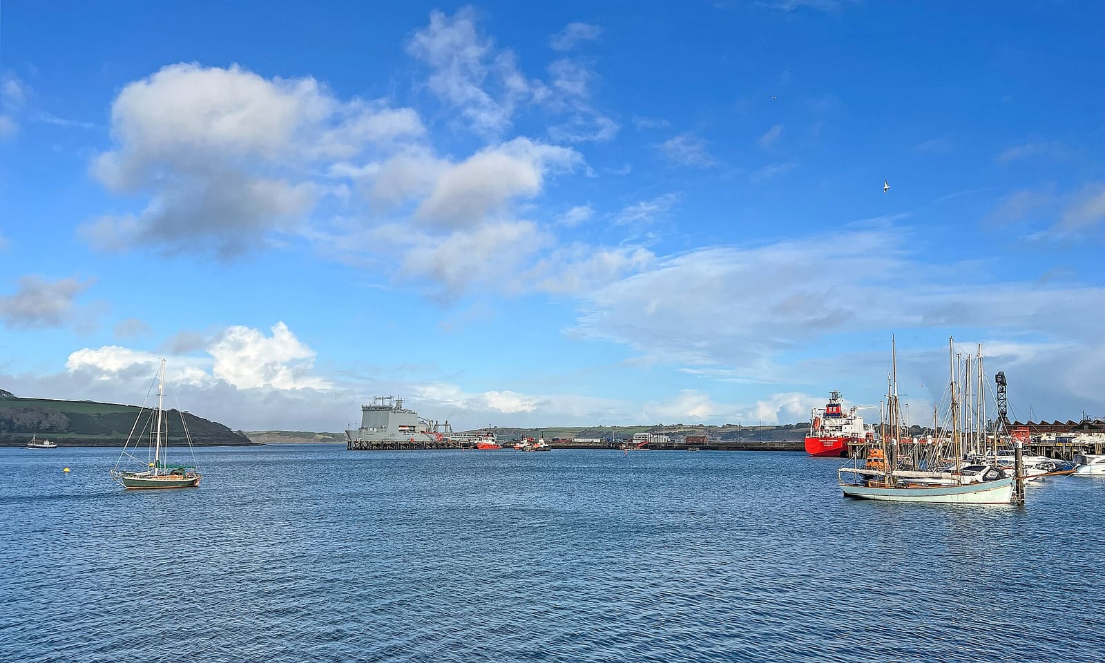
Falmouth & the Helford
Un porto d'acque profonde, due castelli Tudor e le insenature dell'Helford
Apri la mini guida →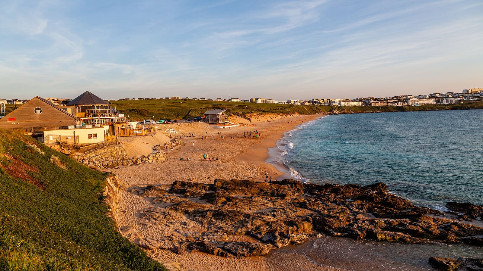
Newquay & the North Coast
Spiagge per il surf, promontori e attrazioni per famiglie sulla costa atlantica
Apri la mini guida →Crediti fotografici
- Smeaton's Pier: David Medcalf, CC BY-SA 2.0, source
- St Ives & West Penwith (area photo): ArildV, CC BY-SA 4.0, source
- Godrevy Lighthouse: Stevekraken, CC BY-SA 4.0, source
- Tate St Ives: flickr user "Steve Parker", CC BY 2.0, source
- Barbara Hepworth Museum and Sculpture Garden: Tom Parnell, CC BY-SA 2.0, source
- Penzance, Mousehole & Land’s End: Lewis Clarke, CC BY-SA 2.0, source
- Falmouth & the Helford: Tim Green, CC BY 2.0, source
- Newquay & the North Coast: Otto Domes, CC BY-SA 4.0, source
- Padstow & the Camel Estuary: Derek Harper, CC BY-SA 2.0, source
- Fowey, Polperro & the south-east coast: Marika Reinholds, CC BY-SA 2.0, source
Photos from Wikimedia Commons, used under the licences shown. All photo credits
Continui a esplorare la Cornovaglia