 English (UK)
 English (US)
 Français
 Deutsch
 Español
 Italiano
 Nederlands
 简体中文
Coast paths
Wales Coast Path
Opened in 2012, the Wales Coast Path follows the whole coastline of Wales. It joins older paths in Anglesey, Llŷn, Ceredigion and Pembrokeshire into one continuous, waymarked route.
Facts checked 2 November 2026 against the sources listed at the end. Britlens is independent: see our editorial policy.
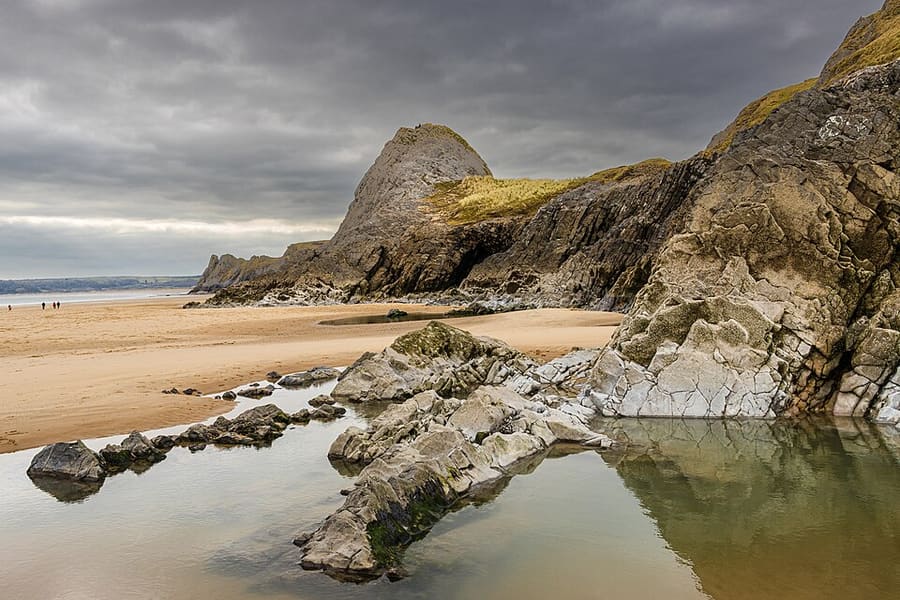

The path at a glance
| Detail | |
|---|---|
| Lunghezza | 870 miles (1,400 km) [1] |
| Inaugurazione | 5 mag 2012 [1] |
| Ends | On the border with England on the outskirts of Chester in the north, and in Chepstow, near the bandstand, in the south [1] |
| Halfway | New Quay, Ceredigion, marked by a sculpture [1] |
| Cost and permits | Free to use; no permit or pass needed [1] |
| Opening | Open all year; if a section has to close there is a diversion [1] |
It is not a National Trail, though it is maintained to the same standard. It is managed by Natural Resources Wales with sixteen coastal councils and two national parks. [1] With Offa's Dyke Path along the border, you can walk right round Wales: about 1,047 miles (1,685 km). [1]
Which way it goes
From the north, the path follows the Dee estuary and the north Wales coast past Conwy, crosses the Menai Strait to go round Anglesey, then goes round the Llŷn Peninsula and down Cardigan Bay past Harlech, Aberystwyth and Cardigan. It continues through Pembrokeshire to Tenby, round the Gower to Swansea and along Cardiff Bay to Chepstow. [3]
Older paths that now form part of it include the Pembrokeshire Coast Path, the Ceredigion coast path, the Isle of Anglesey Coastal Path and the Llŷn coastal path. [1]
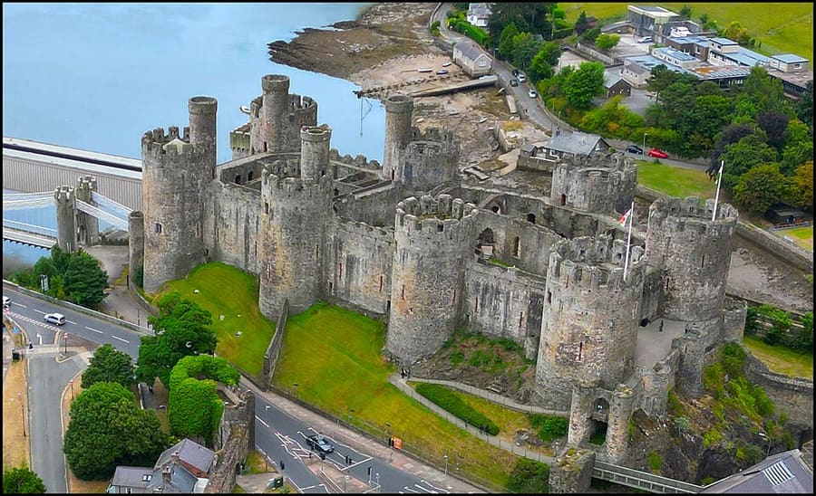

The whole path is open to walkers, and some sections are also suitable for cyclists, pushchairs, people with restricted mobility and horse riders. [1]
Planning a walk
- The official site publishes distance tables between over 200 places on the path, and a current list of temporary diversions. [2]
- Parts of the path can be cut off by very high tides. [2]
- The route is marked on Ordnance Survey maps. [1]
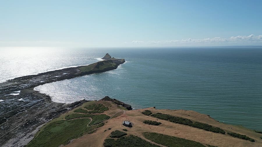

Good bases for day walks include Conwy and Llandudno, the Pembrokeshire coast, Gower and Swansea and Cardiff. The busiest single section has its own page: the Pembrokeshire Coast Path.
Quick answers
Do I need a permit to walk the Wales Coast Path?
No. The path is free and you do not need a permit or pass. [1]
Where does the Wales Coast Path start?
The official ends are on the border near Chester in the north and at Chepstow in the south. [1]
Guide correlate
Fonti
Read on the dates shown. Rules, dates and services change: check the source before you rely on it. Pages marked “not read” refused automated access, so we state nothing from them.
- About the path (opens in new tab), Wales Coast Path (Natural Resources Wales), read 2 November 2026
- Plan your visit (opens in new tab), Wales Coast Path, read 2 November 2026
- Wales Coast Path (opens in new tab), Wikipedia, read 2 November 2026