 English (UK)
 English (US)
 Français
 Deutsch
 Español
 Italiano
 Nederlands
 简体中文
Square
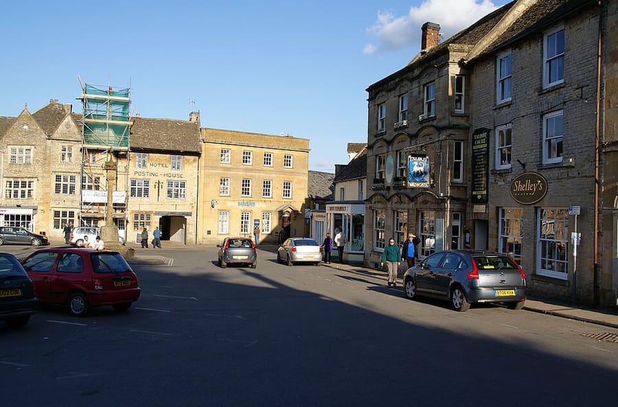
Market Square
Market place where charter fairs were held; most surrounding buildings date from the 18th and 19th centuries.
A mini guide to
A hilltop market town around a large square where the Royalists surrendered in 1646
 1 / 2
Welcome to the area
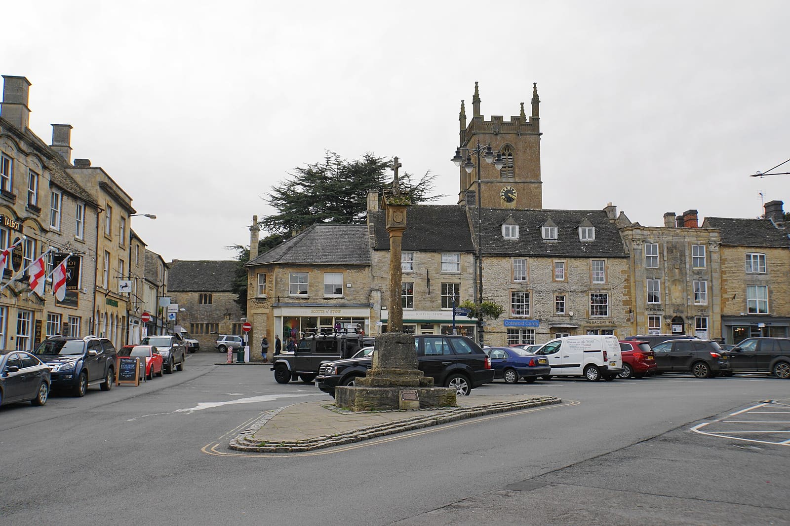
Stow-on-the-Wold stands on a hill about 244 metres high, with the Roman Fosse Way, now the A429, running through it. Its large Market Square has held charter fairs since 1330 and is still the centre of town.
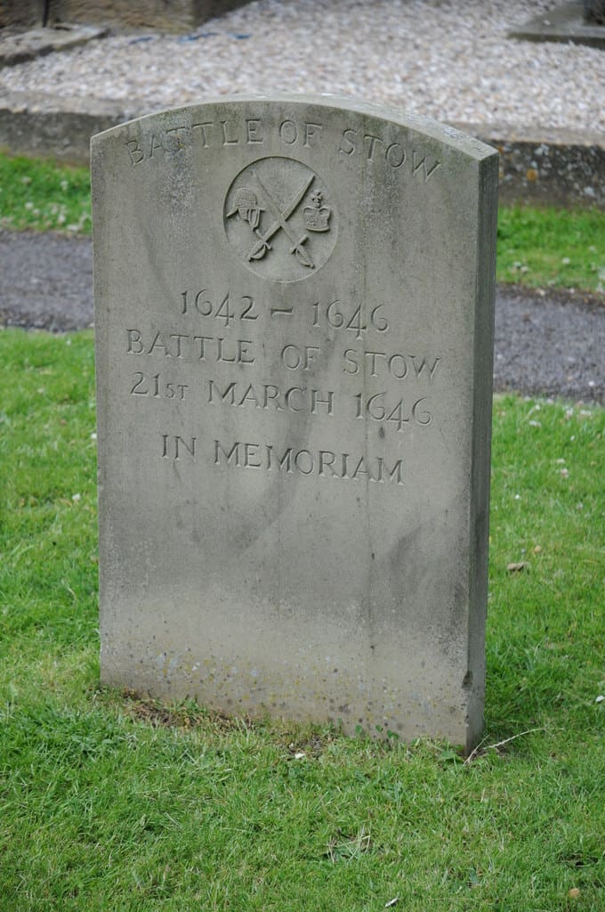
St Edward's church, the medieval market cross and the 18th and 19th-century buildings around the Square are all within a few minutes' walk. In 1646 the Royalists surrendered here at the end of the Battle of Stow.
Highlights
If you only have a few hours, these are good places to begin.
Market place where charter fairs were held; most surrounding buildings date from the 18th and 19th centuries.
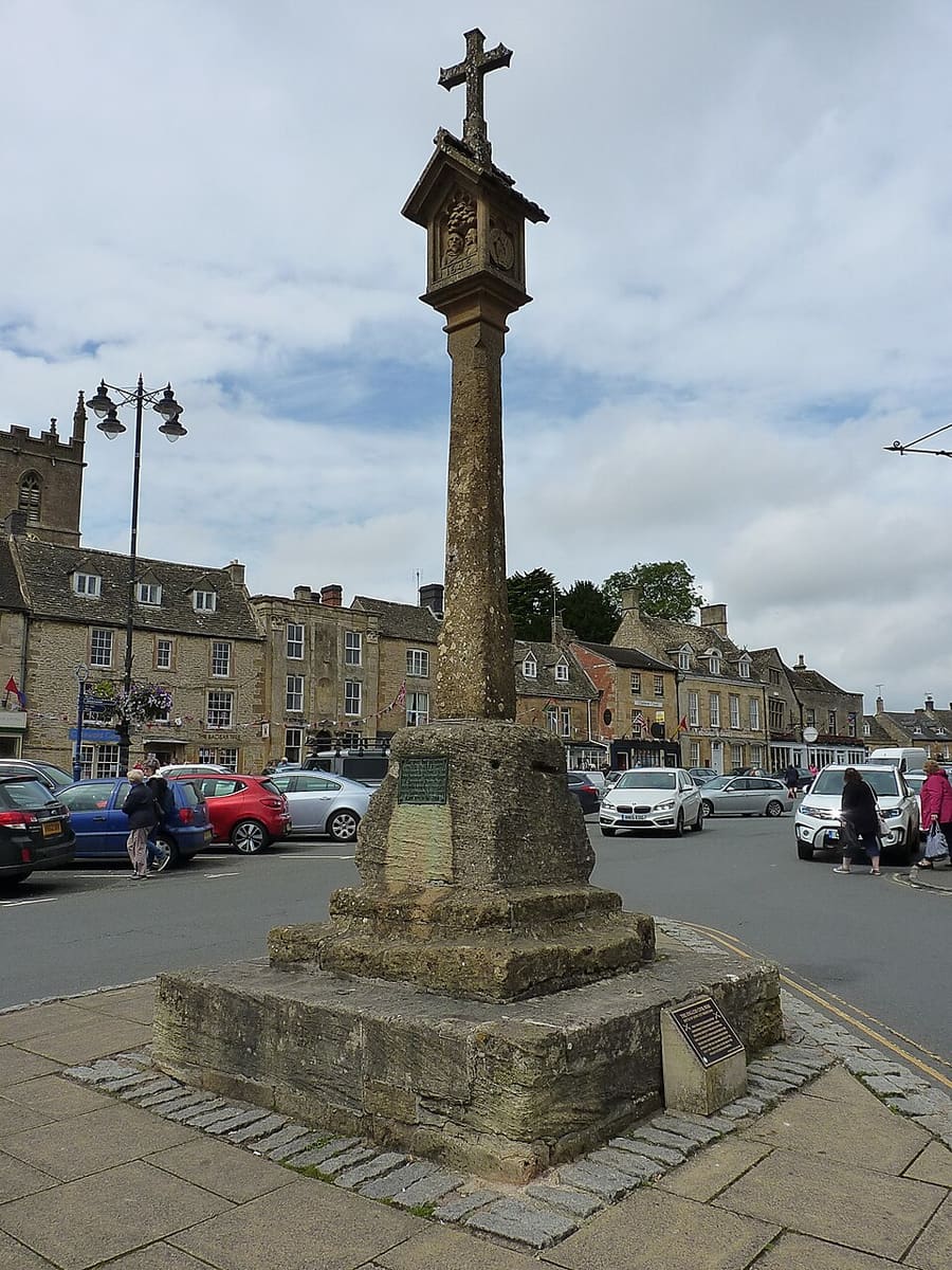
Late-medieval cross in the Market Square, restored in 1878, where Stow's market and fairs were held.
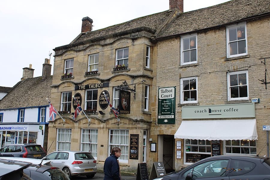
Grade II listed building of about 1714 on the Square, built as a coaching inn and used as the corn exchange from the 1840s.
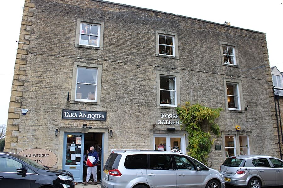
Commercial gallery on the Square showing contemporary art.
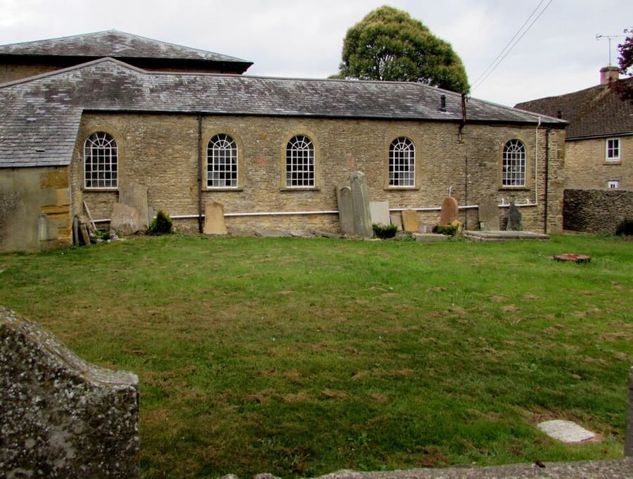
Grade II listed chapel of 1852 on the site of an earlier meeting house, behind houses on Sheep Street.
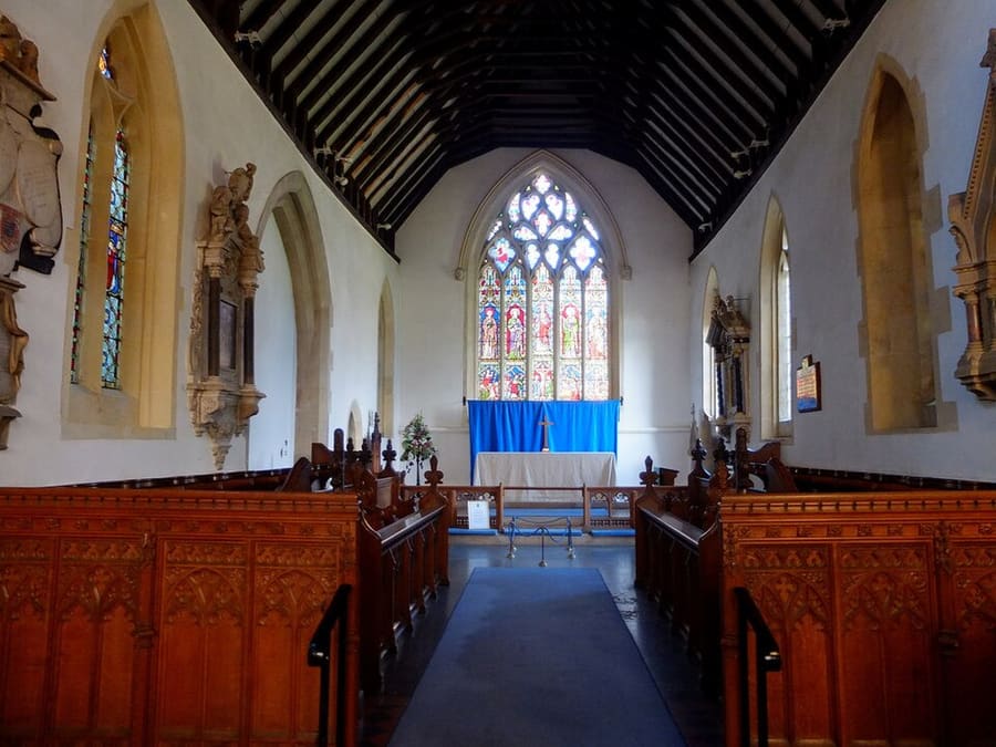
Parish church with yew trees at its north porch; hundreds of prisoners were held here after the Battle of Stow in 1646.
Find your way
The map shows Stow-on-the-Wold and the streets around it. The Getting there page lists nearby stops and stations.
Insider tips
The town council says coaches drop off outside the police station on the High Street, with a strict 10-minute limit, and park at the Maugersbury Road coach park.
Stow's council car park is on Maugersbury Road. Cotswold District Council car parks take PayByPhone or contactless card payment, not cash.
The council lists events such as the farmers' market. Fair days (May and October) are reported to close local pubs and shops, so check before travelling.
The council points visitors to stowinfo.co.uk for local information, and publishes a town leaflet with a map.
Tips from the Britlens editors
The Cotswolds
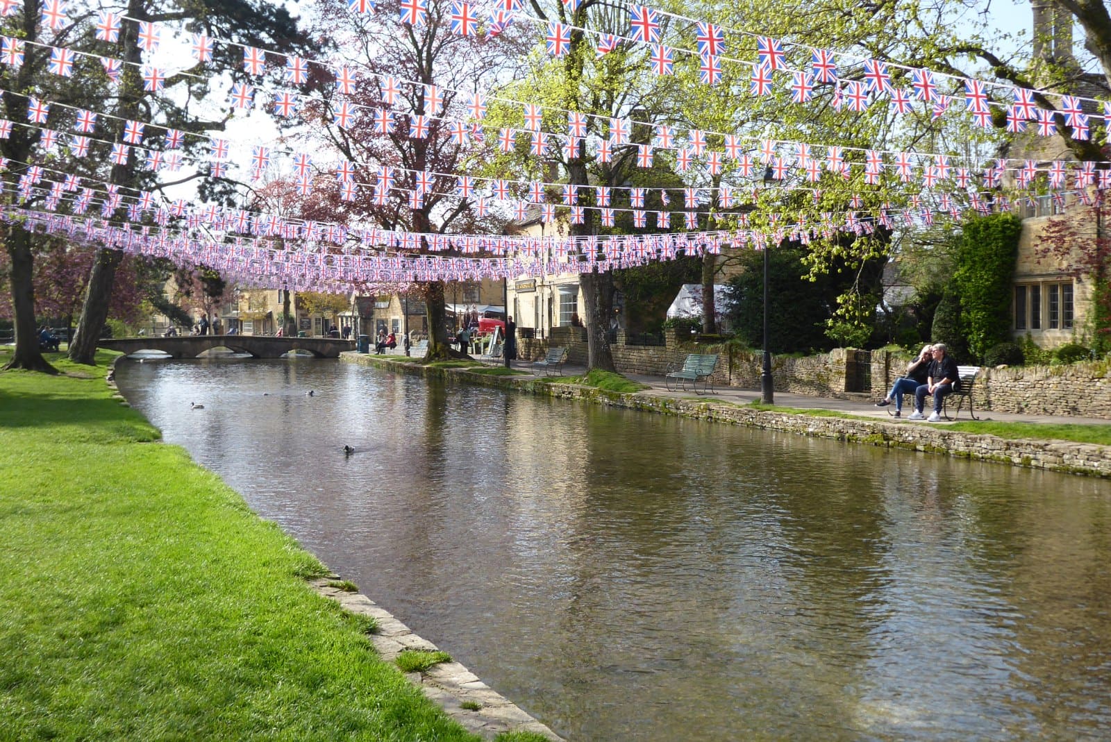
Low stone bridges over the River Windrush, with a bird park and a model village
Open the mini guide →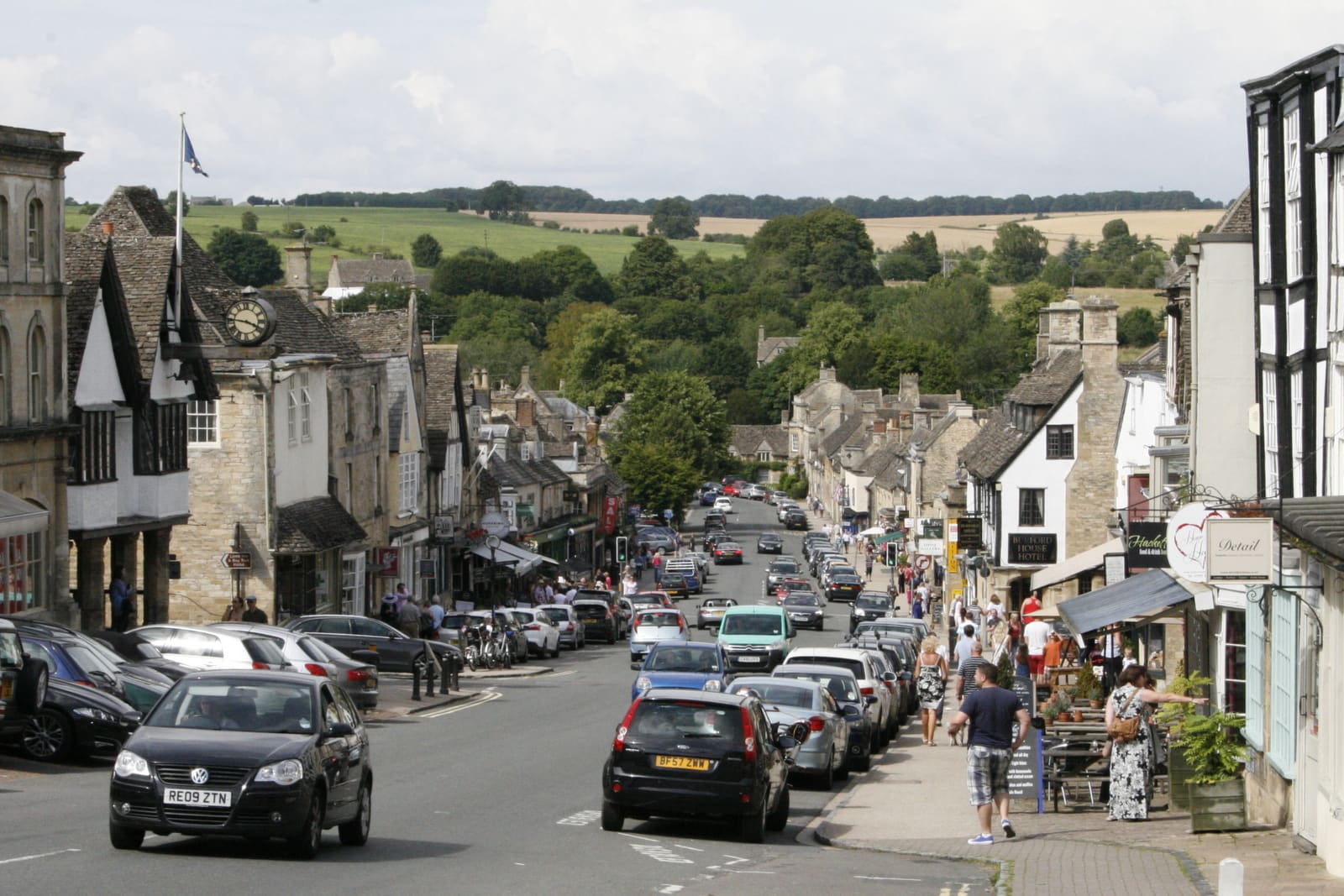
A steep medieval High Street running down to the River Windrush
Open the mini guide →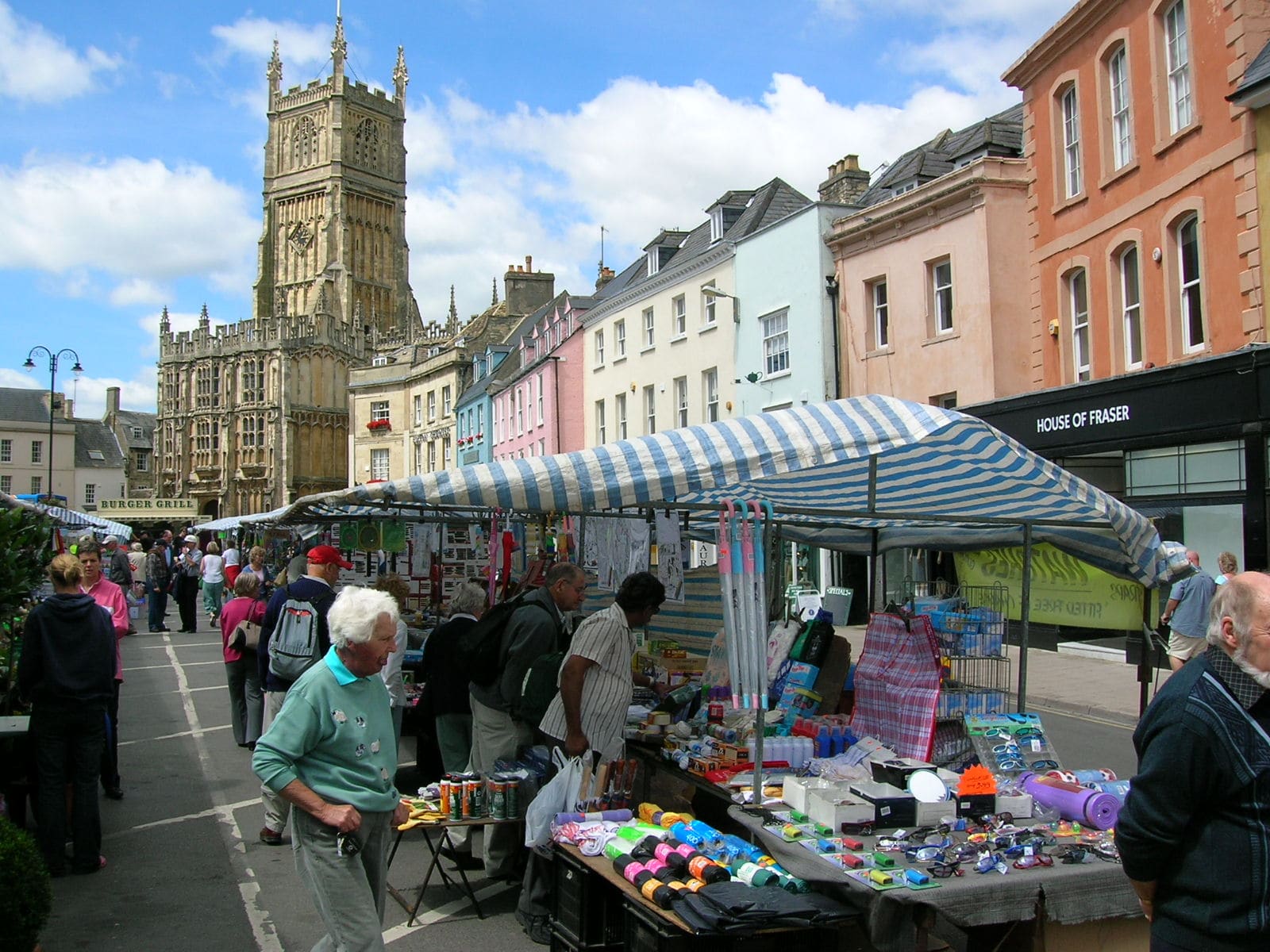
A Roman town turned wool town, with a museum, a landmark church and an amphitheatre
Open the mini guide →Photos from Wikimedia Commons, used under the licences shown. All photo credits
Keep exploring the Cotswolds