 English (UK)
 English (US)
 Français
 Deutsch
 Español
 Italiano
 Nederlands
 简体中文
Ein Mini-Guide zu
Whitby & Robin Hood's Bay: getting there
Stops, stations and how to reach Whitby & Robin Hood's Bay
Haltestellen und Stationen
Getting to Whitby & Robin Hood's Bay
Wählen Sie die Haltestelle, die Ihrem Ziel am nächsten liegt.
| Haltestelle oder Station | Services | Gut für |
|---|---|---|
| Whitby station | Northern (Esk Valley line from Middlesbrough); North Yorkshire Moors Railway | On the harbour in the town centre |
| Whitby bus station | Coastliner 840 from Leeds, York and Malton | Next to the railway station |
| Grosmont station | Esk Valley line and the North Yorkshire Moors Railway | Change here for the heritage line towards Goathland and Pickering |
Walking from nearby areas
- Scarborough: 26.7 km from Whitby & Robin Hood's Bay, better by public transport
- North York Moors: 28.6 km from Whitby & Robin Hood's Bay, better by public transport
- Harrogate & Knaresborough: 79.4 km from Whitby & Robin Hood's Bay, better by public transport
- Yorkshire Dales: 101.9 km from Whitby & Robin Hood's Bay, better by public transport
Reaching Yorkshire
Offizielle Reiseinformationen
York, Leeds and Middlesbrough are the rail gateways. From them, branch lines run to Whitby, Scarborough, Harrogate, Skipton and Settle, and Coastliner buses run to the coast. Always check the operator for current times, fares and disruption.
- North Yorkshire Moors Railway → — Timetables, fares and travel updates for Pickering to Whitby
- Settle–Carlisle Railway → — The line from Leeds and Settle over Ribblehead to Carlisle
- Coastliner and York & Country → — Leeds, York, Malton, Whitby and Scarborough buses and DalesBus 74
- DalesBus → — All-year, Saturday and summer buses in the Yorkshire Dales
- Yorkshire Dales National Park: plan your visit → — Car parks, walks and public transport into the Dales
- National Rail: Harrogate → — Station facilities and live departures
Zeiten, Preise und Störungen ändern sich: Aktuelle Informationen finden Sie auf den Seiten der Betreiber oben.
Fahrt hierher planen
Enter your starting point and Google Maps will show routes to Whitby & Robin Hood's Bay. Public transport is selected; change it on the map. Check operator sites for live disruption.
While you are here
Things to see in Whitby & Robin Hood's Bay
A few of the sights in the area. The Things to do page lists them all, with directions and official links.
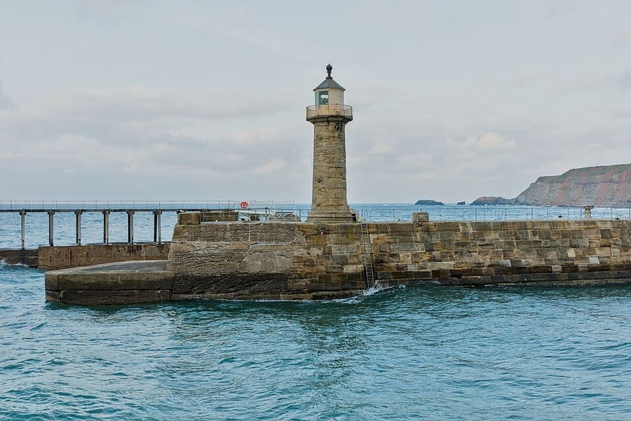
Whitby East Pier Lighthouse
The newer harbour lighthouse, built in 1855 and 16.5 metres high, on the East Pier below the abbey.
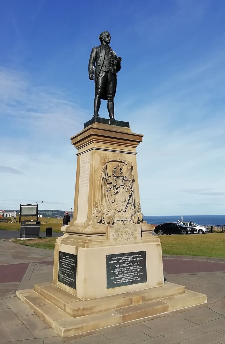
Captain Cook Statue
Statue of James Cook in Whitby, the town where he learned his seamanship.
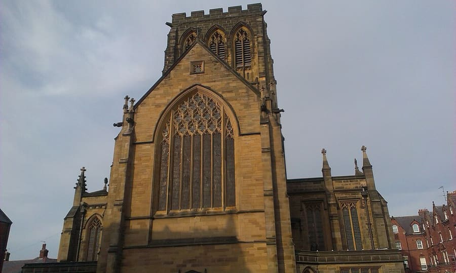
St Hilda's Church
Anglican church in Whitby's West Cliff area.
Yorkshire
More areas to explore
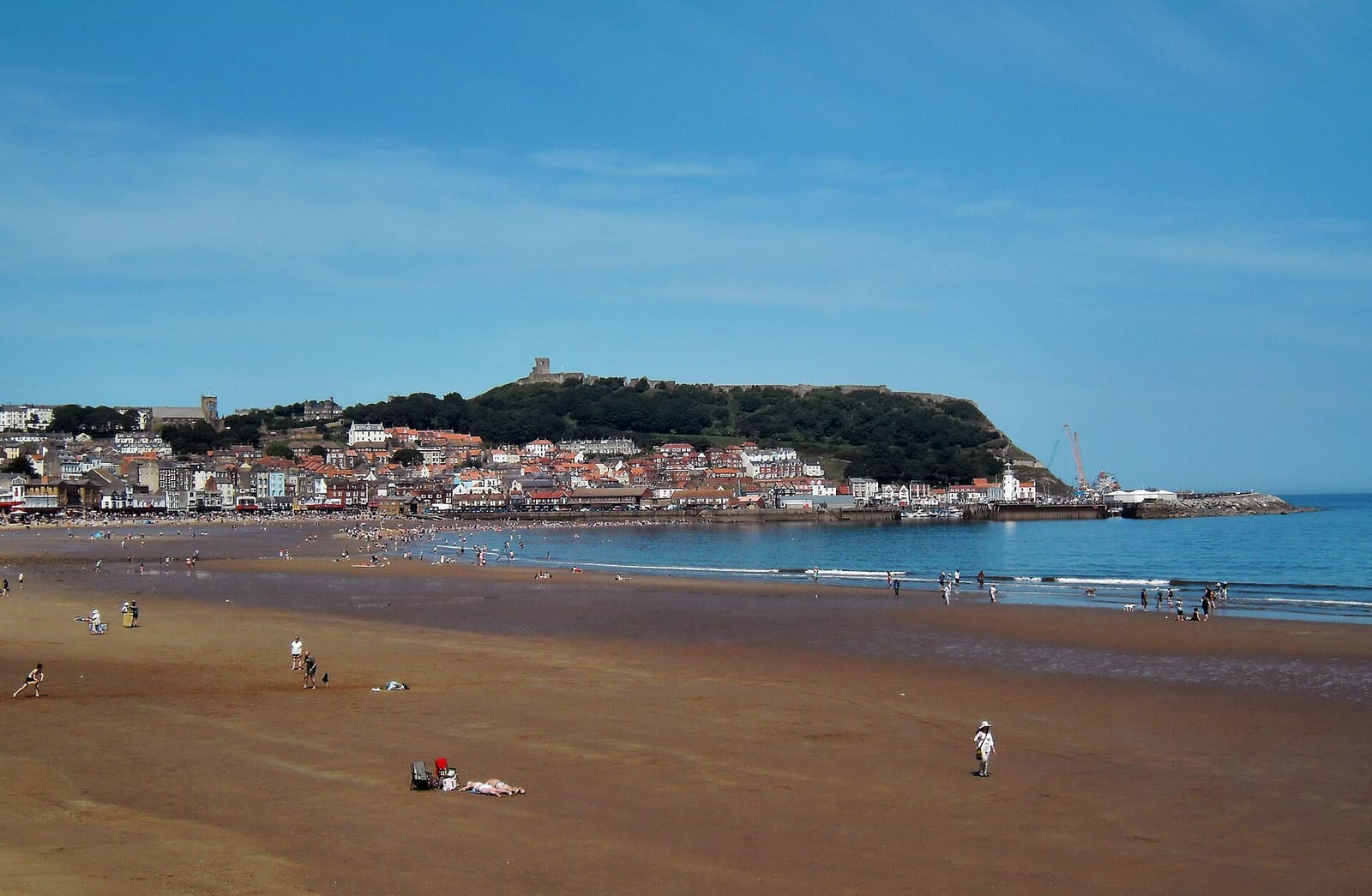
Scarborough
Two sandy bays, a castle headland and the resort that grew from a spa
Mini-Guide öffnen →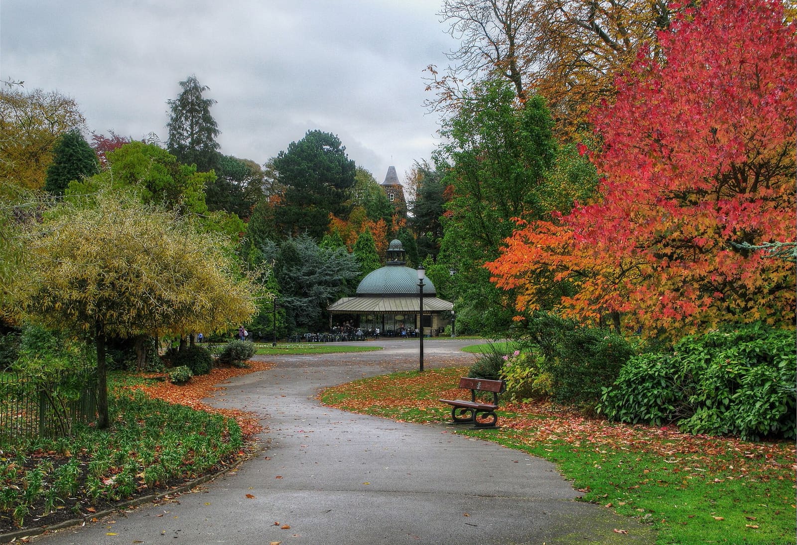
Harrogate & Knaresborough
Victorian spa town with gardens and baths, and the Nidd gorge at Knaresborough
Mini-Guide öffnen →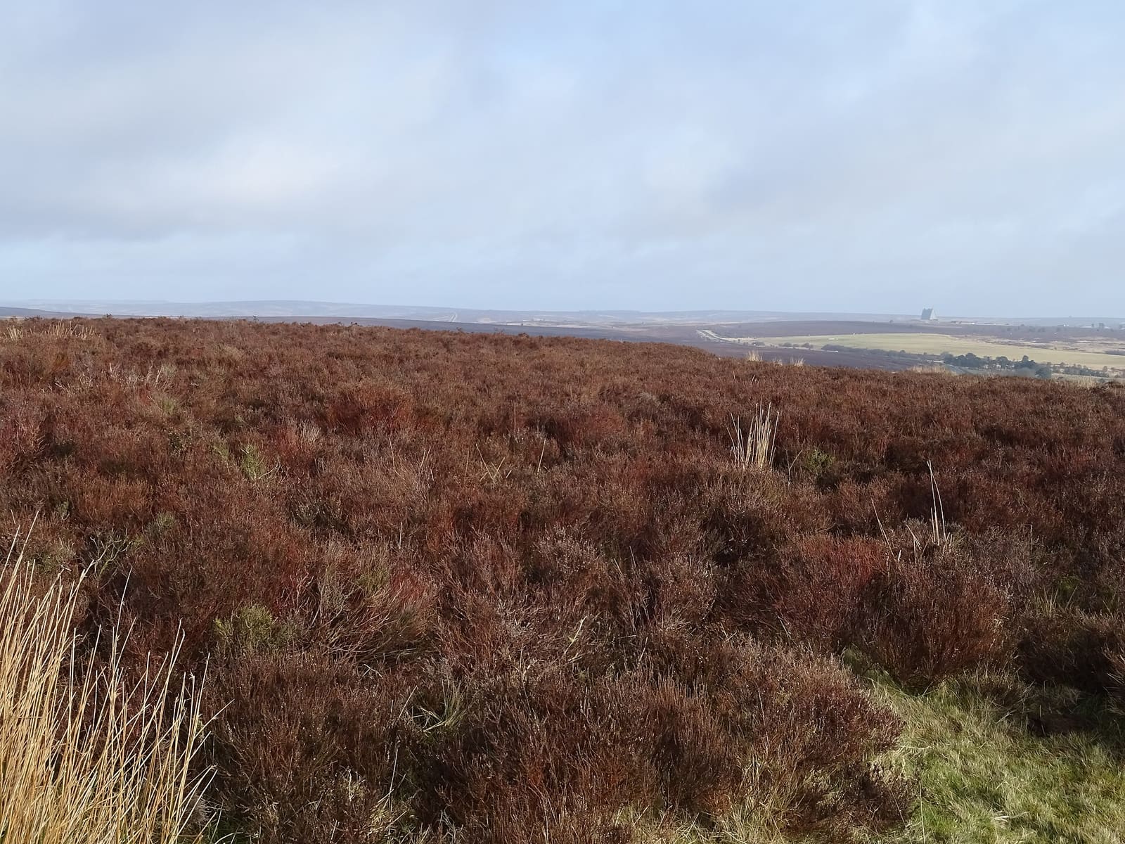
North York Moors
Heather moorland, abbeys, market towns and the steam railway
Mini-Guide öffnen →Fotonachweise
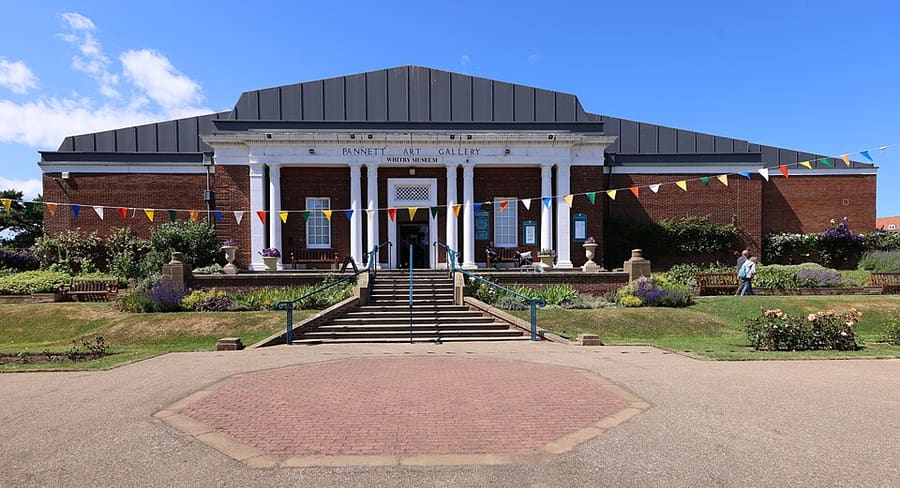
- Whitby Museum: Geni, CC BY-SA 4.0, source
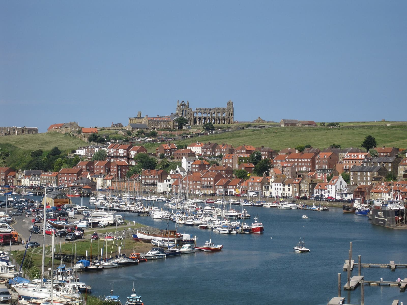
- Whitby & Robin Hood's Bay (area photo): ianpudsey, CC BY 3.0, source
- Whitby East Pier Lighthouse: Benjamin Smith, CC BY-SA 4.0, source
- Captain Cook Statue: Benjamin Shaw, CC BY-SA 3.0, source
- St Hilda's Church: aude, CC BY-SA 3.0, source
- Scarborough: derek dye, CC BY-SA 2.0, source
- Harrogate & Knaresborough: David Rogers, CC BY-SA 2.0, source
- North York Moors: JThomas, CC BY-SA 2.0, source
- Yorkshire Dales: F. C. Franklin, CC BY-SA 3.0, source
Photos from Wikimedia Commons, used under the licences shown. All photo credits
Keep exploring Yorkshire