 English (UK)
 English (US)
 Français
 Deutsch
 Español
 Italiano
 Nederlands
 简体中文
Burg
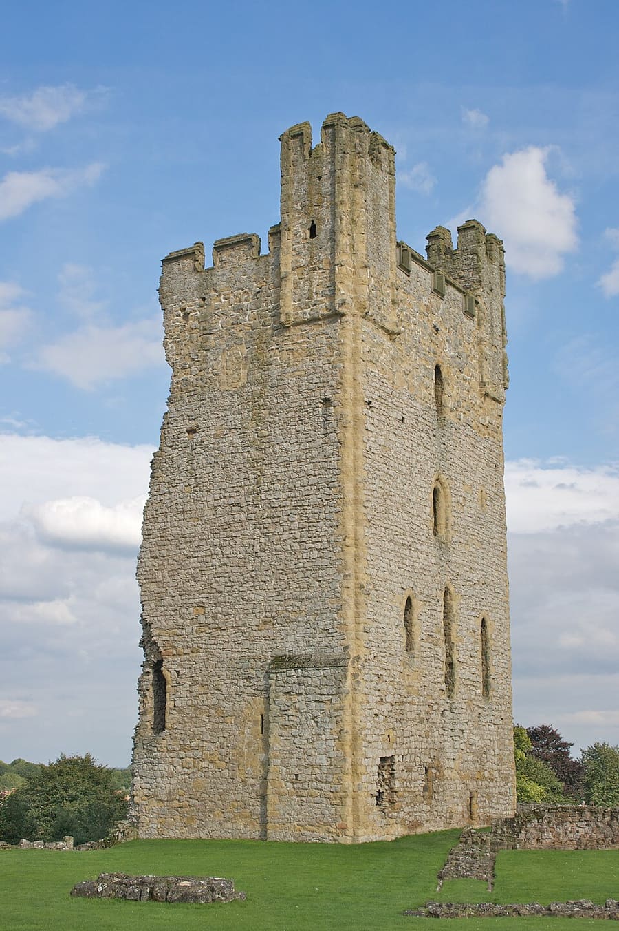
Helmsley Castle
Medieval castle ruins in the market town of Helmsley; cared for by English Heritage.
Ein Mini-Guide zu
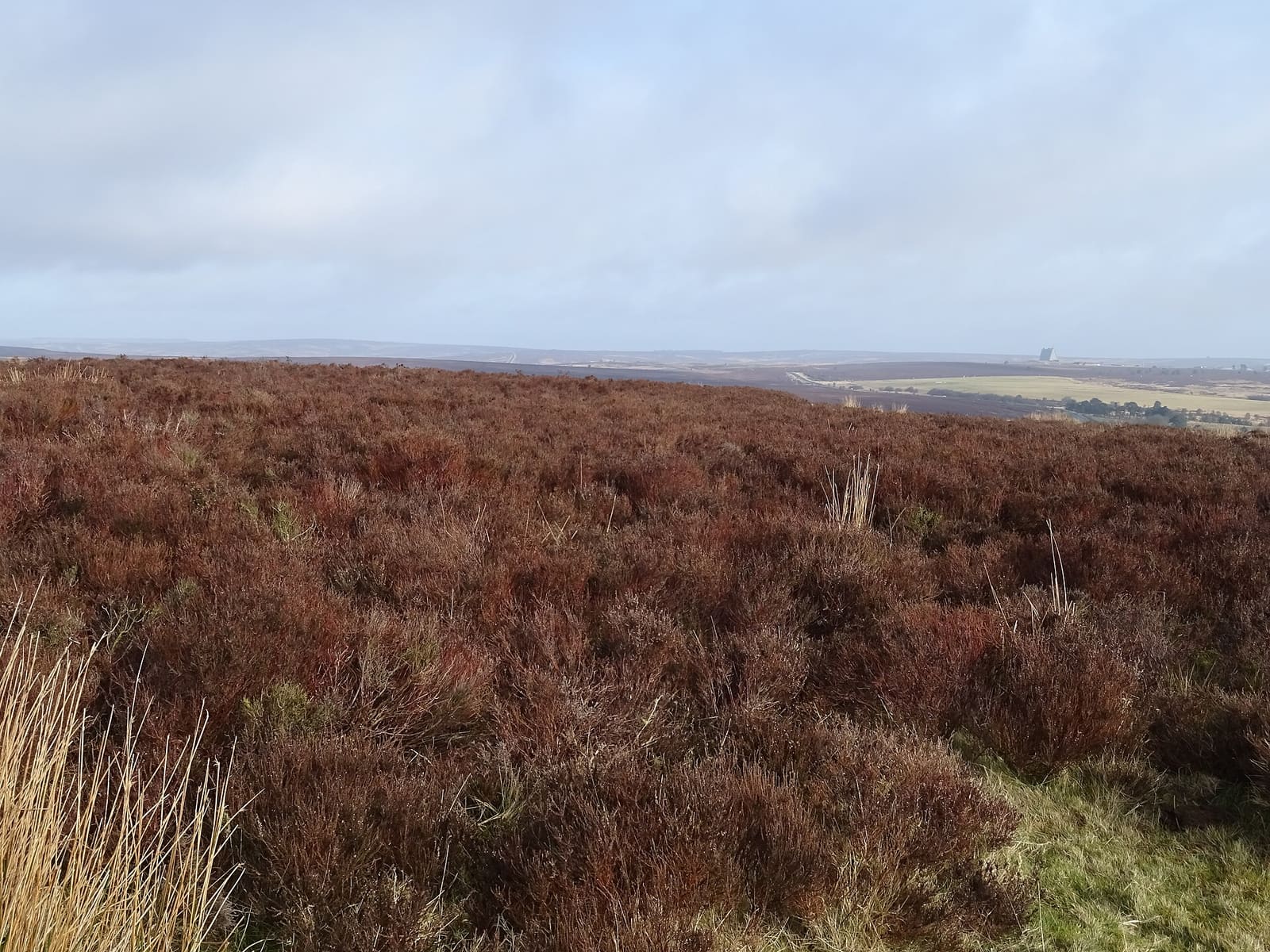
Heather moorland, abbeys, market towns and the steam railway
 1 / 10
Willkommen in der Gegend
The North York Moors became a national park in 1952 and covers 1,436 km² between Scarborough, Thirsk and Teesside. It contains the largest expanse of heather moorland in the United Kingdom, with green pasture and woodland in the dales between.
Helmsley and Pickering are the market towns on its southern edge. Around Helmsley are its castle and the Cistercian ruins of Rievaulx and Byland; from Pickering the North Yorkshire Moors Railway climbs through Newtondale to Goathland and Grosmont. Hutton-le-Hole, the Hole of Horcum and Sutton Bank are the other classic stops.
Highlights
Wenn Sie nur wenige Stunden haben, beginnen Sie am besten hier.
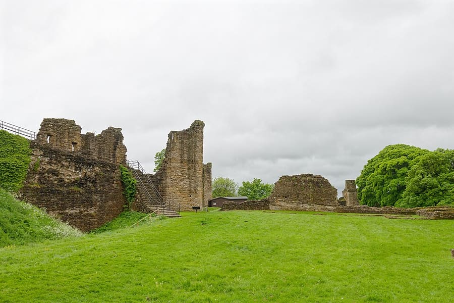
Medieval castle ruins in the market town of Helmsley; cared for by English Heritage.
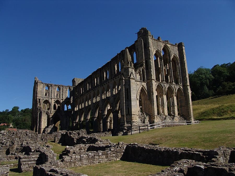
Ruins of a Cistercian abbey, one of the great English monasteries until 1538; cared for by English Heritage.
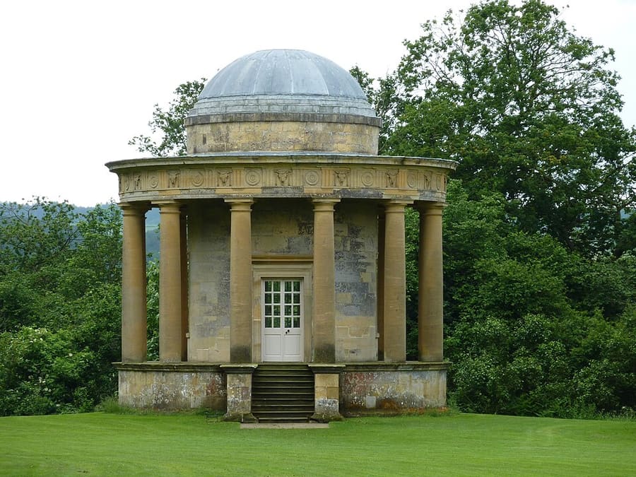
Grass terrace above Rievaulx Abbey with two mid-18th-century temples at either end; National Trust land.
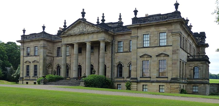
Seat of the Duncombe family in 300 acres of parkland, a mile south-west of Helmsley above the River Rye.
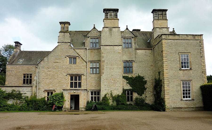
National Trust country house beside the River Rye in Ryedale.
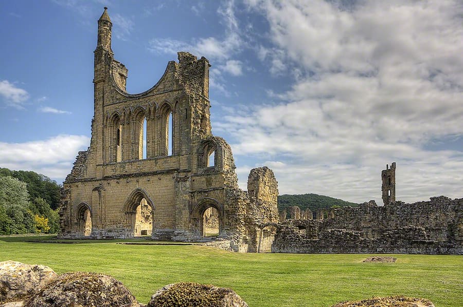
Ruins of a medieval abbey beside the hamlet of the same name, in the national park; cared for by English Heritage.
Orientierung
The map shows North York Moors and the streets around it. The Getting there page lists nearby stops and stations.
Insidertipps
Bridge 42 at Grosmont needs repair; the NYMR's travel updates say how far trains currently run.
Rievaulx and Byland are a short drive from Helmsley; both are run by English Heritage, so check opening days first.
Sutton Bank, on the Hambleton Hills, looks over the Vale of York and the Vale of Mowbray.
The tallest waterfall in the national park is a short walk from Goathland.
Tipps der Britlens-Redaktion
Yorkshire
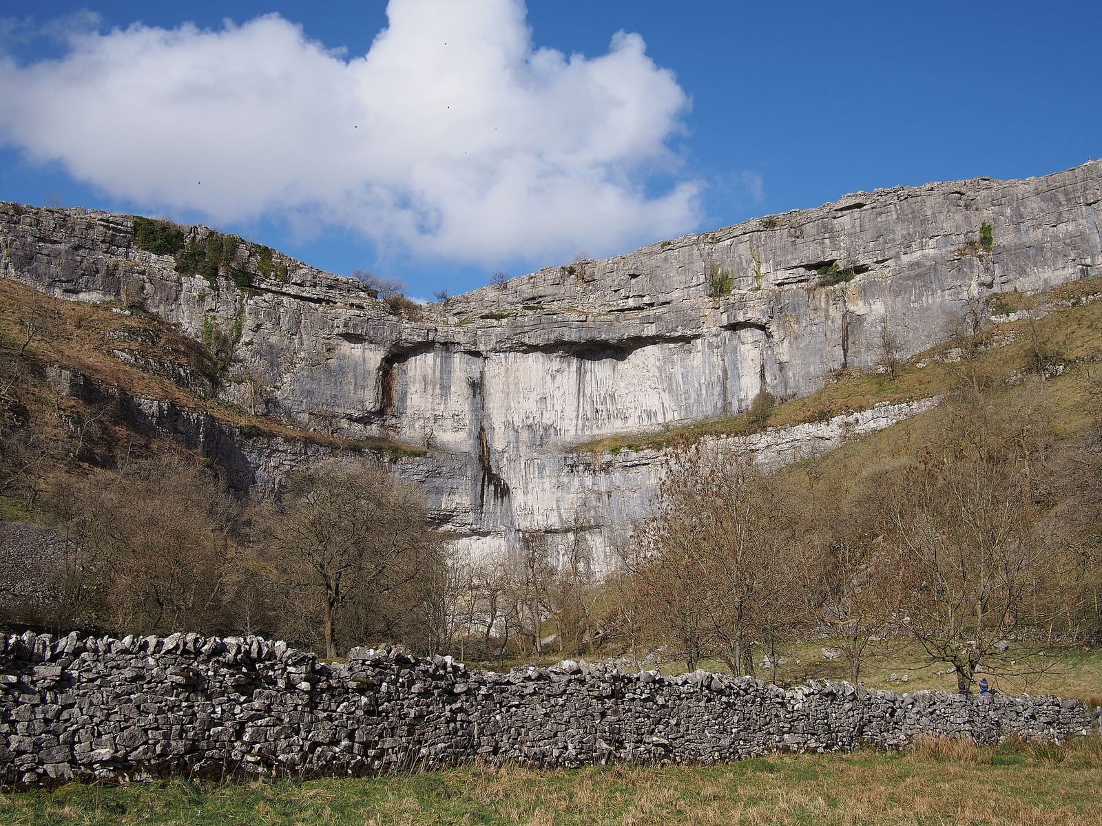
Limestone country: Malham, Wharfedale, Wensleydale and the Three Peaks
Mini-Guide öffnen →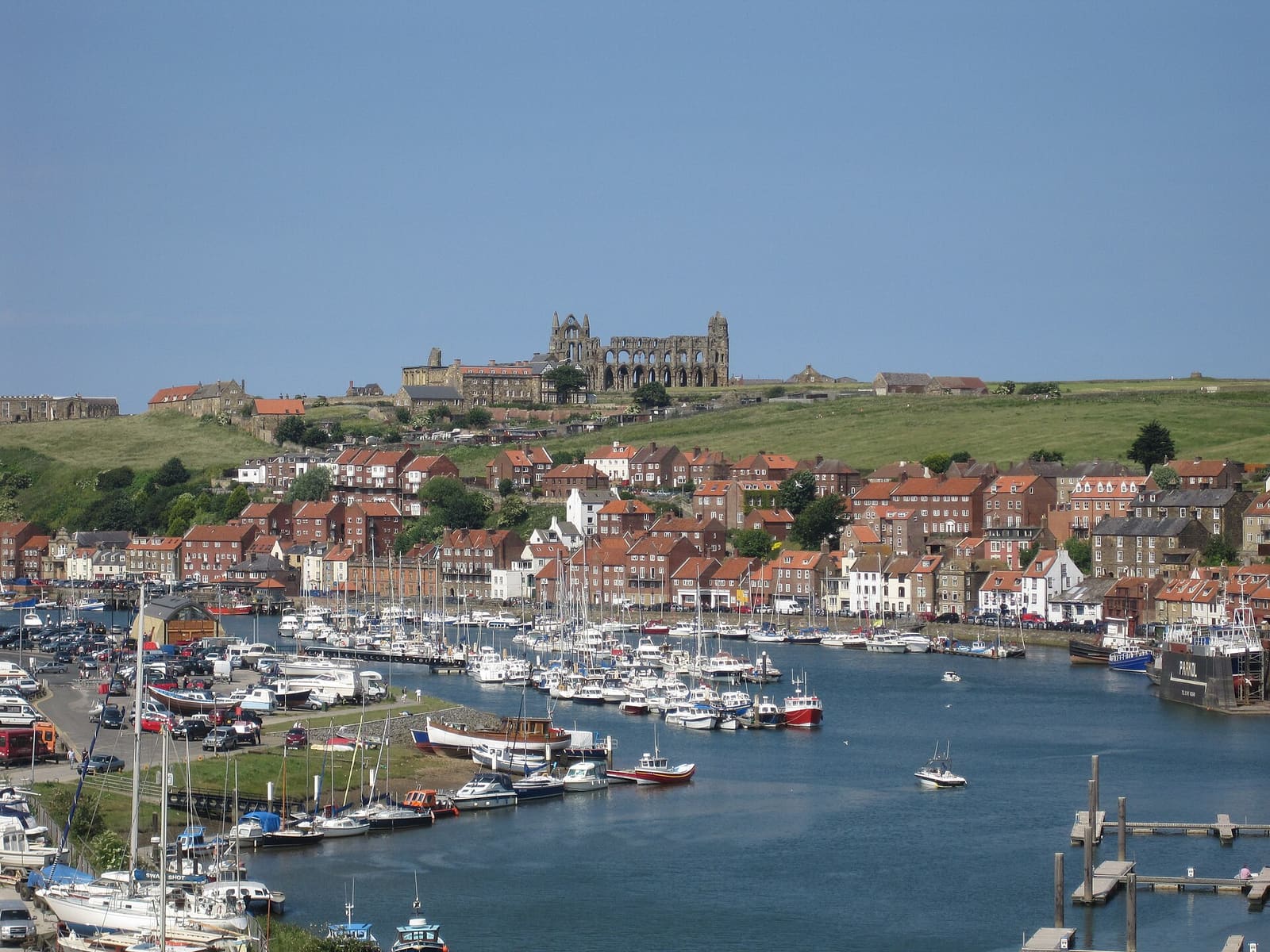
Harbour town at the mouth of the Esk, with the abbey, Captain Cook and Dracula
Mini-Guide öffnen →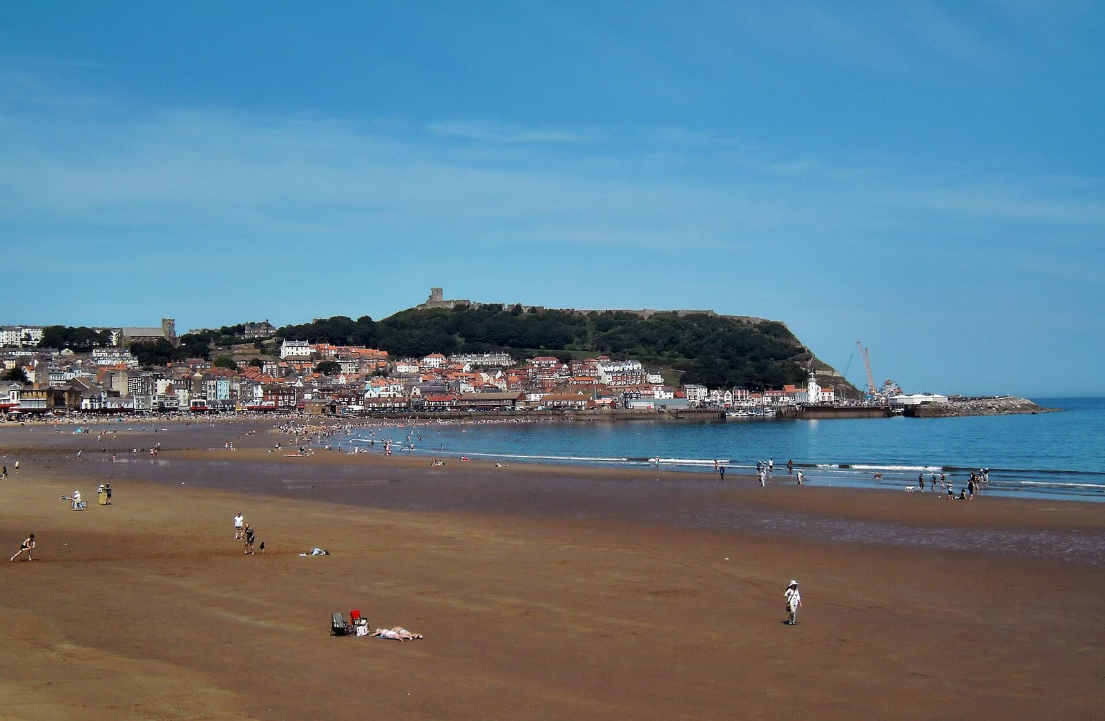
Two sandy bays, a castle headland and the resort that grew from a spa
Mini-Guide öffnen →Photos from Wikimedia Commons, used under the licences shown. All photo credits
Keep exploring Yorkshire