 English (UK)
 English (US)
 Français
 Deutsch
 Español
 Italiano
 Nederlands
 简体中文
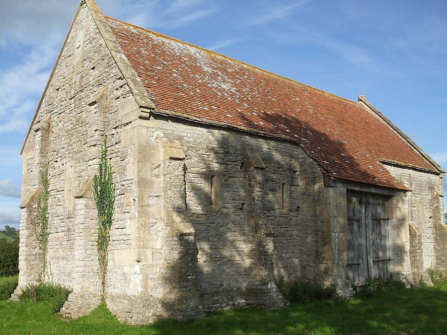
A mini guide to
Chipping Campden: getting there
Stops, stations and how to reach Chipping Campden
Stops and stations
Getting to Chipping Campden
Choose the stop closest to where you are going.
| Stop or station | Services | Good for |
|---|---|---|
| Moreton-in-Marsh station | GWR (Cotswold Line) | Nearest mainline station, about five miles away |
| Stagecoach 1 and 2 | Moreton-in-Marsh to Chipping Campden | The Cotswolds tourism partnership gives about 30 minutes; check Stagecoach for times |
Walking from nearby areas
- Broadway: 5.6 km from Chipping Campden, better by public transport
- Stow-on-the-Wold: 13.9 km from Chipping Campden, better by public transport
- Bourton-on-the-Water: 18.4 km from Chipping Campden, better by public transport
- Burford: 28.6 km from Chipping Campden, better by public transport
Reaching the Cotswolds
Official travel information
The Cotswolds have no airport of their own and only a few railway stations, so most visitors combine a train with a bus, a taxi or a car. Always check the operator for current times, fares and disruption.
- GWR: trains to the Cotswolds → — stations, routes and tickets
- GWR: Moreton-in-Marsh station → — facilities and onward travel
- National Rail Enquiries → — train times and fares
- Cotswolds tourism partnership: getting there by train and bus → — car-free routes and bus numbers
- Pulhams → — 801 and other Cotswold buses
- Stagecoach → — services to Oxford, Burford, Campden and Cirencester
- The Robin bookable bus → — Gloucestershire County Council
- Traveline → — journey planner for buses and trains
- Cotswold District Council: where to park → — car parks in Bourton, Campden, Cirencester, Stow and more
- West Oxfordshire District Council: where to park → — car parks in Burford
- National Trails: Cotswold Way → — route and trail information
Times, fares and disruption change: use the operator pages above for live information.
Plan your journey here
Enter your starting point and Google Maps will show routes to Chipping Campden. Public transport is selected; change it on the map. Check operator sites for live disruption.
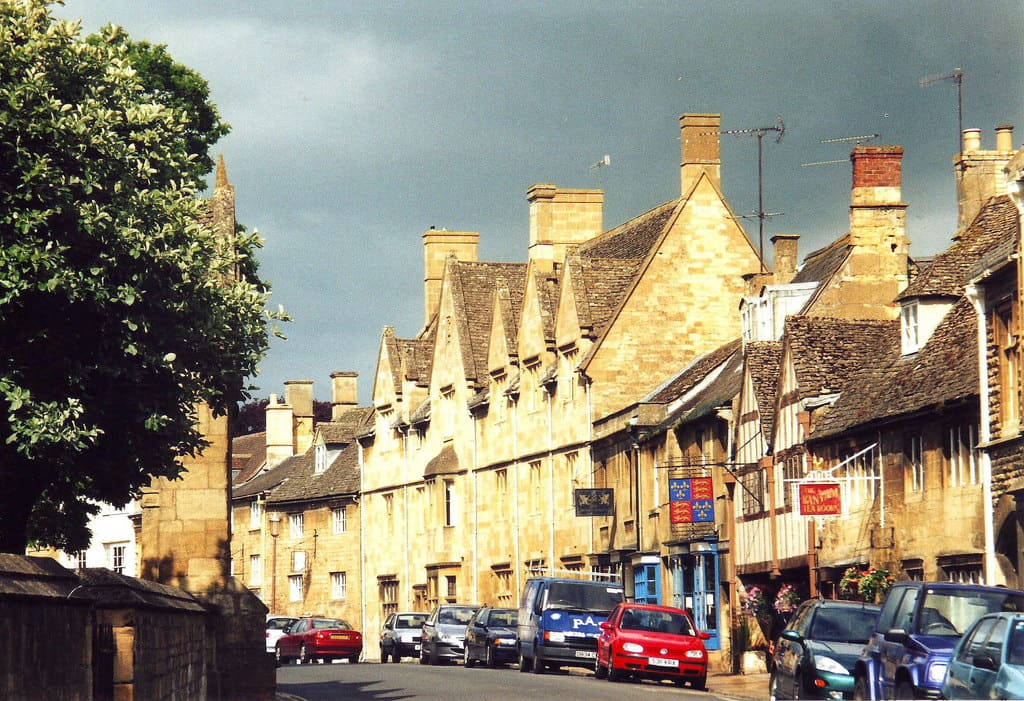
While you are here
Things to see in Chipping Campden
A few of the sights in the area. The Things to do page lists them all, with directions and official links.
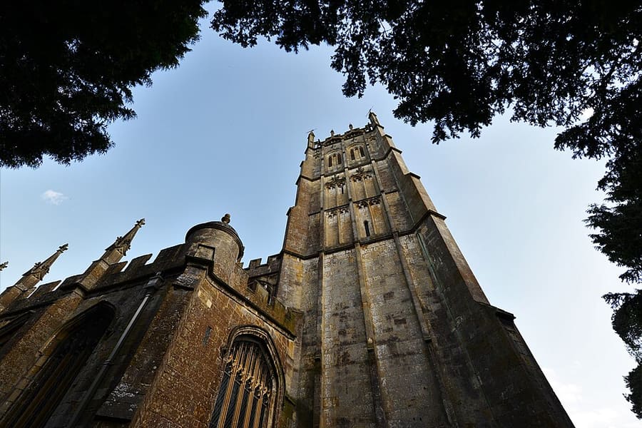
St James's Church
Grade I listed wool church with a monument to Sir Baptist Hicks and his family.
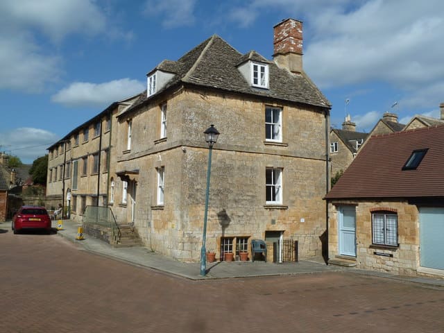
Silk Mill
Grade II listed mill that became the headquarters of C. R. Ashbee's Guild of Handicraft in 1902.
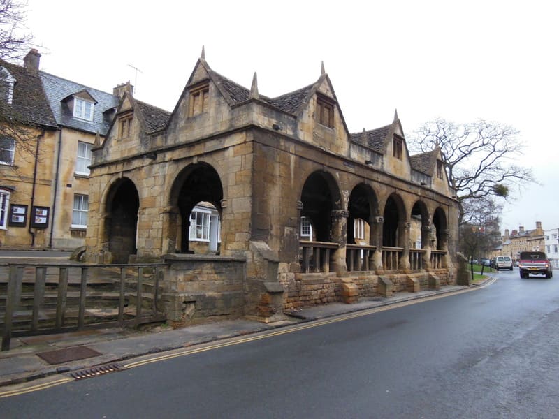
Cotswold Way start
Northern start of the 102-mile Cotswold National Trail to Bath, beginning in the town centre.
The Cotswolds
More areas to explore
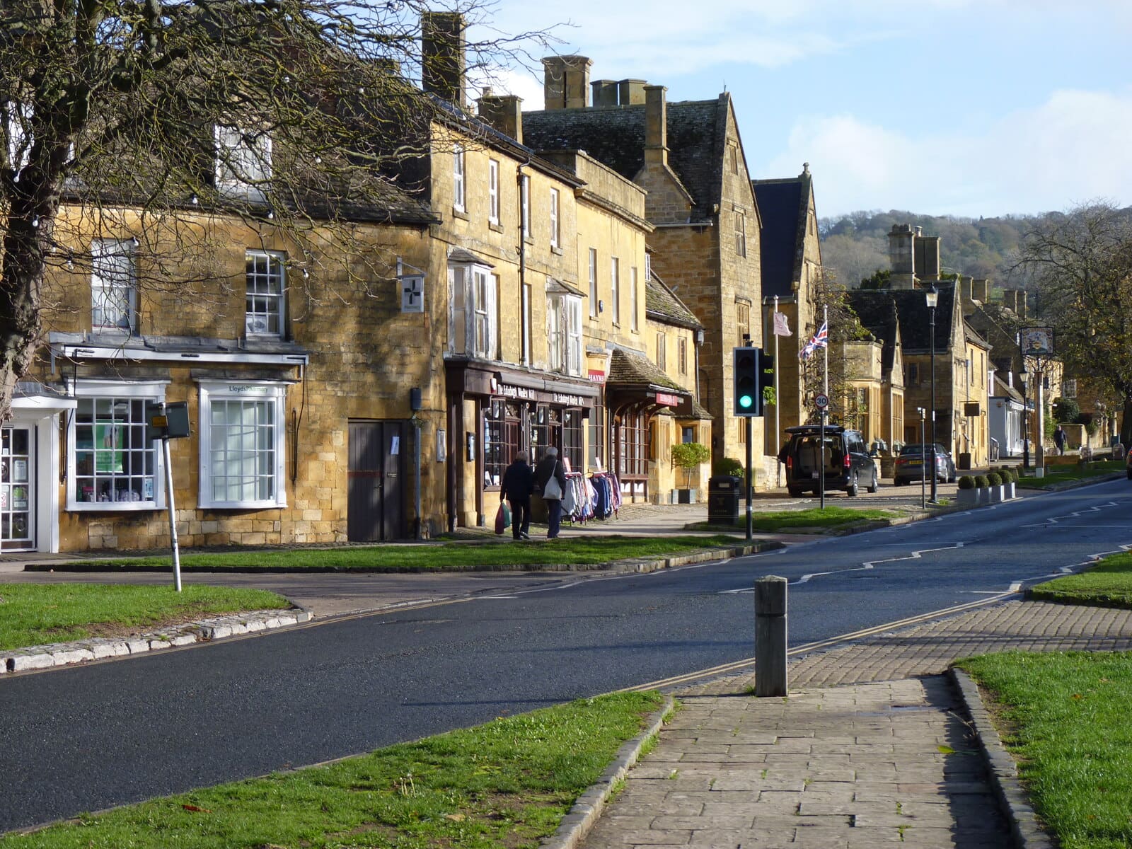
Broadway
A wide High Street of stone houses below Broadway Tower
Open the mini guide →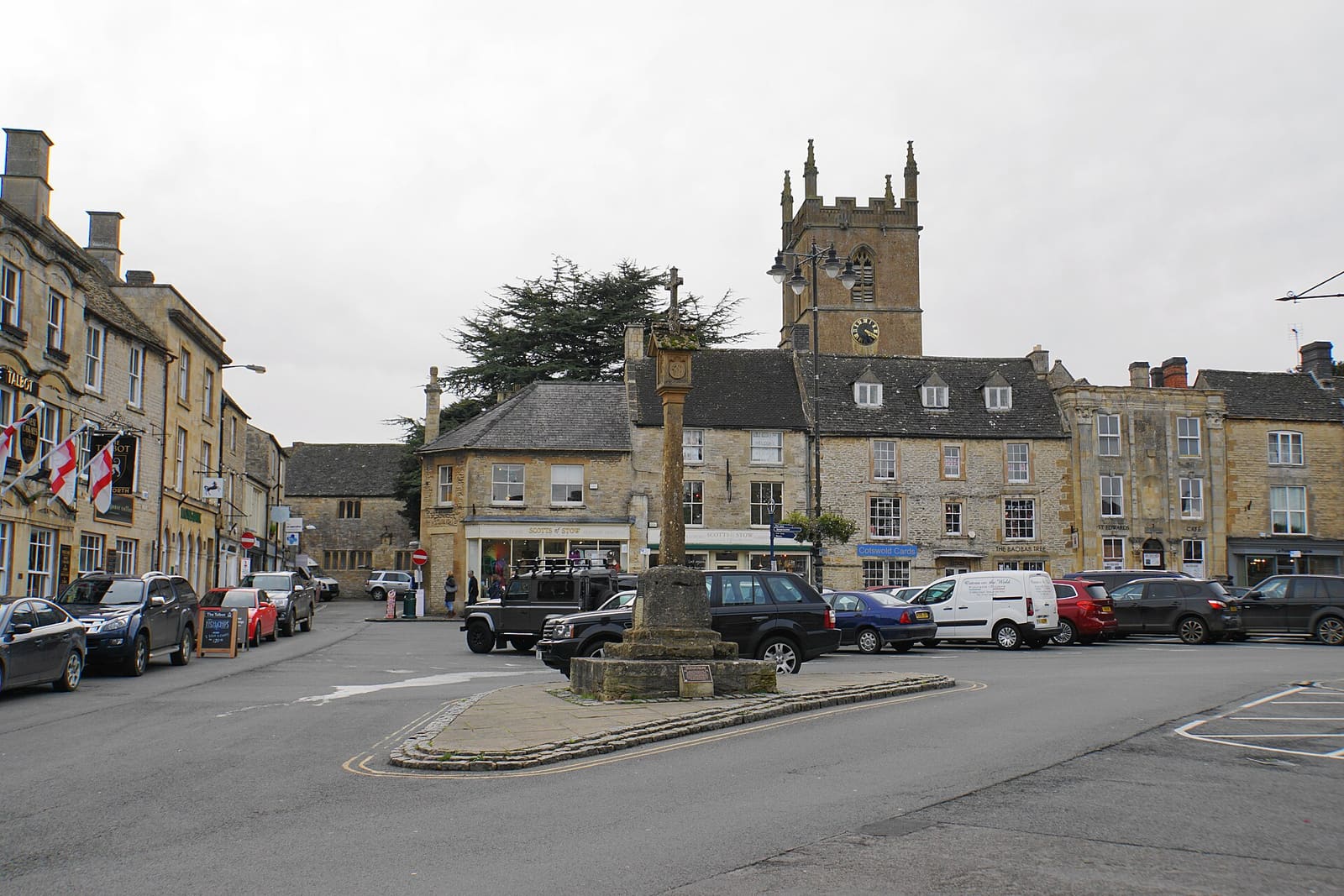
Stow-on-the-Wold
A hilltop market town around a large square where the Royalists surrendered in 1646
Open the mini guide →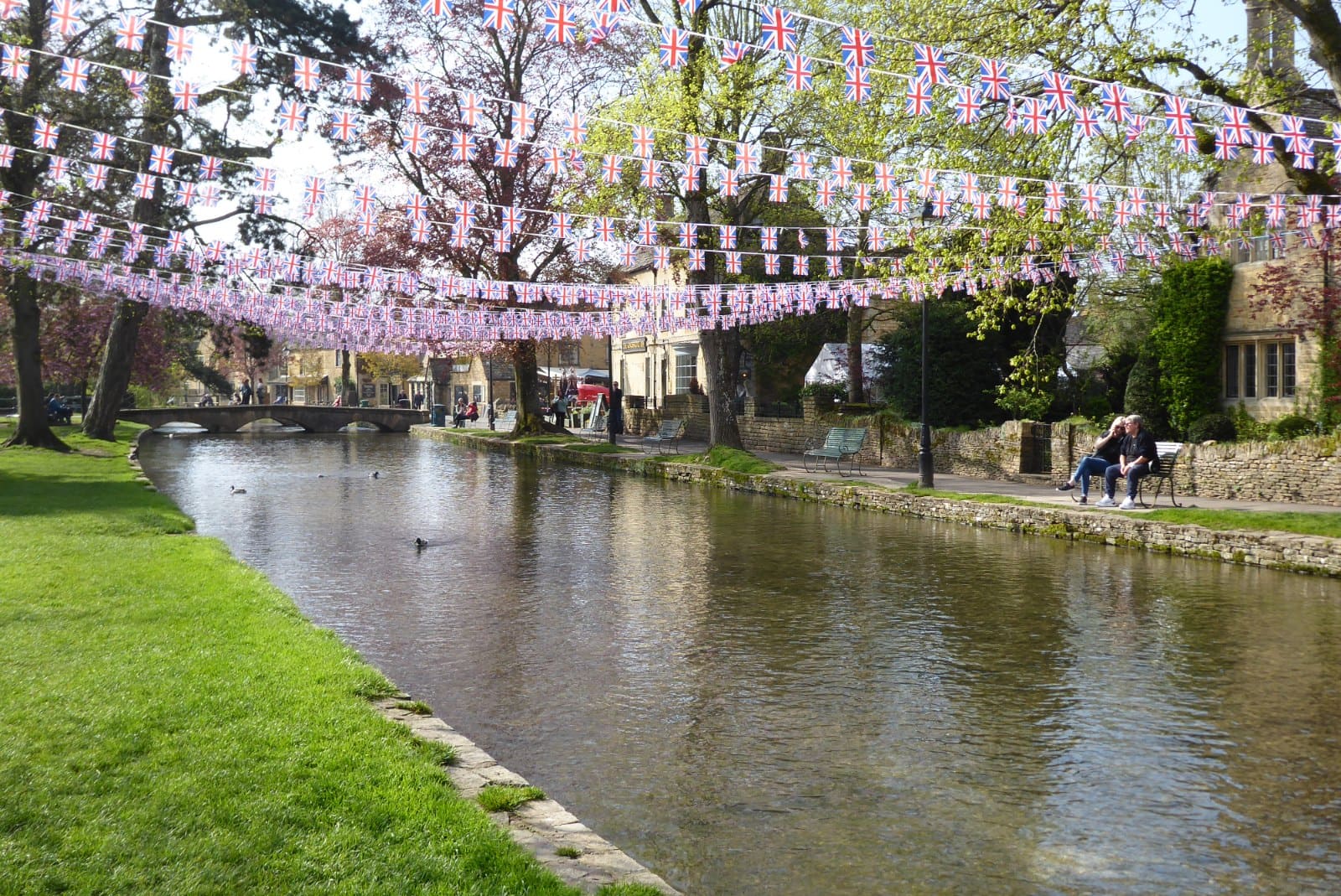
Bourton-on-the-Water
Low stone bridges over the River Windrush, with a bird park and a model village
Open the mini guide →Photo credits
- Court Barn Museum: Neil Owen, CC BY-SA 2.0, source
- Chipping Campden (area photo): nick macneill, CC BY-SA 2.0, source
- St James's Church: Michael Garlick, CC BY-SA 2.0, source
- Silk Mill: Chris Allen, CC BY-SA 2.0, source
- Cotswold Way start: Ian S, CC BY-SA 2.0, source
- Broadway: Jeff Gogarty, CC BY-SA 2.0, source
- Stow-on-the-Wold: Bill Boaden, CC BY-SA 2.0, source
- Bourton-on-the-Water: Philip Halling, CC BY-SA 2.0, source
- Burford: bongo vongo, CC BY-SA 2.0, source
- Cirencester: Tony Grist, Public domain, source
Photos from Wikimedia Commons, used under the licences shown. All photo credits
Keep exploring the Cotswolds