 English (UK)
 English (US)
 Français
 Deutsch
 Español
 Italiano
 Nederlands
 简体中文
Wales · Out and back
Llanberis Path to Yr Wyddfa (Snowdon)
The longest and gentlest-graded route up Snowdon, from Llanberis, still graded hard by the park authority.
- Distance 14.5 km · 9.0 miles As stated on the official page
- Typical time 7 hours Official page (opens in new tab)
- Ascent 975 m As stated on the official page
- Grade Hard Official grade: “Anodd/Llafurus (hard/strenuous)”
- Route typeOut and back Victoria Row, Llanberis
Take this walk offline
Near the start, along the way and at the finish
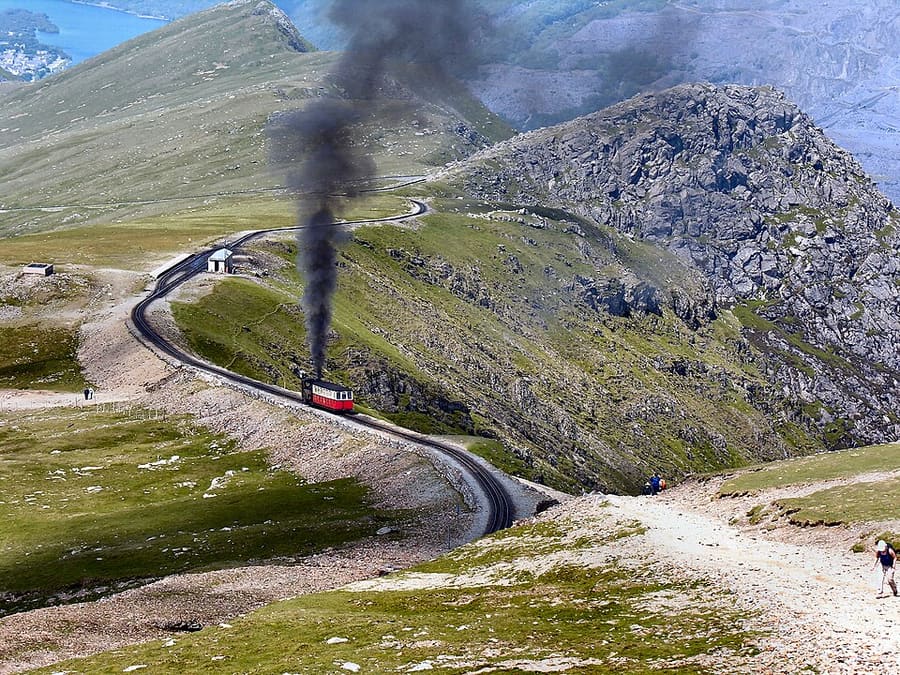

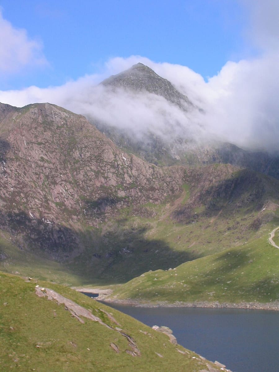

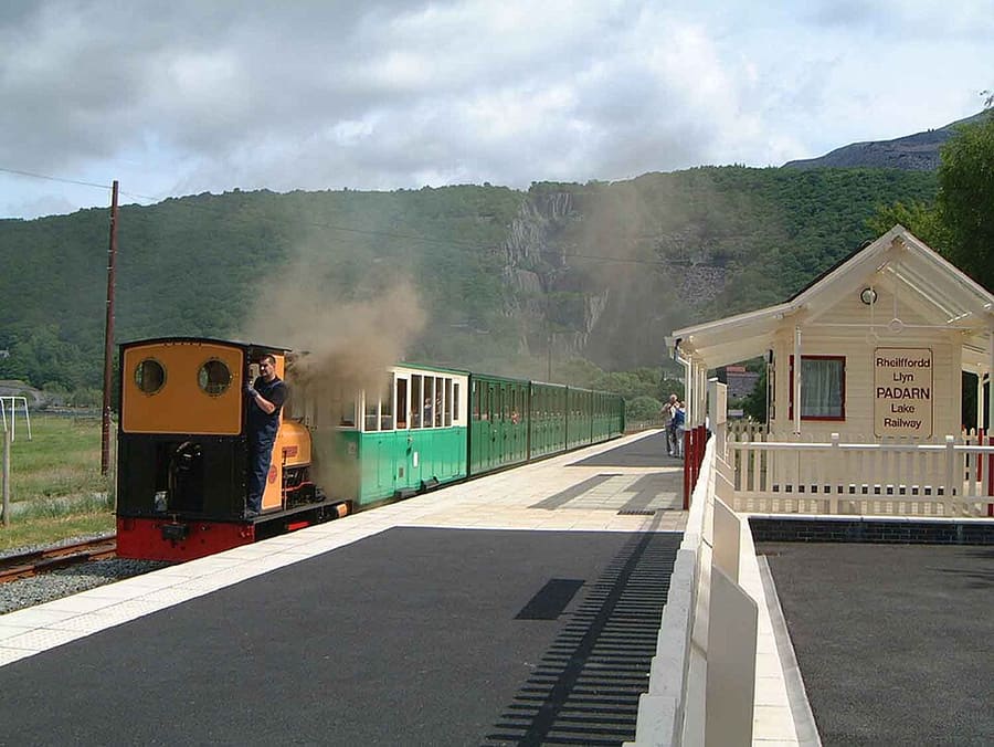

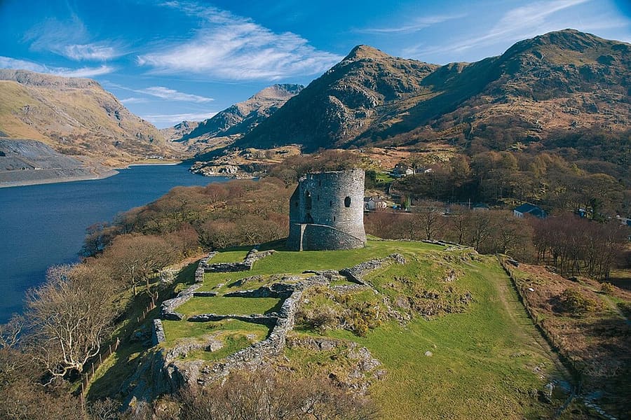

Photos of named places from our guides closest to each point of the walk, with the straight-line distance. They show the area, not the path itself: follow the waymarks and the official page.
The route
The Llanberis Path starts at Victoria Row in Llanberis and climbs steadily to the summit of Yr Wyddfa and shares ground with the Snowdon Mountain Railway, which the park warns walkers to keep off. The park authority grades it hard and strenuous, with 975 m of ascent, and says most of the 600,000 summit visitors a year use it. The map line runs one way, from the village to the summit.
The interactive map needs JavaScript. The start and finish are listed below.
Along the way
- Start: Victoria Row, Llanberis
The line is drawn from OpenStreetMap data and simplified to 351 points. It can differ from what is on the ground: waymarks and the official page take priority.
Route and map data © OpenStreetMap contributors (ODbL), saved 2026-10-25. Spotted a mistake? Fix the map.
The GPX file holds the route as a track and the start, finish and waypoints, for use in a walking or hiking app. It is a planning aid, not a navigation guarantee.
Before you go
Safety and access notes come from official pages. Conditions change, so read the linked page for the day you walk.
Getting there
- Nearest station or stop to the start in our dataLlanberis (SMR) (rail, Snowdon Mountain Railway), about 0.3 km in a straight line.
- The Sherpa'r Wyddfa bus calls at Llanberis Interchange. The page asks walkers to use Llanberis car parks, not narrow residential streets. Check the Sherpa site for services. Source (opens in new tab)
Straight-line distances from our station list, not walking distances. Check timetables and the route to the start before you travel. Getting between regions
Step-free and pushchair access
The official page does not say whether this route is step-free or suitable for pushchairs, so we do not either. Check the official page (opens in new tab) or ask the site.
Safety
- The page calls walking along the Snowdon Mountain Railway track extremely dangerous and asks walkers to keep clear of the rails and stay on the path. Eryri National Park Authority: Llwybr Llanberis (Welsh page) (opens in new tab)
- The page says steep hills, rough ground and some scrambling are possible, that full mountain walking gear and navigation skills are essential, and that the mountain should not be climbed on a whim. Eryri National Park Authority: Llwybr Llanberis (Welsh page) (opens in new tab)
- The authority advises checking the Met Office forecast a few hours before you set out, not relying on it alone, and being ready to turn back. For a mountain emergency call 999 and ask for the police, who bring in mountain rescue. Eryri National Park Authority: Safety advice (Welsh page) (opens in new tab)
Seasonal access
- The page says specialist equipment may be needed in winter conditions, and directs walkers to the Yr Wyddfa Fyw site for current weather and ground conditions. Eryri National Park Authority: Llwybr Llanberis (Welsh page) (opens in new tab)
How these figures were worked out
- Distance: taken from the official page (source (opens in new tab)).
- Grade: taken from the official page.
- The line on the map measures about 7.0 km from OpenStreetMap geometry, which differs from the official figure because the start and finish points of the drawn line are approximate and the data is simplified. Use the official figure and the waymarks.
- Time: only shown when an official page states it.
Sources
- Eryri National Park Authority: Llwybr Llanberis (Llanberis Path, Welsh page) (opens in new tab). 14.5 km out and back, 7 hours, ascent 975 m (3,199 ft), grade, start at Victoria Row, railway warning, bus. Checked on 2026-10-25.
- Eryri National Park Authority: Safety advice (Welsh page) (opens in new tab). weather, kit, navigation and 999 advice. Checked on 2026-10-25.
- Adventure Smart (opens in new tab). ability, weather, kit and emergency advice. Checked on 2026-10-25.
- OpenStreetMap (ways chained from Llanberis to the summit) (opens in new tab). route geometry (c) OpenStreetMap contributors, ODbL; one-way line measures 7.04 km, so about 14.1 km out and back against the official 14.5 km. Checked on 2026-10-25.
- OpenStreetMap contributors (opens in new tab) (ODbL). Route geometry. Saved 2026-10-25.
More walks in Wales
Pembrokeshire Coast Path: Porthgain to Whitesands
A rugged cliff-top section of the National Trail from a harbour village to St Davids Head's beach.
Beacons Way: Storey Arms to Craig-y-Nos
Day 5 of the Beacons Way: a long moorland ridge walk west from the A470 to Craig-y-nos Country Park.
Pyg Track to Yr Wyddfa (Snowdon)
A rocky, steep mountain path from Pen-y-Pass to the summit, graded hard by the park authority.