 English (UK)
 English (US)
 Français
 Deutsch
 Español
 Italiano
 Nederlands
 简体中文
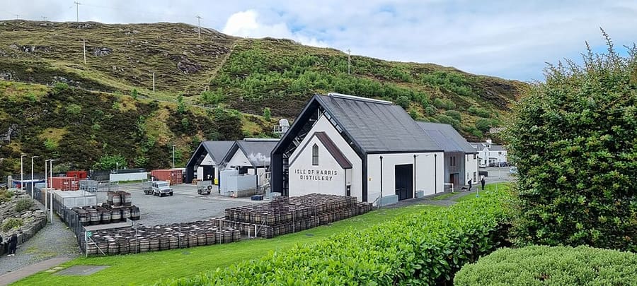
Distillery
Isle of Harris Distillery
Distillery in Tarbert making Harris gin and whisky, the first legal distillery built on Harris; CalMac mentions tours and tastings.
Directions Website Report a problem with Isle of Harris Distillery
A mini guide to
White beaches, the Bays, Tarbert and the church at Rodel
 1 / 3
Welcome to the area
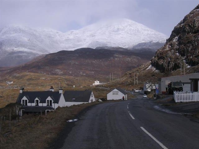
Harris is the southern, more mountainous part of Lewis and Harris. Tarbert is its ferry port and main village, with the Isle of Harris Distillery near the pier. North Harris rises to the Clisham, at 799 metres the highest hill in the Outer Hebrides, and a single-track road runs west past Amhuinnsuidhe Castle to the beach at Hushinish.
South Harris has the long sands of Luskentyre and Seilebost on the west coast and the rocky Bays on the east. At the southern tip, St Clement's Church at Rodel was built for the MacLeod chiefs around 1500, and the ferry for Berneray and North Uist leaves from Leverburgh.
Highlights
If you only have a few hours, these are good places to begin.
Distillery in Tarbert making Harris gin and whisky, the first legal distillery built on Harris; CalMac mentions tours and tastings.
Directions Website Report a problem with Isle of Harris Distillery
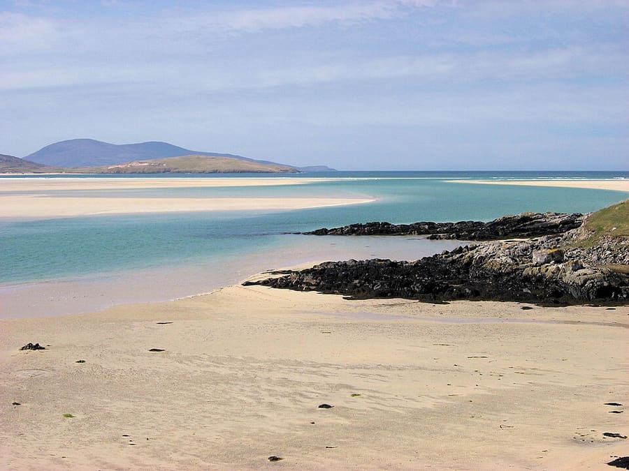
Long sandy beach on the west coast of Harris, reached from the A859 by a minor road.
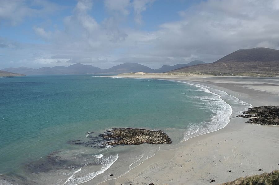
Sandy beach beside the A859 at Seilebost, across the estuary from Luskentyre.
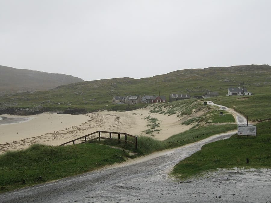
White-sand beach at the end of a 19 km single-track road, looking out to the uninhabited island of Scarp.
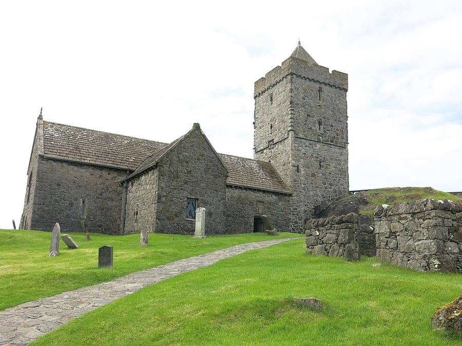
Church built around 1500 for the MacLeod chiefs of Harris, described by Historic Environment Scotland as the grandest medieval building in the Western Isles.
Directions Website Report a problem with St Clement's Church, Rodel
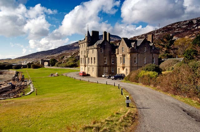
Category A listed 19th-century house by the B887 in North Harris, now run as exclusive accommodation and a sporting estate.
Directions Website Report a problem with Amhuinnsuidhe Castle
Find your way
The map shows Isle of Harris & Tarbert and the streets around it. The Getting there page lists nearby stops and stations.
Insider tips
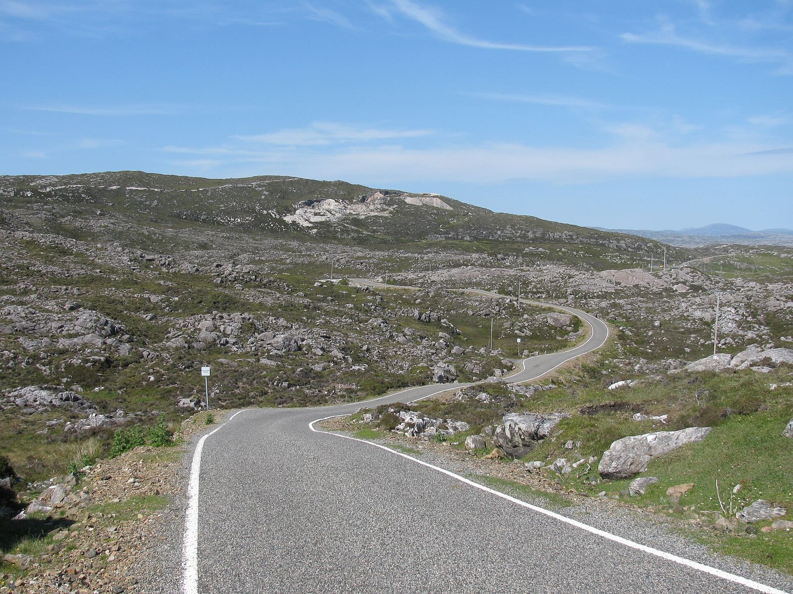
The roads to Hushinish, the Bays and Scalpay are single-track with passing places. Pull in to let others pass and never park in a passing place.
The beaches face the open Atlantic and the water is cold. Check conditions and swim only where you are confident.
Some cafés close for the winter; The Bothy at Leverburgh, for example, says it is closed until next season.
Many businesses on Harris close or open less on Sundays, so plan food and fuel the day before.
Tips from the Britlens editors
Explore this guide
The Outer Hebrides
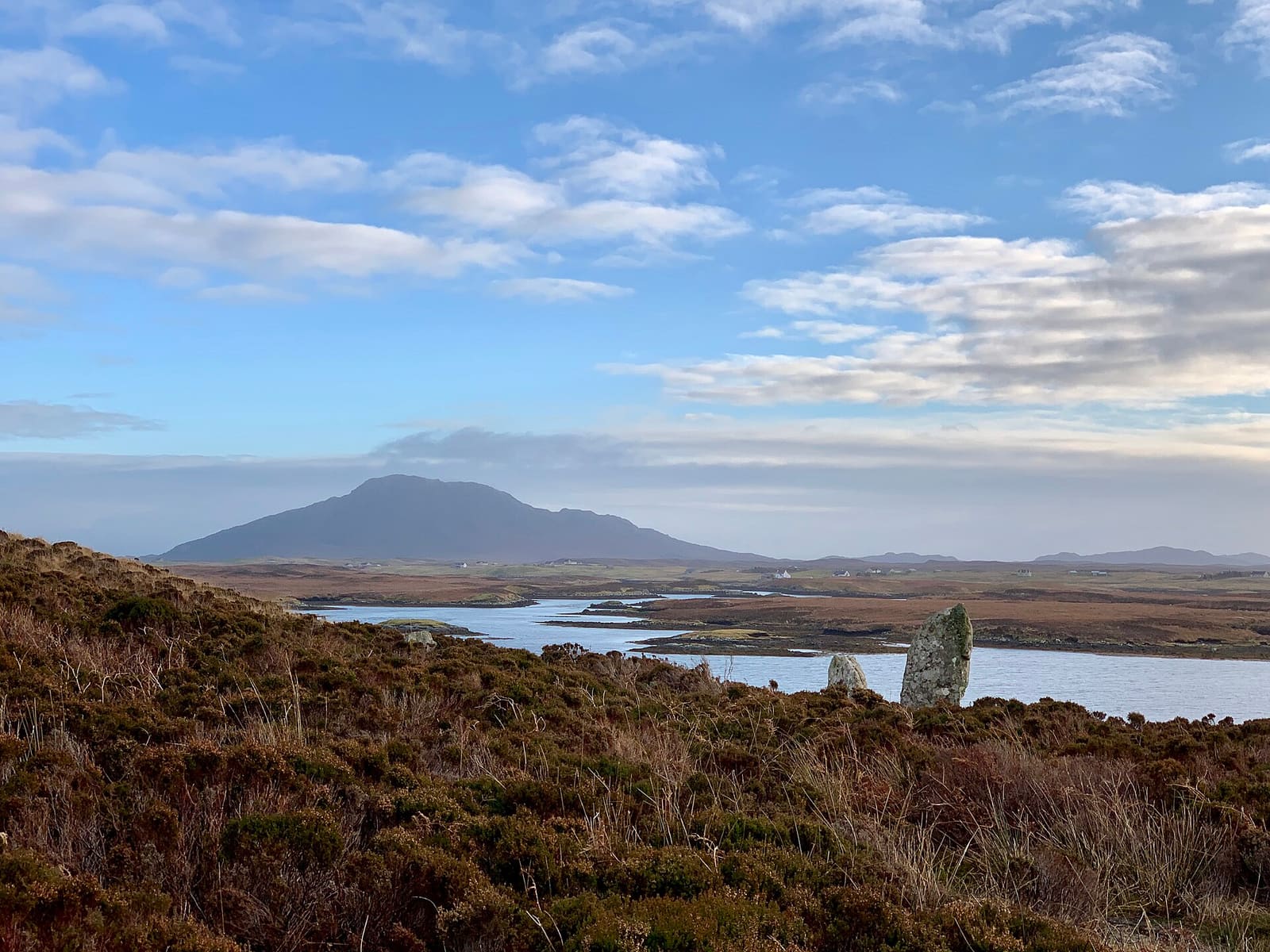
Machair, chambered cairns and causeways from Berneray to Eriskay
Open the mini guide →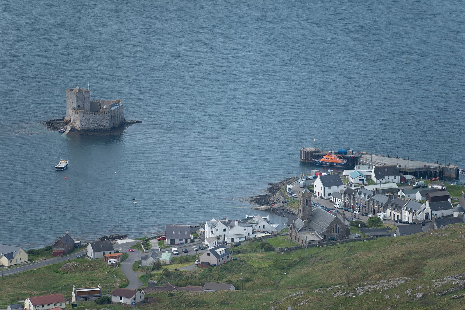
Kisimul Castle, the beach airport and the sands of Vatersay
Open the mini guide →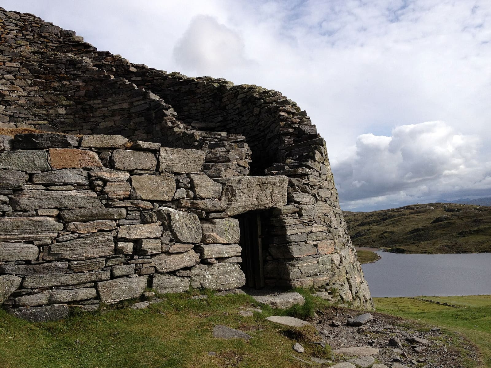
Stornoway, the Calanais Stones, blackhouses and the Butt of Lewis
Open the mini guide →Photos from Wikimedia Commons, used under the licences shown. All photo credits
Keep exploring The Outer Hebrides