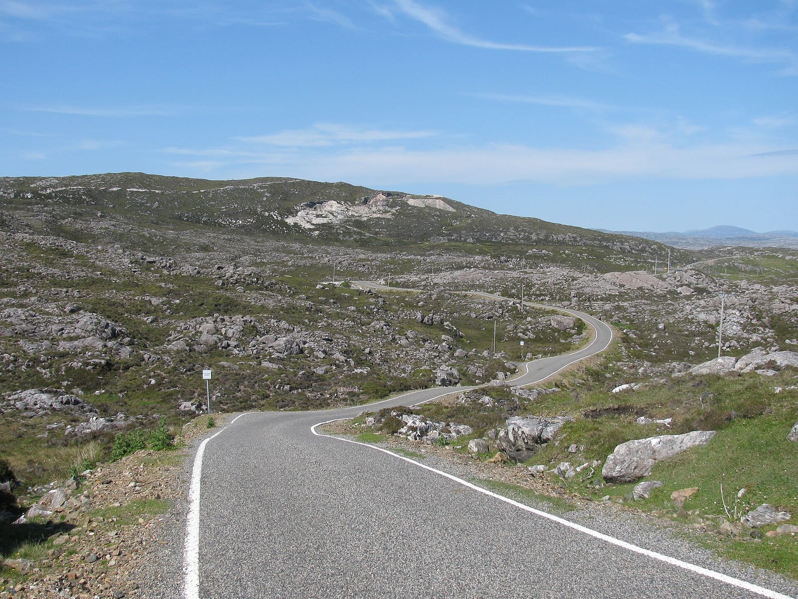
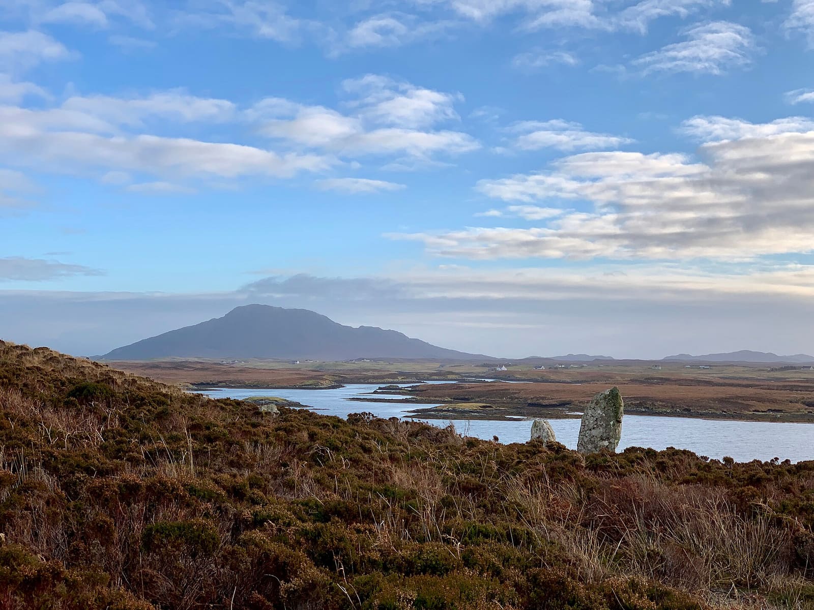
Isle of Harris & Tarbert: Single-track road winding past rocky inlets on the east coast of Harris

Een minigids voor

Isle of Harris & Tarbert

White beaches, the Bays, Tarbert and the church at Rodel

Welkom in het gebied

White beaches, the Bays, Tarbert and the church at Rodel

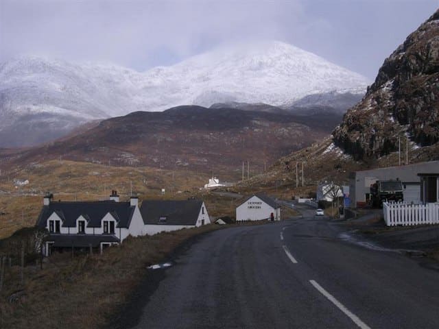
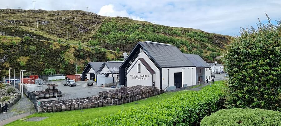
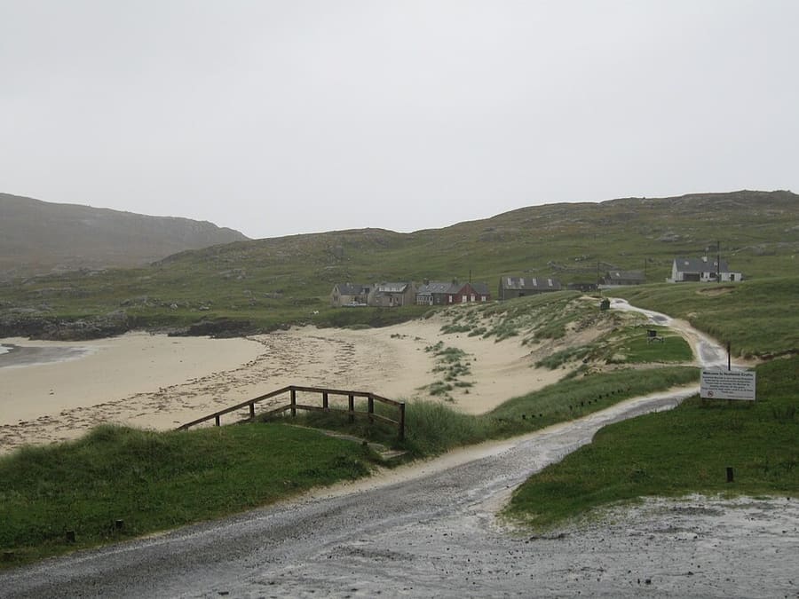
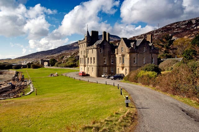
Harris is the southern, more mountainous part of Lewis and Harris. Tarbert is its ferry port and main village, with the Isle of Harris Distillery near the pier. North Harris rises to the Clisham, at 799 metres the highest hill in the Outer Hebrides, and a single-track road runs west past Amhuinnsuidhe Castle to the beach at Hushinish.

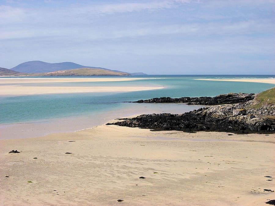
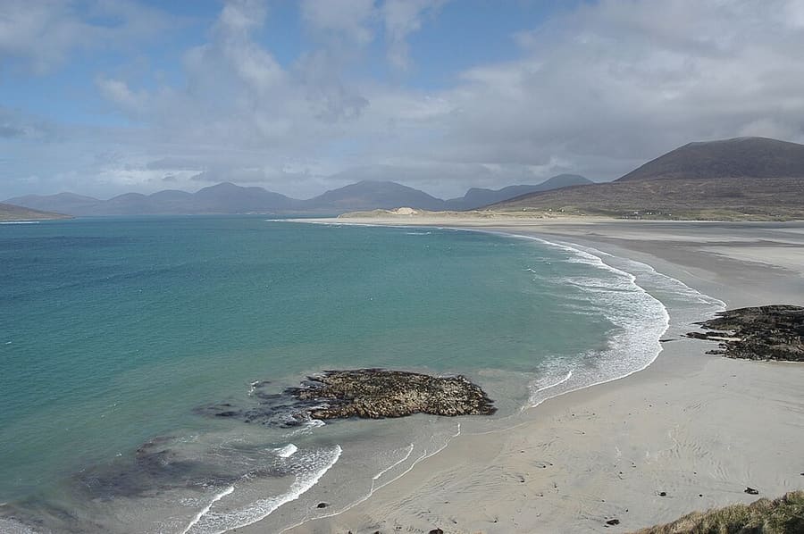
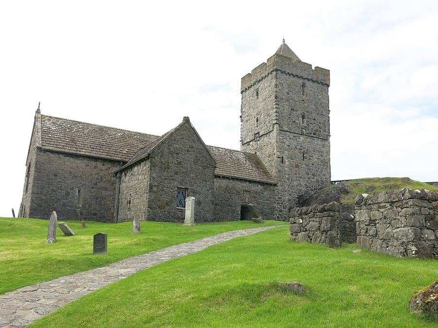
South Harris has the long sands of Luskentyre and Seilebost on the west coast and the rocky Bays on the east. At the southern tip, St Clement's Church at Rodel was built for the MacLeod chiefs around 1500, and the ferry for Berneray and North Uist leaves from Leverburgh.

Hoogtepunten

Begin hier

Hebt u slechts enkele uren, dan zijn dit goede plekken om te beginnen.

Bekijk alle 9 dingen om te doen

Vind uw weg

Op de kaart

The map shows Isle of Harris & Tarbert and the streets around it. The Getting there page lists nearby stops and stations.

Grotere kaart bekijken →

Insidertips

Voor vertrek

1

Drive the single-track roads with care

The roads to Hushinish, the Bays and Scalpay are single-track with passing places. Pull in to let others pass and never park in a passing place.

2

Zwem voorzichtig

The beaches face the open Atlantic and the water is cold. Check conditions and swim only where you are confident.

3

Check seasonal openings

Some cafés close for the winter; The Bothy at Leverburgh, for example, says it is closed until next season.

4

Sundays are quiet

Many businesses on Harris close or open less on Sundays, so plan food and fuel the day before.

Tips van de Britlens-redactie

Fotoverantwoording

Photos from Wikimedia Commons, used under the licences shown. All photo credits