 English (UK)
 English (US)
 Français
 Deutsch
 Español
 Italiano
 Nederlands
 简体中文
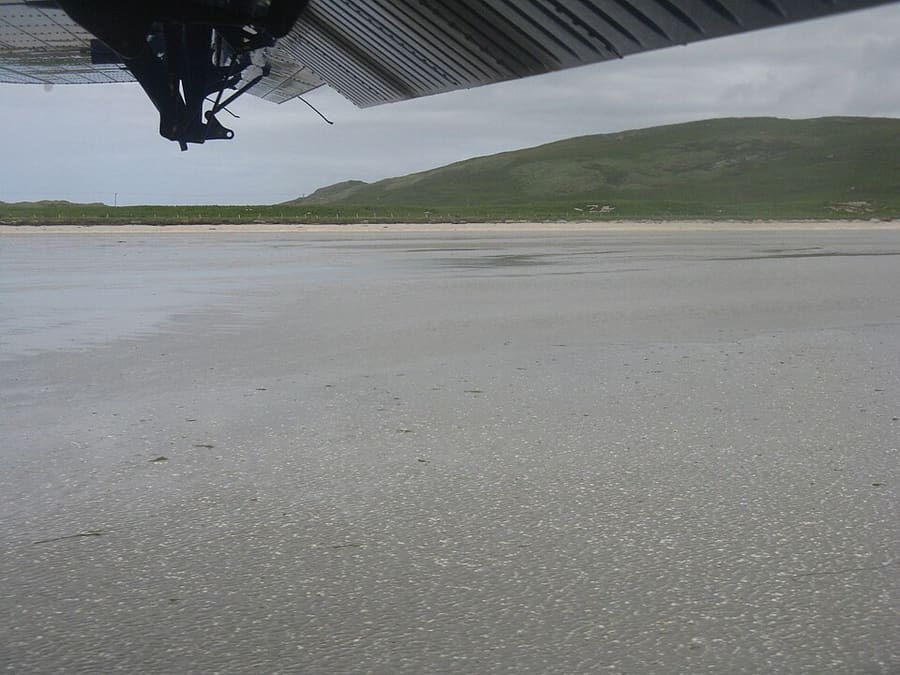
A mini guide to
Barra & Vatersay: tips and FAQs
Local know-how and common questions
Local know-how
Tips for visiting
Check the tide for the airport
Flights use the tidal beach of Tràigh Mhòr. Keep off the beach when the airport is operating and follow the signs.
Book Kisimul in advance
Historic Environment Scotland sells tickets for Kisimul Castle that include the boat crossing at a set time.
Many places are seasonal
Heathbank, for example, says it is closed for the season and reopens bookings in January 2027. Check before you travel out of season.
Book the ferry
CalMac strongly recommends vehicle reservations on the Oban to Castlebay route.
Walk up Heaval
Heaval, the highest hill on Barra at 383 metres, rises about 1.5 km north-east of Castlebay. Take boots and check the weather.
FAQ
Frequently asked questions
Where is Barra & Vatersay?
Barra & Vatersay is in Na h-Eileanan Siar, Scotland. Kisimul Castle, the beach airport and the sands of Vatersay. Nearby stops and stations include Castlebay, Ardmhor, Barra Airport.
How long do I need in Barra & Vatersay?
One or two days; the island ring road is short. Allow longer if you plan to eat out or visit several attractions.
What are the highlights?
Highlights include Kisimul Castle, Barra Airport, Tràigh Mhòr. See the Things to do page for more.
How do I get there?
Nearby: Castlebay (CalMac ferry to Oban); Ardmhor (CalMac ferry to Eriskay); Barra Airport (Flights to Glasgow); Vatersay causeway (Road). The Getting there page links to the official timetables and journey planners.
Where can I eat and drink?
We list 7 places to eat and drink in and around Barra & Vatersay, with filters to help you choose.
Where should I stay?
We list 9 hotels and other places to stay nearby. Check availability and prices with each property.
Is Barra & Vatersay accessible?
Accessibility varies by street, building and venue. Check each attraction or operator’s access information before you travel.
While you are here
Things to see in Barra & Vatersay
A few of the sights in the area. The Things to do page lists them all, with directions and official links.
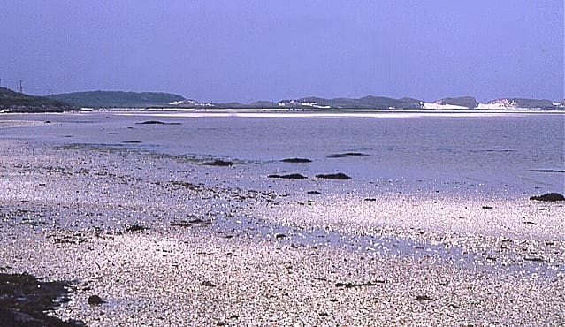
Tràigh Mhòr
Wide shallow bay of cockle sand at the north end of Barra that doubles as the airport runway.
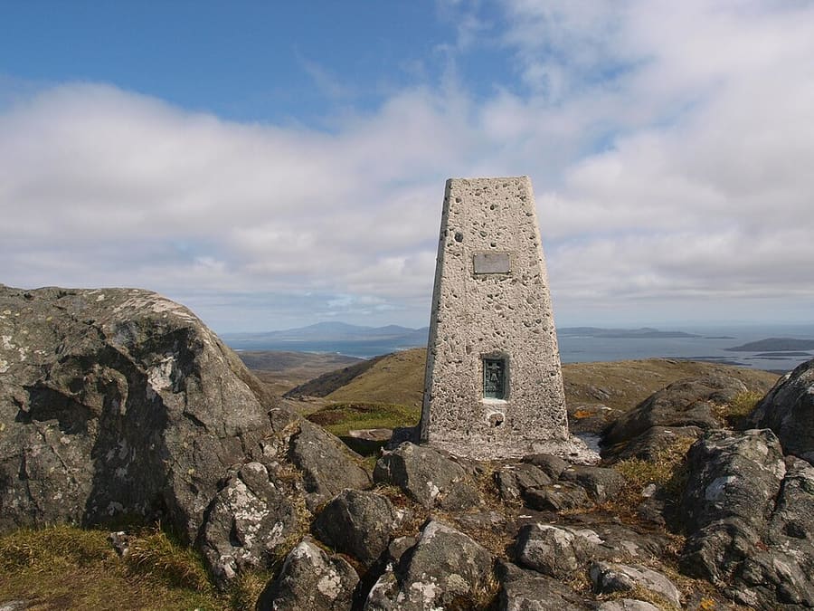
Heaval
Highest hill on Barra at 383 metres, about 1.5 km north-east of Castlebay, with views south over the Barra Isles.
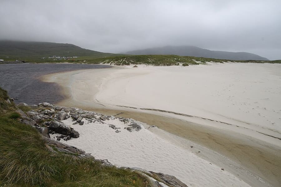
Bàgh Halaman
Sandy bay on the west coast of Barra at Tangasdale, on the island ring road.
The Outer Hebrides
More areas to explore
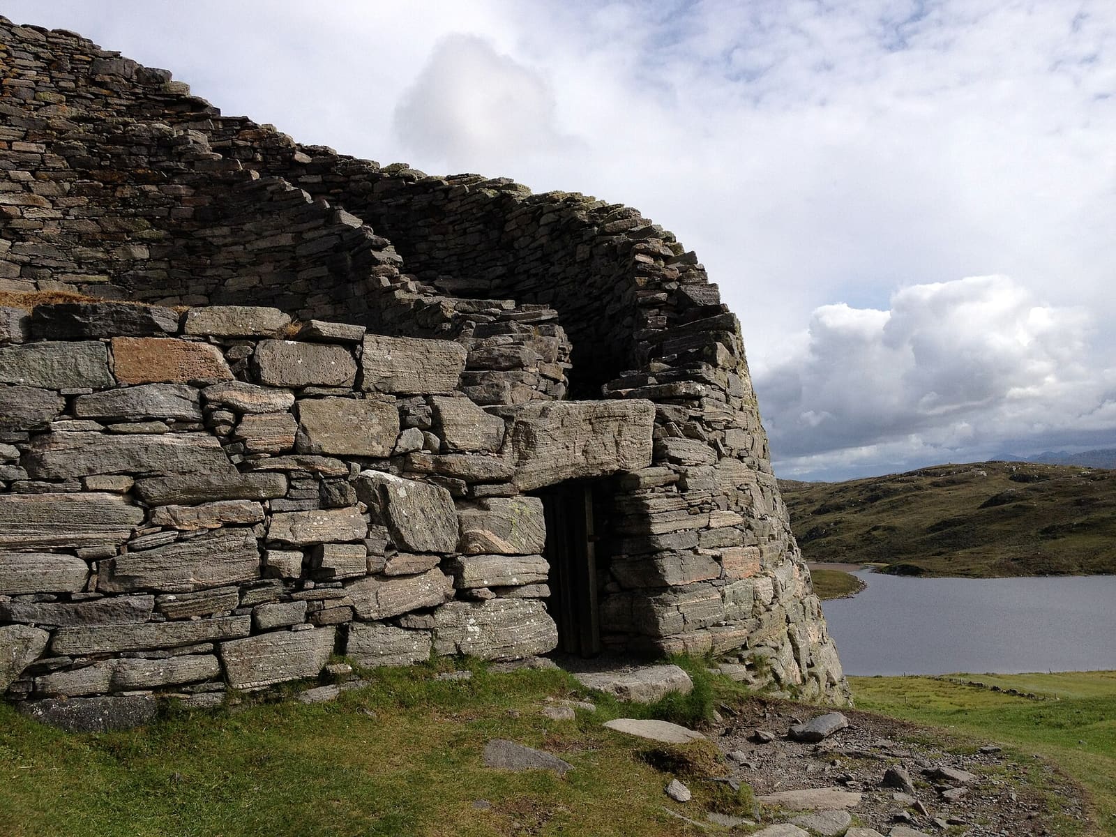
Isle of Lewis & Stornoway
Stornoway, the Calanais Stones, blackhouses and the Butt of Lewis
Open the mini guide →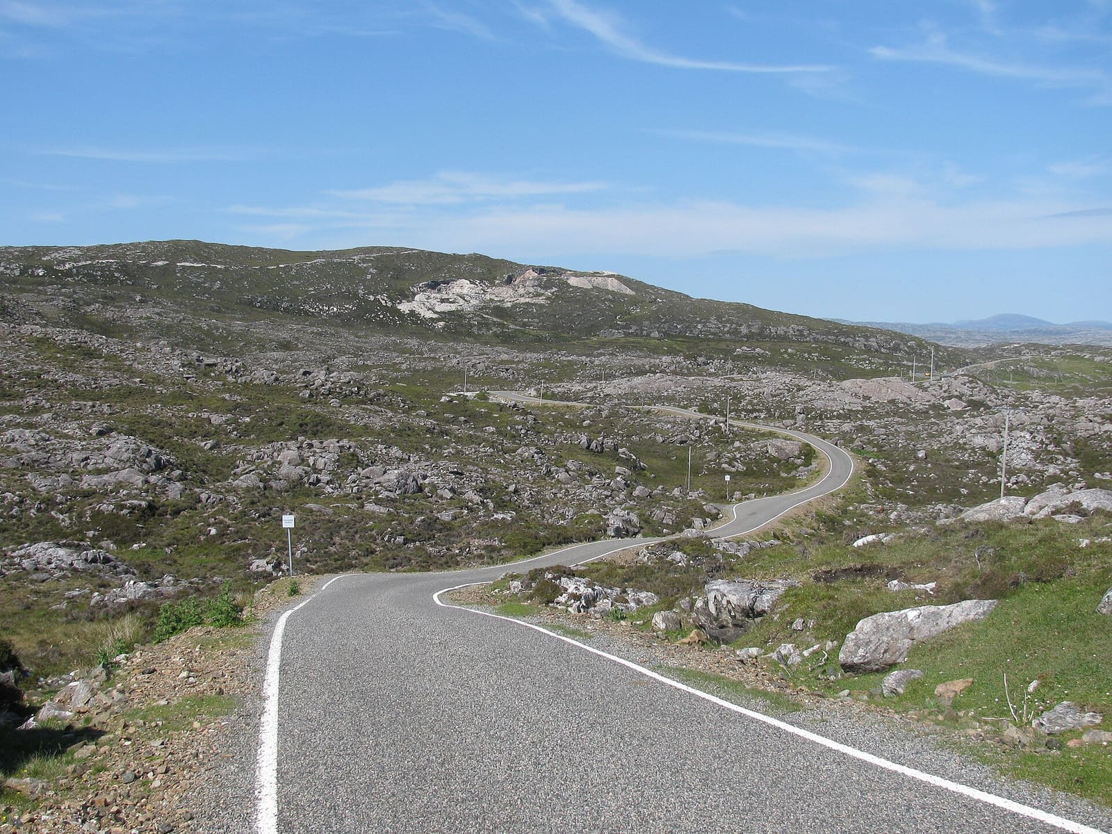
Isle of Harris & Tarbert
White beaches, the Bays, Tarbert and the church at Rodel
Open the mini guide →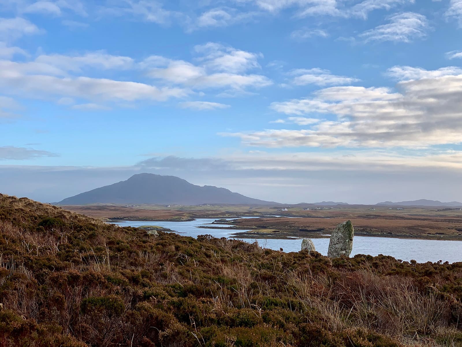
The Uists & Benbecula
Machair, chambered cairns and causeways from Berneray to Eriskay
Open the mini guide →Photo credits
- Barra Airport: M J Richardson, CC BY-SA 2.0, source
- Tràigh Mhòr: Anne Burgess, CC BY-SA 2.0, source
- Heaval: Steve Houldsworth, CC BY-SA 2.0, source
- Bàgh Halaman: Nessy-Pic, CC BY-SA 3.0, source
- Isle of Lewis & Stornoway: LornaMCampbell, CC BY-SA 4.0, source
- Isle of Harris & Tarbert: Zenit, CC BY-SA 3.0, source
- The Uists & Benbecula: Helen Spencer, CC BY-SA 4.0, source
Photos from Wikimedia Commons, used under the licences shown. All photo credits
Keep exploring The Outer Hebrides