 English (UK)
 English (US)
 Français
 Deutsch
 Español
 Italiano
 Nederlands
 简体中文
A mini guide to
Exeter: getting there
Stops, stations and how to reach Exeter
Stops and stations
Getting to Exeter
Choose the stop closest to where you are going.
| Stop or station | Services | Good for |
|---|---|---|
| Exeter St Davids | GWR, South Western Railway, CrossCountry | The main station, west of the centre. Step-free access to all platforms, according to National Rail. |
| Exeter Central | GWR, South Western Railway | The most central station; South Western Railway runs the service to London Waterloo. |
| Exeter Airport | Stagecoach 4A | The airport names bus 4A to Exeter St Davids, with a limited service at weekends and on bank holidays. It is about five miles from the centre. |
Within walking range
Stations near Exeter
Stations and stops mapped in OpenStreetMap within 2.5 km of the centre of Exeter, nearest first. Distances are straight lines; walking times assume 5 km/h and are a minimum.
| Station or stop | Type | Distance | On foot |
|---|---|---|---|
| Exeter Bus Station | Bus or coach station | 600 m | about 7 min |
| Exeter St Thomas | Rail station (Great Western Railway) | 900 m | about 11 min |
| St James' Park | Rail station (Great Western Railway) | 1.0 km | about 12 min |
| Polsloe Bridge | Rail station (Great Western Railway) | 2.2 km | about 26 min |
Station data: © OpenStreetMap contributors (ODbL), read 3 November 2026. Check step-free access with the operator before you travel.
Walking from nearby areas
- Dartmoor: 29.4 km from Exeter, better by public transport
- Torquay, Paignton & Brixham: 31.0 km from Exeter, better by public transport
- Dartmouth, Totnes & the Dart: 37.6 km from Exeter, better by public transport
- Exmoor & Lynmouth: 54.6 km from Exeter, better by public transport
Reaching Devon
Official travel information
Main-line trains run from London and the Midlands to Exeter and Plymouth, Exeter has an airport, and Plymouth has ferries to France and Spain. Always check the operator for current times, fares and disruption.
- GWR: trains to Devon → — Times from London Paddington to Exeter and Plymouth, tickets and live trains
- Visit Devon: getting to Devon → — Train, road, coach and air routes into the county
- Visit Devon: getting around Devon → — Rail lines, the Dartmoor line, buses and cycling
- Exeter Airport → — Bus 4A, taxis and car hire at the airport
- Dartmouth Steam Railway and River Boat Company → — Steam trains Paignton to Kingswear, Dart ferries and river cruises
- Visit Lynton & Lynmouth: how to get here → — Buses from Barnstaple, the Exmoor Coaster and parking
Times, fares and disruption change: use the operator pages above for live information.
Plan your journey here
Enter your starting point and Google Maps will show routes to Exeter. Public transport is selected; change it on the map. Check operator sites for live disruption.
While you are here
Things to see in Exeter
A few of the sights in the area. The Things to do page lists them all, with directions and official links.
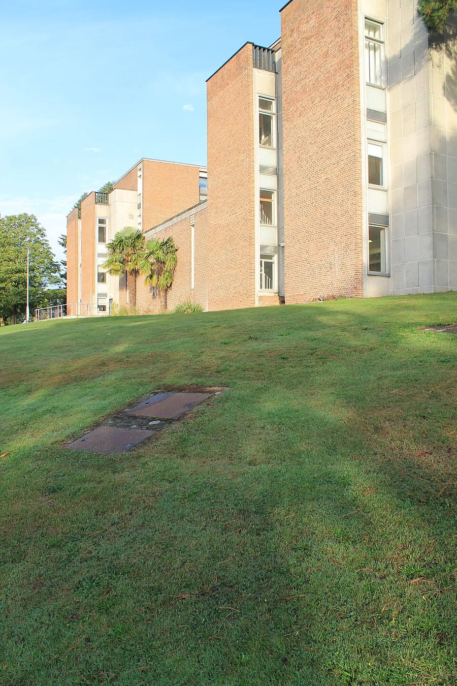
Bill Douglas Cinema Museum
Museum of cinema history on the university's Streatham Campus, holding over 80,000 objects; open to the public since 1997.

Parliament Street
Fourteenth-century lane linking High Street and Waterbeer Street, about 64 cm wide at its narrowest.
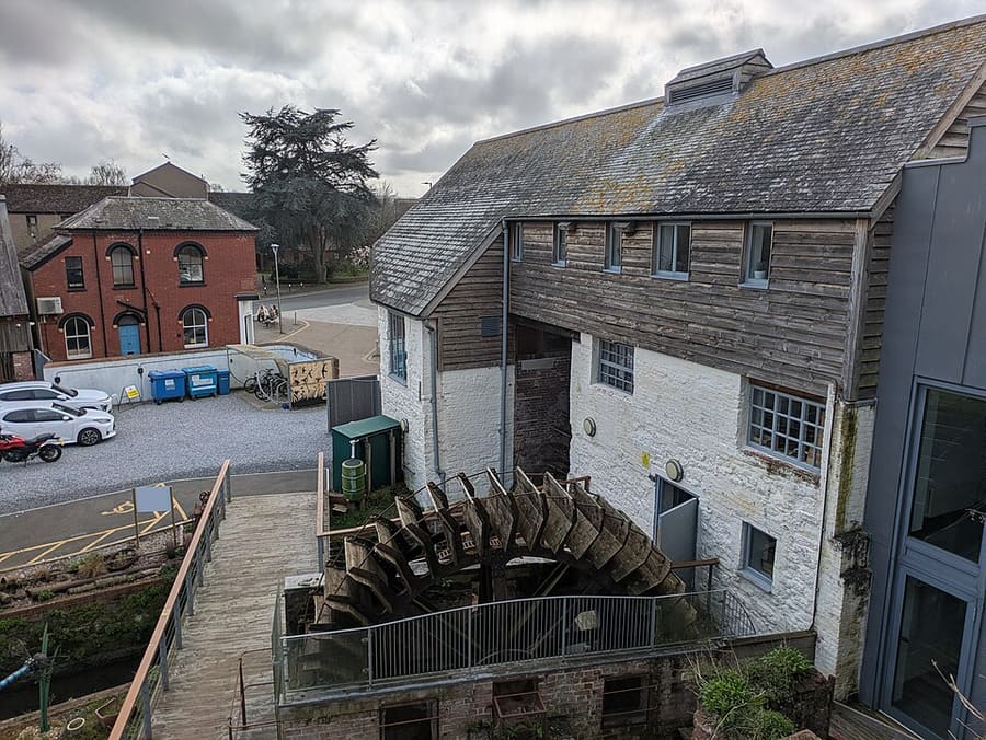
Cricklepit Mill
Restored mill on the quay that is a Devon Wildlife Trust visitor centre and the trust's headquarters.
Devon
More areas to explore
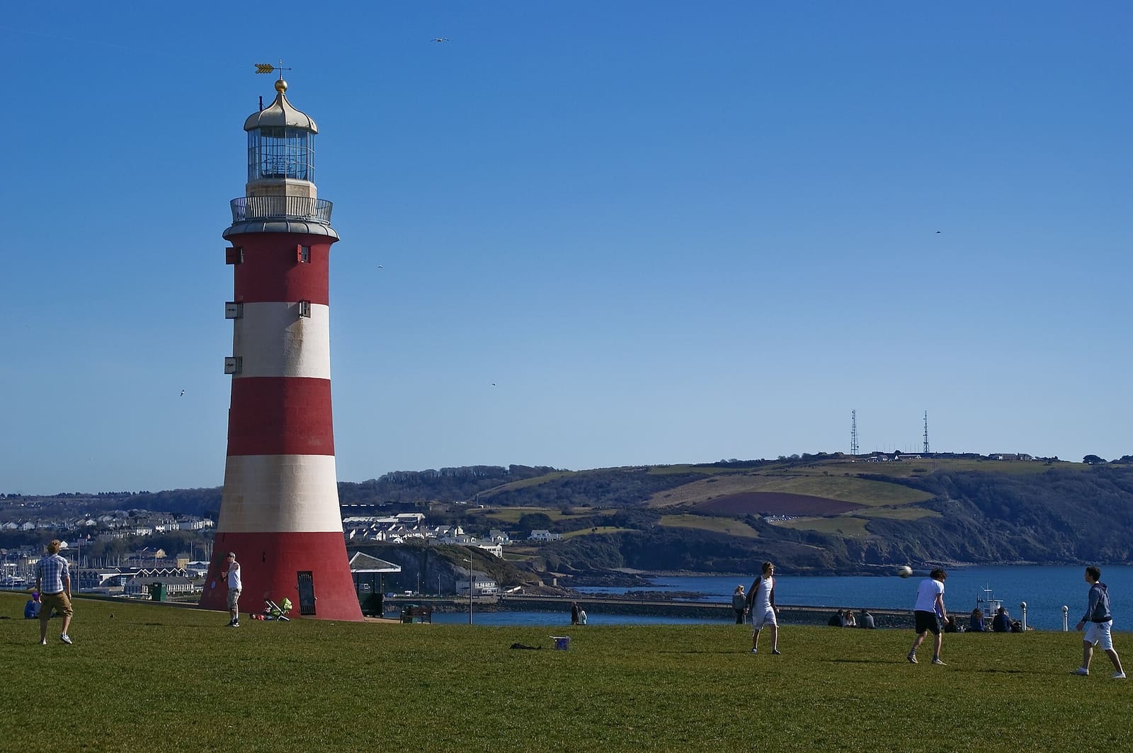
Plymouth
Waterfront city of the Hoe, the Barbican and the Mayflower Steps
Open the mini guide →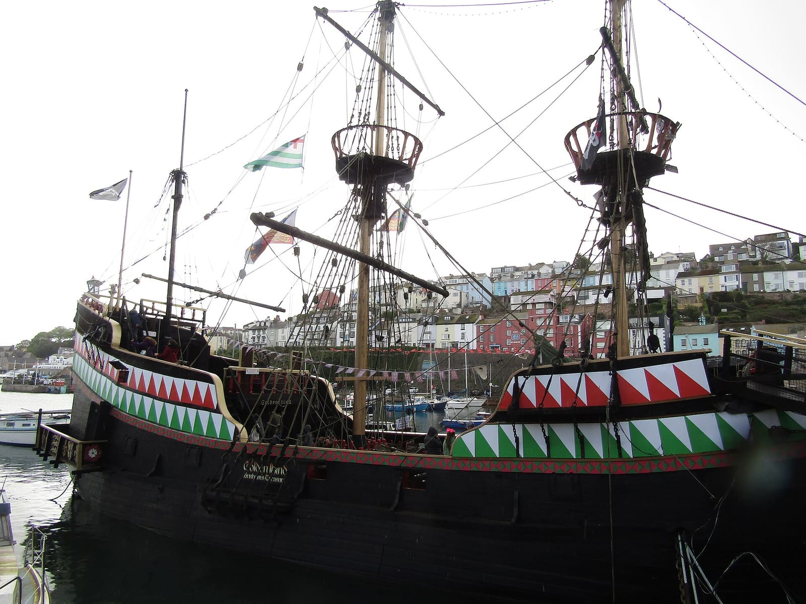
Torquay, Paignton & Brixham
Torbay's three resorts: Torquay's cave and abbey, Paignton's pier and zoo, Brixham's fishing harbour
Open the mini guide →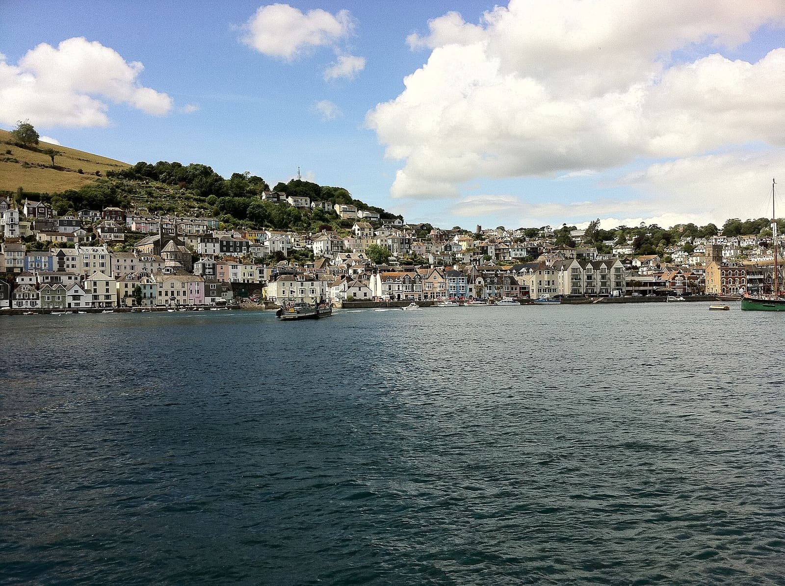
Dartmouth, Totnes & the Dart
Castles at the river mouth, a naval college and a market town at the head of the Dart estuary
Open the mini guide →Photo credits
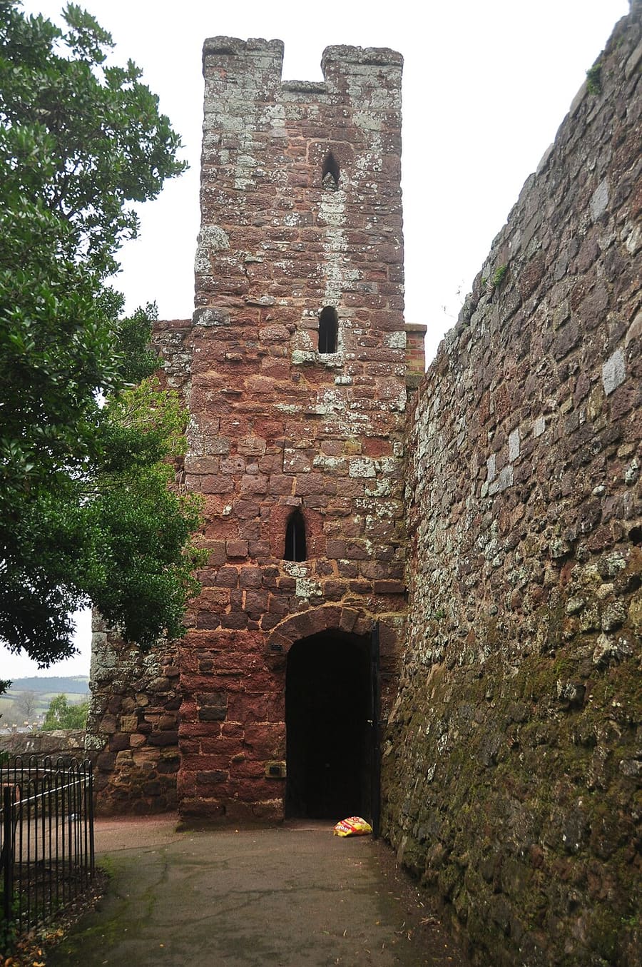
- Exeter city walls: Nilfanion, CC BY-SA 4.0, source
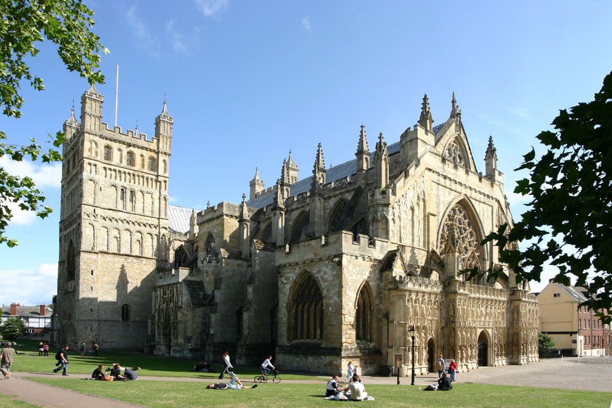
- Exeter (area photo): Rüdiger Wölk, CC BY-SA 2.5, source
- Bill Douglas Cinema Museum: Simon Cobb, CC0, source
- Parliament Street: J Morley, CC BY-SA 3.0, source
- Cricklepit Mill: Simon Cobb, CC0, source
- Plymouth: Herbythyme, CC BY-SA 4.0, source
- Torquay, Paignton & Brixham: Kolforn, CC BY-SA 4.0, source
- Dartmouth, Totnes & the Dart: Andrew Abbott, CC BY-SA 2.0, source
- Dartmoor: Addshore, CC BY-SA 4.0, source
- Exmoor & Lynmouth: Dietmar Rabich, CC BY-SA 4.0, source
Photos from Wikimedia Commons, used under the licences shown. All photo credits
Keep exploring Devon