 English (UK)
 English (US)
 Français
 Deutsch
 Español
 Italiano
 Nederlands
 简体中文
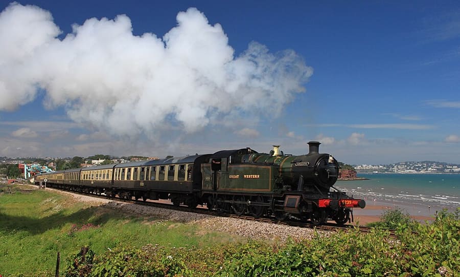
A mini guide to
Dartmouth, Totnes & the Dart: getting there
Stops, stations and how to reach Dartmouth, Totnes & the Dart
Stops and stations
Getting to Dartmouth, Totnes & the Dart
Choose the stop closest to where you are going.
| Stop or station | Services | Good for |
|---|---|---|
| Totnes station | GWR, CrossCountry | On the Exeter to Plymouth line; Visit Devon lists it among the stops of GWR's direct services from London Paddington. |
| Kingswear station | Dartmouth Steam Railway | End of the heritage line from Paignton, next to the passenger ferry pontoon for Dartmouth. |
| Dartmouth ferries | Passenger, Lower and Higher ferries | Three ferries cross the Dart between Dartmouth and Kingswear; the South West Coast Path uses the Lower or passenger ferry. |
| River Dart cruises | Dartmouth Steam Railway and River Boat Company | Cruises between Dartmouth and Totnes; its Round Robin ticket combines steam train, river boat and bus. |
Walking from nearby areas
- Torquay, Paignton & Brixham: 9.1 km from Dartmouth, Totnes & the Dart, better by public transport
- Dartmoor: 29.9 km from Dartmouth, Totnes & the Dart, better by public transport
- Plymouth: 36.3 km from Dartmouth, Totnes & the Dart, better by public transport
- Exeter: 37.6 km from Dartmouth, Totnes & the Dart, better by public transport
Reaching Devon
Official travel information
Main-line trains run from London and the Midlands to Exeter and Plymouth, Exeter has an airport, and Plymouth has ferries to France and Spain. Always check the operator for current times, fares and disruption.
- GWR: trains to Devon → — Times from London Paddington to Exeter and Plymouth, tickets and live trains
- Visit Devon: getting to Devon → — Train, road, coach and air routes into the county
- Visit Devon: getting around Devon → — Rail lines, the Dartmoor line, buses and cycling
- Exeter Airport → — Bus 4A, taxis and car hire at the airport
- Dartmouth Steam Railway and River Boat Company → — Steam trains Paignton to Kingswear, Dart ferries and river cruises
- Visit Lynton & Lynmouth: how to get here → — Buses from Barnstaple, the Exmoor Coaster and parking
Times, fares and disruption change: use the operator pages above for live information.
Plan your journey here
Enter your starting point and Google Maps will show routes to Dartmouth, Totnes & the Dart. Public transport is selected; change it on the map. Check operator sites for live disruption.
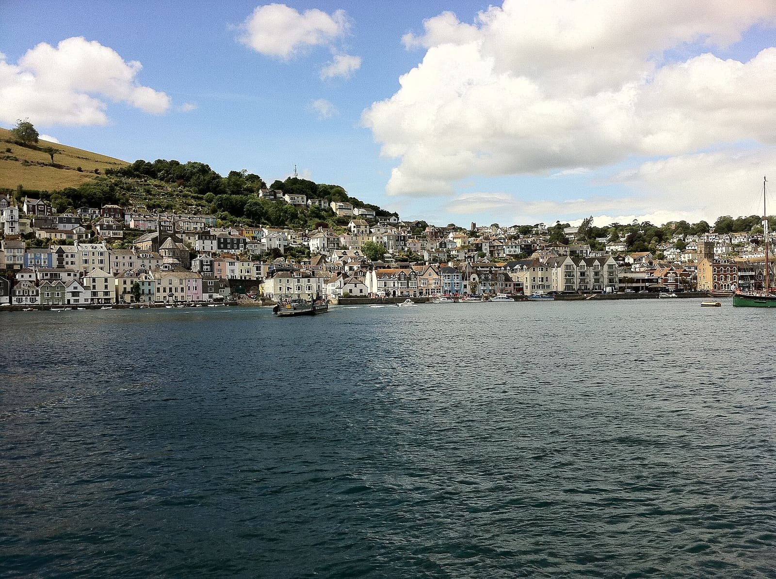
While you are here
Things to see in Dartmouth, Totnes & the Dart
A few of the sights in the area. The Things to do page lists them all, with directions and official links.
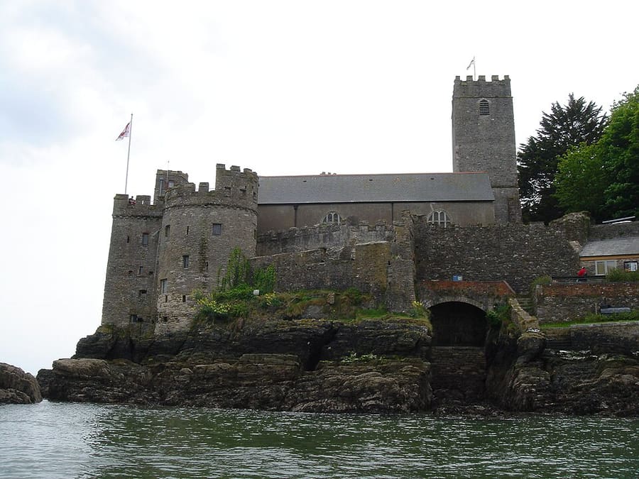
Dartmouth Castle
Artillery fort guarding the mouth of the Dart, begun in the 1380s and later given an early purpose-built gun tower.
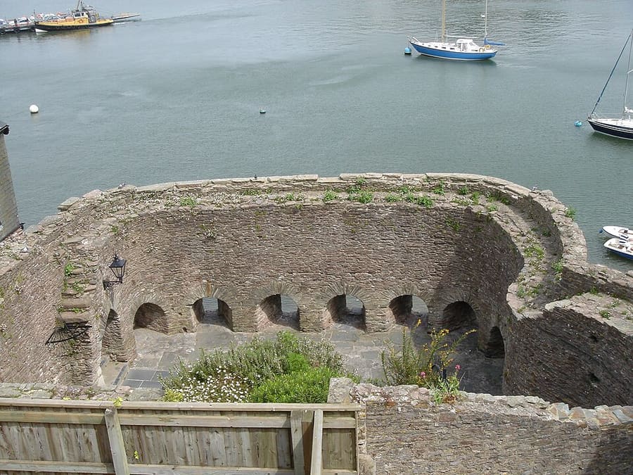
Bayard's Cove Fort
Sixteenth-century artillery blockhouse on the Dartmouth quay with eleven gunports, managed by English Heritage.
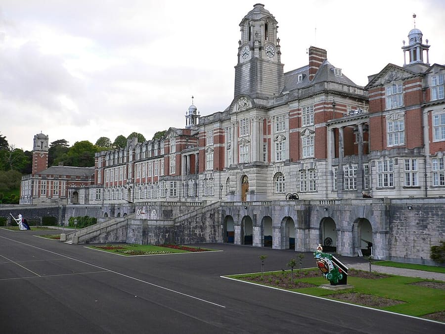
Britannia Royal Naval College
The Royal Navy's officer training college, on a hill above Dartmouth; the current buildings were completed in 1905.
Devon
More areas to explore
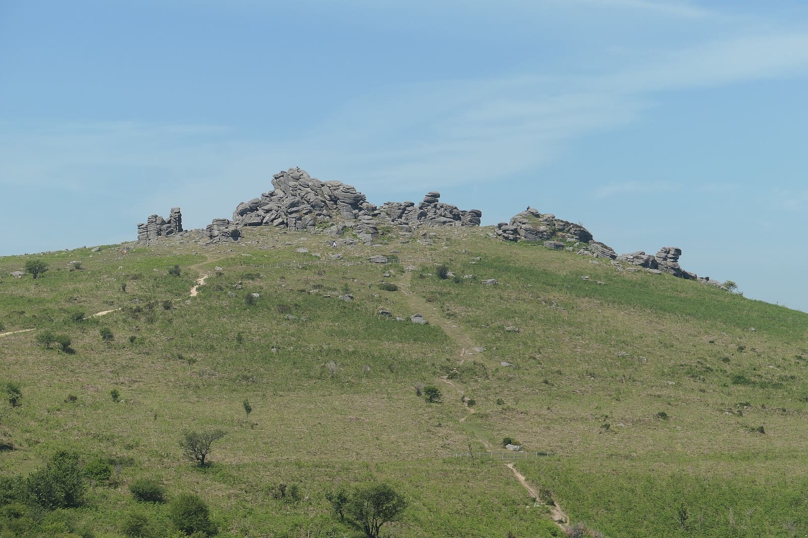
Dartmoor
Granite tors, clapper bridges, Bronze Age sites and moorland villages in a national park
Open the mini guide →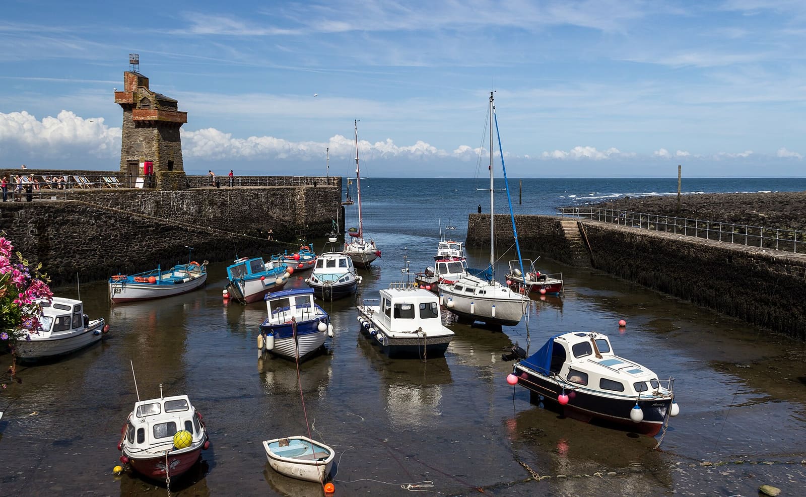
Exmoor & Lynmouth
A cliff railway, wooded gorges and high moorland where Exmoor meets the sea
Open the mini guide →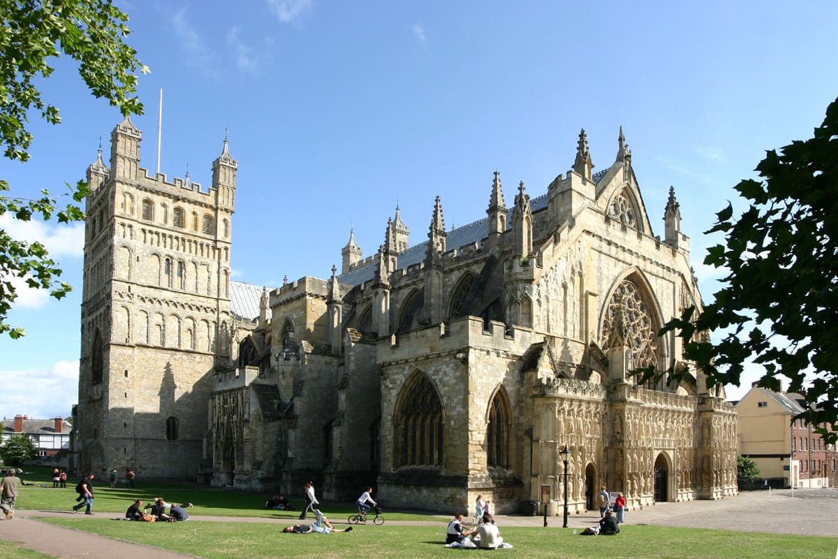
Exeter
Cathedral city on the Exe with Roman walls, medieval passages and a historic quayside
Open the mini guide →Photo credits
- Dartmouth Steam Railway: Geof Sheppard, CC BY-SA 4.0, source
- Dartmouth, Totnes & the Dart (area photo): Andrew Abbott, CC BY-SA 2.0, source
- Dartmouth Castle: Troxx, Public domain, source
- Bayard's Cove Fort: Troxx, Public domain, source
- Britannia Royal Naval College: Andrew Yong at English Wikipedia, CC BY-SA 3.0, source
- Dartmoor: Addshore, CC BY-SA 4.0, source
- Exmoor & Lynmouth: Dietmar Rabich, CC BY-SA 4.0, source
- Exeter: Rüdiger Wölk, CC BY-SA 2.5, source
- Plymouth: Herbythyme, CC BY-SA 4.0, source
- Torquay, Paignton & Brixham: Kolforn, CC BY-SA 4.0, source
Photos from Wikimedia Commons, used under the licences shown. All photo credits
Keep exploring Devon