 English (UK)
 English (US)
 Français
 Deutsch
 Español
 Italiano
 Nederlands
 简体中文
Ein Mini-Guide zu
Callander and the Trossachs: getting there
Stops, stations and how to reach Callander and the Trossachs
Haltestellen und Stationen
Getting to Callander and the Trossachs
Wählen Sie die Haltestelle, die Ihrem Ziel am nächsten liegt.
| Haltestelle oder Station | Services | Gut für |
|---|---|---|
| Callander | Bus from Stirling | The national park suggests the train from Glasgow Queen Street to Stirling and then the bus: about 1 hour 30 minutes in all |
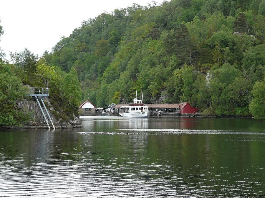
| Trossachs Pier | Loch Katrine cruises | All cruises, including the Steamship Sir Walter Scott, leave from here; cycle hire and a café on site |
| Aberfoyle | By road on the A81 from Glasgow | Loch Katrine Cruises' directions continue over the Duke's Pass road to Loch Katrine; plan buses with Traveline Scotland |
Walking from nearby areas
- Stirling and Bannockburn: 25.1 km from Callander and the Trossachs, better by public transport
Reaching Stirling and the Trossachs
Offizielle Reiseinformationen
Stirling is on the main railway lines north of Glasgow and Edinburgh, and the Trossachs are reached by road or by bus from Stirling. ScotRail, Citylink, Stirling Council and the National Trust for Scotland refused our automated requests, so this page quotes the city's visitor site, Lumo, the national park authority and Loch Katrine Cruises; check the operators for times and fares.
- Your Stirling → — Visitor guide to Stirling, with travel tips
- ScotRail → — Trains to Stirling from Glasgow and Edinburgh (times and fares)
- Lumo → — Direct trains between Stirling and London Euston
- Traveline Scotland → — Bus and coach journey planner
- Loch Lomond & The Trossachs National Park → — Getting to the national park
Zeiten, Preise und Störungen ändern sich: Aktuelle Informationen finden Sie auf den Seiten der Betreiber oben.
Fahrt hierher planen
Enter your starting point and Google Maps will show routes to Callander and the Trossachs. Public transport is selected; change it on the map. Check operator sites for live disruption.
While you are here
Things to see in Callander and the Trossachs
A few of the sights in the area. The Things to do page lists them all, with directions and official links.
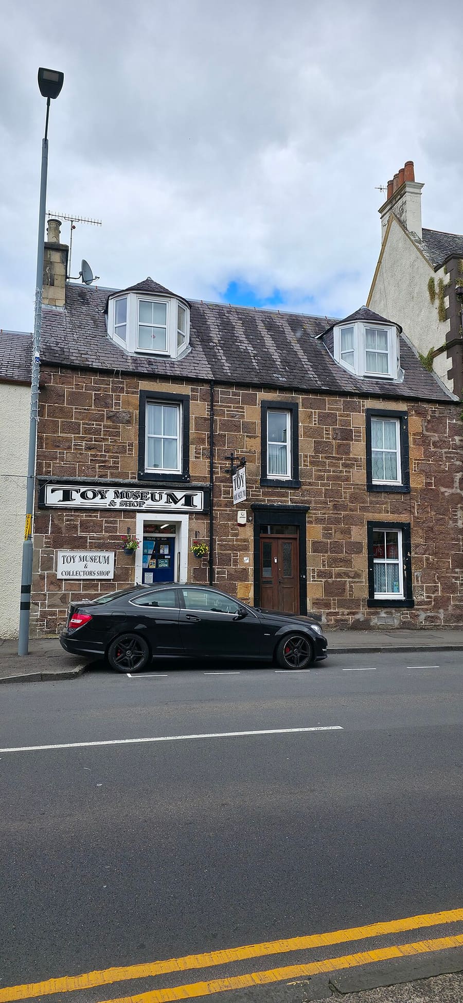
Hamilton Toy Museum
Family toy collection over two floors on Callander's Main Street, open from Easter to the end of October.
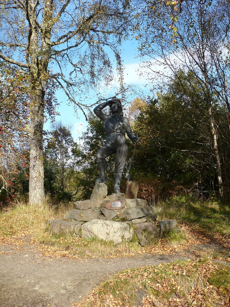
The Lodge Forest Visitor Centre
Forestry and Land Scotland centre in Queen Elizabeth Forest Park; a gentle trail passes the Lumberjills monument to a waterfall.
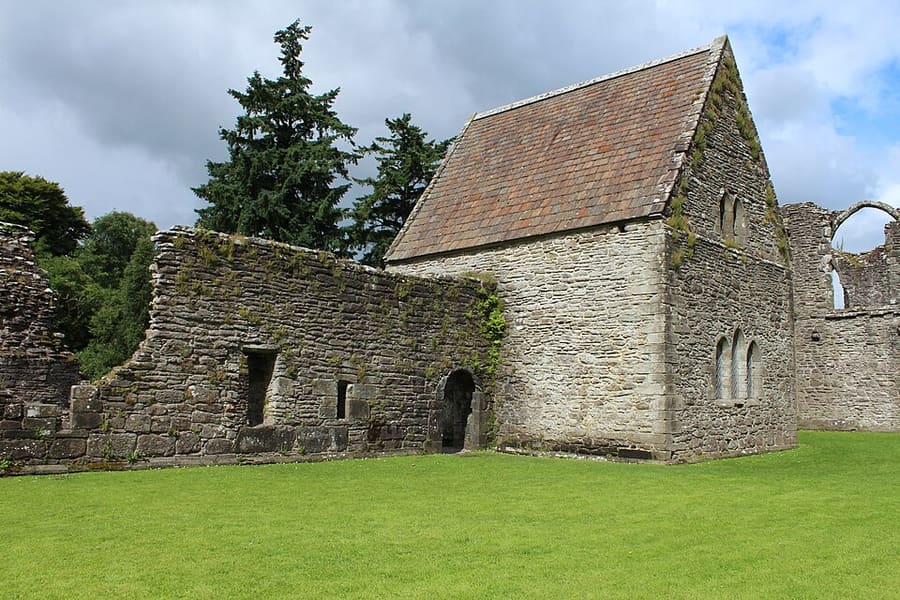
Inchmahome Priory
Augustinian priory founded about 1238 on an island in the Lake of Menteith, reached by boat.
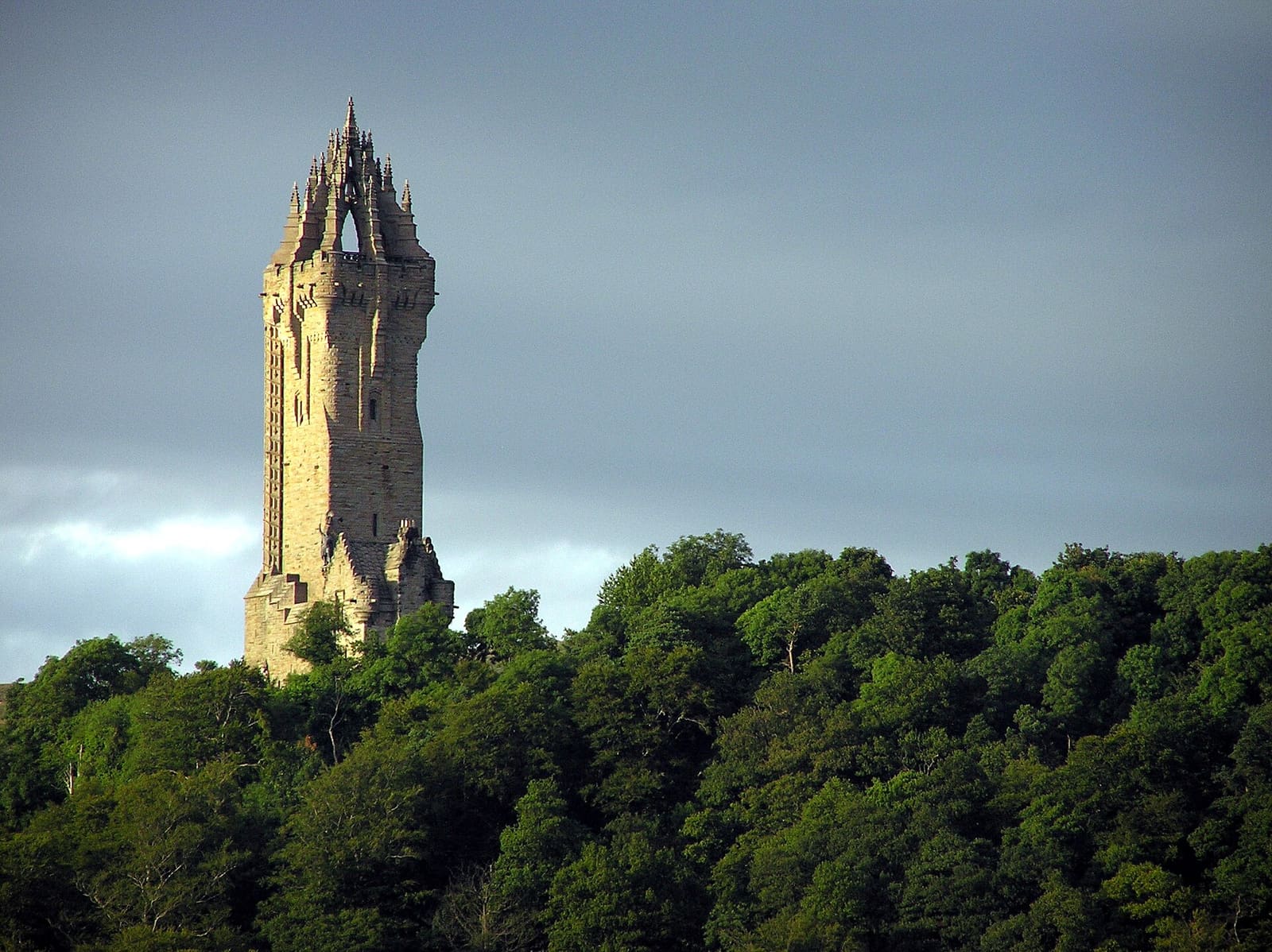
Stirling and the Trossachs
More areas to explore
Fotonachweise
- Steamship Sir Walter Scott, Loch Katrine: Richard Sutcliffe, CC BY-SA 2.0, source
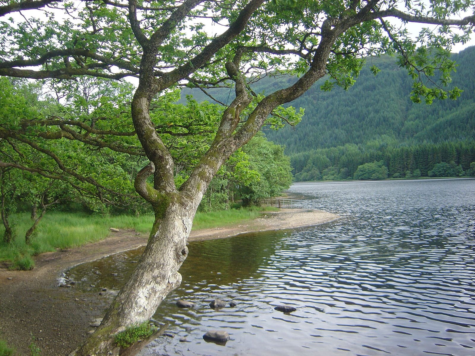
- Callander and the Trossachs (area photo): David Monniaux, CC BY-SA 3.0, source
- Hamilton Toy Museum: Drkirstyross, CC BY-SA 4.0, source
- The Lodge Forest Visitor Centre: Alan O'Dowd, CC BY-SA 2.0, source
- Inchmahome Priory: Billy McCrorie, CC BY-SA 2.0, source
- Stirling and Bannockburn: Finlay McWalter, CC BY-SA 3.0, source
Photos from Wikimedia Commons, used under the licences shown. All photo credits
Keep exploring Stirling and the Trossachs