 English (UK)
 English (US)
 Français
 Deutsch
 Español
 Italiano
 Nederlands
 简体中文
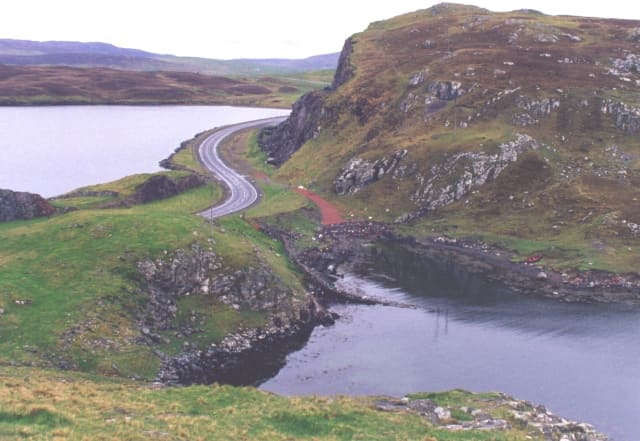
Isthmus
Mavis Grind
Isthmus just over 90 metres wide at its narrowest, joining the Northmavine peninsula to the rest of the Mainland.
Ein Mini-Guide zu
Esha Ness cliffs, Ronas Hill, the islands of Yell and Unst, and Britain's most northerly sights
 1 / 10
Willkommen in der Gegend
North of Mavis Grind, an isthmus just over 90 metres wide, the Northmavine peninsula has the volcanic cliffs of Esha Ness, Hillswick and Ronas Hill, at 450 metres the highest point in Shetland. Further east, short council ferries cross to Yell, the second-largest island, and on to Unst, the most northerly inhabited island in the British Isles.
Unst has Muness Castle, the most northerly castle in the British Isles, the Unst Heritage Centre and Boat Haven at Haroldswick, Bobby's Bus Shelter and the Hermaness National Nature Reserve, which looks out to Muckle Flugga lighthouse. On Yell, the Old Haa Museum at Burravoe is in a merchant's house built in 1672.
Highlights
Wenn Sie nur wenige Stunden haben, beginnen Sie am besten hier.
Isthmus just over 90 metres wide at its narrowest, joining the Northmavine peninsula to the rest of the Mainland.
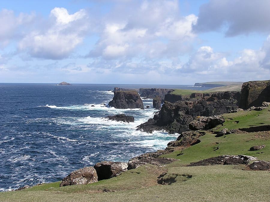
Black volcanic cliffs on the west coast of Northmavine, with sea caves, geos and boulder fields thrown up by storms.
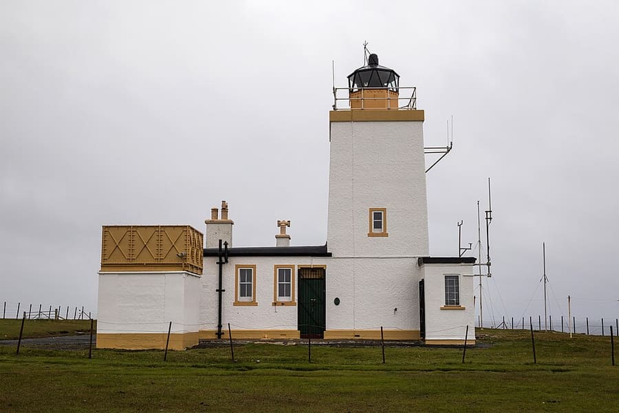
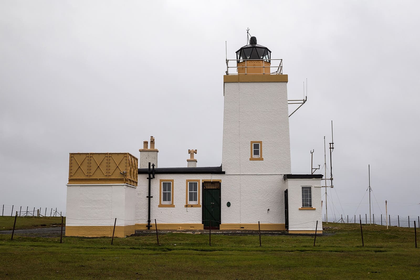
Clifftop lighthouse designed by David Alan Stevenson and commissioned in 1929, just south of Calder's Geo.
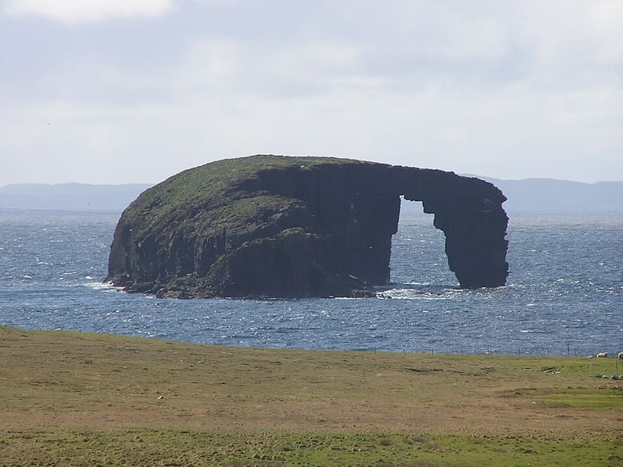
Small islet with a natural arch off the south coast of Esha Ness.
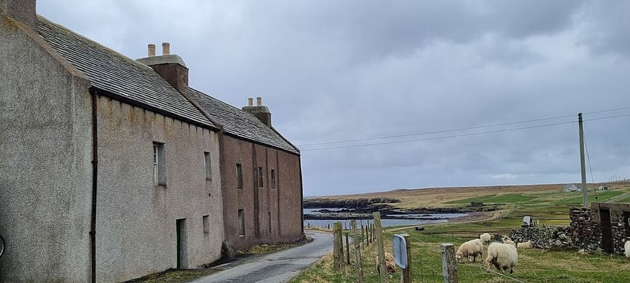
Former laird's house of the Cheyne family at Tangwick, run as a museum since 1987.
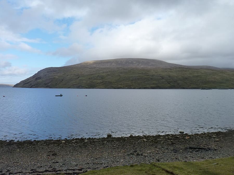
At 450 metres the highest point in Shetland, with a Neolithic chambered cairn near the summit.
Orientierung
The map shows Northmavine, Yell & Unst and the streets around it. The Getting there page lists nearby stops and stations.
Insidertipps
Shetland Islands Council strongly recommends booking vehicle space on the Yell and Unst routes, which are often busy.
Fares on the council ferries are collected during the crossing; for Yell, you pay on the way out from the Mainland only.
Shetland.org says Yell and Unst have fuel pumps but Fetlar and Bressay do not, and some island shops keep short hours.
The cliffs at Esha Ness and Hermaness are high and exposed. Stay on paths, keep back from the edge and avoid them in strong wind.
Tipps der Britlens-Redaktion
Diesen Guide erkunden
Shetland
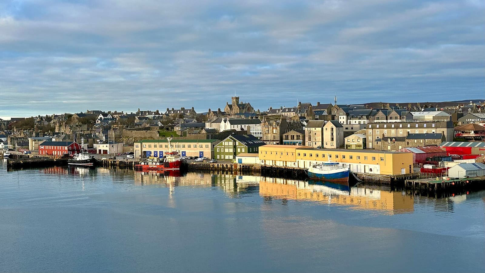
Shetland's harbour town: the museum, Fort Charlotte, Clickimin Broch and the ferry to Bressay
Mini-Guide öffnen →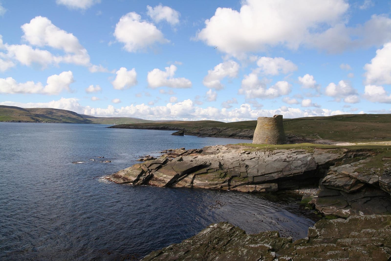
Prehistoric and Norse sites, the Mousa broch, puffin cliffs and the St Ninian's Isle tombolo
Mini-Guide öffnen →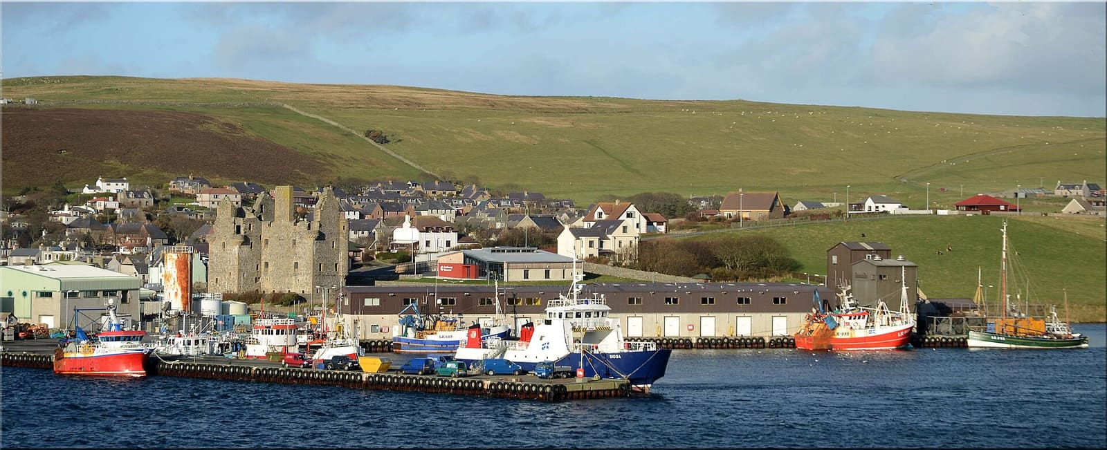
Shetland's old capital, the Shetland Bus story, Tingwall's law site and Neolithic Stanydale
Mini-Guide öffnen →Photos from Wikimedia Commons, used under the licences shown. All photo credits
Keep exploring Shetland