 English (UK)
 English (US)
 Français
 Deutsch
 Español
 Italiano
 Nederlands
 简体中文
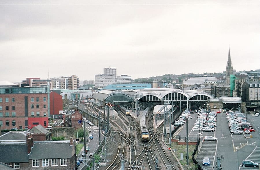
Ein Mini-Guide zu
Grainger Town: getting there
Stops, stations and how to reach Grainger Town
Haltestellen und Stationen
Getting to Grainger Town
Wählen Sie die Haltestelle, die Ihrem Ziel am nächsten liegt.
| Haltestelle oder Station | Services | Gut für |
|---|---|---|
| Monument | Tyne and Wear Metro | Under Grey's Monument, the central stop for Grey Street and the shops |
| Central Station | Tyne and Wear Metro and National Rail | Main railway station; LNER manages it, according to National Rail |
| St James | Tyne and Wear Metro | Metro station beside St James' Park |
| Haymarket | Tyne and Wear Metro | Metro station at the northern end of Northumberland Street, near the universities |
Within walking range
Stations near Grainger Town
Stations and stops mapped in OpenStreetMap within 2.5 km of the centre of Grainger Town, nearest first. Distances are straight lines; walking times assume 5 km/h and are a minimum.
| Station or stop | Art | Entfernung | Zu Fuß |
|---|---|---|---|
| Zentrum | Station | 400 m | about 5 min |
| Newcastle | Station | 500 m | about 6 min |
| Manors | Station | 600 m | about 8 min |
Station data: © OpenStreetMap contributors (ODbL), read 3 November 2026. Check step-free access with the operator before you travel.
Walking from nearby areas
- Quayside and Gateshead: 700 m from Grainger Town, about 9 min on foot
- Ouseburn and Jesmond: 1.4 km from Grainger Town, about 17 min on foot
- Tynemouth: 12.9 km from Grainger Town, better by public transport
Reaching Newcastle and Gateshead
Offizielle Reiseinformationen
Newcastle has an international airport on the Metro network and a main-line station in the city centre. Always check the operator for current times, fares and disruption.
- Travel North East: Metro → — stations, timetables and tickets
- Travel North East: Shields Ferry → — North Shields to South Shields
- National Rail: Newcastle station → — facilities, step-free access and departures
- Newcastle International Airport → — flights and airport information
- Newcastle City Council → — local information
Zeiten, Preise und Störungen ändern sich: Aktuelle Informationen finden Sie auf den Seiten der Betreiber oben.
Fahrt hierher planen
Enter your starting point and Google Maps will show routes to Grainger Town. Public transport is selected; change it on the map. Check operator sites for live disruption.
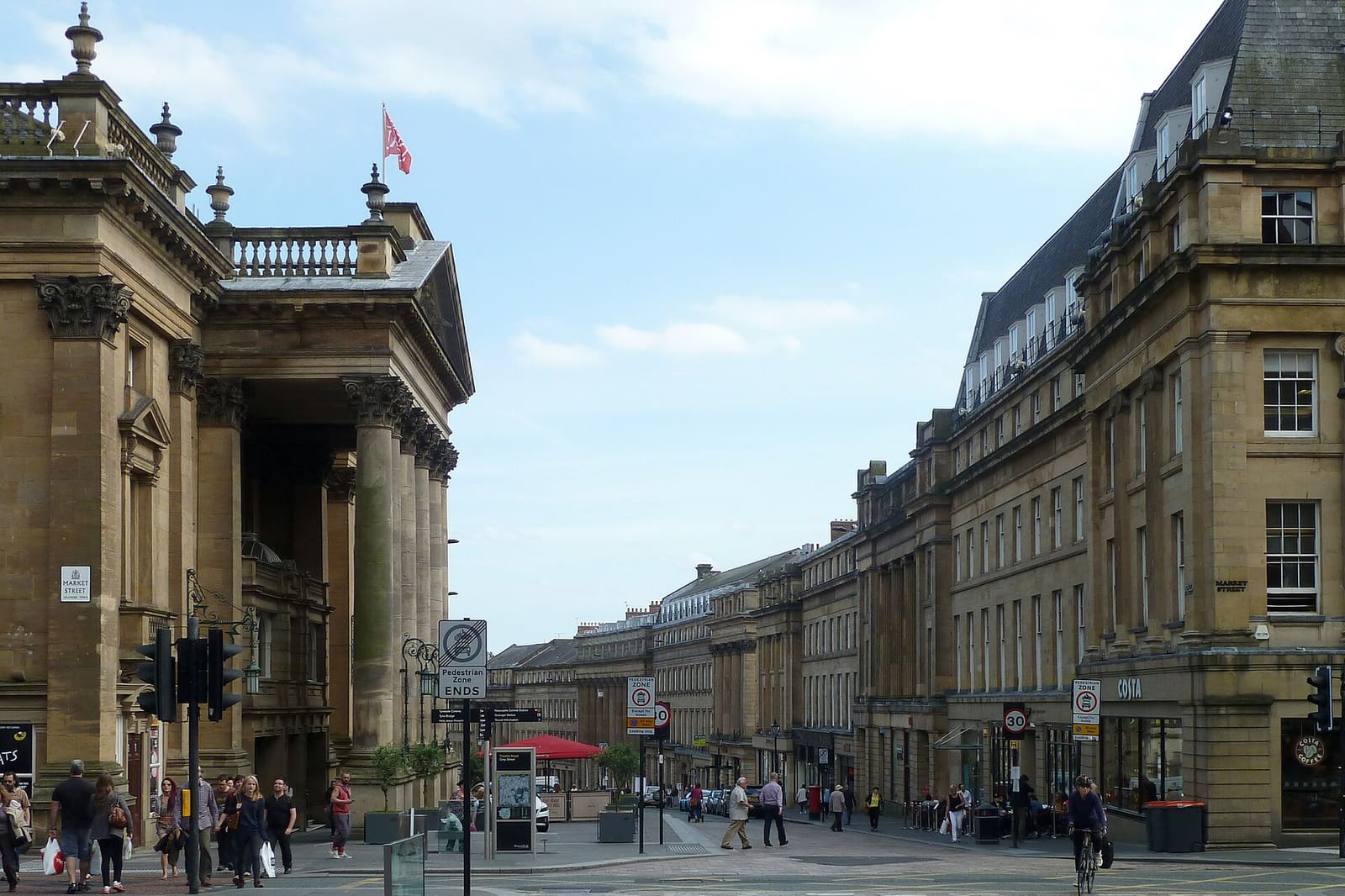
While you are here
Things to see in Grainger Town
A few of the sights in the area. The Things to do page lists them all, with directions and official links.
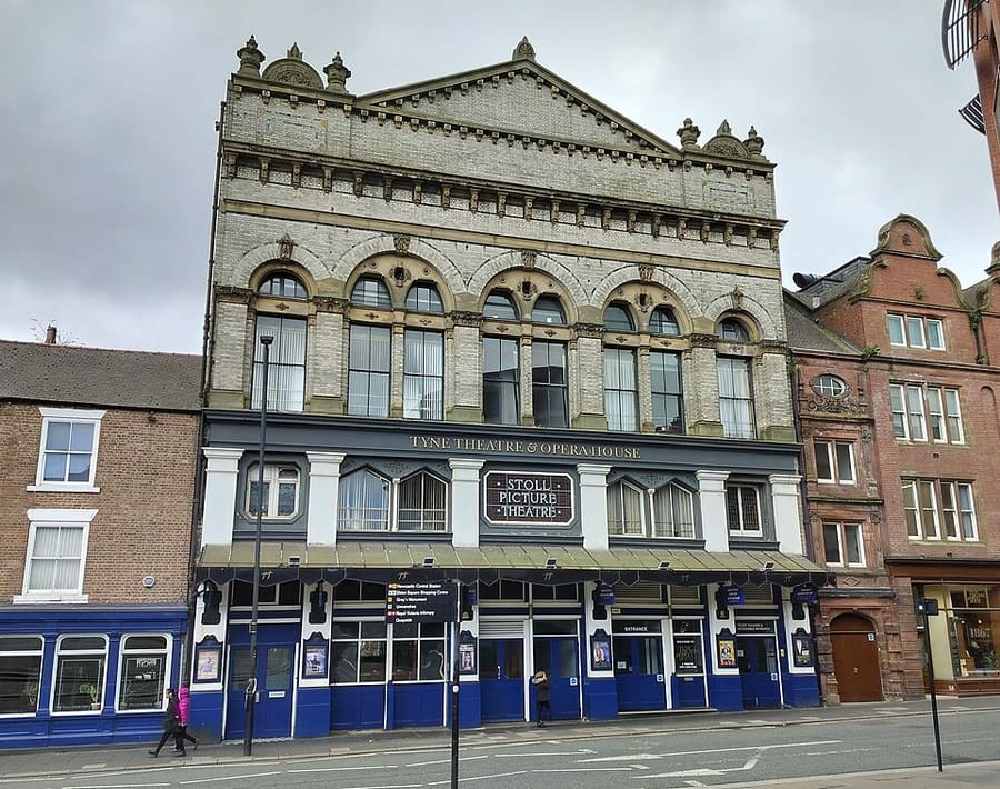
Tyne Theatre and Opera House
Grade I listed Victorian theatre on Westgate Road, opened in 1867.
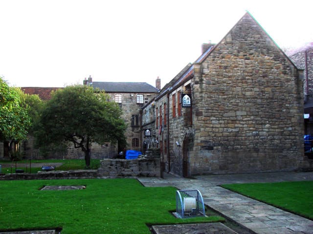
Blackfriars
Restored Grade I listed 13th-century former friary close to Chinatown.
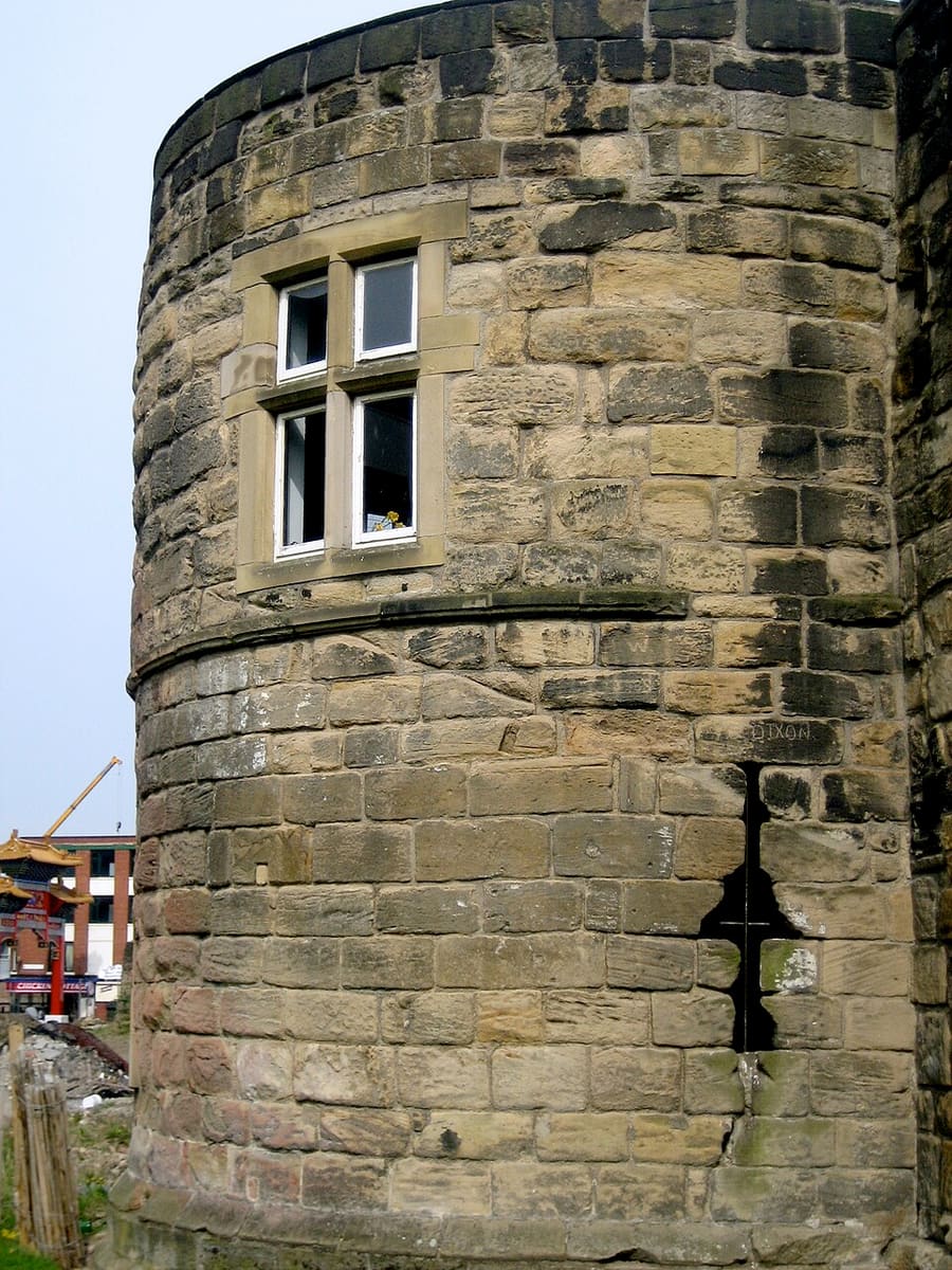
Morden Tower
Tower on the West Walls, a Scheduled Monument and Grade I listed building known for its poetry readings.
Newcastle and Gateshead
More areas to explore
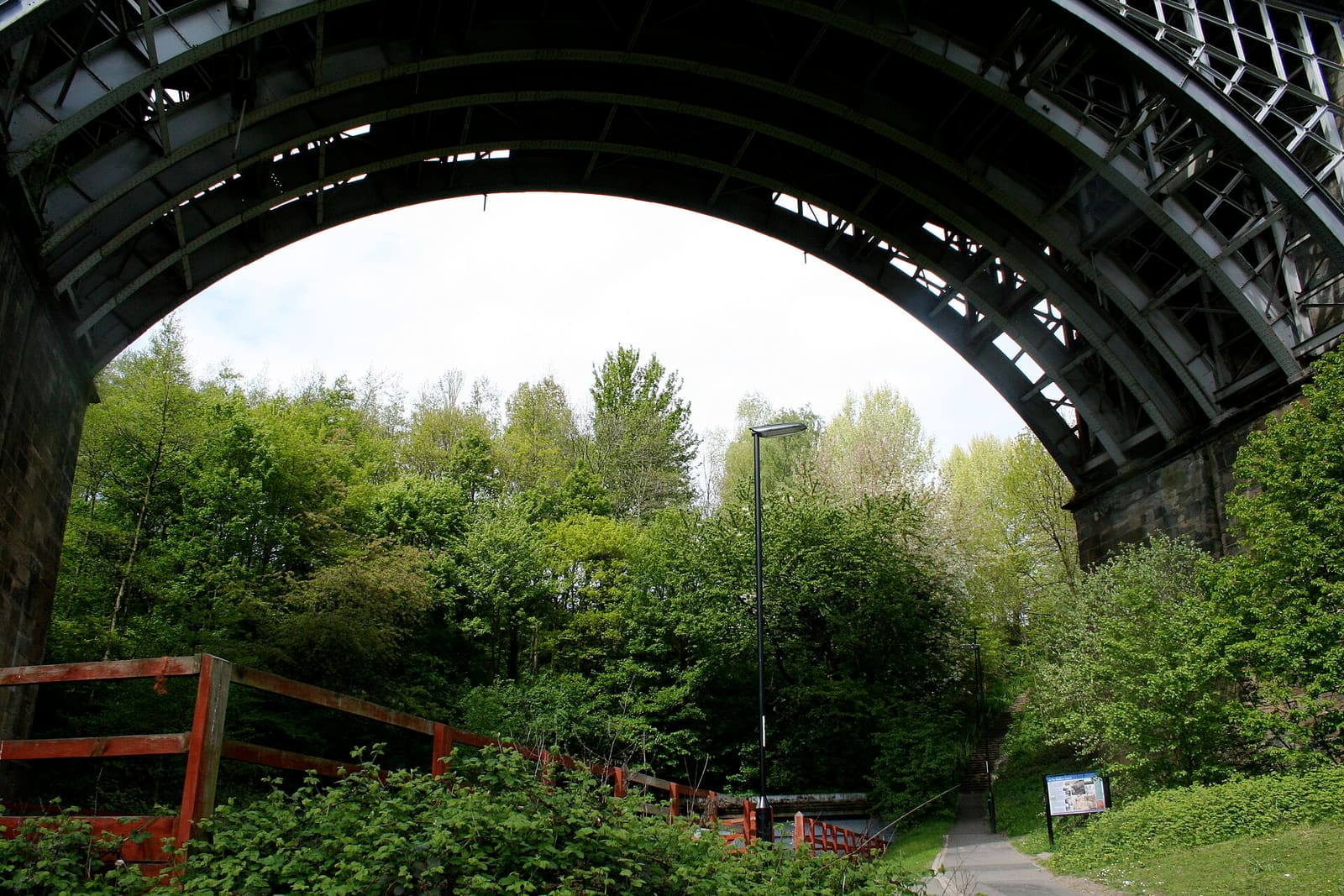
Ouseburn and Jesmond
A valley of workshops, pubs and children's books, and a wooded dene
Mini-Guide öffnen →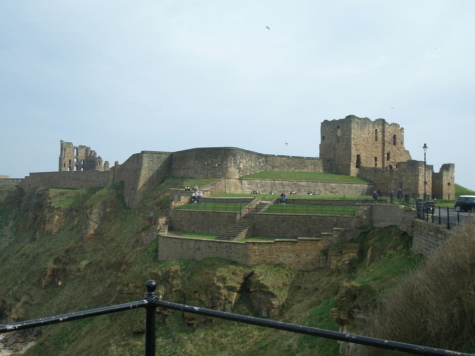
Tynemouth
A priory on the headland, beaches, and the fish quay at North Shields
Mini-Guide öffnen →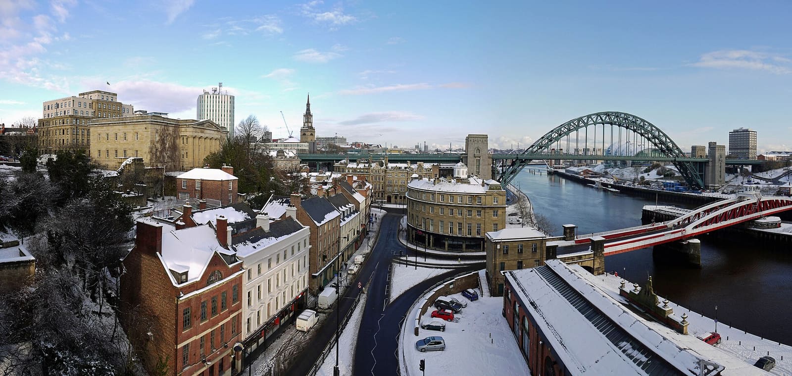
Quayside and Gateshead
Seven bridges, two riverbanks and the oldest streets in the city
Mini-Guide öffnen →Fotonachweise
- Newcastle Central Station: Brendadada, CC BY-SA 2.0, source
- Grainger Town (area photo): JimmyGuano, CC BY-SA 4.0, source
- Tyne Theatre and Opera House: Geoff Holland, CC BY-SA 2.0, source
- Blackfriars: Bill Henderson, CC BY-SA 2.0, source
- Morden Tower: John Wigham from Newcastle upon Tyne, England, CC BY 2.0, source
- Ouseburn and Jesmond: Mary Carson, CC BY-SA 3.0, source
- Tynemouth: Dposte46, Public domain, source
- Quayside and Gateshead: Andrew Curtis, CC BY-SA 2.0, source
Photos from Wikimedia Commons, used under the licences shown. All photo credits
Keep exploring Newcastle and Gateshead