 English (UK)
 English (US)
 Français
 Deutsch
 Español
 Italiano
 Nederlands
 简体中文
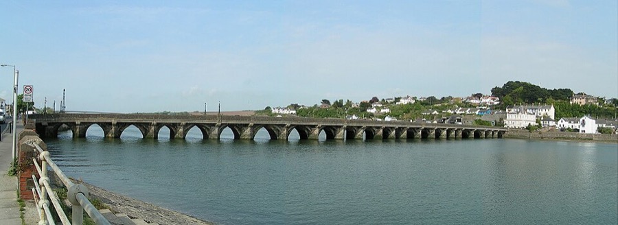
Ein Mini-Guide zu
Bideford, Appledore & Westward Ho!: getting there
Stops, stations and how to reach Bideford, Appledore & Westward Ho!
Haltestellen und Stationen
Getting to Bideford, Appledore & Westward Ho!
Wählen Sie die Haltestelle, die Ihrem Ziel am nächsten liegt.
| Haltestelle oder Station | Services | Gut für |
|---|---|---|
| Bideford Quay | MS Oldenburg to Lundy (some sailings) | The ferry also uses Ilfracombe; check which port your sailing uses |
| Lokale Busse | Bideford, Appledore, Westward Ho! | Use Traveline for current routes and times |
Walking from nearby areas
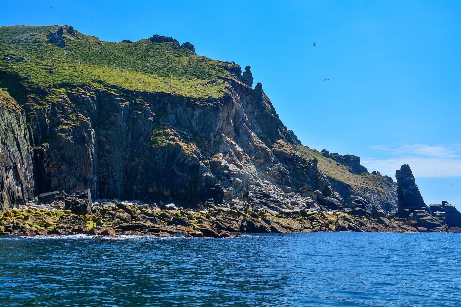
- Lundy island: 36.0 km from Bideford, Appledore & Westward Ho!, better by public transport
Reaching Lundy
Offizielle Reiseinformationen
Lundy has no car ferry and visitors do not take cars. All crossings are run by the Landmark Trust. Its website refused our automated check, so the details below come from Wikipedia and the Lundy Field Society; confirm dates, times and fares with the Landmark Trust before you travel.
- Landmark Trust: Lundy → — the operator of the ship, helicopter and all accommodation; its site refused our automated check
- Lundy Field Society: island tour → — history of each site on the island
- Traveline → — buses to Bideford, Appledore and Westward Ho!
Zeiten, Preise und Störungen ändern sich: Aktuelle Informationen finden Sie auf den Seiten der Betreiber oben.
Fahrt hierher planen
Enter your starting point and Google Maps will show routes to Bideford, Appledore & Westward Ho!. Public transport is selected; change it on the map. Check operator sites for live disruption.
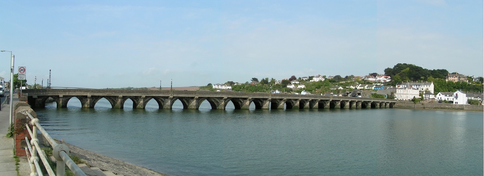
While you are here
Things to see in Bideford, Appledore & Westward Ho!
A few of the sights in the area. The Things to do page lists them all, with directions and official links.
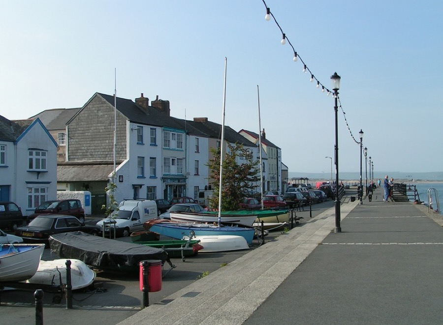
Appledore Quay
Quay at the mouth of the Torridge in Appledore, lined with houses and boats.
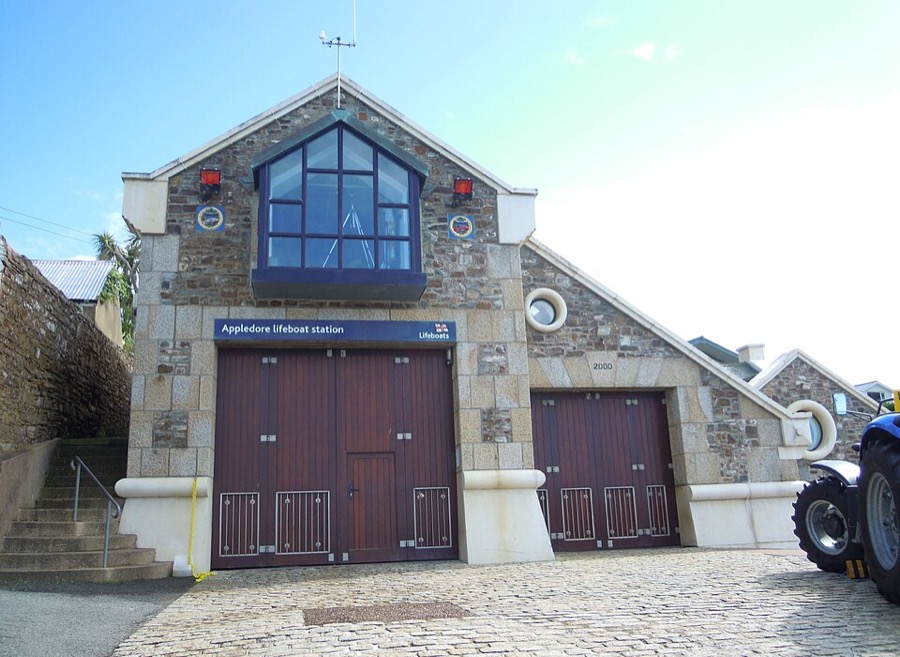
Appledore Lifeboat Station
RNLI station at the end of Irsha Street; a lifeboat has been based at Appledore since 1825.
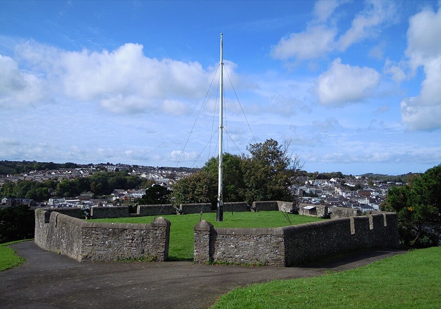
Chudleigh Fort
Civil War gun platform in East-the-Water, rebuilt in the 19th century as a stone viewpoint over the town.
Fotonachweise
- Bideford Long Bridge: Sannse at English Wikipedia, CC BY-SA 3.0, source
- Bideford, Appledore & Westward Ho! (area photo): Sannse at English Wikipedia, CC BY-SA 3.0, source
- Appledore Quay: Sannse at English Wikipedia, CC BY-SA 3.0, source
- Appledore Lifeboat Station: User:Jack1956, CC0, source
- Chudleigh Fort: User:Jack1956, CC0, source
- Lundy island: Lewis Clarke, CC BY-SA 2.0, source
Photos from Wikimedia Commons, used under the licences shown. All photo credits
Keep exploring Lundy