English (UK)
 English (US)
 Français
 Deutsch
 Español
 Italiano
 Nederlands
 简体中文
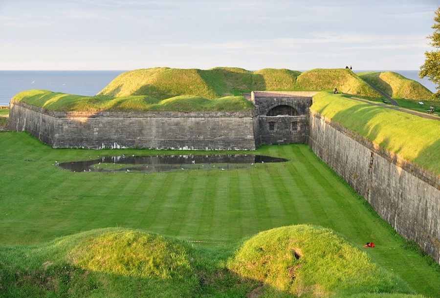
Town walls
Berwick town walls
Defences around the old town; you can walk much of the circuit on top of the ramparts, looked after by English Heritage.
Ein Mini-Guide zu
England's northernmost town: the station, buses and walls for a Holy Island trip
 1 / 2
Willkommen in der Gegend
Berwick-upon-Tweed is the northernmost town in England, about 2.5 miles south of the Scottish border at the mouth of the River Tweed. Its railway station is on the East Coast Main Line, and it is the nearest town to Holy Island: Berwick Tourist Information Centre has the tide tables and the bus times for the island.
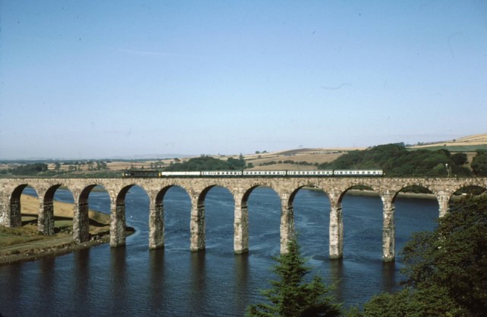
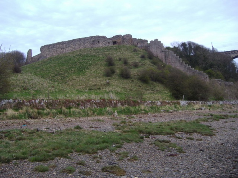
The old town is ringed by Elizabethan walls and ramparts, and three bridges cross the Tweed: the 17th-century Berwick Bridge, the Royal Tweed Bridge and Robert Stephenson's Royal Border Bridge for the railway. English Heritage looks after the barracks, the ramparts and the remains of the castle beside the station.
Highlights
Wenn Sie nur wenige Stunden haben, beginnen Sie am besten hier.
Defences around the old town; you can walk much of the circuit on top of the ramparts, looked after by English Heritage.
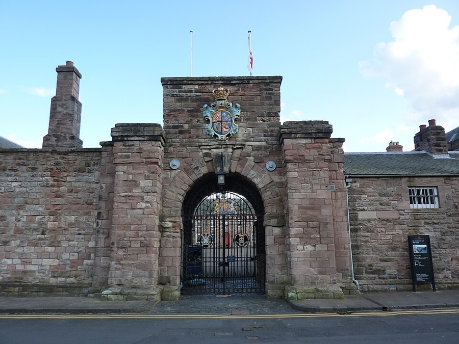
Former army barracks, also called Ravensdowne Barracks, with the King's Own Scottish Borderers regimental museum.
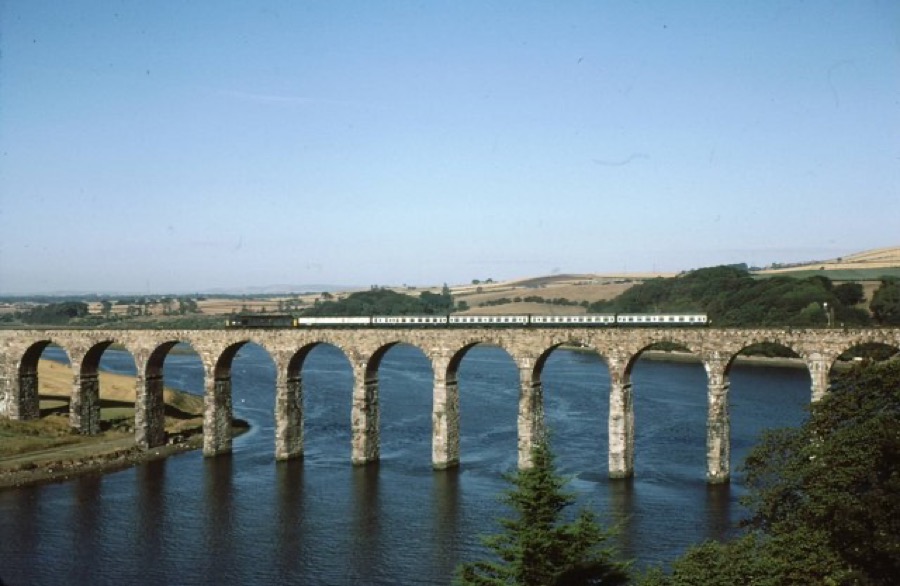
Robert Stephenson's railway viaduct of 1847-50, opened by Queen Victoria and still carrying East Coast Main Line trains.
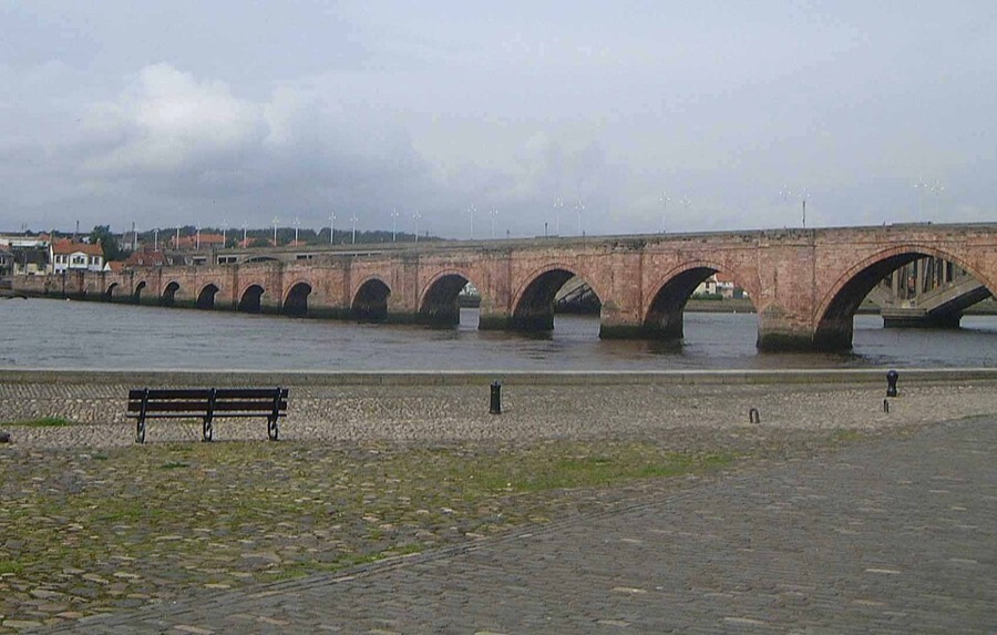
Grade I listed stone bridge over the Tweed built between 1611 and 1624, also called the Old Bridge.
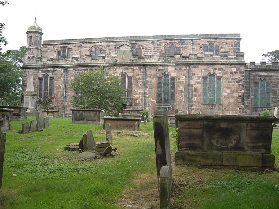
Parish church in the town centre, a rare example of a church built in the Commonwealth period of the 1650s.
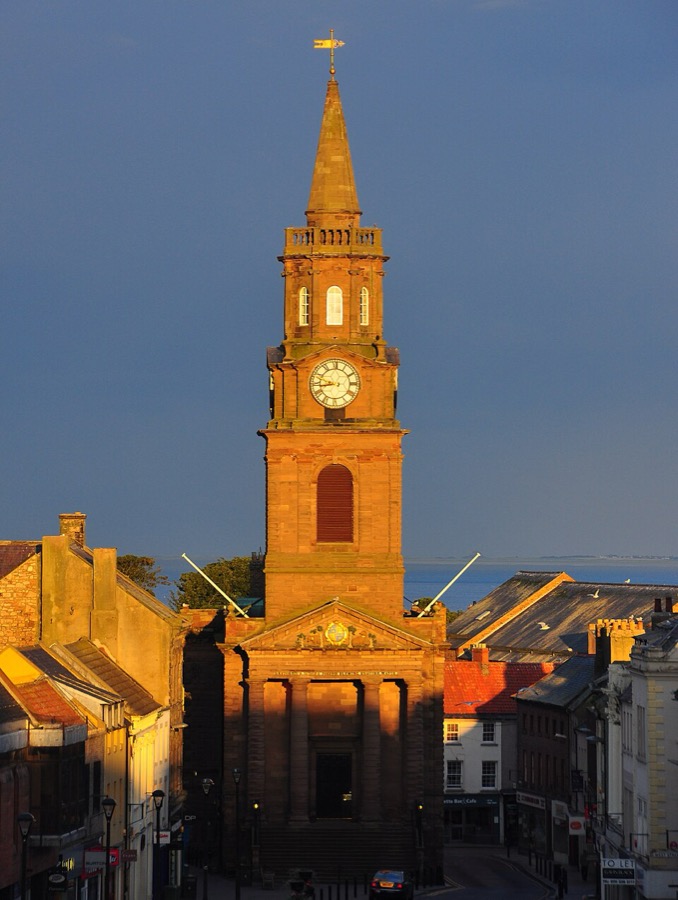
Grade I listed town hall on Marygate with a tall steeple, once the headquarters of the borough council.
Orientierung
The map shows Berwick-upon-Tweed and the streets around it. The Getting there page lists nearby stops and stations.
Insidertipps
The ramparts circle the old town, so a walk along them is the easiest way to see the bridges, the river mouth and the barracks.
Visit Northumberland says Berwick Tourist Information Centre has full details of the tides and the bus service to Holy Island.
English Heritage gives 20% off a walk-up ticket at Lindisfarne Priory if you show a Travelsure, Arriva or Glen Valley bus ticket.
Tipps der Britlens-Redaktion
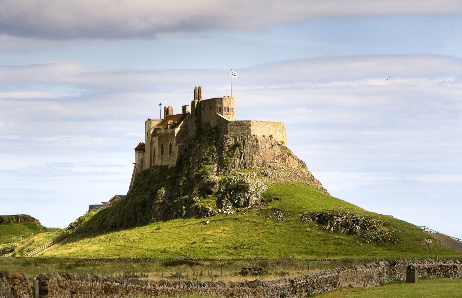
Lindisfarne (Holy Island)
Photos from Wikimedia Commons, used under the licences shown. All photo credits
Keep exploring Lindisfarne (Holy Island)