 English (UK)
 English (US)
 Français
 Deutsch
 Español
 Italiano
 Nederlands
 简体中文
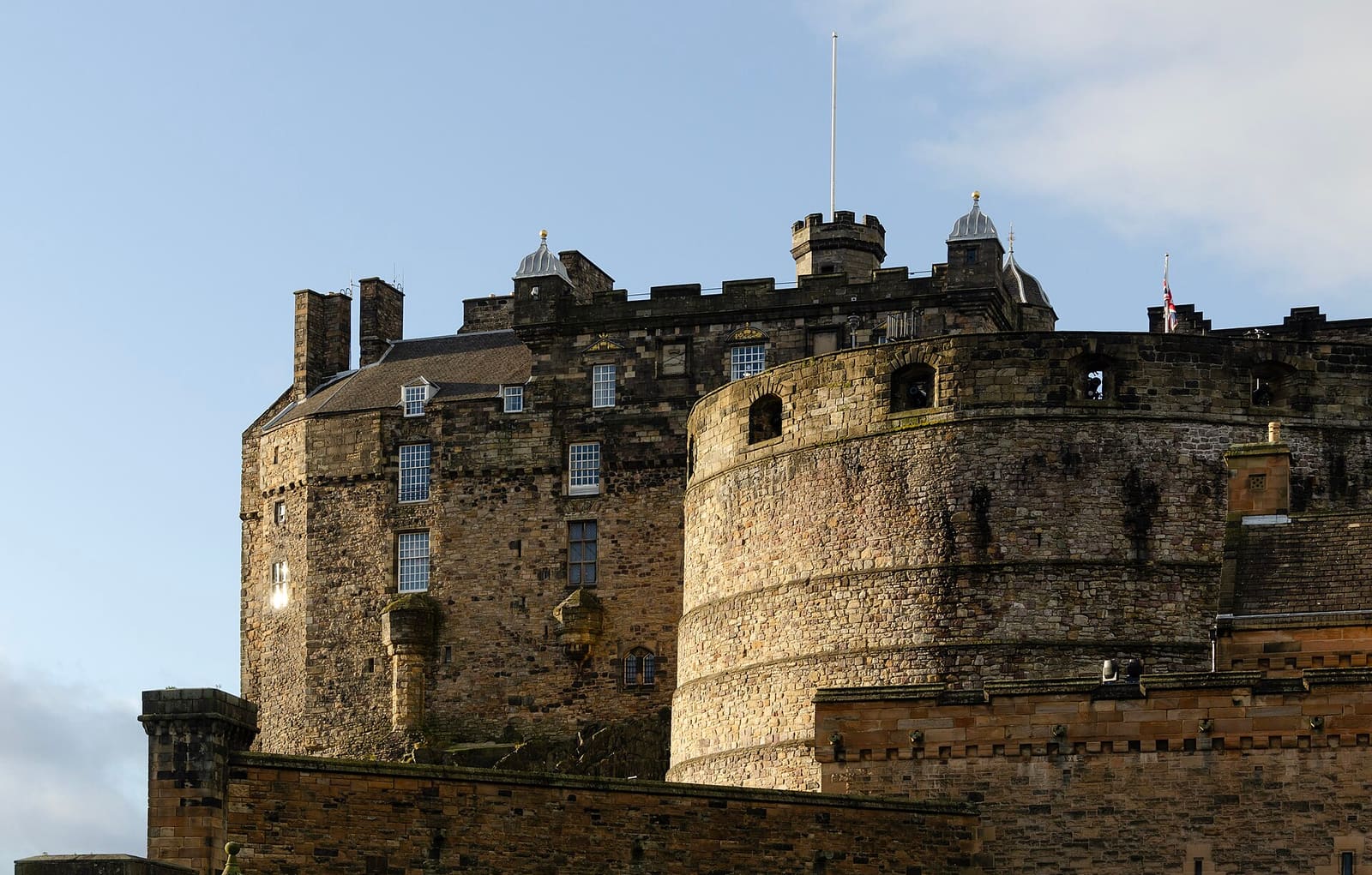
Themenreise
Küste und Häfen
Häfen und Uferpromenaden, beginnend in Leith und Whitby.
4 Stopps auf der Karte
Eine kurze Startliste. Sie wächst, sobald Küstenregionen zur Website hinzukommen.
Die interaktive Karte benötigt JavaScript. Die Stationen sind unten aufgelistet.
Gespeichert. Planen Sie Ihre Tage in Meiner Reise
Orte: Edinburgh, Anderswo in Großbritannien. Kartendaten © OpenStreetMap-Mitwirkende (öffnet in neuem Tab).
Die Stationen
Mit dem Herz auf einer Karte speichern Sie eine einzelne Station unter Meine Reise.
-
The Shore
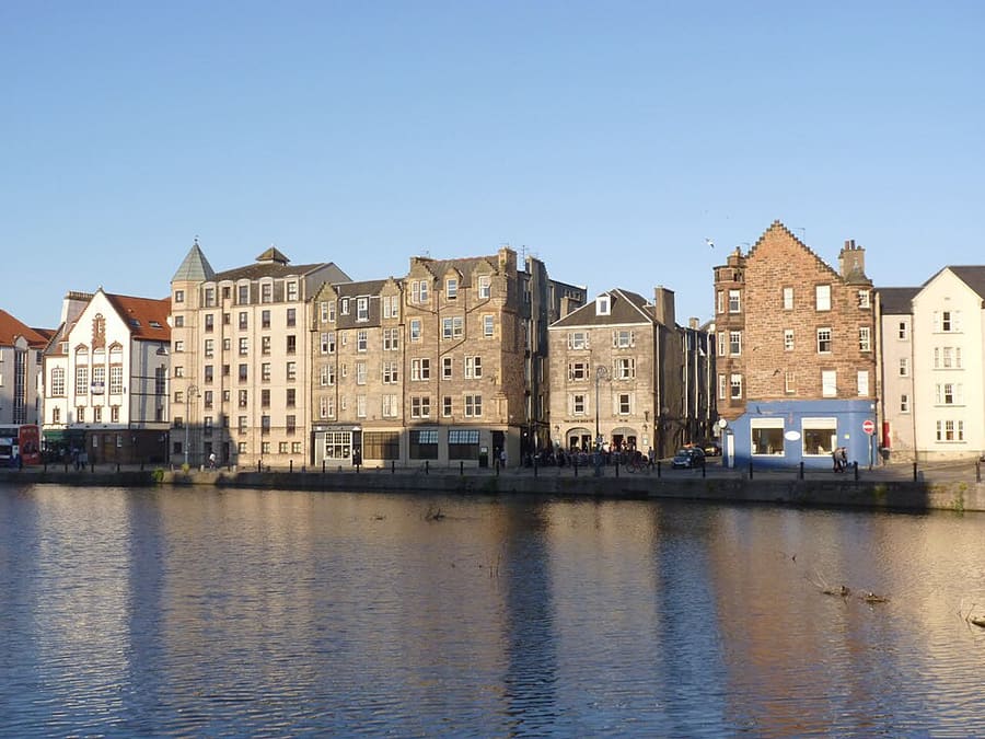
Photo: Alan Murray-Rust, CC BY-SA 2.0 Uferpromenade in Leith.
-
Newhaven Harbour
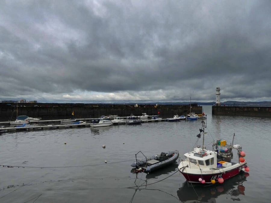
Photo: Steve Fareham, CC BY-SA 2.0 Ein Hafen am Firth of Forth.
-
Royal Yacht Britannia
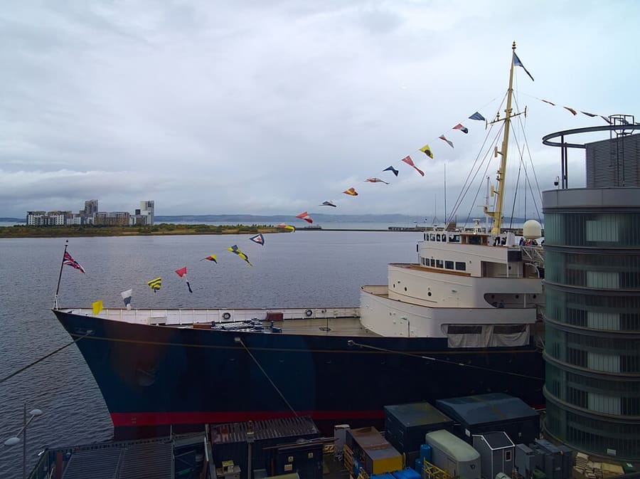
Photo: Daniel Kraft, CC BY-SA 3.0 Am Hafen von Leith.
-
Whitby Abbey
Abteiruine auf einer Klippe über Whitby.


Stationen mit einem Link zur offiziellen Website liegen außerhalb unserer Stadtführer. Jede wurde anhand der Seite des Betreibers geprüft; der Standort stammt von OpenStreetMap. Prüfen Sie vor Ihrem Besuch Öffnungszeiten und Tickets.
Planning this trip
The 4 stops fall in 2 parts of Britain, and the two furthest apart, Newhaven Harbour and Whitby Abbey, are about 234 km apart in a straight line. Treat it as a menu rather than one journey: pick the stops in one or two destinations and give each a day or more.
- Edinburgh (3 stops): The Shore, Newhaven Harbour and Royal Yacht Britannia. Edinburgh guide.
- Outside our city guides (1 stop): Whitby Abbey.
To travel between destinations, see getting between regions and our rail tickets guide. For weather and daylight by month, see when to go to Edinburgh. Opening times change with the seasons, so check each stop's own website before you set out.
Access and family notes come from the same data as our area guides: 0 of the 4 stops are reported as fully or partly step-free, and 0 are marked family-friendly. Reports come from venues or OpenStreetMap contributors, so confirm with the place before you travel.