 English (UK)
 English (US)
 Français
 Deutsch
 Español
 Italiano
 Nederlands
 简体中文
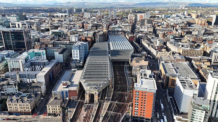
Ein Mini-Guide zu
Merchant City & City Centre: Anreise
Haltestellen, Stationen und Anreise: Merchant City & City Centre
Haltestellen und Stationen
Anreise nach Merchant City & City Centre
Wählen Sie die Haltestelle, die Ihrem Ziel am nächsten liegt.
| Haltestelle oder Station | Services | Gut für |
|---|---|---|
| Glasgow Central | Bahn | Hauptbahnhof für Verbindungen nach Süden und Westen, laut Visit Glasgow |
| Glasgow Queen Street | Bahn | Bahnhof für den Norden und Osten, einschließlich Edinburgh, laut Visit Glasgow |
| Buchanan Street | Glasgow Subway | Laut SPT liegen Queen Street station, Buchanan Bus Station und Buchanan Galleries in der Nähe |
| St Enoch | Glasgow Subway | Laut SPT liegen Central Station, St Enoch Centre und Argyle Street in der Nähe |
| Cowcaddens | Glasgow Subway | Laut SPT liegen die Glasgow School of Art, das GFT und das Tenement House in der Nähe |
Within walking range
Stations near Merchant City & City Centre
Stations and stops mapped in OpenStreetMap within 2.5 km of the centre of Merchant City & City Centre, nearest first. Distances are straight lines; walking times assume 5 km/h and are a minimum.
| Station or stop | Art | Entfernung | Zu Fuß |
|---|---|---|---|
| Buchanan Street (Subway) | U-Bahn | 200 m | about 3 min |
| Argyle Street | Station | 300 m | about 4 min |
| St Enoch (Subway) | U-Bahn | 500 m | about 6 min |
| High Street | Station | 800 m | about 9 min |
Station data: © OpenStreetMap contributors (ODbL), read 25 October 2026. Check step-free access with the operator before you travel.
Walking from nearby areas
- Charing Cross & Garnethill: 1.3 km from Merchant City & City Centre, about 15 min on foot
- Cathedral Precinct, Necropolis & Dennistoun: 1.5 km from Merchant City & City Centre, about 17 min on foot
- Glasgow Green & the East End: 2.1 km from Merchant City & City Centre, about 25 min on foot
- West End & Kelvingrove: 2.7 km from Merchant City & City Centre, about 33 min on foot
Anreise nach Glasgow
Offizielle Reiseinformationen
Glasgow hat zwei große Bahnhöfe, einen Busbahnhof im Zentrum und einen Flughafen westlich der Stadt. ScotRail, Glasgow Airport, Citylink und der Glasgow City Council blockieren automatisierte Anfragen. Diese Seite zitiert daher nur Anbieter und Quellen, die sich lesen ließen; Zeiten, Preise und Störungen finden Sie auf deren eigenen Websites.
- Visit Glasgow → — die offizielle Besucherwebsite der Stadt
- Visit Glasgow: getting here → — Bahn, Flugzeug, Straße und Schiff
- Visit Glasgow: getting around → — Subway, Busse, Fahrräder und Taxis
- Visit Glasgow: accessibility → — einen barrierefreien Besuch planen
- SPT: Glasgow Subway → — Pläne, Stationen und Tickets
- SPT: Subway timetables → — Betriebszeiten und Takt
- First Bus: Greater Glasgow → — Stadtbusse und Flughafen-Express
- Avanti West Coast → — Züge von London und aus dem Nordwesten
- Caledonian Sleeper → — Nachtzüge ab London
- ScotRail → — die meisten schottischen Verbindungen (die Website blockiert automatische Prüfungen)
- Glasgow Airport → — Flüge und Weiterreise (die Website blockiert automatische Prüfungen)
- National Rail Enquiries → – Zugzeiten und Preise
- Glasgow Life → — Museen, Bibliotheken und Veranstaltungsorte
Zeiten, Preise und Störungen ändern sich: Aktuelle Informationen finden Sie auf den Seiten der Betreiber oben.
Fahrt hierher planen
Geben Sie Ihren Startpunkt ein, und Google Maps zeigt Ihnen Routen nach Merchant City & City Centre. Öffentliche Verkehrsmittel sind voreingestellt; Sie können das auf der Karte ändern. Aktuelle Störungen finden Sie auf den Websites der Betreiber.
While you are here
Things to see in Merchant City & City Centre
A few of the sights in the area. The Things to do page lists them all, with directions and official links.
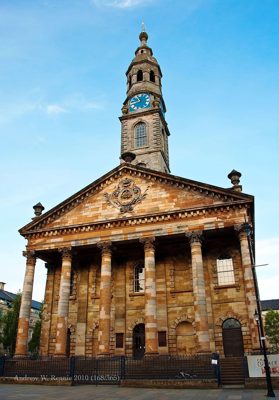
St Andrew's in the Square
Denkmalgeschützte (Category A) frühere Kirche aus dem 18. Jahrhundert, heute Glasgow's Centre for Scottish Culture.
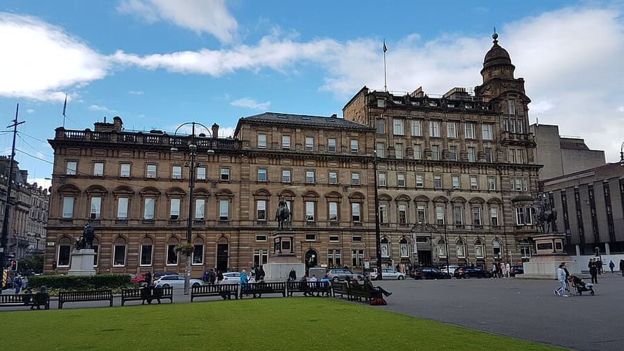
George Square
Der wichtigste Stadtplatz von Glasgow, einer von sechs Plätzen im Zentrum.
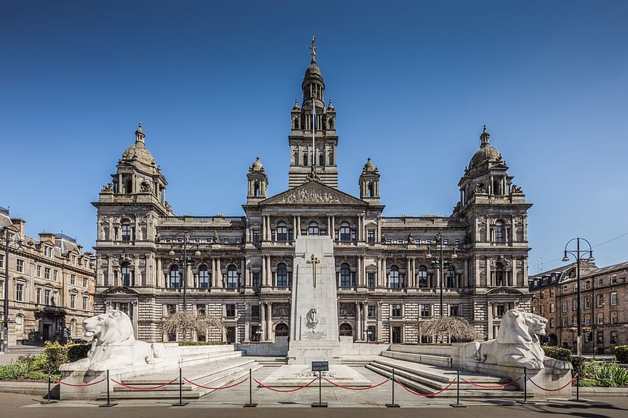
Glasgow City Chambers
Seit 1996 Sitz des Glasgow City Council, ein denkmalgeschütztes Gebäude der Kategorie A an der Ostseite des George Square.
Glasgow
More areas to explore
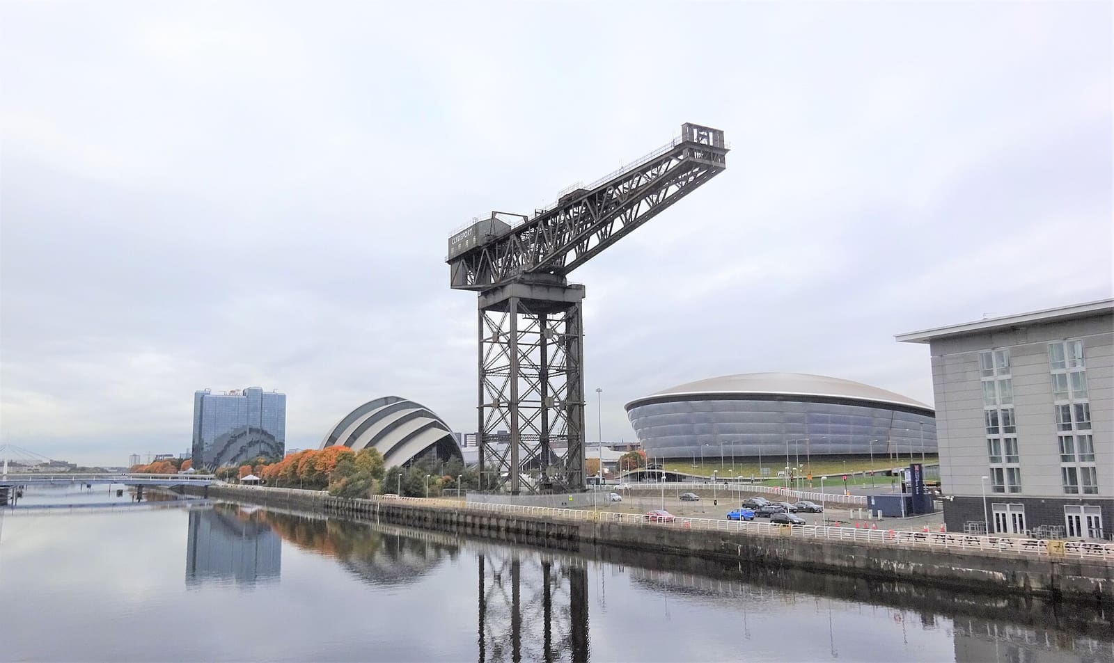
Finnieston, Clydeside & the Riverside
Kräne, Brücken und Museen am Clyde, dahinter die Bars und Restaurants von Finnieston
Mini-Guide öffnen →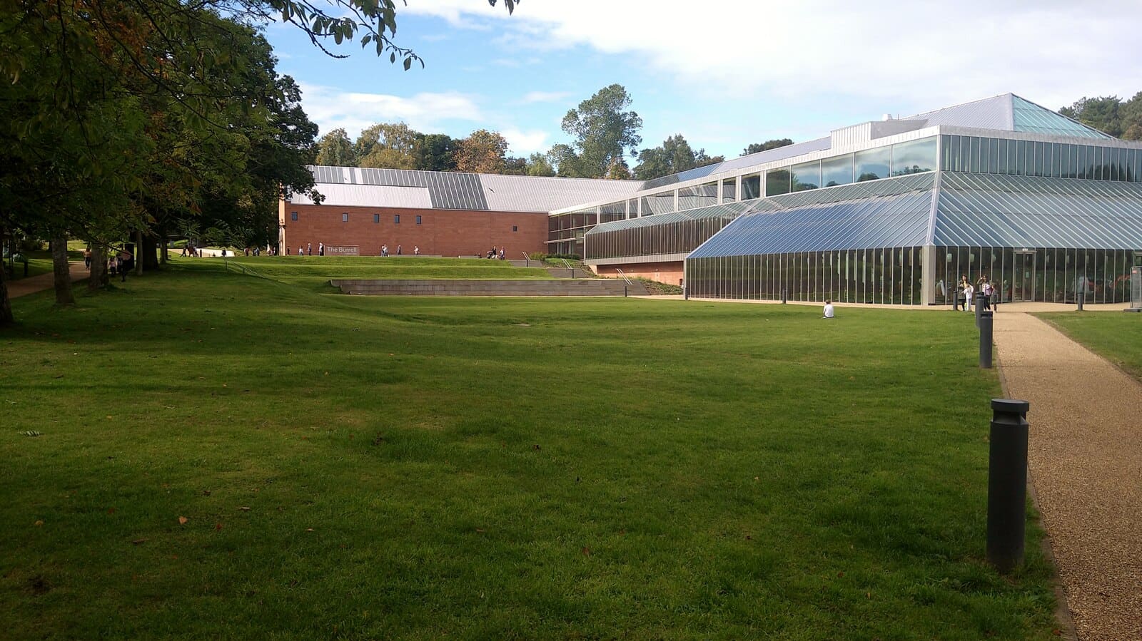
The Southside
Die Burrell Collection, große Parks, Bauten von Mackintosh und Thomson und das Nationalstadion Schottlands
Mini-Guide öffnen →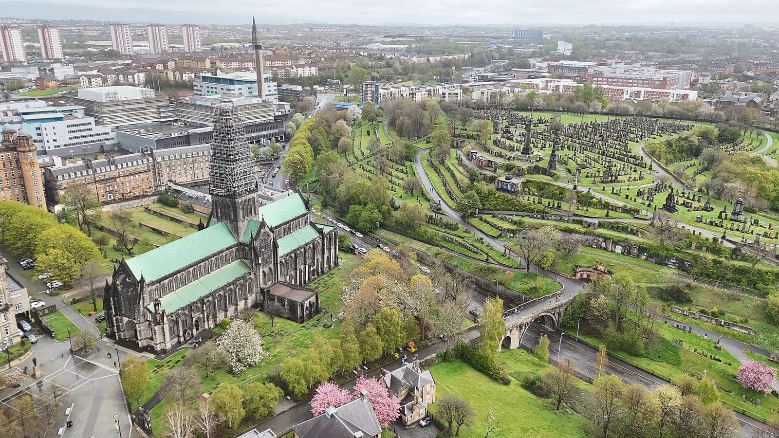
Cathedral Precinct, Necropolis & Dennistoun
Die mittelalterliche Kathedrale, das älteste Haus der Stadt, ein viktorianischer Friedhof auf dem Hügel und Dennistoun
Mini-Guide öffnen →Fotonachweise
- Glasgow Central station: 瑞丽江的河水, CC BY-SA 4.0, source
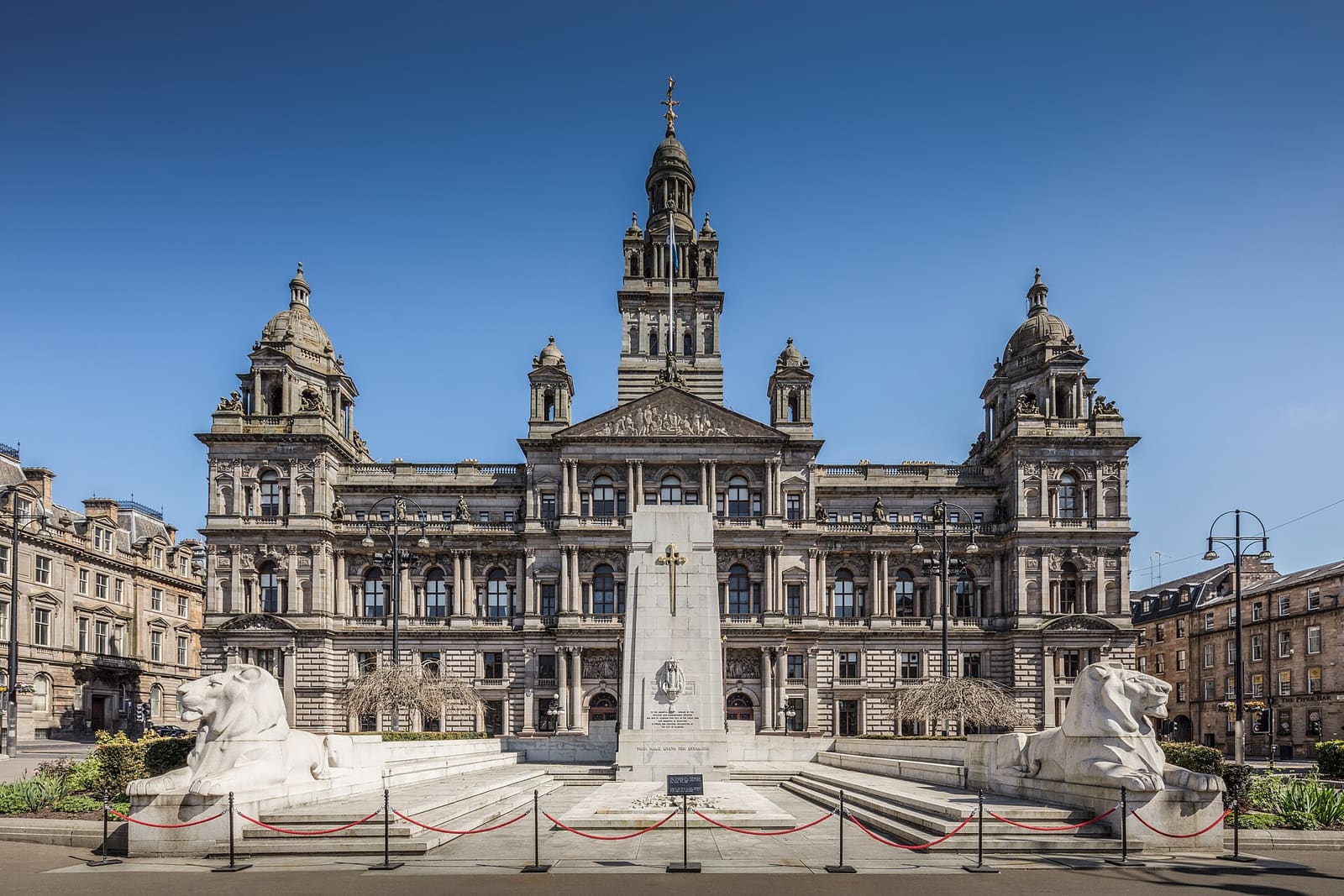
- Merchant City & City Centre (area photo): Michael D Beckwith, CC0, source
- St Andrew's in the Square: Andy Rennie, CC BY-SA 2.0, source
- George Square: Stinglehammer, CC BY-SA 4.0, source
- Glasgow City Chambers: Michael D Beckwith, CC0, source
- Finnieston, Clydeside & the Riverside: Rosser1954, CC BY-SA 4.0, source
- The Southside: Gordon Brown, CC BY-SA 2.0, source
- Cathedral Precinct, Necropolis & Dennistoun: 瑞丽江的河水, CC BY-SA 4.0, source
- Glasgow Green & the East End: dun_deagh, CC BY-SA 2.0, source
- Partick & Hyndland: James Petts, CC BY-SA 4.0, source
- Shawlands & Langside: Richard Sutcliffe, CC BY-SA 2.0, source
- Charing Cross & Garnethill: Sonictiller, CC BY-SA 4.0, source
- West End & Kelvingrove: Suicasmo, CC BY-SA 4.0, source
Photos from Wikimedia Commons, used under the licences shown. All photo credits
Glasgow weiter entdecken