 English (UK)
 English (US)
 Français
 Deutsch
 Español
 Italiano
 Nederlands
 简体中文
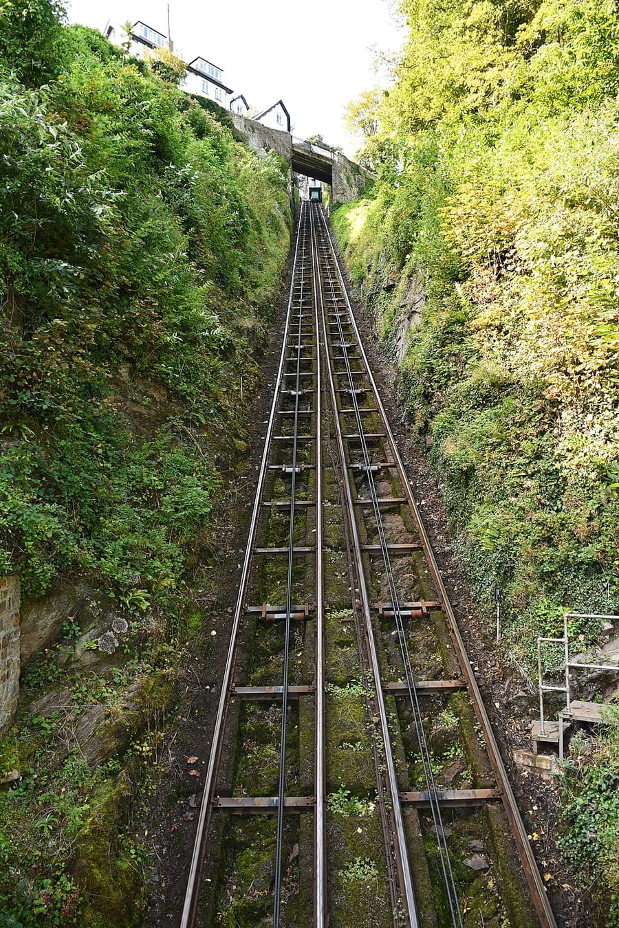
Funicular
Lynton & Lynmouth Cliff Railway
Water-powered funicular railway joining Lynmouth and Lynton, opened in 1890 and Grade II listed.
Route Website Report a problem with Lynton & Lynmouth Cliff Railway
Ein Mini-Guide zu
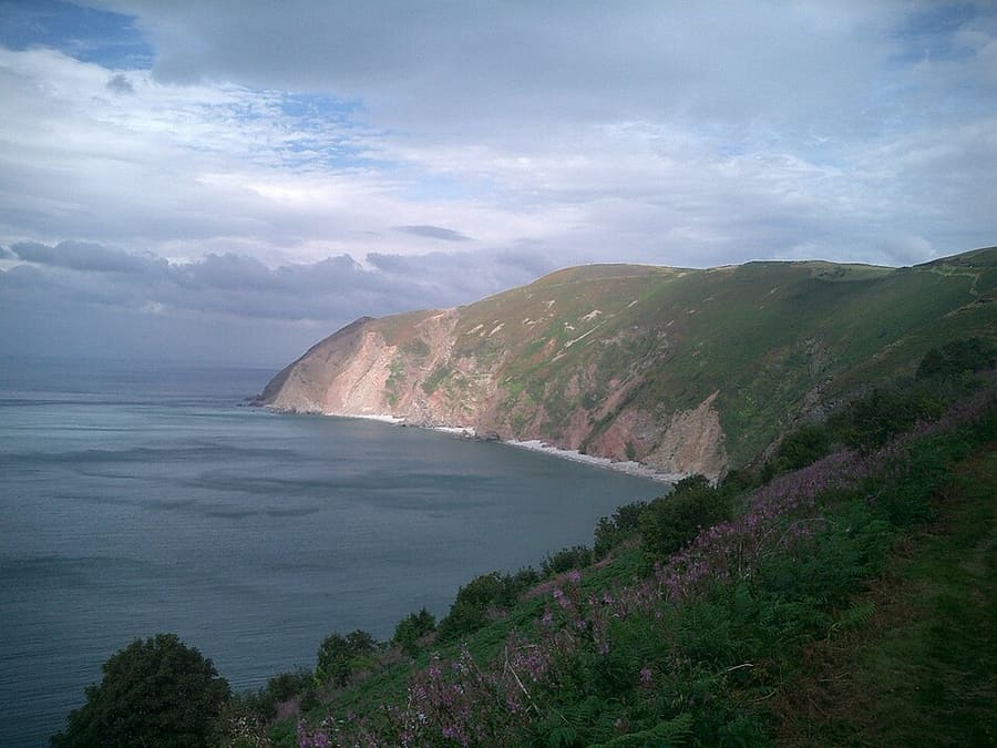
A cliff railway, wooded gorges and high moorland where Exmoor meets the sea
 1 / 8
Willkommen in der Gegend
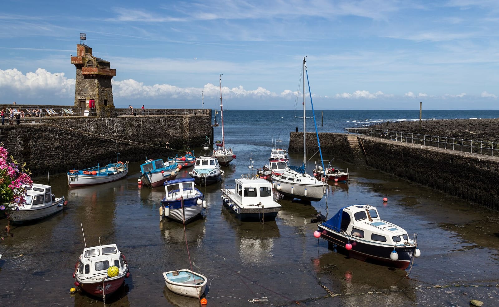
Exmoor National Park covers about 693 square kilometres of north Devon and west Somerset, 71 per cent of it in Somerset, and takes in 55 km of the Bristol Channel coast. On the Devon side, Lynton sits on the cliff top and Lynmouth in the gorge below, where the East and West Lyn rivers meet; a water-powered cliff railway, opened in 1890, links them.
West of Lynton, the Valley of Rocks is known for its feral goats, and east of Lynmouth the National Trust's Watersmeet stands where the East Lyn meets Hoar Oak Water. Inland, Dunkery Beacon is the highest point on Exmoor at 519 metres, and Tarr Steps is a 17-span clapper bridge over the River Barle. Porlock Weir, Selworthy and Dunster Castle lie to the east in Somerset.
Highlights
Wenn Sie nur wenige Stunden haben, beginnen Sie am besten hier.
Water-powered funicular railway joining Lynmouth and Lynton, opened in 1890 and Grade II listed.
Route Website Report a problem with Lynton & Lynmouth Cliff Railway
Dry valley about 1 km west of Lynton, running parallel to the coast and known for its feral goats.
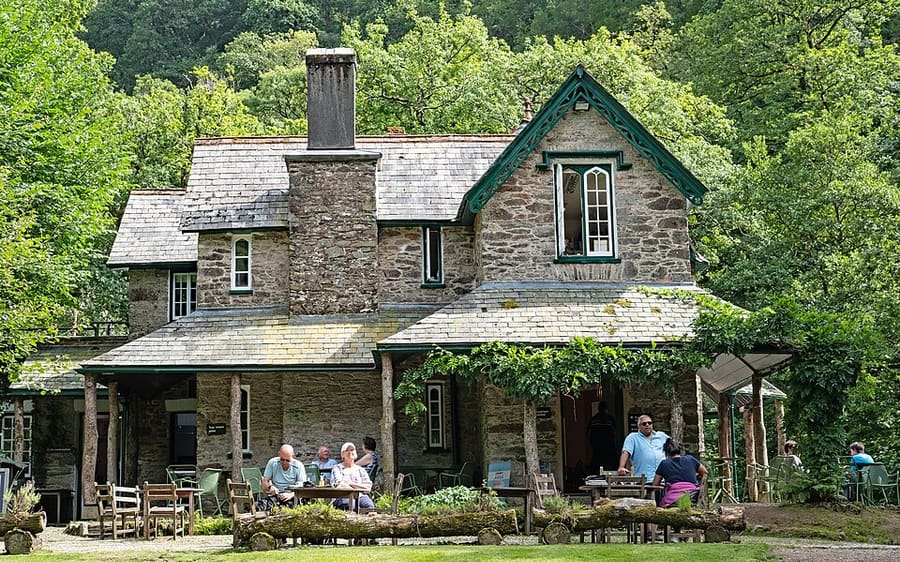
Former fishing lodge of about 1832 in the East Lyn gorge, now a National Trust tea room and shop.
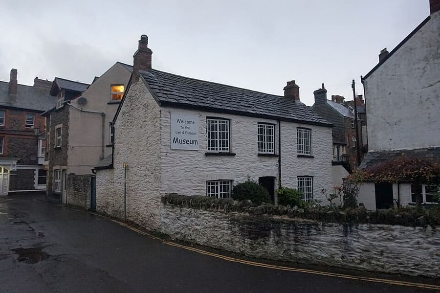
Small museum in Lynton's oldest surviving cottage, covering local life and the 1952 Lynmouth flood.
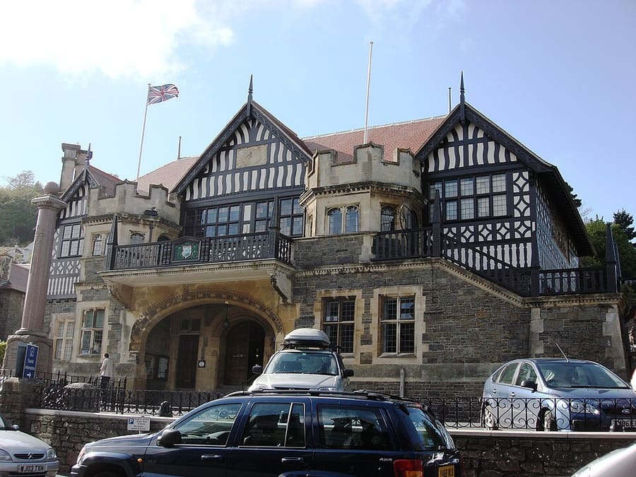
Grade II* listed town hall on Lee Road with a community bookshop on the ground floor.
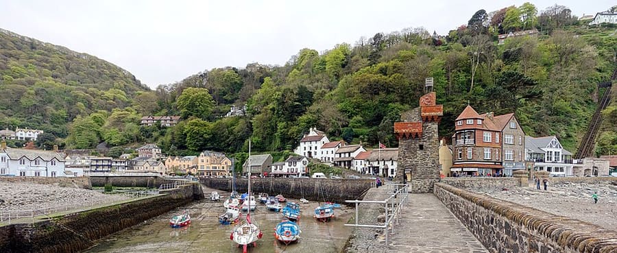
Village in a gorge where the East and West Lyn rivers meet, directly below Lynton.
Orientierung
The map shows Exmoor & Lynmouth and the streets around it. The Getting there page lists nearby stops and stations.
Insidertipps
The water-powered funicular between Lynmouth and Lynton opened in 1890; the Cliff Top Café is at the upper station.
The dry valley about 1 km west of Lynton is known for its herd of feral goats.
Watersmeet House is the start of some 40 miles of woodland, riverside and moorland paths.
Near Combe Martin, Great Hangman is the highest sea cliff in England and the high point of the South West Coast Path.
Tipps der Britlens-Redaktion
Devon
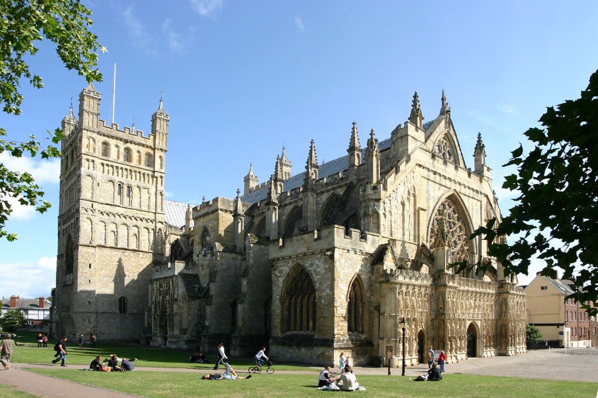
Cathedral city on the Exe with Roman walls, medieval passages and a historic quayside
Mini-Guide öffnen →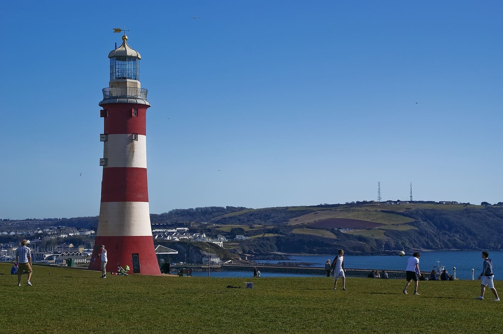
Waterfront city of the Hoe, the Barbican and the Mayflower Steps
Mini-Guide öffnen →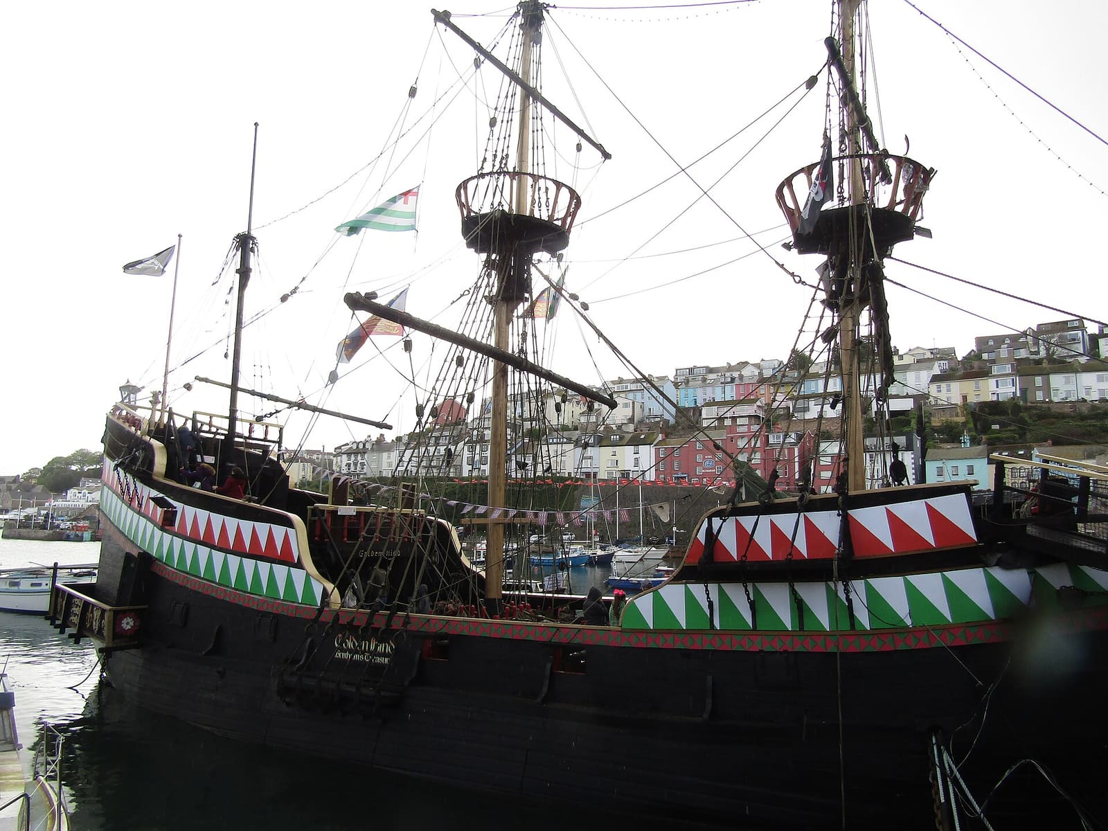
Torbay's three resorts: Torquay's cave and abbey, Paignton's pier and zoo, Brixham's fishing harbour
Mini-Guide öffnen →Photos from Wikimedia Commons, used under the licences shown. All photo credits
Keep exploring Devon