 English (UK)
 English (US)
 Français
 Deutsch
 Español
 Italiano
 Nederlands
 简体中文
Ein Mini-Guide zu
Coventry city centre: getting there
Stops, stations and how to reach Coventry city centre
Haltestellen und Stationen
Getting to Coventry city centre
Wählen Sie die Haltestelle, die Ihrem Ziel am nächsten liegt.
| Haltestelle oder Station | Services | Gut für |
|---|---|---|
| Coventry station | Avanti West Coast and other operators | London Euston in under an hour; Birmingham International in under 10 minutes |
| Pool Meadow bus station | Local and regional buses | The main departure point for buses in the city |
Within walking range
Stations near Coventry city centre
Stations and stops mapped in OpenStreetMap within 2.5 km of the centre of Coventry city centre, nearest first. Distances are straight lines; walking times assume 5 km/h and are a minimum.
| Station or stop | Art | Entfernung | Zu Fuß |
|---|---|---|---|
| Coventry Pool Meadow Bus Station | Bus or coach station | 300 m | about 4 min |
| Coventry station bus interchange | Bus or coach station | 800 m | about 10 min |
| Coventry | Rail station (Avanti West Coast) | 800 m | about 10 min |
Station data: © OpenStreetMap contributors (ODbL), read 3 November 2026. Check step-free access with the operator before you travel.
Reaching Coventry
Offizielle Reiseinformationen
Coventry station is on the West Coast Main Line between London Euston and Birmingham. Visit Coventry gives London as just under an hour by train and Birmingham Airport as about 20 minutes. Check operators for times and fares.
- Visit Coventry → — official visitor information for Coventry and Warwickshire
- Coventry Cathedral → — new cathedral and ruins
- Britlens: Stratford-upon-Avon and Warwickshire → — Warwick, Kenilworth and Leamington nearby
Zeiten, Preise und Störungen ändern sich: Aktuelle Informationen finden Sie auf den Seiten der Betreiber oben.
Fahrt hierher planen
Enter your starting point and Google Maps will show routes to Coventry city centre. Public transport is selected; change it on the map. Check operator sites for live disruption.
While you are here
Things to see in Coventry city centre
A few of the sights in the area. The Things to do page lists them all, with directions and official links.
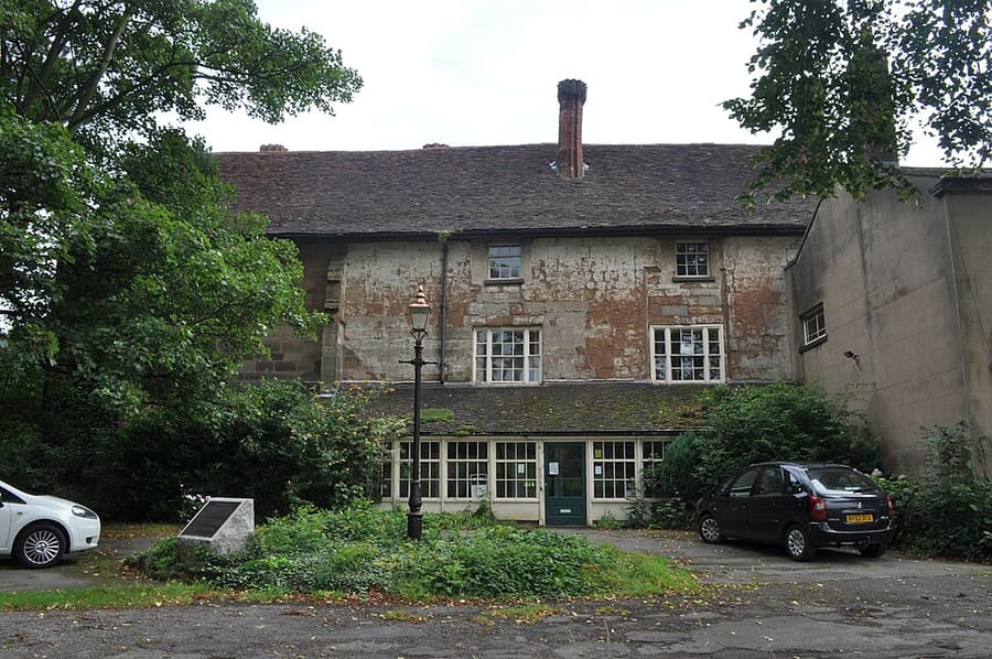
The Charterhouse
Grade I listed building incorporating remains of a Carthusian priory founded in 1381, south-east of the centre.
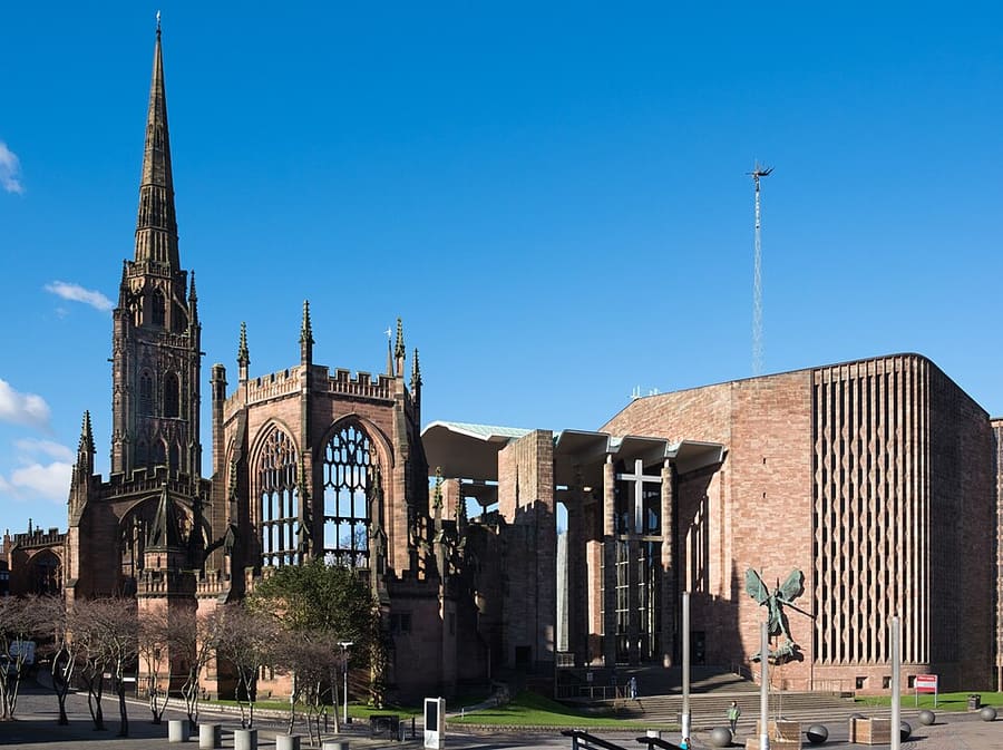
Coventry Cathedral
St Michael's Cathedral, consecrated in 1962 right beside the ruins of the old cathedral; Jacob Epstein's St Michael sculpture is on its east wall.
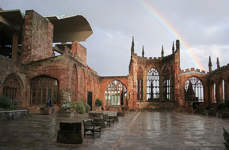
Old Cathedral ruins
Shell of the 14th-century church of St Michael, a cathedral from 1918, bombed in the Second World War; its 87-metre tower and spire survive.
Fotonachweise
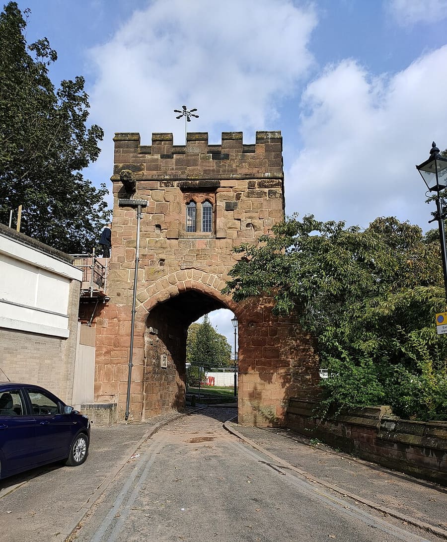
- Cook Street Gate: PAUL FARMER, CC BY-SA 2.0, source
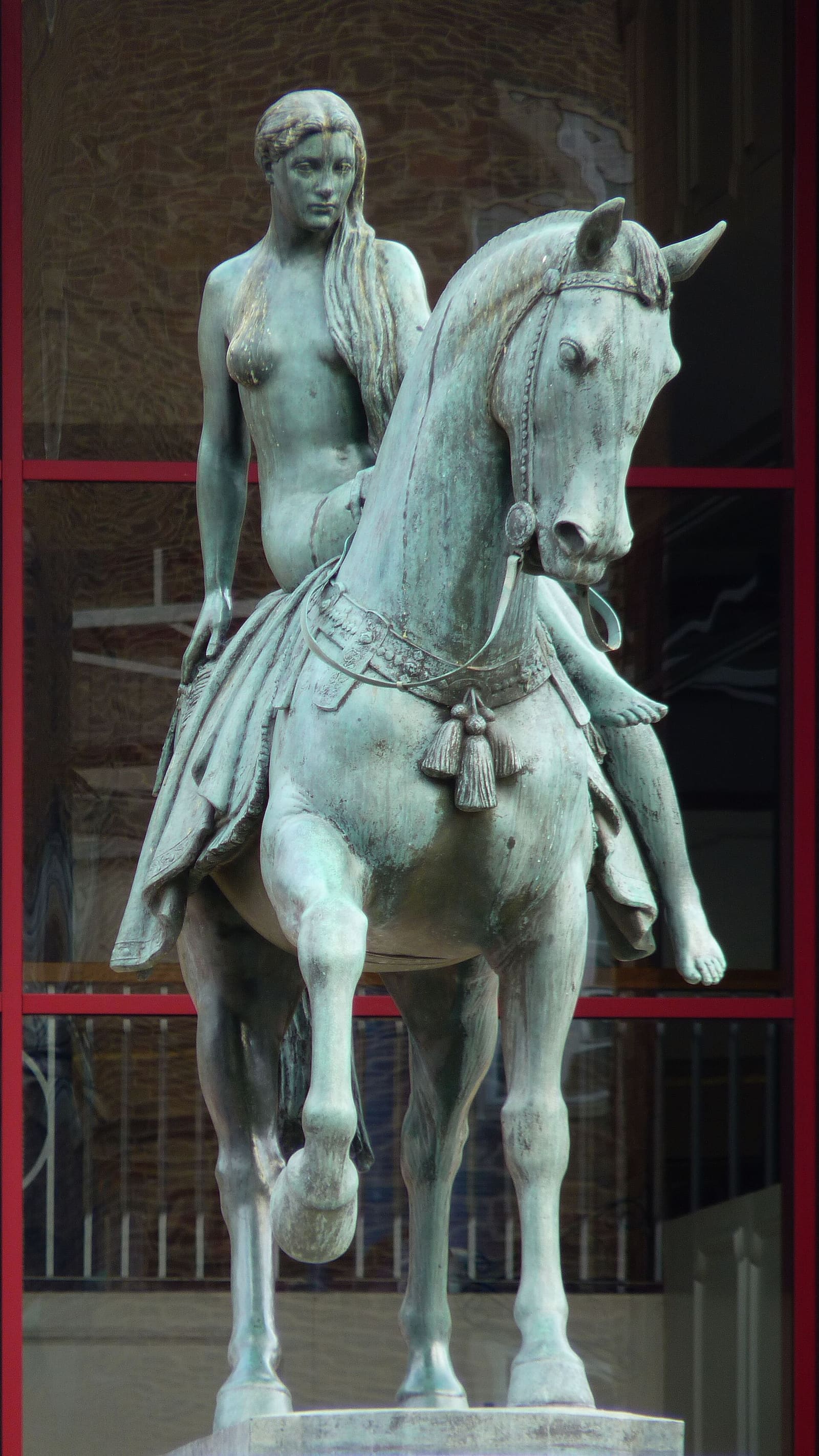
- Coventry city centre (area photo): Cmglee, CC BY-SA 3.0, source
- The Charterhouse: Carmen McLean-Ellmann, Oliver Ellmann (Wikipedia Takes Coventry participant), CC BY 3.0, source
- Coventry Cathedral: DeFacto, CC BY-SA 4.0, source
- Old Cathedral ruins: Andrew Walker (walker44), CC BY-SA 3.0, source
Photos from Wikimedia Commons, used under the licences shown. All photo credits
Keep exploring Coventry