 English (UK)
 English (US)
 Français
 Deutsch
 Español
 Italiano
 Nederlands
 简体中文
The Scottish Highlands · Linear (one way)
West Highland Way: Kinlochleven to Fort William
The final stage of the West Highland Way: a rough Lairigmor track and a forest path into Glen Nevis.
- Distance 24.0 km · 14.9 miles As stated on the official page
- Typical time Not stated The official page gives no time, so we show none.
- Ascent Not stated No official ascent figure
- Grade Hard Our rule, see below
- Route typeLinear (one way) Kinlochleven to Gordon Square, Fort William
Take this walk offline
Near the start, along the way and at the finish
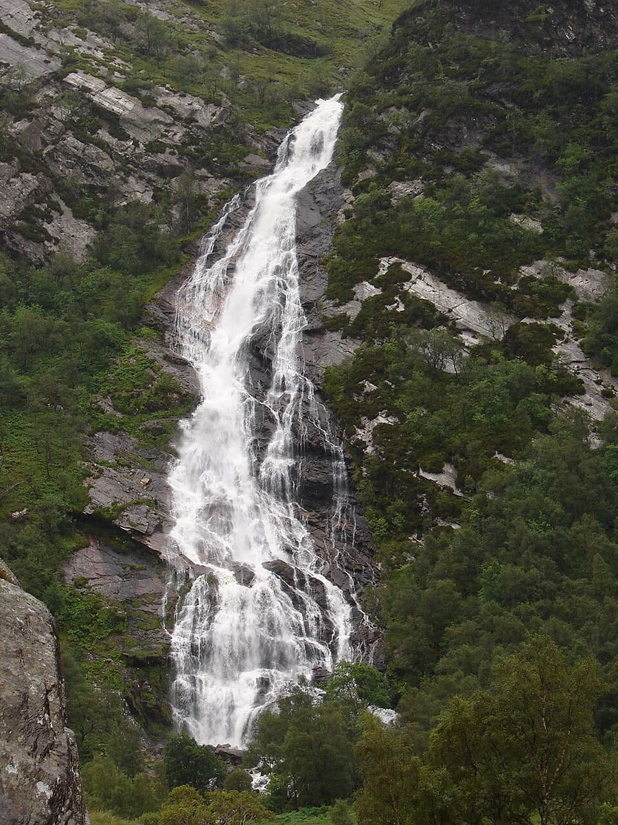

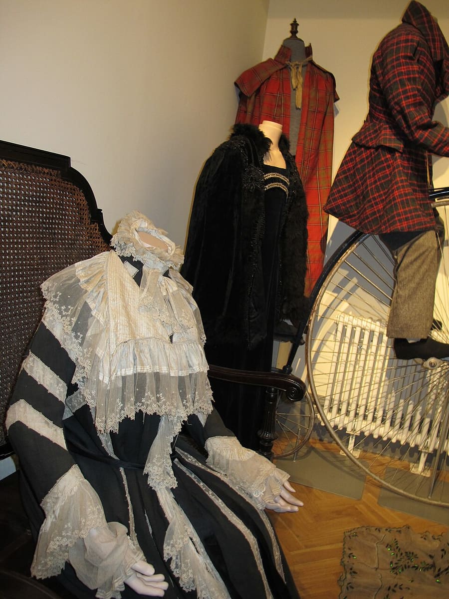

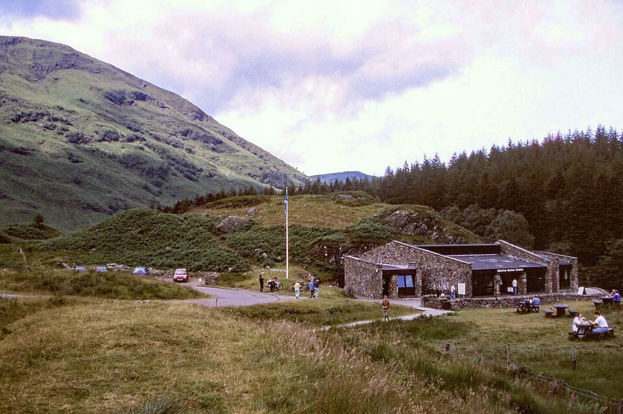

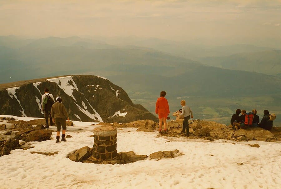

Photos of named places from our guides closest to each point of the walk, with the straight-line distance. They show the area, not the path itself: follow the waymarks and the official page.
The route
The last stage climbs out of Kinlochleven, follows the Lairigmor and ends in Fort William at Gordon Square. The Way's site calls the Lairigmor rough underfoot and describes a final tarmac stretch, with a waymarked High Route above Glen Nevis as an option. The mapped line is the main section from OpenStreetMap.
The interactive map needs JavaScript. The start and finish are listed below.
Along the way
- Start: Kinlochleven
- Finish: Gordon Square, Fort William
The line is drawn from OpenStreetMap data and simplified to 428 points. It can differ from what is on the ground: waymarks and the official page take priority.
Route and map data © OpenStreetMap contributors (ODbL), saved 2026-10-25. Spotted a mistake? Fix the map.
The GPX file holds the route as a track and the start, finish and waypoints, for use in a walking or hiking app. It is a planning aid, not a navigation guarantee.
Before you go
Safety and access notes come from official pages. Conditions change, so read the linked page for the day you walk.
Getting there
- Nearest station or stop to the start in our dataFort William (rail, ScotRail), about 14.6 km in a straight line.
- Nearest to the finishFort William (rail, ScotRail), about 0.7 km in a straight line.
Straight-line distances from our station list, not walking distances. Check timetables and the route to the start before you travel. Getting between regions
Step-free and pushchair access
The official page does not say whether this route is step-free or suitable for pushchairs, so we do not either. Check the official page (opens in new tab) or ask the site.
Safety
- The page describes a steep climb out of Kinlochleven and a Lairigmor section that is rough underfoot. It says refreshments and toilets are available in Fort William only, and sends walkers to its Notices page for diversions and works. West Highland Way: Kinlochleven to Fort William (opens in new tab)
- The West Highland Way site says the route crosses demanding, remote landscapes far from roads and services, and that hillwalking is a risk sport. In an emergency call 999 and ask for the police, who may call mountain rescue. West Highland Way: Staying safe and enjoying the outdoors responsibly (opens in new tab)
- Mountain Weather Information Service forecasts are written mainly as warnings, and cover the West Highlands. Adventure Smart advises checking the forecast and being ready to change or cut short your plans. Mountain Weather Information Service (opens in new tab)
Seasonal access
- The West Highland Way site advises sticking to the middle of paths and checking for ticks, especially from March to October. West Highland Way: Staying safe and enjoying the outdoors responsibly (opens in new tab)
How these figures were worked out
- Distance: taken from the official page (source (opens in new tab)).
- Grade: our rule, because the official page gives no grade. Easy: up to 8 km and up to 150 m of ascent. Hard: over 16 km or over 600 m of ascent. Moderate: everything else. No ascent figure is available for this walk, so the rule used distance only and the real grade may be higher.
- Time: only shown when an official page states it.
Sources
- West Highland Way: Kinlochleven to Fort William (opens in new tab). 15 miles (24 km), terrain, Glen Nevis and High Route, finish at Gordon Square, facilities; no time or grade stated (grade by published rule; ascent not given as a figure). Checked on 2026-10-25.
- West Highland Way: Staying safe and enjoying the outdoors responsibly (opens in new tab). remote-terrain, 999 and tick advice. Checked on 2026-10-25.
- Mountain Weather Information Service (opens in new tab). forecasts written as warnings; West Highlands and Cairngorms areas listed. Checked on 2026-10-25.
- Adventure Smart (opens in new tab). ability, weather, kit advice. Checked on 2026-10-25.
- OpenStreetMap relation 19772656 (West Highland Way section) (opens in new tab). route geometry (c) OpenStreetMap contributors, ODbL; measured 24.64 km. Checked on 2026-10-25.
- OpenStreetMap contributors (opens in new tab) (ODbL). Route geometry. Saved 2026-10-25.
More walks in the Scottish Highlands
West Highland Way: Kingshouse to Kinlochleven
The Devil's Staircase stage, climbing from Glencoe moorland to the highest point of the West Highland Way.
All walks · The Scottish Highlands guide · Beaches · Parks and gardens