 English (UK)
 English (US)
 Français
 Deutsch
 Español
 Italiano
 Nederlands
 简体中文
Glasgow · Linear (one way)
Clyde Walkway: city centre to Glasgow Green
About 4 km of the Clyde Walkway along the city waterfront, from the west end to Glasgow Green.
- Distance 4.1 km · 2.5 miles Route length measured from OpenStreetMap geometry
- Typical time Not stated The official page gives no time, so we show none.
- Ascent Not stated No official ascent figure
- Grade Easy Our rule, see below
- Route typeLinear (one way) Clydeside, western end of this section to Glasgow Green riverside
Take this walk offline
Near the start, along the way and at the finish
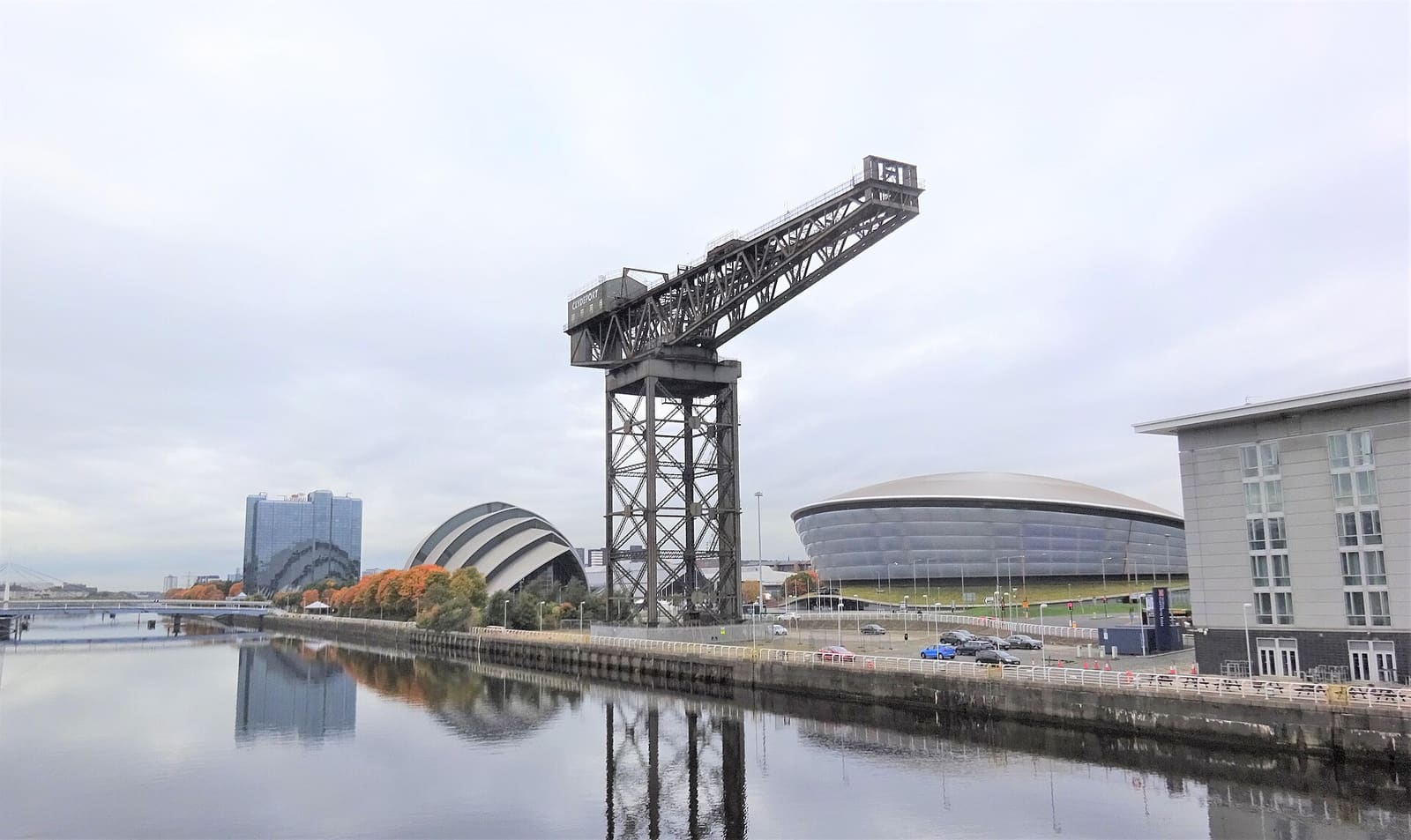

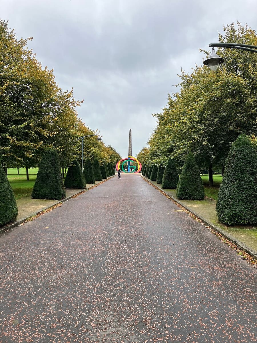

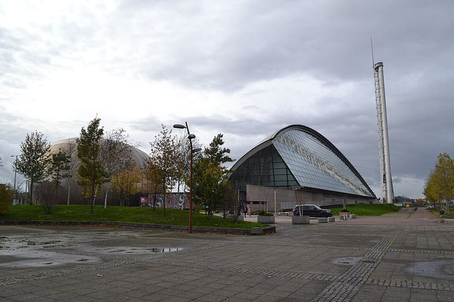

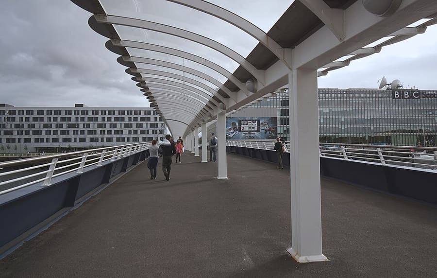

Photos of named places from our guides closest to each point of the walk, with the straight-line distance. They show the area, not the path itself: follow the waymarks and the official page.
The route
The Clyde Walkway is a 65 km trail from Glasgow city centre to New Lanark, and its first miles follow the river through the city. This walk takes about 4 km of it, from the Clydeside west of the centre to Glasgow Green. Distance here is measured from the map, as the official page only gives figures for the whole trail.
The interactive map needs JavaScript. The start and finish are listed below.
Along the way
- Start: Clydeside, western end of this section
- Finish: Glasgow Green riverside
The line is drawn from OpenStreetMap data and simplified to 191 points. It can differ from what is on the ground: waymarks and the official page take priority.
Route and map data © OpenStreetMap contributors (ODbL), saved 2026-10-25. Spotted a mistake? Fix the map.
The GPX file holds the route as a track and the start, finish and waypoints, for use in a walking or hiking app. It is a planning aid, not a navigation guarantee.
Before you go
Safety and access notes come from official pages. Conditions change, so read the linked page for the day you walk.
Getting there
- Nearest station or stop to the start in our dataExhibition Centre (station), about 0.8 km in a straight line.
- Nearest to the finishBridgeton (station), about 0.8 km in a straight line.
Straight-line distances from our station list, not walking distances. Check timetables and the route to the start before you travel. Getting between regions
Step-free and pushchair access
The official page does not say whether this route is step-free or suitable for pushchairs, so we do not either. Check the official page (opens in new tab) or ask the site.
Safety
- The trail page says the route is not always well waymarked, so map-reading skills are sometimes useful, and that not all sections suit all users, including people with mobility issues. Scotland's Great Trails: Clyde Walkway (opens in new tab)
How these figures were worked out
- Distance: route length measured from OpenStreetMap geometry. The official page gives no distance. It is a straight-segment sum along mapped paths, so it can differ from a waymarked figure.
- Grade: our rule, because the official page gives no grade. Easy: up to 8 km and up to 150 m of ascent. Hard: over 16 km or over 600 m of ascent. Moderate: everything else. No ascent figure is available for this walk, so the rule used distance only and the real grade may be higher.
- Time: only shown when an official page states it.
Sources
- Scotland's Great Trails: Clyde Walkway (opens in new tab). whole trail 65 km, 720 m ascent, 3 to 5 days, Glasgow city centre to New Lanark, waymarking and suitability warnings (whole-trail figures not used for this section). Checked on 2026-10-25.
- OpenStreetMap relation 177583 (Clyde Walkway), clipped (opens in new tab). route geometry (c) OpenStreetMap contributors, ODbL; measured 4.06 km. Checked on 2026-10-25.
- OpenStreetMap contributors (opens in new tab) (ODbL). Route geometry. Saved 2026-10-25.
More walks in Glasgow
Forth & Clyde Canal towpath at Maryhill
A 2.4 km stretch of canal towpath in north Glasgow, part of the Forth & Clyde/Union route.