 English (UK)
 English (US)
 Français
 Deutsch
 Español
 Italiano
 Nederlands
 简体中文
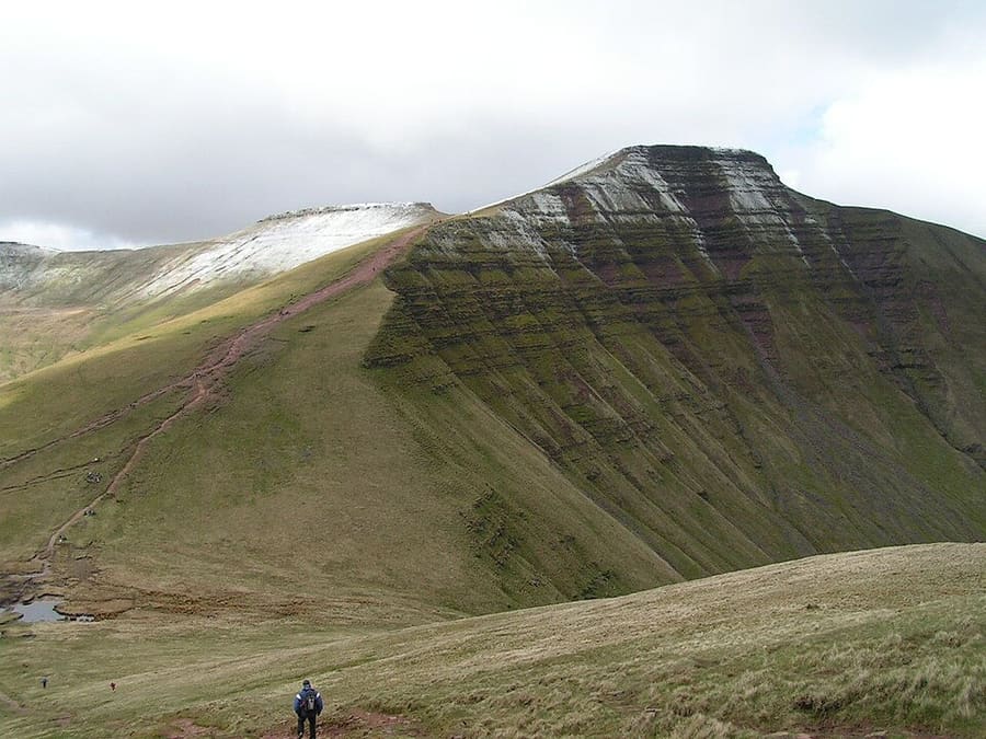
Mountain
Pen y Fan
Highest peak in South Wales at 886 metres (2,907 ft), with the twin summit of Corn Du 550 metres to the south-west.
A mini guide to
Places worth your time in Bannau Brycheiniog (Brecon Beacons)
Top places
Landmarks, museums, parks and viewpoints in and around the area.
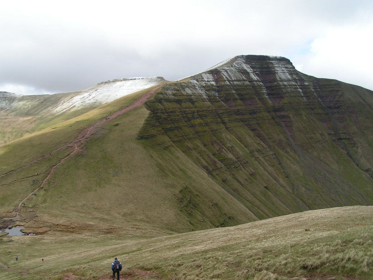
Highest peak in South Wales at 886 metres (2,907 ft), with the twin summit of Corn Du 550 metres to the south-west.
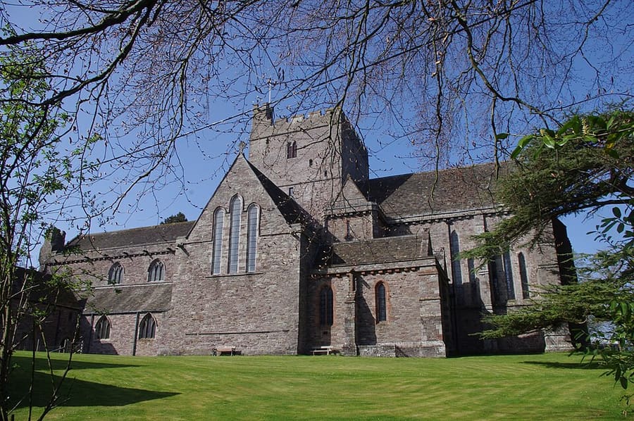
Cathedral of the Diocese of Swansea and Brecon in the Church in Wales, formerly the church of Brecon Priory.
Directions Website Report a problem with Brecon Cathedral (Eglwys Gadeiriol Aberhonddu)
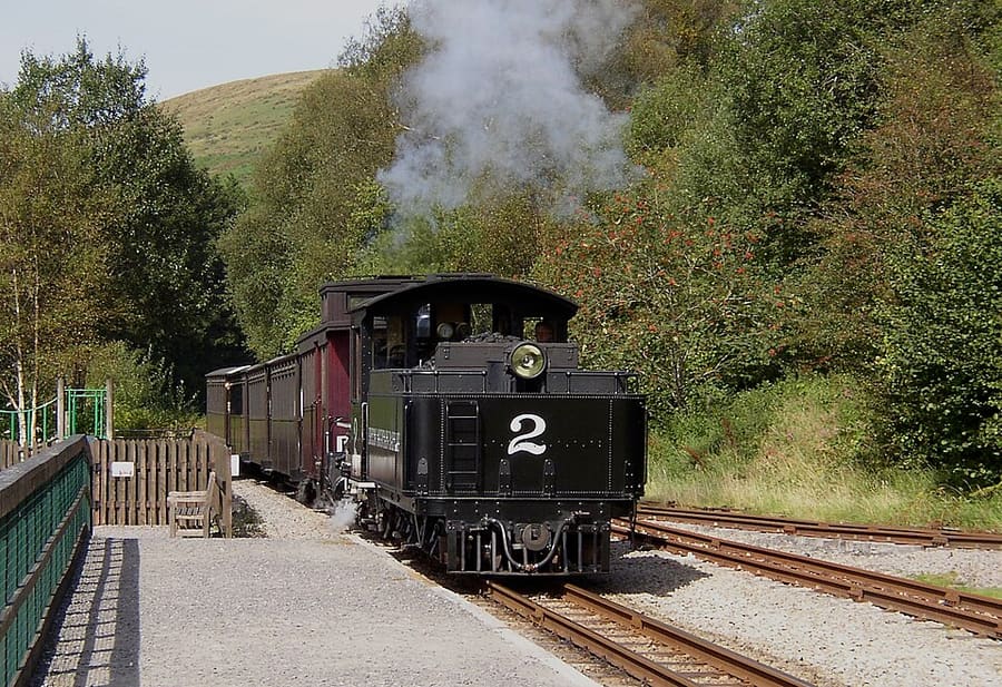
Narrow gauge tourist railway climbing north from Pant along the full length of the Pontsticill Reservoir.
Directions Website Report a problem with Brecon Mountain Railway (Rheilffordd Fynydd y Bannau)
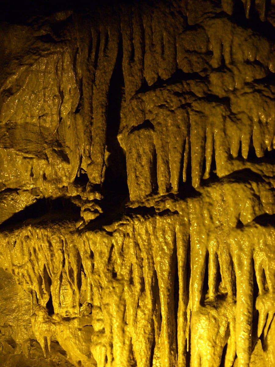
Show cave complex around an 11-mile (17 km) cave system, within a National Nature Reserve.
Directions Website Report a problem with Dan yr Ogof National Showcaves
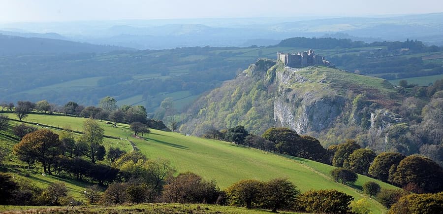
Ruined castle on a high limestone crag above the River Cennen, near Trap, four miles south-east of Llandeilo.
Directions Website Report a problem with Carreg Cennen Castle (Castell Carreg Cennen)
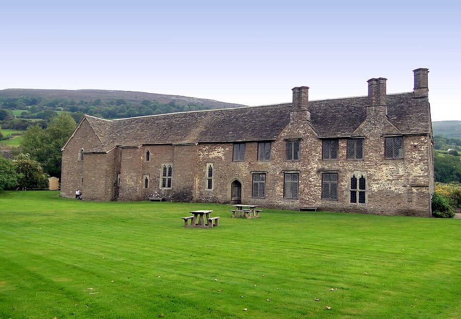
Medieval house and a castle with a round tower, side by side near Crickhowell and spanning 900 years, in Cadw's care.
Directions Website Report a problem with Tretower Court and Castle
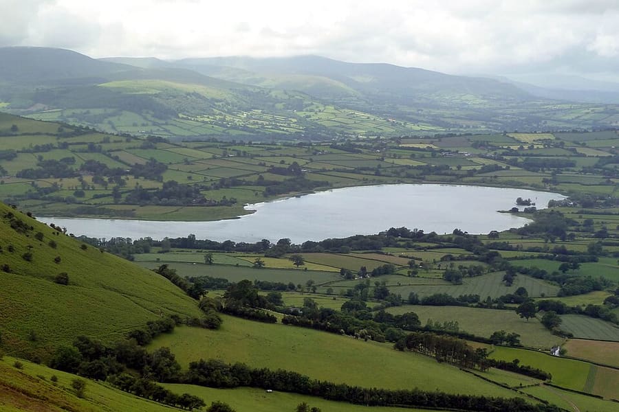
Largest natural lake in mid and south Wales, used for fishing and watersports, near Llangors.
Directions Report a problem with Llangorse Lake (Llyn Syfaddan)
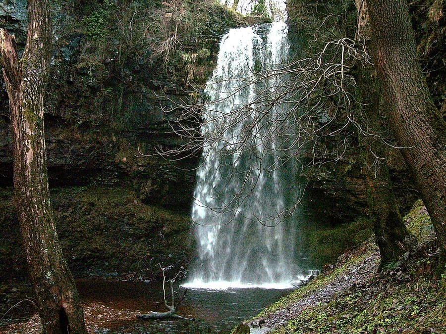
Tallest waterfall in southern Wales, with a drop of 90 feet (27 m); it was the Batcave entrance in Christopher Nolan's Batman films.
Directions Report a problem with Henrhyd Falls (Sgwd Henrhyd)
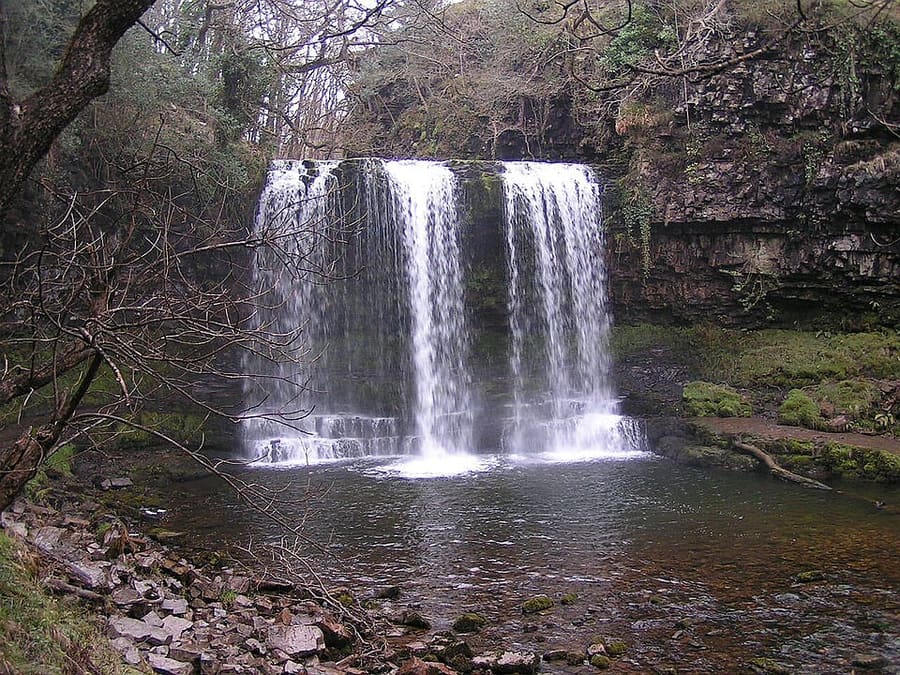
Waterfall on the Afon Hepste, in the Waterfall Country on the south side of the park.
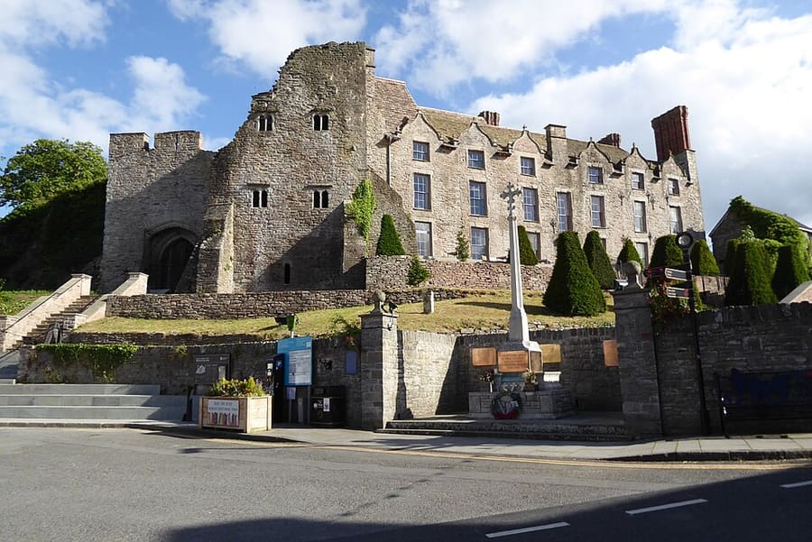
Medieval castle and 17th-century Jacobean mansion in Hay-on-Wye, now run by Hay Castle Trust.
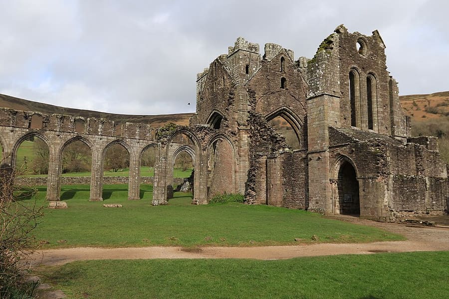
Partly ruined Augustinian priory in the secluded Vale of Ewyas in the Black Mountains.
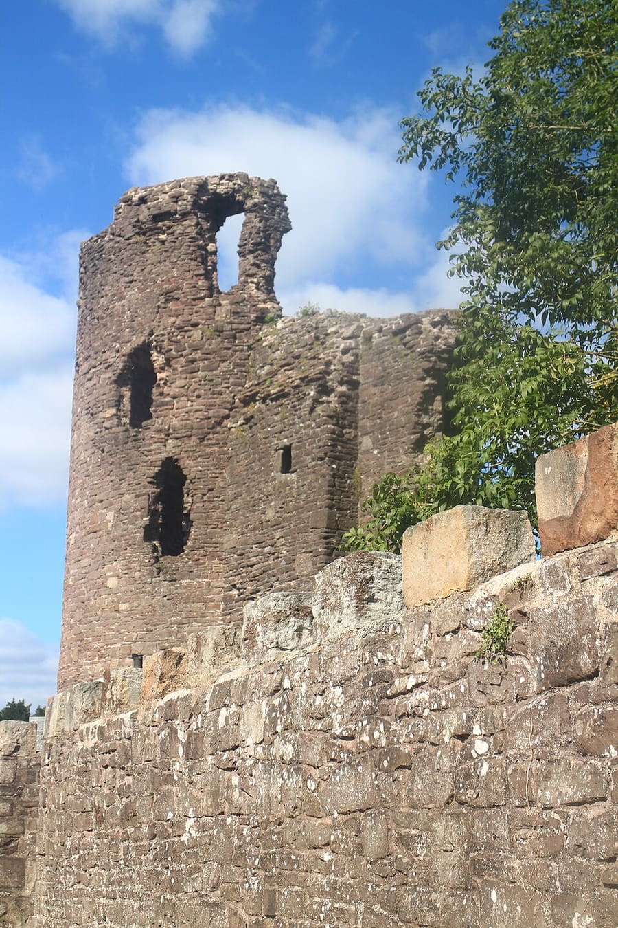
Ruined castle in Abergavenny founded around 1087, the site of a massacre of Welsh noblemen in 1175.
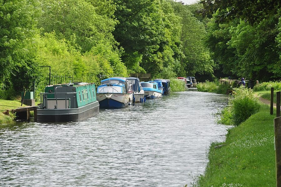
Canal with about 35 navigable miles (56 km), most of them within the national park.
Directions Website Report a problem with Monmouthshire and Brecon Canal
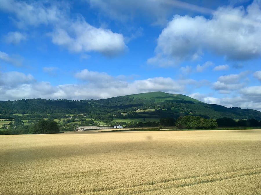
Hill of 596 metres (1,955 ft) two miles north-west of Abergavenny, the southernmost summit of the Black Mountains.
Directions Report a problem with Sugar Loaf (Mynydd Pen-y-fâl)
Wales
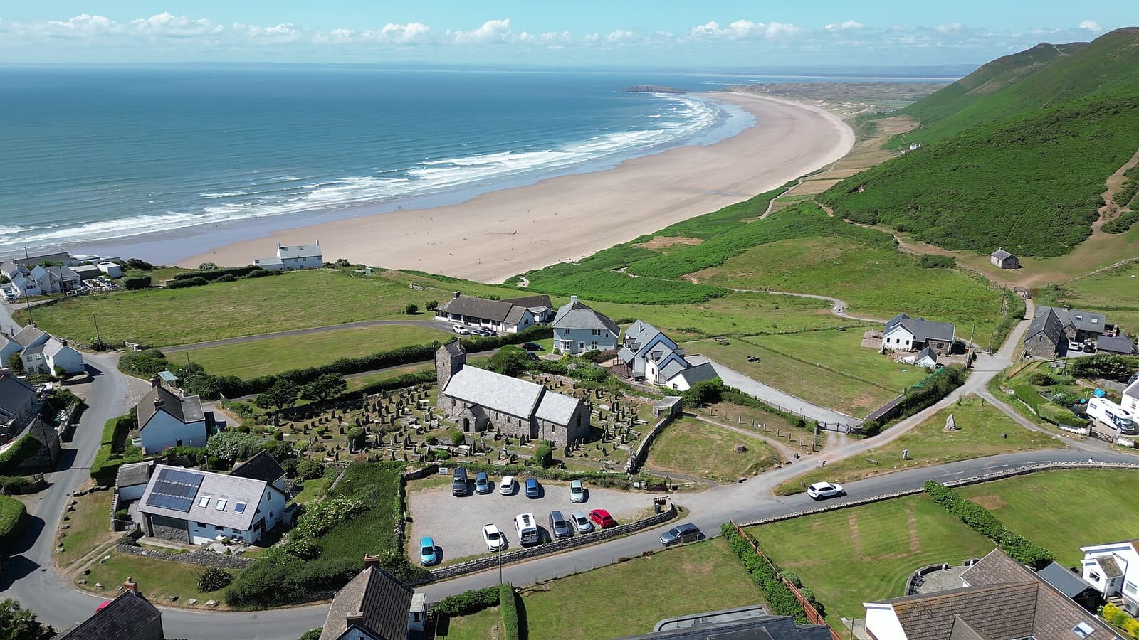
A waterfront city, Mumbles and the first Area of Outstanding Natural Beauty in the UK
Open the mini guide →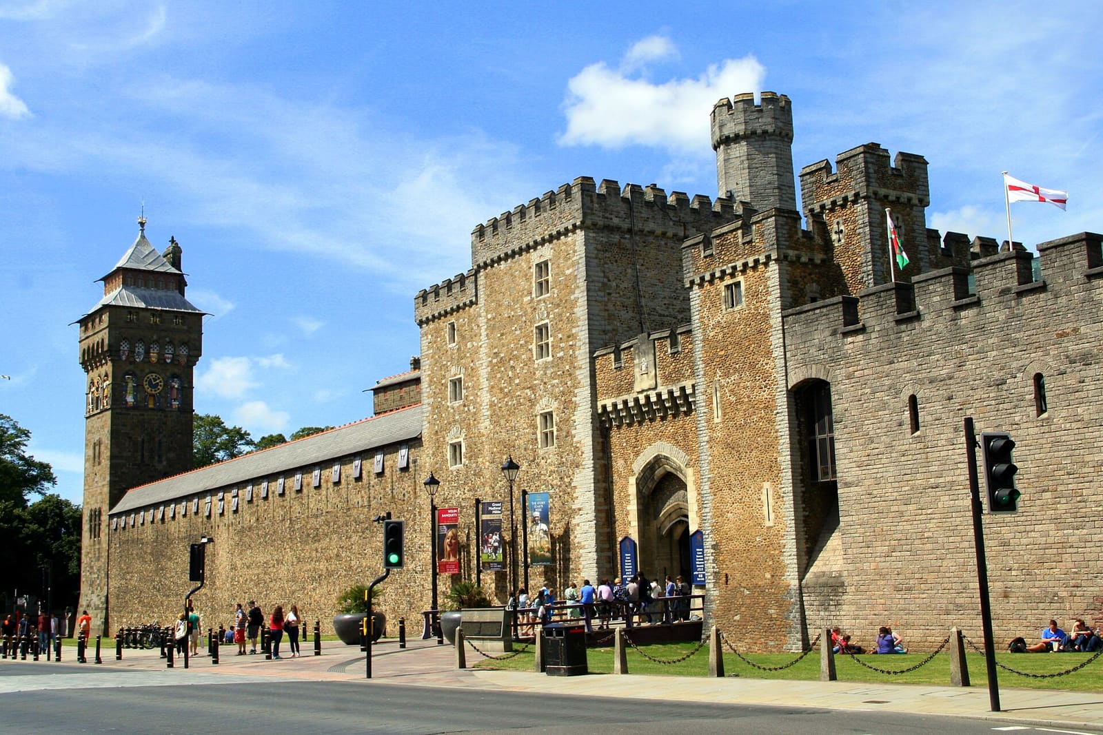
A compact capital: a castle in the city centre, free museums and a redeveloped bay
Open the mini guide →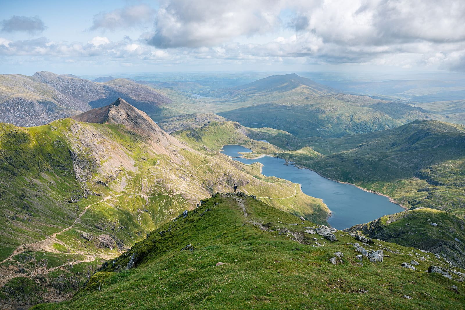
Yr Wyddfa, mountain railways and slate heritage in the first national park in Wales
Open the mini guide →Photos from Wikimedia Commons, used under the licences shown. All photo credits
Keep exploring Wales