 English (UK)
 English (US)
 Français
 Deutsch
 Español
 Italiano
 Nederlands
 简体中文
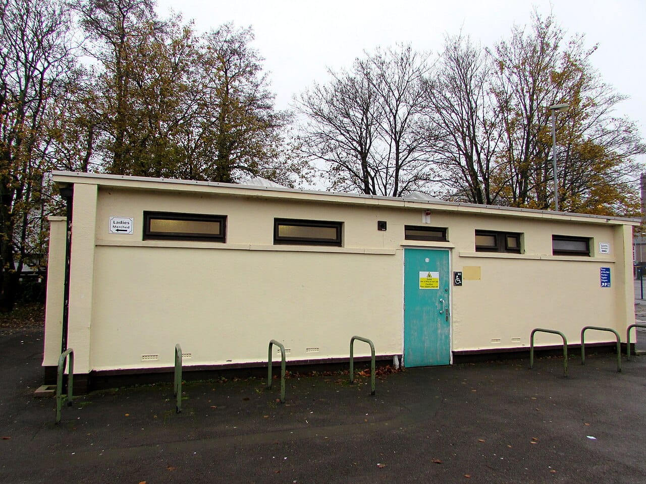

Please read this first. These points come from OpenStreetMap contributors, not from councils or venues, and we have not visited them. A point can be out of date, closed, locked or missing. We never say whether a toilet is open at this moment: where opening hours are tagged we show them exactly as written, and otherwise we say “not recorded”. Check on the day.
The layers
- Toilets. Every public toilet mapped as
amenity=toilets, including some that are only for customers (marked as such).1 - Step-free toilets. Toilets mapped with
wheelchair=yes. OpenStreetMap defines this as full, unrestricted wheelchair access with no steps.2 Toilets mapped “limited” or “no” are not in this layer, and neither are toilets with no wheelchair tag. - Adult changing tables. Toilets mapped with an adult-size changing table (
changing_table:adult=yes).3 This is the closest tag to a Changing Places toilet, but a tag is not the same as being on the national register, and a register entry will not always be tagged. Use the Changing Places finder (opens in new tab) for the register, which we do not copy.6 - Baby changing. Toilets mapped with
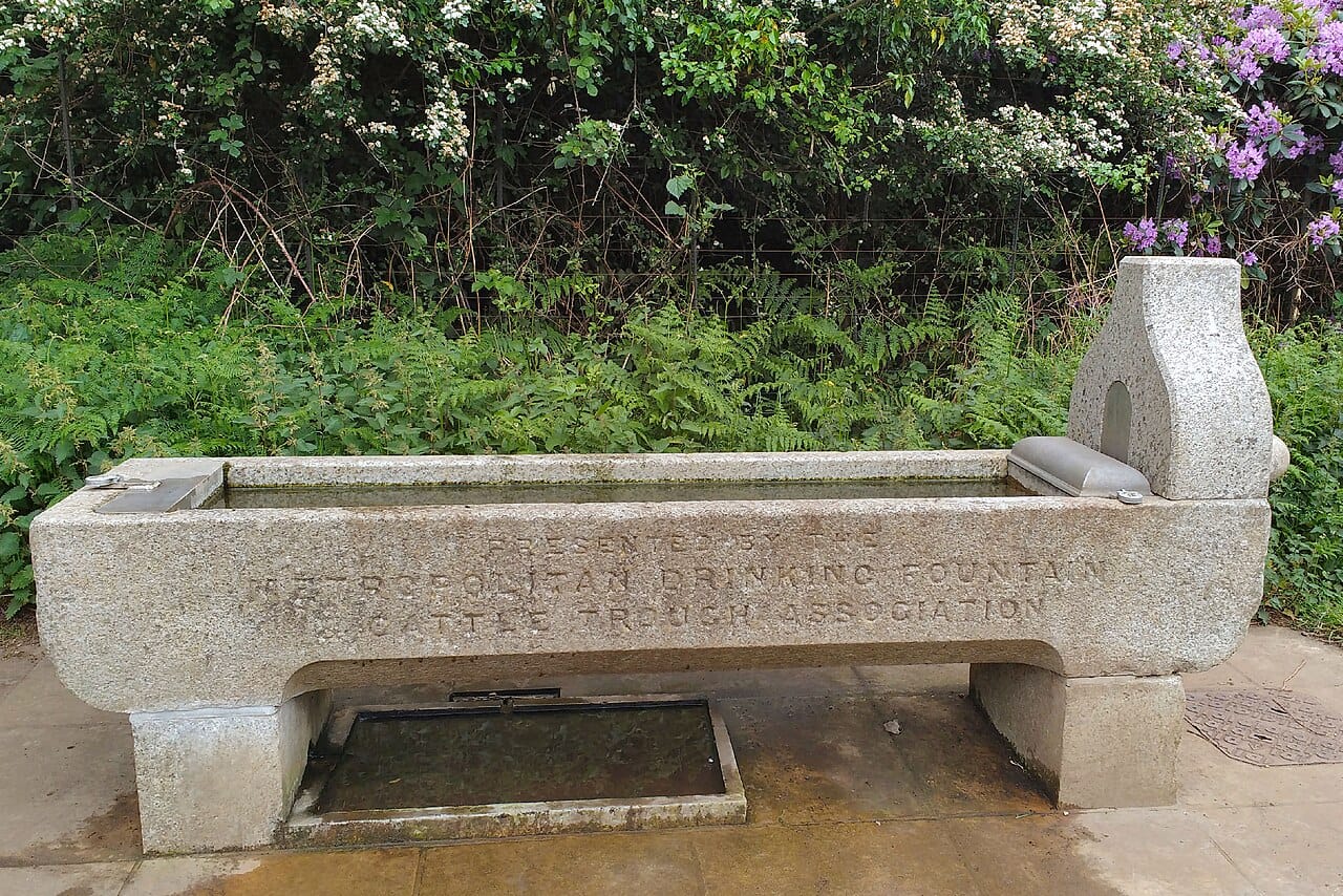
changing_table=yes(or the olderdiapertag).3 - Drinking water. Points mapped as
amenity=drinking_water. Water points marked as not drinkable, or private, are left out. Some are seasonal and can be switched off in cold months: we say so when it is tagged.4
Use them on the map (open “Practical: toilets and water”, pick a region) or on Near me now (chips Toilets, Step-free toilets, Baby changing and Water).
How complete is it?
- OpenStreetMap coverage varies a lot between towns, villages and the countryside. A toilet that is not on the map is not a sign that none exists.
- Details are optional. When a toilet has no fee, wheelchair or changing tag, we show “not recorded”. We do not guess, and we do not assume free or accessible.
- We cover the areas around the places in our guides (roughly 1 km beyond them), not whole regions. Outside that you will see no points, which means “not fetched”, not “none”.
- The data is a snapshot taken on 25 October 2026. It does not update live.
- Toilets that OpenStreetMap marks as private or not open to the public are left out. Customer-only toilets are kept and labelled.
By destination
32 toilets and 8 drinking-water points in the files at the time of the last build. Counts depend on what contributors have mapped.
| Destination | Toilets | Step-free | Adult table | Baby changing | Water | See them |
|---|---|---|---|---|---|---|
| Bath | 32 | 22 | 0 | 5 | 8 | Map: toilets and water in Bath |

Add or correct a point
Everything here comes from OpenStreetMap, which anyone can edit. If you find a toilet that is missing, closed or wrongly described, fixing it helps every site and app that uses the data, including this one.
- On any point, choose “View or fix on OpenStreetMap”. To report a problem without editing, use Fix the map (opens in new tab).7
- To add or edit it yourself, start with the beginners’ guide (opens in new tab). Tag only what you have seen:
amenity=toilets, thenwheelchair,fee,changing_tableandopening_hoursif you know them.8 - New edits reach this site the next time we refresh the data, not straight away.

Related guides
Accessible travel in Britain, Accessible London, Family London and how we handle sources.
Data licence
Toilet and drinking-water data: © OpenStreetMap contributors, available under the Open Database Licence (opens in new tab).5 See also credits.
Sources
Pages read on 25 October 2026.
- OpenStreetMap wiki: Tag:amenity=toilets (opens in new tab): how public toilets, fees, opening hours and access are tagged.
- OpenStreetMap wiki: Key:wheelchair (opens in new tab): what yes, limited and no mean for step-free access.
- OpenStreetMap wiki: Key:changing_table (opens in new tab): baby changing tables, and the separate adult changing table key.
- OpenStreetMap wiki: Tag:amenity=drinking_water (opens in new tab): how drinking-water points are tagged.
- OpenStreetMap copyright and licence (opens in new tab): data is open under the Open Database Licence and must be credited.
- Changing Places toilet finder (opens in new tab): the national register of Changing Places toilets (we link to it and do not copy it).
- OpenStreetMap: fix the map (opens in new tab): how to report or correct a wrong or missing feature.
- OpenStreetMap wiki: Beginners’ guide (opens in new tab): how to add a toilet or water point yourself.