 English (UK)
 English (US)
 Français
 Deutsch
 Español
 Italiano
 Nederlands
 简体中文
A mini guide to
Ullapool, Coigach & Assynt: getting there
Stops, stations and how to reach Ullapool, Coigach & Assynt
Stops and stations
Getting to Ullapool, Coigach & Assynt
Choose the stop closest to where you are going.
| Stop or station | Services | Good for |
|---|---|---|
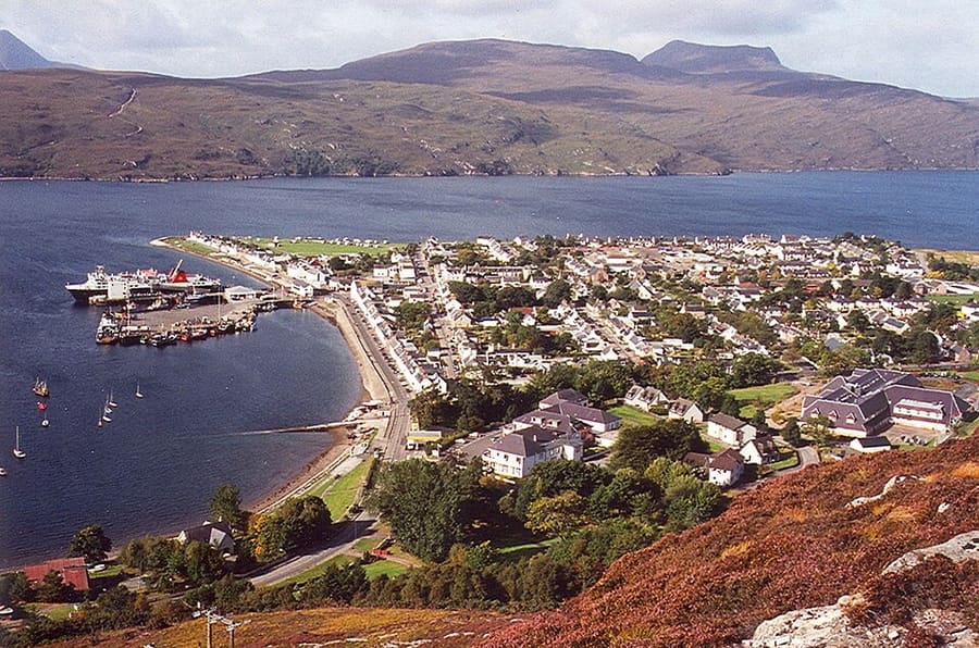
| Ullapool ferry terminal | CalMac ferry to Stornoway | CalMac says the crossing to Lewis takes 2 hours 45 minutes and recommends vehicle reservations |
| Ullapool bus stops | Bus to Inverness | CalMac's Lewis page gives about 1 hour 30 minutes from Inverness; check Traveline Scotland for times |
| Inverness | Rail, coach and air hub | The nearest railway station and airport; Ullapool is about 45 miles away by road |
| A835 and A837 | Car | The A835 links Inverness and Ullapool; the A837 continues to Lochinver past Loch Assynt |
Walking from nearby areas
- Durness, Thurso & John o' Groats: 104.3 km from Ullapool, Coigach & Assynt, better by public transport
Reaching North Coast 500
Official travel information
Inverness is the gateway: the North Coast 500 starts and ends there, and it has the nearest airport and the main railway station. Check each operator for current times, fares and disruption, especially for ferries in bad weather.
- North Coast 500 → — Official route site with road safety and motorhome advice
- VisitScotland → — National tourist board
- The Highland Council → — Local council: roads, public toilets and local services
- Mountain Weather Information Service → — Mountain forecasts for the Northwest Highlands
- Scottish Outdoor Access Code → — Guidance on responsible access and wild camping
Times, fares and disruption change: use the operator pages above for live information.
Plan your journey here
Enter your starting point and Google Maps will show routes to Ullapool, Coigach & Assynt. Public transport is selected; change it on the map. Check operator sites for live disruption.
While you are here
Things to see in Ullapool, Coigach & Assynt
A few of the sights in the area. The Things to do page lists them all, with directions and official links.
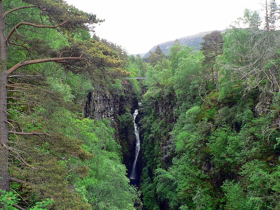
Corrieshalloch Gorge
Gorge about 60 m deep where the 46 m Falls of Measach are seen from a Victorian suspension bridge; National Trust for Scotland.
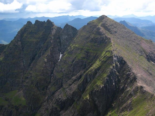
An Teallach
Torridonian sandstone mountain group south of Little Loch Broom; its highest top, Bidean a' Ghlas Thuill, reaches 1,062 m.
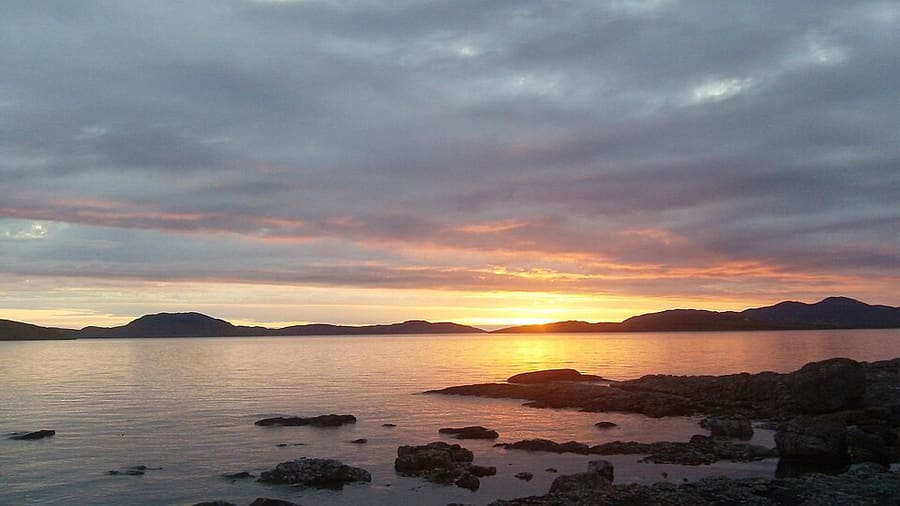
Summer Isles
Archipelago at the mouth of Loch Broom, seen from the Coigach coast around Achiltibuie and Altandhu.
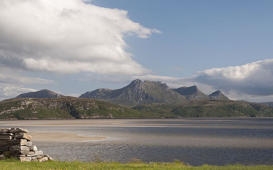
Photo credits
- Ullapool harbour and Loch Broom: Thewhale (Walter A. Lüthi), CC BY-SA 3.0, source
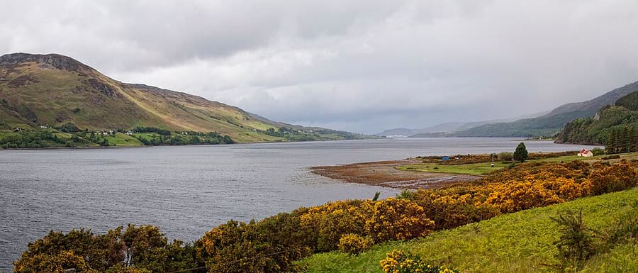
- Ullapool, Coigach & Assynt (area photo): Paul Hermans, CC BY-SA 3.0, source
- Corrieshalloch Gorge: Wojsyl, CC BY-SA 3.0, source
- An Teallach: David Crocker, CC BY-SA 2.0, source
- Summer Isles: David Fowlie, CC BY-SA 2.0, source
- Durness, Thurso & John o' Groats: Paul Hermans (derivative work: Hogweard), CC BY-SA 3.0, source
Photos from Wikimedia Commons, used under the licences shown. All photo credits
Keep exploring North Coast 500