 English (UK)
 English (US)
 Français
 Deutsch
 Español
 Italiano
 Nederlands
 简体中文
Heritage railway
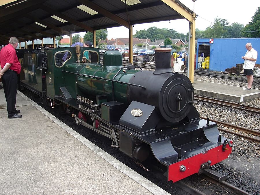
Bure Valley Railway
Narrow-gauge steam railway from Wroxham to Aylsham, laid on a former standard-gauge trackbed beside a footpath.
Directions Website Report a problem with Bure Valley Railway
A mini guide to
Places worth your time in Wroxham, Hoveton & the northern Broads
Top places
Landmarks, museums, parks and viewpoints in and around the area.
Narrow-gauge steam railway from Wroxham to Aylsham, laid on a former standard-gauge trackbed beside a footpath.
Directions Website Report a problem with Bure Valley Railway
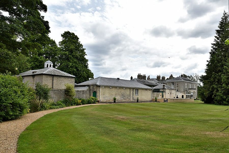
Regency-style country house built in 1809-1812 in the parish of Hoveton, with gardens.
Woodland adventure park at Horning with treehouses, rope bridges, slides, zip wires and areas for under-fives.
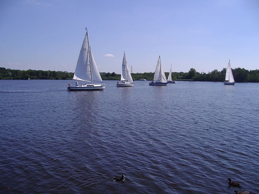
Open water of about 34 hectares beside the River Bure, formed, like the other broads, by flooded medieval peat diggings.
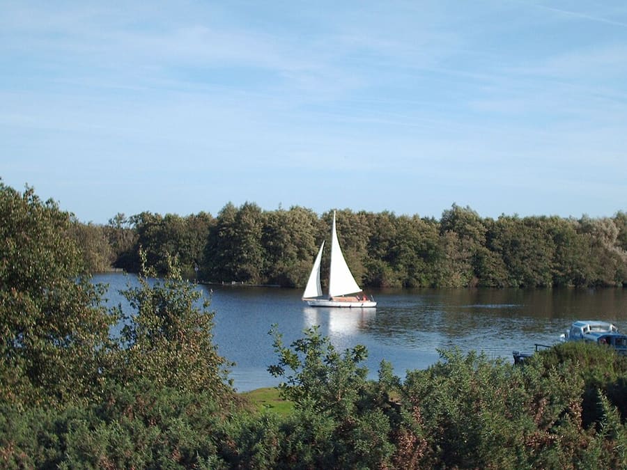
Broad on the River Bure downstream of Wroxham, on the edge of Salhouse parish.
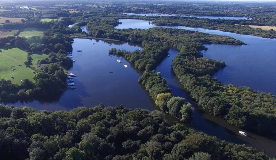
Broad on the River Bure between Wroxham Broad and Salhouse Broad, within the Bure Marshes reserve.
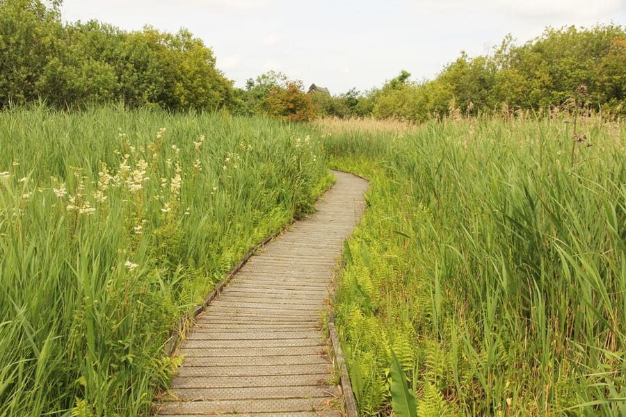
Nature reserve of 136 hectares run by the Norfolk Wildlife Trust, part of the Bure Marshes National Nature Reserve.
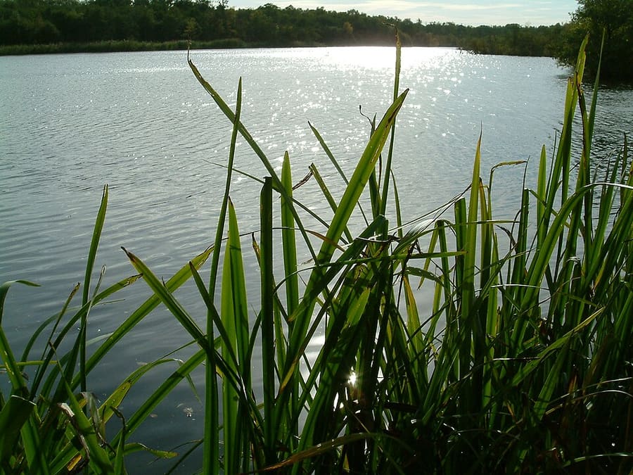
Small Norfolk Wildlife Trust reserve near Woodbastwick, part of the Bure Marshes National Nature Reserve.
Medieval church called the 'Cathedral of the Broads', known for its painted rood screen and the Ranworth Antiphoner.
Directions Report a problem with St Helen's Church, Ranworth
Reserve created in 1958 covering about 450 hectares of wetland in the floodplain of the River Bure.
Directions Report a problem with Bure Marshes National Nature Reserve
Museum on the site of the former radar and control base RAF Neatishead, near Horning.
Directions Website Report a problem with RAF Air Defence Radar Museum
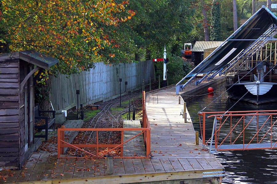
Miniature railway in a Wroxham garden, open on set days in the season; check its website before you go.
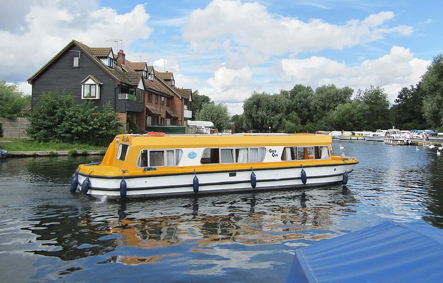
Chalk river that flows through Wroxham and Horning; Coltishall Bridge is now the head of navigation.
Norfolk and the Broads
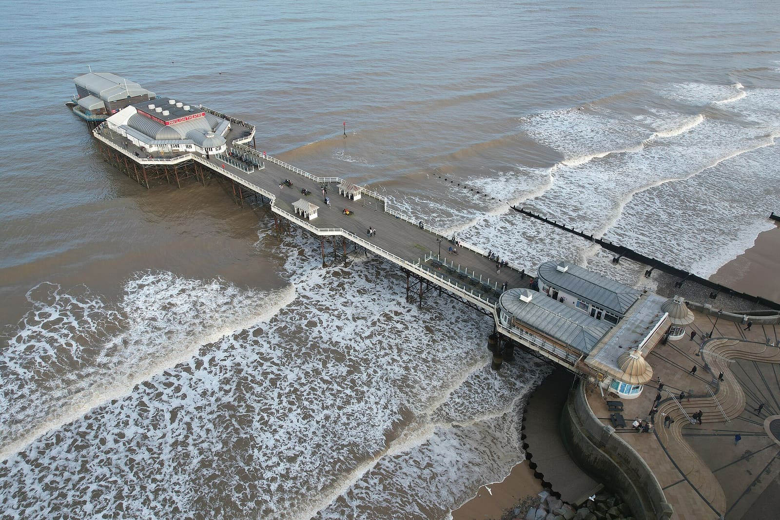
Victorian seaside towns with a pier, crab boats, heritage steam trains and the highest hill in Norfolk
Open the mini guide →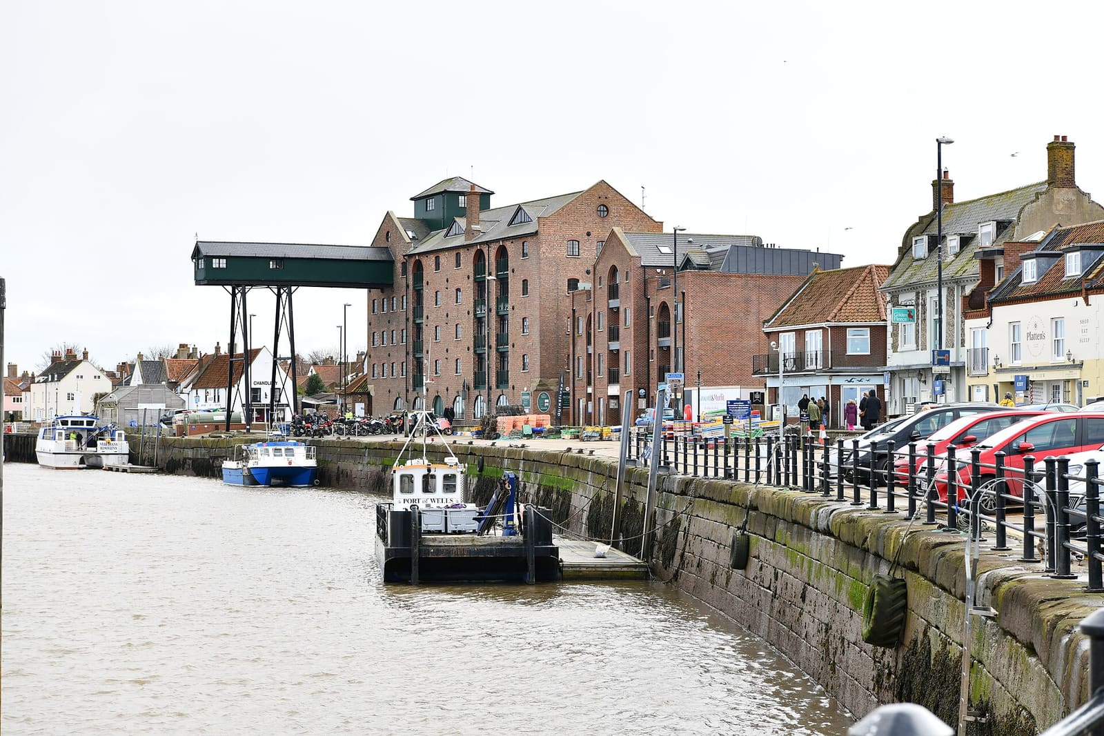
Salt marsh, dunes and seals between a harbour town, a Palladian house and flint villages
Open the mini guide →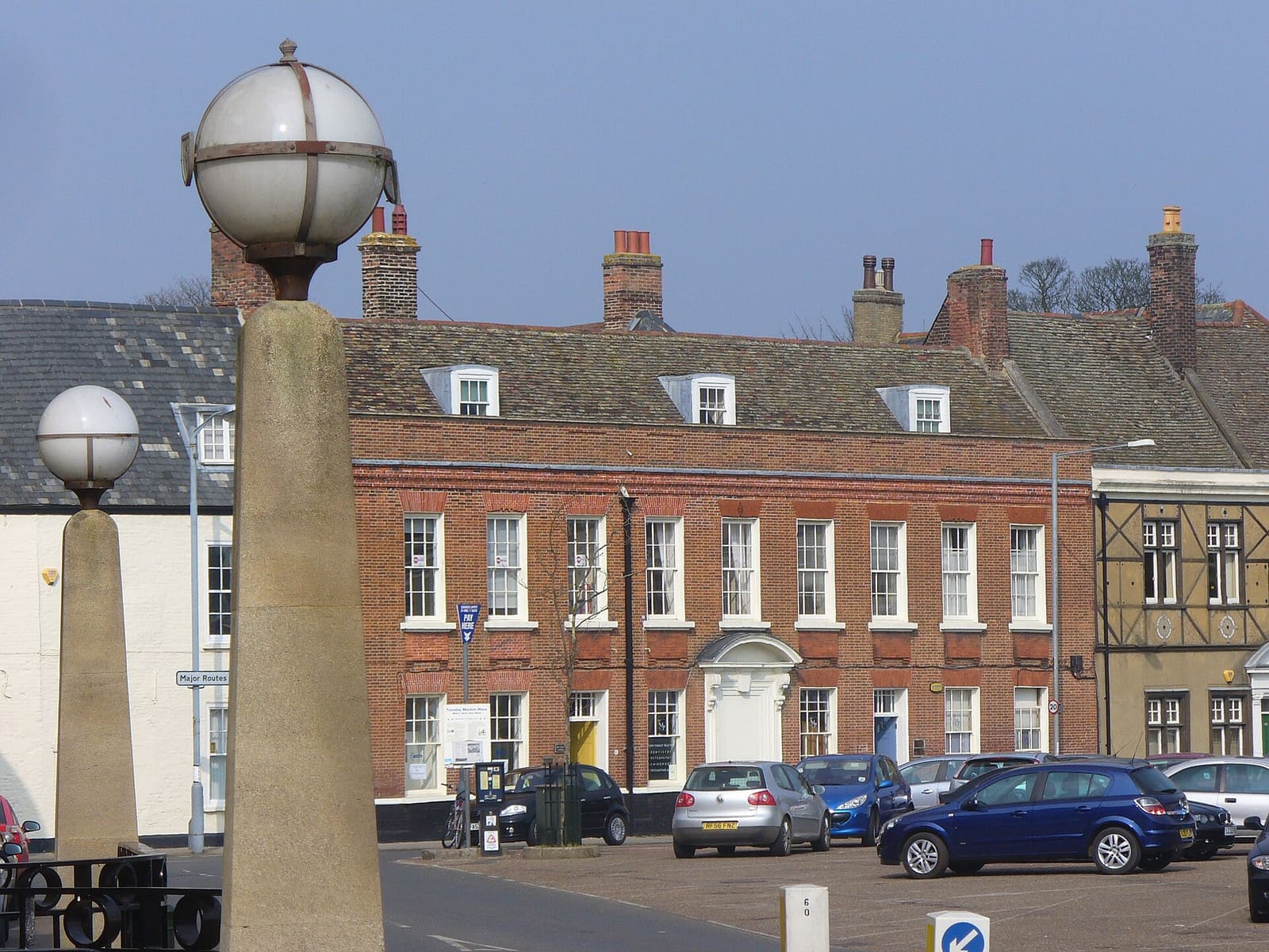
A medieval port on the Great Ouse, a Norman castle and the royal Sandringham estate
Open the mini guide →Photos from Wikimedia Commons, used under the licences shown. All photo credits
Keep exploring Norfolk and the Broads