 English (UK)
 English (US)
 Français
 Deutsch
 Español
 Italiano
 Nederlands
 简体中文
A mini guide to
Ouseburn and Jesmond: getting there
Stops, stations and how to reach Ouseburn and Jesmond
Stops and stations
Getting to Ouseburn and Jesmond
Choose the stop closest to where you are going.
| Stop or station | Services | Good for |
|---|---|---|
| Manors | Tyne and Wear Metro | Nearest Metro station for the lower Ouseburn valley |
| Byker | Tyne and Wear Metro | Metro station on the eastern side of the valley |
| Jesmond | Tyne and Wear Metro | Metro station for Jesmond and Osborne Road |
| Haymarket | Tyne and Wear Metro | Metro station near the Great North Museum and Hatton Gallery |
Within walking range
Stations near Ouseburn and Jesmond
Stations and stops mapped in OpenStreetMap within 2.5 km of the centre of Ouseburn and Jesmond, nearest first. Distances are straight lines; walking times assume 5 km/h and are a minimum.
| Station or stop | Type | Distance | On foot |
|---|---|---|---|
| Monument | Station | 1.3 km | about 15 min |
| Chillingham Road | Station | 1.6 km | about 19 min |
| St James | Station | 1.7 km | about 21 min |
Station data: © OpenStreetMap contributors (ODbL), read 3 November 2026. Check step-free access with the operator before you travel.
Walking from nearby areas
- Quayside and Gateshead: 1.3 km from Ouseburn and Jesmond, about 16 min on foot
- Grainger Town: 1.4 km from Ouseburn and Jesmond, about 17 min on foot
- Tynemouth: 11.5 km from Ouseburn and Jesmond, better by public transport
Reaching Newcastle and Gateshead
Official travel information
Newcastle has an international airport on the Metro network and a main-line station in the city centre. Always check the operator for current times, fares and disruption.
- Travel North East: Metro → — stations, timetables and tickets
- Travel North East: Shields Ferry → — North Shields to South Shields
- National Rail: Newcastle station → — facilities, step-free access and departures
- Newcastle International Airport → — flights and airport information
- Newcastle City Council → — local information
Times, fares and disruption change: use the operator pages above for live information.
Plan your journey here
Enter your starting point and Google Maps will show routes to Ouseburn and Jesmond. Public transport is selected; change it on the map. Check operator sites for live disruption.
While you are here
Things to see in Ouseburn and Jesmond
A few of the sights in the area. The Things to do page lists them all, with directions and official links.
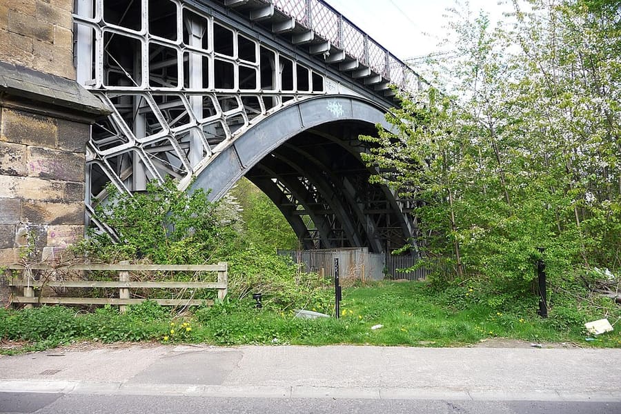
Ouseburn Viaduct
Railway viaduct of 1839 by John and Benjamin Green, rebuilt in wrought iron about 30 years later; Grade II* listed.
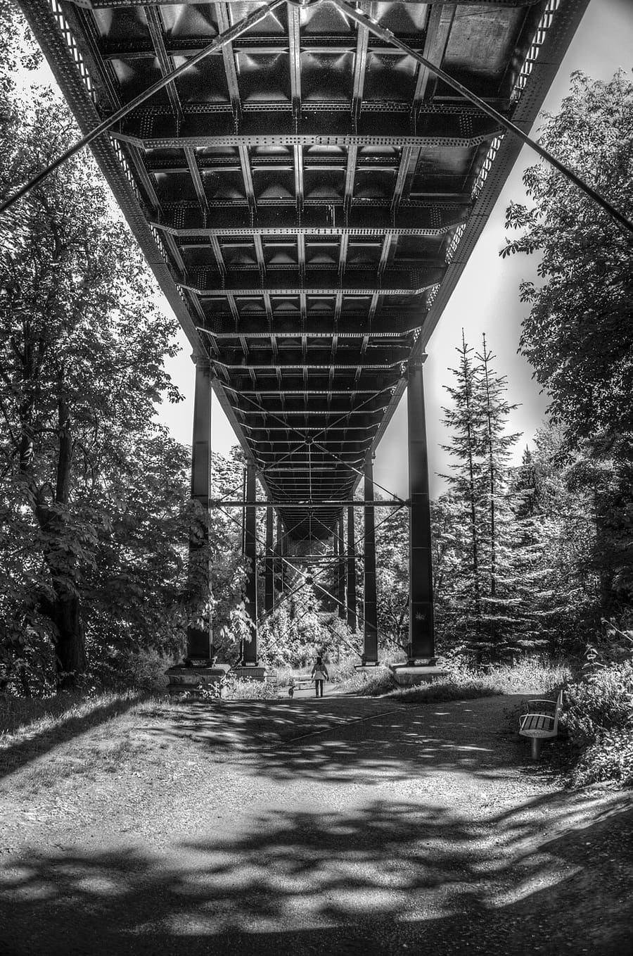
Armstrong Bridge
Victorian iron bridge high above Jesmond Dene, now for pedestrians and cyclists.
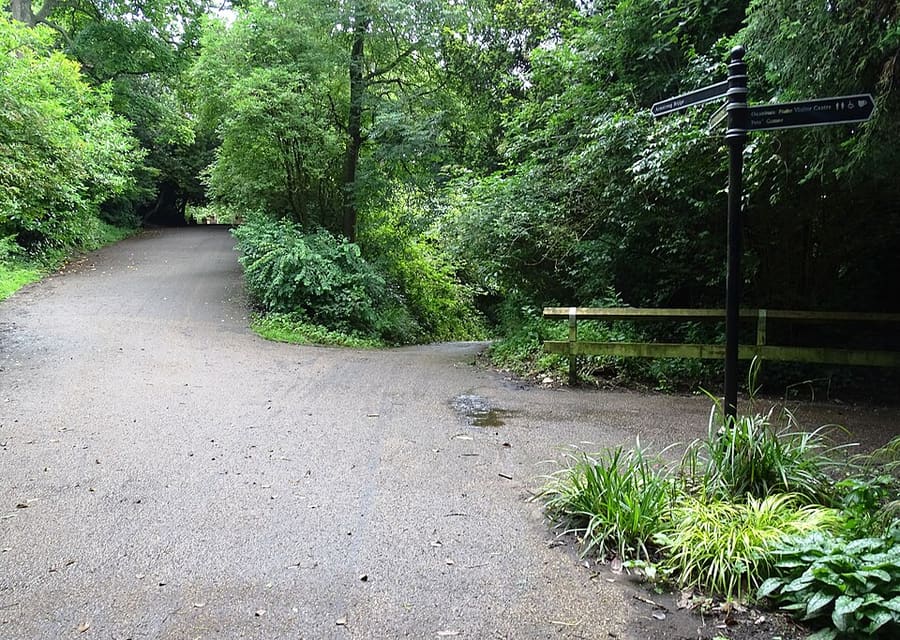
Jesmond Dene
Wooded valley park along the Ouseburn, first laid out by Lord Armstrong and his wife.
Newcastle and Gateshead
More areas to explore
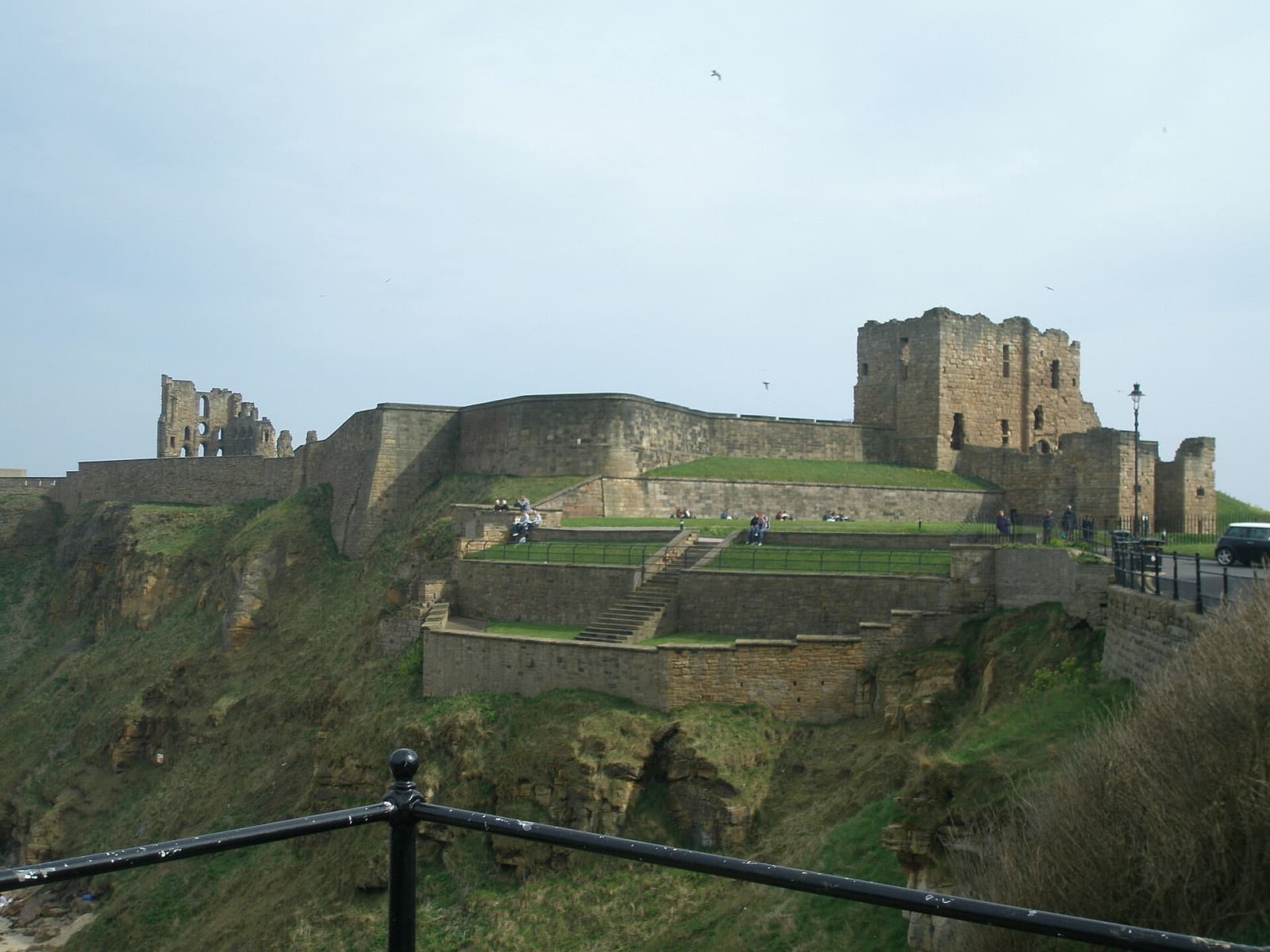
Tynemouth
A priory on the headland, beaches, and the fish quay at North Shields
Open the mini guide →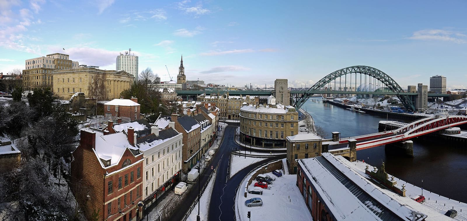
Quayside and Gateshead
Seven bridges, two riverbanks and the oldest streets in the city
Open the mini guide →
Grainger Town
Classical streets, the Grainger Market, museums and the cathedral
Open the mini guide →Photo credits
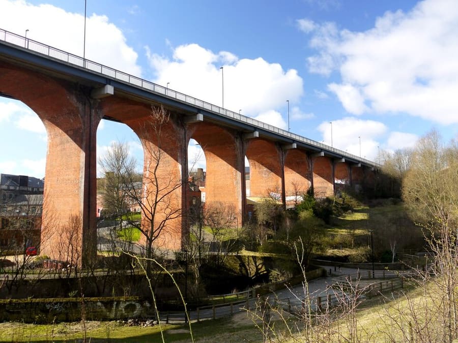
- Byker Bridge: Andrew Curtis, CC BY-SA 2.0, source
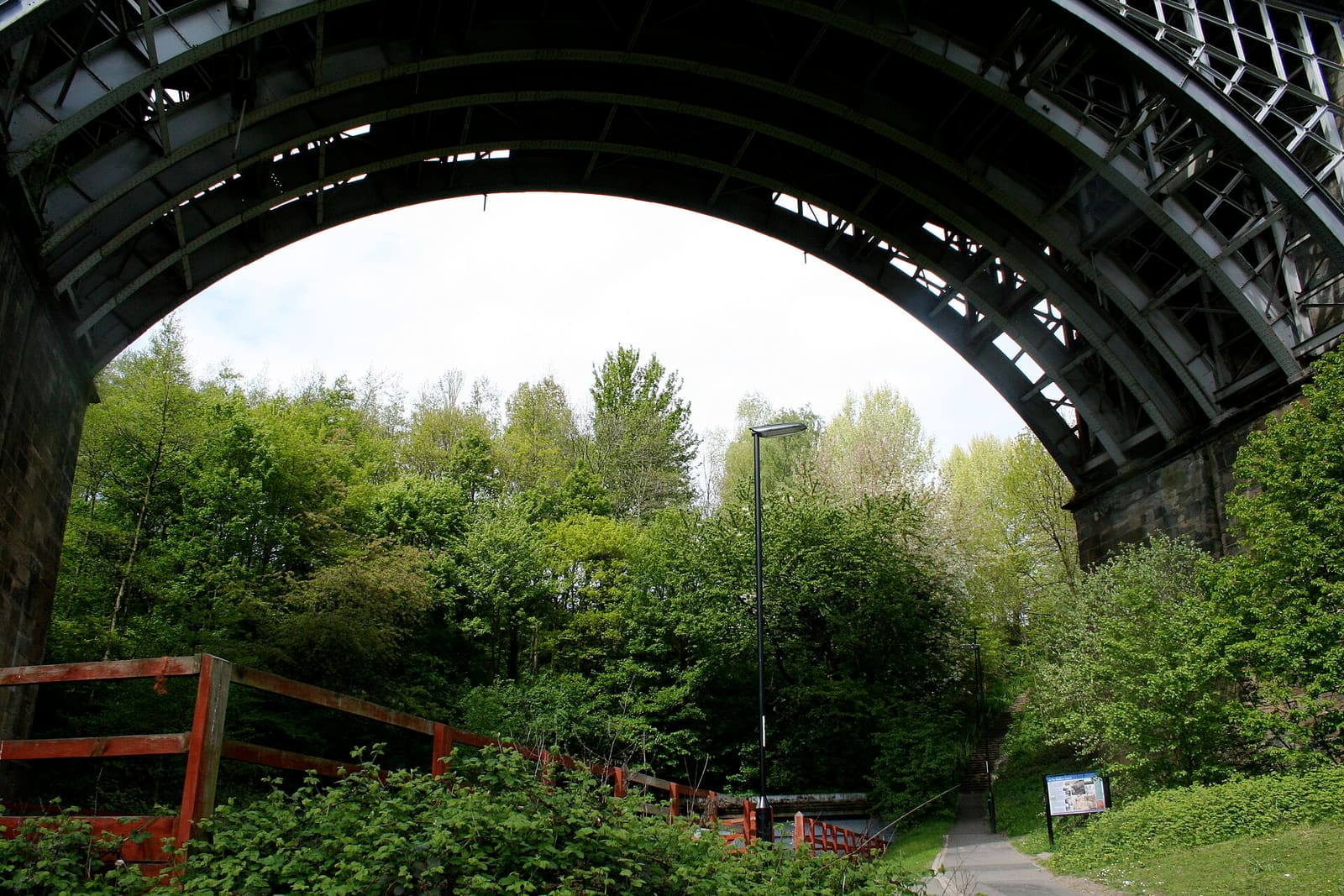
- Ouseburn and Jesmond (area photo): Mary Carson, CC BY-SA 3.0, source
- Ouseburn Viaduct: yellow book, CC BY 2.0, source
- Armstrong Bridge: PaulTurner, CC BY-SA 4.0, source
- Jesmond Dene: Robert Graham, CC BY-SA 2.0, source
- Tynemouth: Dposte46, Public domain, source
- Quayside and Gateshead: Andrew Curtis, CC BY-SA 2.0, source
- Grainger Town: JimmyGuano, CC BY-SA 4.0, source
Photos from Wikimedia Commons, used under the licences shown. All photo credits
Keep exploring Newcastle and Gateshead