 English (UK)
 English (US)
 Français
 Deutsch
 Español
 Italiano
 Nederlands
 简体中文

A mini guide to
Bloomsbury & Fitzrovia: getting there
Stations and how to reach Bloomsbury & Fitzrovia
Stations
Getting to Bloomsbury & Fitzrovia
Choose the station closest to where you are going.
| Station | Lines | Good for |
|---|---|---|
| Russell Square | Piccadilly line | Quiet, close to the British Museum |
| Holborn | Central and Piccadilly lines | For the south of Bloomsbury |
| Tottenham Court Road | Central, Northern and Elizabeth lines | For Fitzrovia and the west |
| Euston Square | Circle, Metropolitan and H&C lines | For the north of Bloomsbury |
From the airports
Reaching Bloomsbury & Fitzrovia
Routes from Heathrow, Gatwick, Stansted, Luton and London City change with engineering works and time of day, so use the live planner for exact directions from any airport or station.
Plan your journey here
Enter your starting point and we will show live routes to Bloomsbury & Fitzrovia.
Airport links
Direct trains from the airports
These airport rail services call at a station that serves Bloomsbury & Fitzrovia, according to each airport's own transport page as summarised on our airport guides. Times and fares are on the airport pages.
Heathrow: Elizabeth line to Tottenham Court Road
Serves all three Heathrow stations and runs through central London, calling at Paddington, Bond Street, Tottenham Court Road, Farringdon, Liverpool Street and Stratford.
Heathrow: Piccadilly line to Russell Square
Serves all Heathrow terminals, with direct trains to stations including Piccadilly Circus, Leicester Square and King's Cross St Pancras.
Airport guides: Heathrow, Gatwick, Stansted, Luton and London City.
Late at night
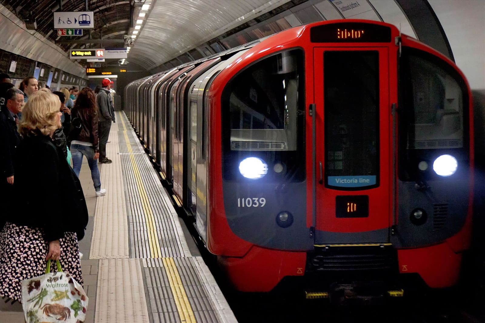
The Night Tube runs through the night on Friday and Saturday nights on the Central, Jubilee, Northern, Piccadilly and Victoria lines.1 Near Bloomsbury & Fitzrovia, that means the Central line at Holborn and Tottenham Court Road, the Northern line at Tottenham Court Road and the Piccadilly line at Russell Square and Holborn. Not every branch or station on those lines is open all night, so check the TfL Night Tube map before you rely on it. On other nights, and on lines without a night service, the last trains run around midnight and night buses take over.
Neighbouring areas
The closest of our other London areas, measured centre to centre in a straight line. The walking time is a minimum at 5 km/h, so allow longer on real streets.
- Marylebone: 1.8 km, at least 22 min on foot
- Mayfair & St James's: 2.0 km, at least 24 min on foot
- Camden: 2.1 km, at least 25 min on foot
- The South Bank: 2.5 km, at least 30 min on foot
Step-free access differs from station to station and lifts can be out of service. Check TfL's step-free information and the accessible London guide before you travel.
Sources
- Night Tube, Wikipedia, read on 1 November 2026. TfL's own Night Tube page did not respond to our fact-check request, so check it before you travel.
- Airport rail links: the official airport pages cited on each of our airport guides.
Keep exploring London