 English (UK)
 English (US)
 Français
 Deutsch
 Español
 Italiano
 Nederlands
 简体中文
Lake
Wast Water
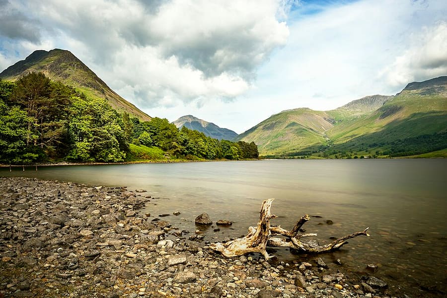
England's deepest lake, in the U-shaped Wasdale valley, with the Screes plunging into its southern shore.
A mini guide to
England's deepest lake and highest mountain, and a little railway through Eskdale
 1 / 9
Welcome to the area
Wasdale is a valley in the west of the National Park. Wast Water, England's deepest lake, lies in a U-shaped valley bottom, with the Screes plunging into it and Scafell Pike, England's highest mountain, above. Wasdale Head, at the north-eastern end of the lake, has a pub, a few houses and the tiny church of St Olaf, and Nether Wasdale to the west has two pubs, a campsite and a café.
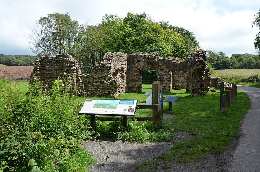
Eskdale, the next valley south, has villages including Boot and Santon Bridge, several pubs and a few shops. The Ravenglass and Eskdale Railway, a 15-inch gauge heritage line, runs about seven miles from Ravenglass to Dalegarth, near Boot. Ravenglass is the only coastal village in the National Park, with Muncaster Castle and a Roman bath house nearby, and Hardknott Roman Fort overlooks the pass between Eskdale and the Duddon valley.
Highlights
If you only have a few hours, these are good places to begin.
England's deepest lake, in the U-shaped Wasdale valley, with the Screes plunging into its southern shore.
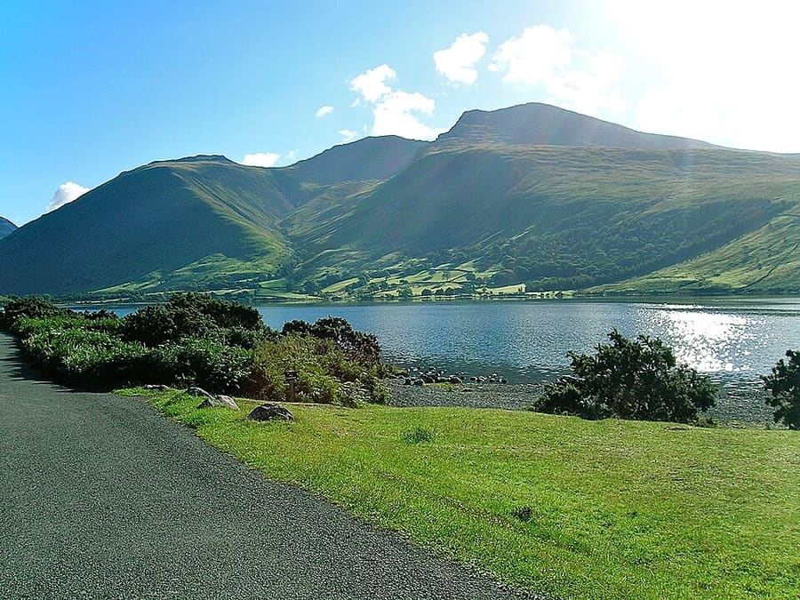
England's highest mountain at 978 metres, part of the Scafell massif above Wast Water.
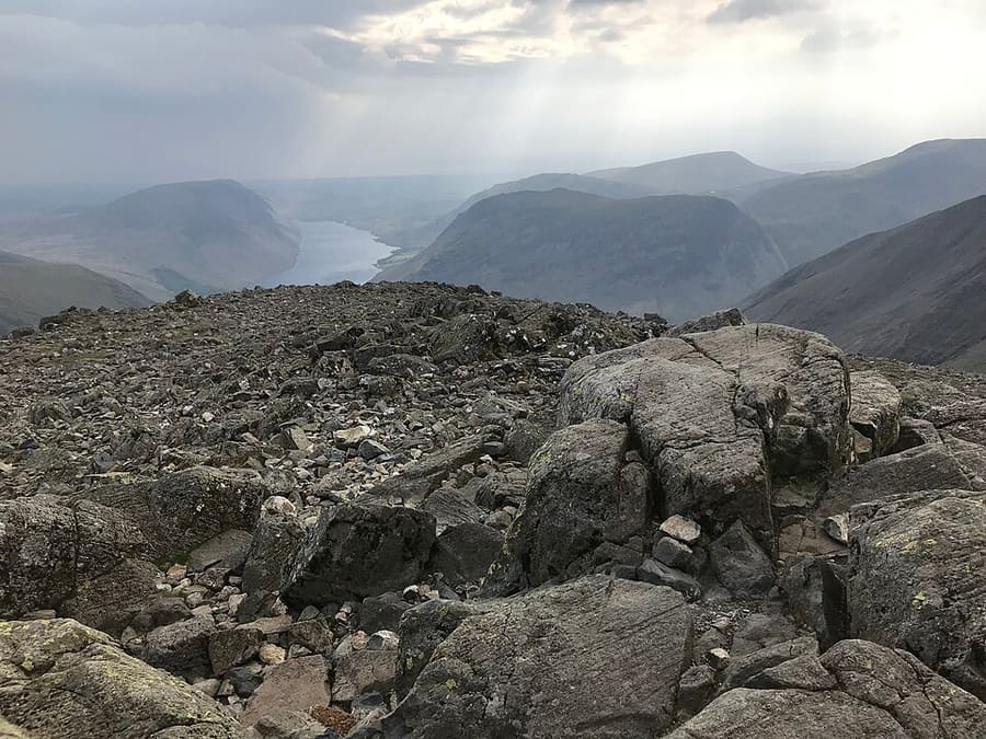
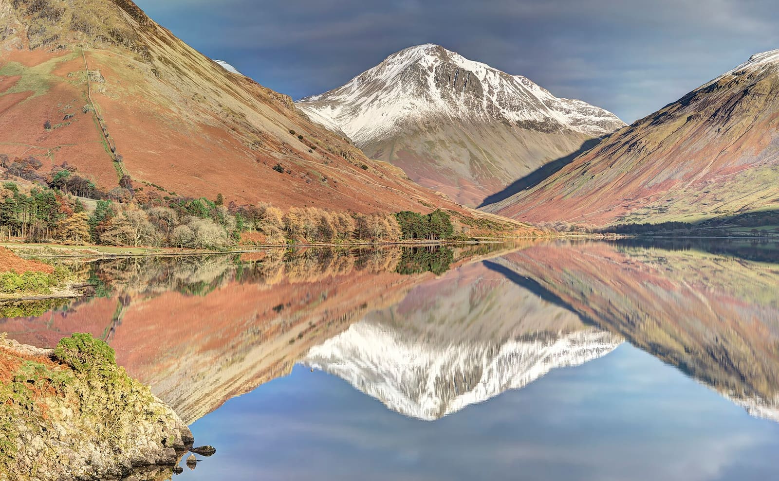
Pyramid-shaped mountain at the head of Wasdale; the view over Wast Water to it is the basis of the National Park's logo.
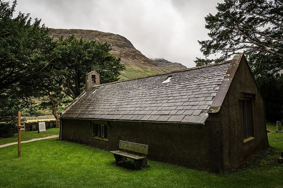
Tiny church at Wasdale Head, at the north-eastern end of Wast Water.
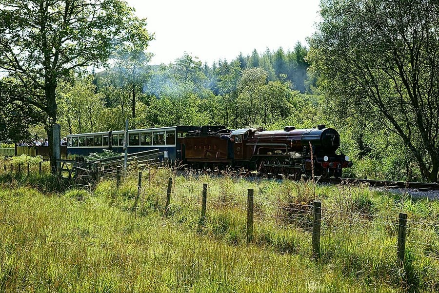
Fifteen-inch gauge heritage railway of about seven miles from Ravenglass to Dalegarth, near Boot.
Directions Website Report a problem with Ravenglass and Eskdale Railway
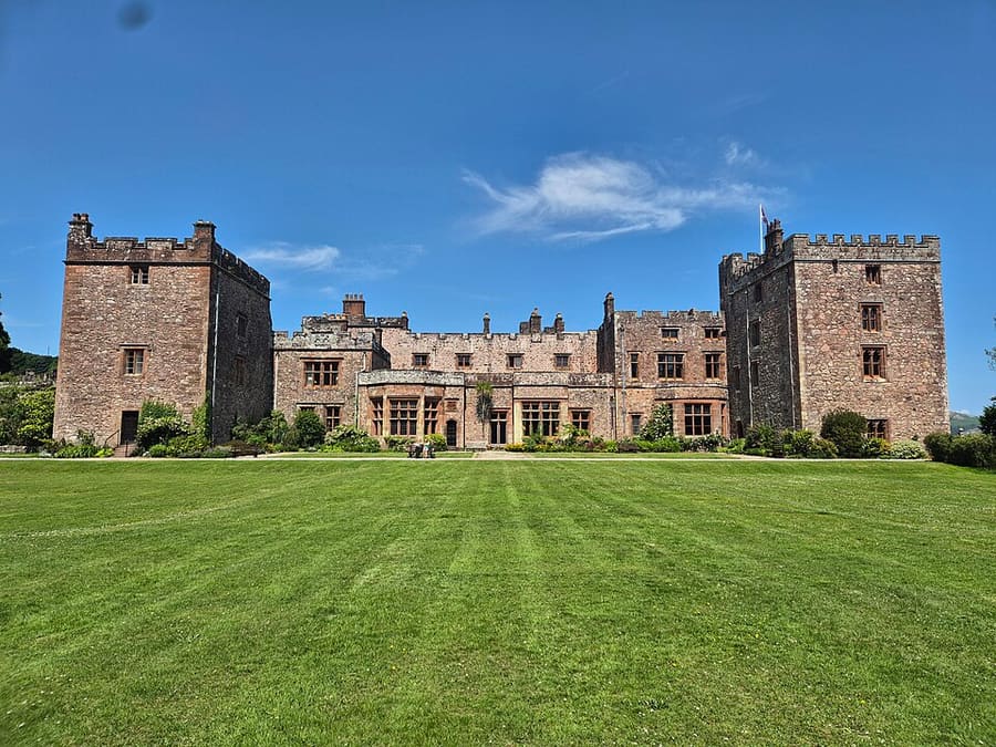
Grade I listed castle overlooking the River Esk about a mile east of Ravenglass.
Find your way
The map shows Wasdale & Eskdale and the streets around it. The Getting there page lists nearby stops and stations.
Insider tips
The National Park Authority says the road to Wasdale Head is narrow and single-track and parking is very limited, and recommends the Wasdale Explorer where it runs.
The Authority tells walkers to arrive with a plan and the right kit. Check its walkers checklist and the weather forecast before you set out.
The Authority describes a River Esk loop from the railway stations as an easy walk of roughly 2.5 hours, and a walk from Dalegarth to Stanley Ghyll waterfall, which has a new viewing platform.
The Authority lists easy-access Miles without Stiles routes at Dalegarth in Eskdale and at Walls Drive in Ravenglass.
Tips from the Britlens editors
The Lake District
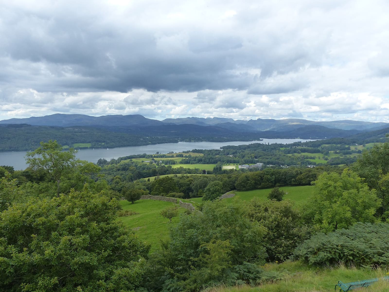
England's largest lake, with lake cruises, a railway station and a lakeside town
Open the mini guide →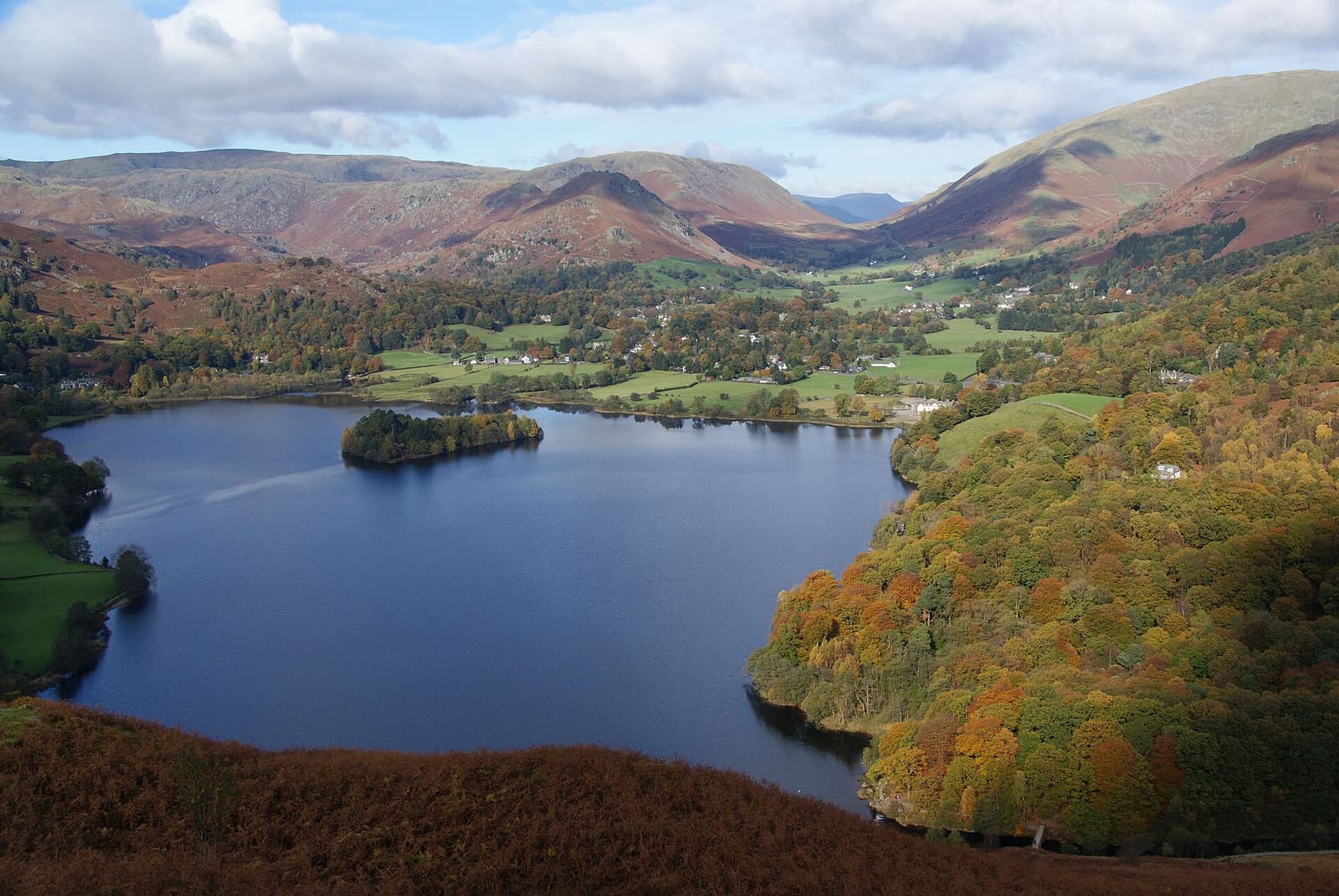
A walking town at the head of Windermere and Wordsworth's village, linked along the Rothay valley
Open the mini guide →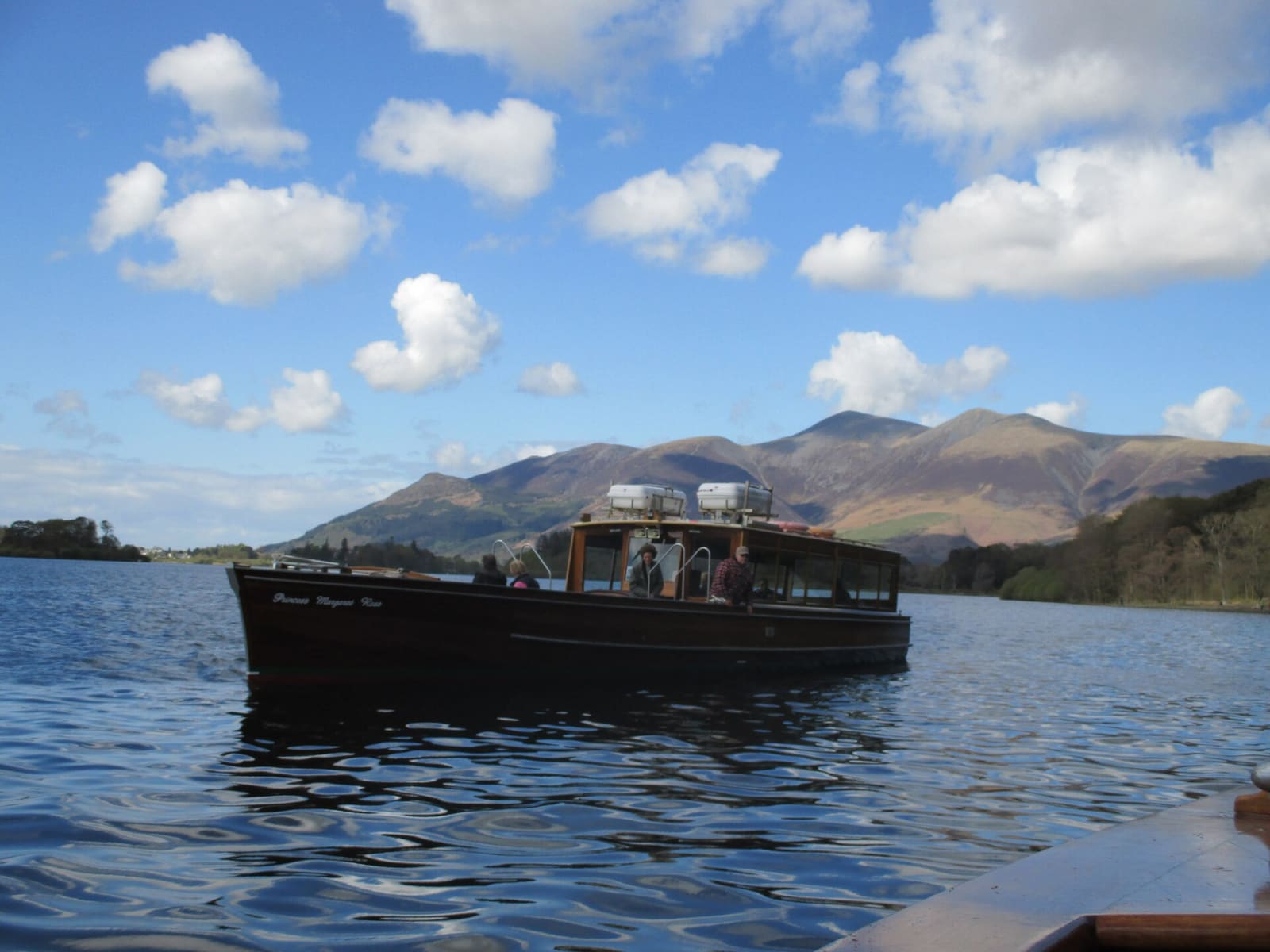
A market town on the shore of Derwentwater, with a stone circle, a theatre and fells on every side
Open the mini guide →Photos from Wikimedia Commons, used under the licences shown. All photo credits
Keep exploring the Lake District